7.3
Wildland
Full day
Time
Check
Cost
Dramatic
Feel
Why it's Wildland
7.3Mull’s highest mountain rises from near sea level to a summit of about 966 metres, making the climb a substantial island mountain day rather than a quick viewpoint stop.
Ben More earns its place for the scale of its climb and the island-wide outlook reported from the summit. The route is strenuous, and clear visibility matters: this is a serious hill day, not a casual stroll.
Dramatic · Wild · Remote
Find your way
Open mapIsle of Mull, Scotland
Opening map…
Know this place a little better?
The experience
Plan for a demanding hill day and go only with suitable fitness, equipment and conditions. The supplied sources describe a strenuous ascent and steep descent, but do not provide a verified route description or start-point details.
Things to do
Climb Ben More
Take on the strenuous ascent of Mull’s only Munro. The supplied visitor account reports around three hours up from sea level and about two and a half hours down; this is an individual report, not a verified route timing.
Around 5.5 hours walking reported by one visitor; conditions and individual pace vary
Make a day of it
Quick escape · Duration not established by supplied sources
Quick Escape: assess the mountain from below
- 01
Do not treat Ben More as a short walk: the supplied accounts describe a strenuous ascent.
- 02
If you have limited time, enjoy the mountain from a suitable viewpoint or roadside location only after confirming a safe, lawful place to stop.
Half day · About 5.5 hours walking time reported by one visitor; allow additional time and check current route information
A full mountain ascent
- 01
Confirm the route, start point, access and parking with a reliable current source before travelling.
- 02
Check mountain weather and visibility and carry equipment suitable for a strenuous hill walk.
- 03
Ascend only if conditions and your experience are appropriate; one visitor account describes a three-hour climb from sea level and a 2.5-hour descent.
- 04
Return by your verified route and allow for a steep, tiring descent.
Verified history
The supplied sources describe Ben More as Mull’s highest mountain and the island’s only Munro. They do not provide a substantiated historical narrative.
When to go
· Choose a time that allows ample daylight for the full ascent and descent; check current daylight and conditions before setting out.
The supplied sources do not establish seasonal recommendations. Mountain weather and visibility are important; check current conditions.
A summit panorama depends on clear visibility. Check a reliable mountain forecast and current route conditions before departure; no specific forecast or safety conditions are established by the supplied sources.
The route
- ascent
- Reported from sea level to nearly 1,000 metres; exact route ascent not verified
- duration
- One visitor reported about 3 hours ascent and 2.5 hours descent
- difficulty
- Strenuous
- shorter alternative
- A shorter route is not established by the supplied sources. Do not assume a partial ascent is safe or suitable without checking route conditions.
- Mull’s highest mountain
- The island’s only Munro, according to supplied travel sources
- Summit panorama reported by hikers on clear days
Worth pairing with
Tobermory
A colourful harbour town on Mull, identified by a supplied island guide as a place for shops, restaurants and local culture. It could provide a separate town visit, but travel times and opening details are not established here.
Glen More
A scenic glen on Mull mentioned as an island attraction by a supplied travel source; its suitability as an immediate post-hike stop and access details are not established.
What to look for
On a clear summit, look out across the surrounding island and sea views described by visitors. Do not rely on those views being visible in cloud or poor weather.
Best time to go
Check current mountain conditions before setting out; supplied sources do not establish a best season.
Choose a day with a favourable forecast and good visibility; conditions and forecast information are not supplied here, so check them before departure.
How long to spend
Full day
Perfect for
Walkers · Photographers
Before you go
Address
Google rating
Practical information
Opening & access
A strenuous mountain ascent is described by supplied sources. Start-point access, parking and any access restrictions are not established; check before visiting.
Check before visiting
Parking
Check before visiting
Check before visiting
Toilets
Check before visiting
Check before visiting
Food & drink
Check before visiting
Check before visiting
Dogs
Check before visiting
Check before visiting
Accessibility
The reported summit walk is strenuous and includes steep ground; it is not suitable to describe as an accessible route.
Cost
Check before visiting
Check before visiting
Gallery
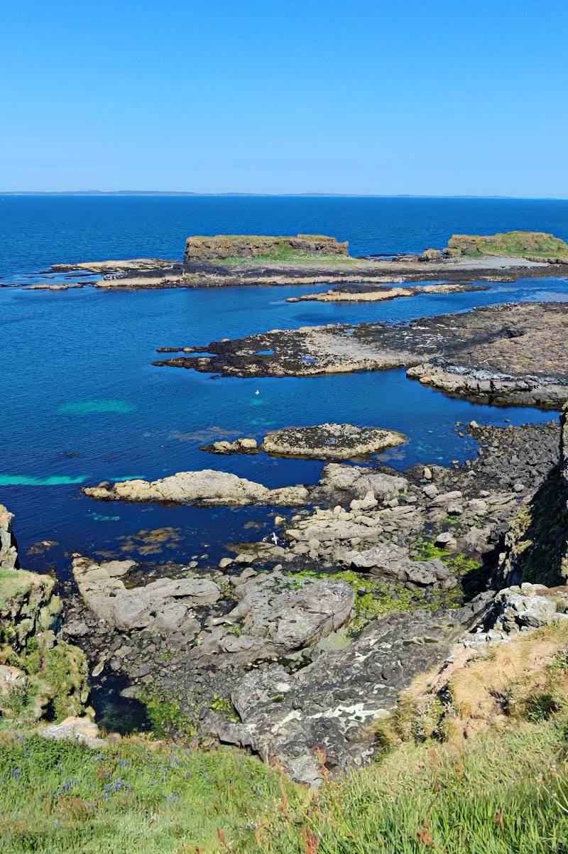
Place photographs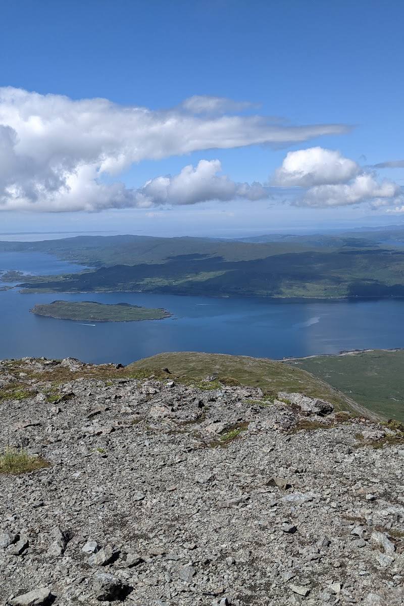
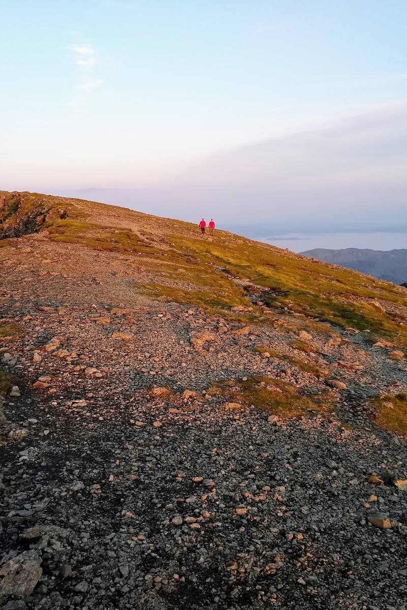
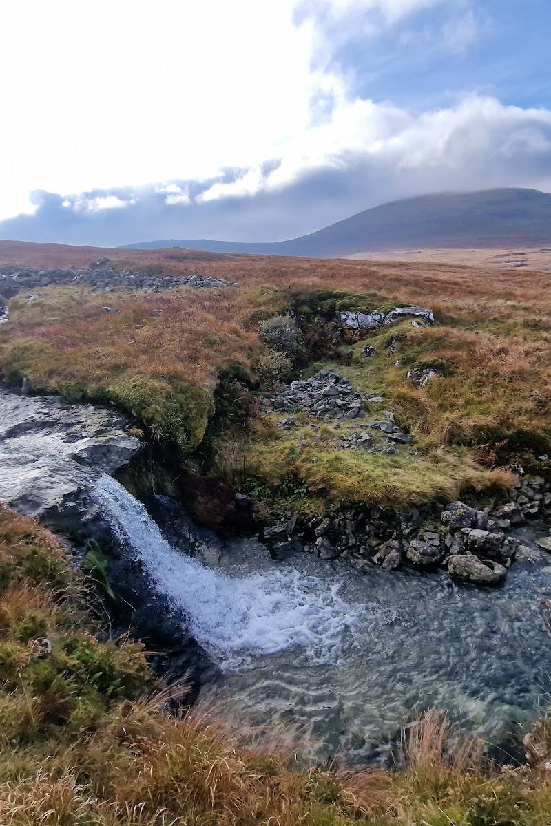
Keep exploring
Around Ben More
Within 50 km · approximate straight-line distances