Torridon, Achnasheen, Highland, Scotland
Beinn Alligin
route · Countryside walk
Place photograph
8.1
Wildland
Full day
Time
Free
Cost
Dramatic
Feel
Why it's Wildland
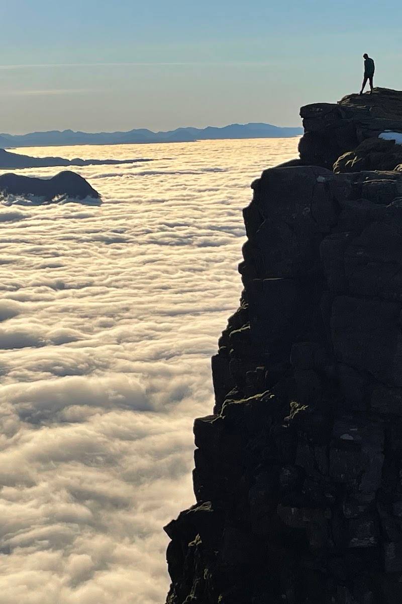
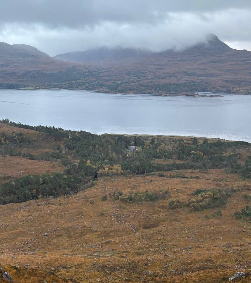
8.1Two Munros rise above Loch Torridon on a rugged circuit: Tom na Gruagaich first, then Sgùrr Mhòr, with the airy Horns of Alligin guarding the descent. The ridge opens to views across Torridon and, in clear conditions, towards Skye.
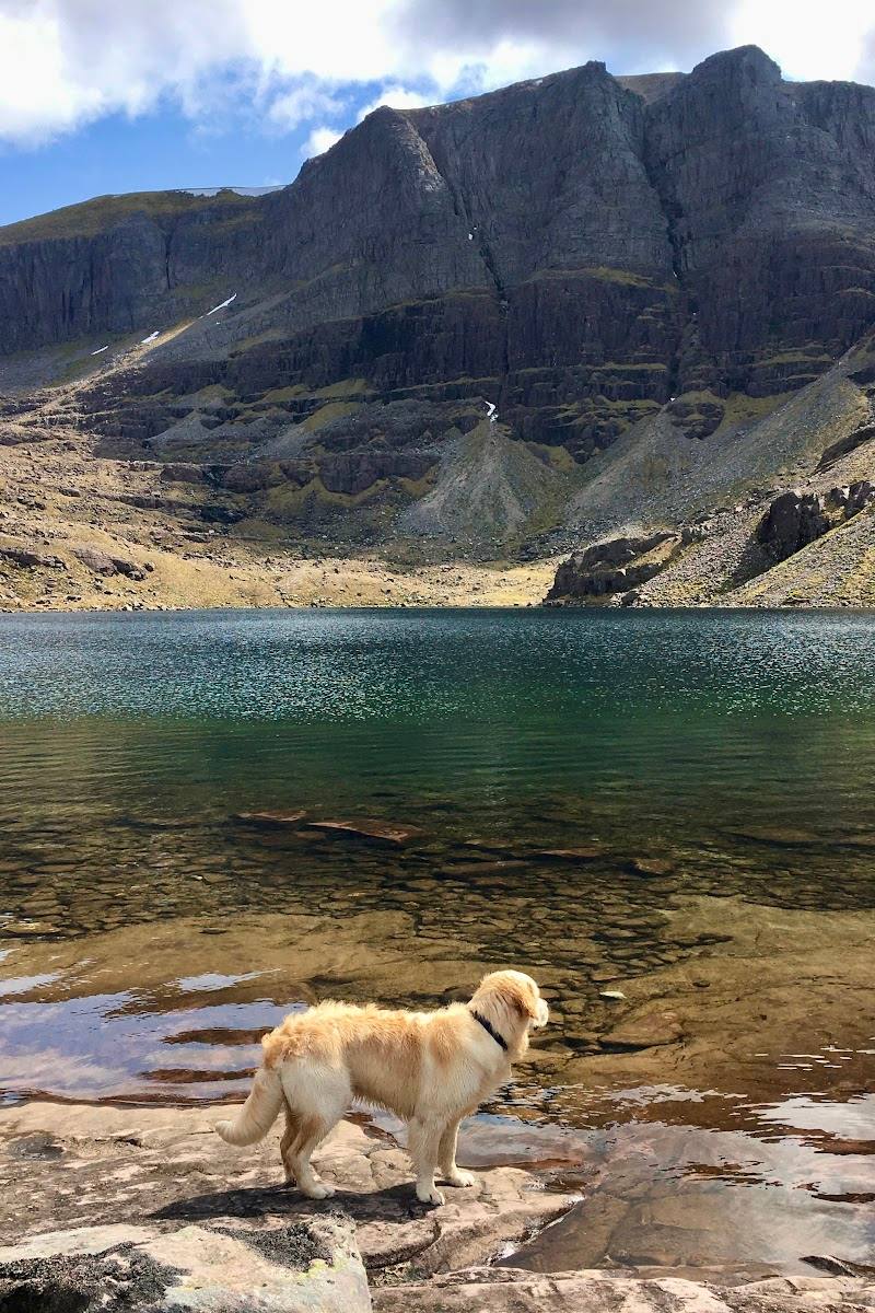
Beinn Alligin combines a high, rugged Torridon ridge with a genuinely hands-on mountain route: two Munro summits, a deep cleft in the mountain and the exposed scramble over the Horns. Its appeal is the landscape and the route itself, not a visitor attraction or summit viewpoint reached by an easy stroll.
Dramatic · Wild · Remote
Find your way
Open mapTorridon, Achnasheen, Highland, Scotland
Opening map…
Know this place a little better?
The experience
A strenuous high-level circuit over Tom na Gruagaich and Sgùrr Mhòr, with wide views, rocky ridge walking and an exposed scramble over the Horns of Alligin. This is a full mountain day, not a short viewpoint visit.
Things to do
Climb to Tom na Gruagaich
Ascend to the first Munro on the ridge. The route guide describes a sustained, steep climb and panoramic views over Loch Torridon and the surrounding peaks.
Part of a full-day route
Walk the ridge to Sgùrr Mhòr
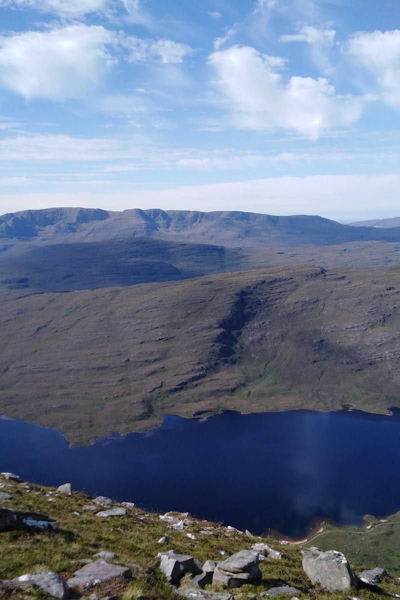
Continue along the rocky ridge to Beinn Alligin’s higher Munro summit, with views across the Torridon landscape and towards Skye in clear weather.
Part of a full-day route
Scramble the Horns of Alligin
The route’s exposed, technical section crosses the rocky Horns. The supplied guide describes scrambling and aerial sections; it also notes that alternatives may be more difficult than the direct traverse.
Part of a full-day route
Find the Eag Dhubh cleft
Look for the deep cleft cutting into Sgùrr Mhòr’s south face. The route description says it can be bypassed on the left.
Part of a full-day route
Make a day of it
Quick escape · About 7 hours; allow for conditions and breaks.
The full Beinn Alligin ridge circuit
- 01
Start near the bridge about 3 km west of Torridon village.
- 02
Climb to Tom na Gruagaich, then follow the ridge to Sgùrr Mhòr.
- 03
Pass the Eag Dhubh cleft and continue to the exposed Horns of Alligin scramble.
- 04
Descend steep, rocky ground to complete the circuit.
Folklore & legend
The name is rendered in supplied sources as “Jewelled Mountain” or “jewel mountain”. No further legend is established by the supplied research.
Hidden details
The Eag Dhubh, or Black Rift — A deep cleft cuts into Sgùrr Mhòr’s south-eastern side. The route guide describes bypassing it on the left.
The Horns are the route’s most technical section — The rocky ridge over the three Horns includes exposed scrambling. The supplied guide cautions that the alternatives are not necessarily easier.
When to go
June · July · August · September · Start early to make the most of the daylight and improve the chance of finding space in the small start-area car park. Proceed only if the forecast is suitable for exposed ridge terrain.
The supplied route guide recommends June to September, but notes that snow can persist on the higher sections until late June. Conditions, especially wind, matter more than the calendar.
Avoid poor weather, particularly strong winds, which the supplied route guide warns make the technical sections dangerous. Snow may persist on higher ground into late June. Check the mountain forecast and current conditions before setting out.
The route
- ascent
- 1,250 m
- surface
- Rugged, rocky mountain ground; some ridge passages require use of hands.
- distance
- 11.1 km
- duration
- About 7 hours
- difficulty
- Very hard; steep, rugged and exposed, with scrambling on the Horns of Alligin
- waymarking
- Not marked, according to the supplied route guide.
- route shape
- Loop
- start point
- Near the bridge about 3 km west of Torridon village; route guide coordinates 57.55836, -5.56420.
- parking start
- Free parking is described near the start by the bridge. The car park can fill in summer; arrive early and check current arrangements.
- shorter alternative
- The supplied guide describes an out-and-back option ascending Tom na Gruagaich and continuing along the ridge towards Sgùrr Mhòr, avoiding the Horns. It remains a demanding mountain outing; the guide does not provide separate distance or duration for this option.
- Tom na Gruagaich (922 m)
- Sgùrr Mhòr (986 m)
- The Eag Dhubh cleft
- Exposed scramble over the Horns of Alligin
- Views over Loch Torridon, surrounding peaks and, in clear weather, towards Skye
What to look for
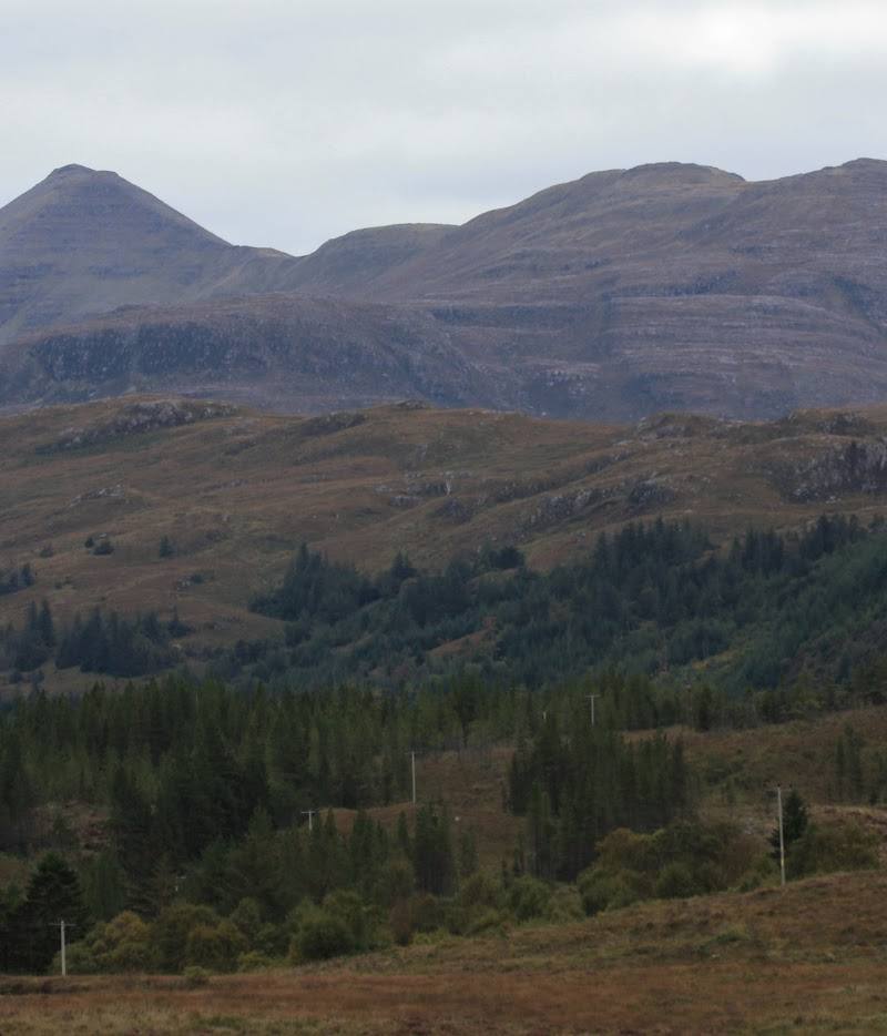
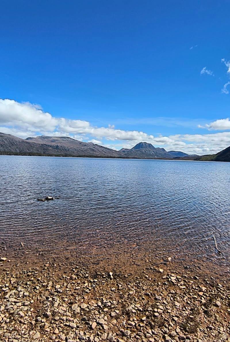
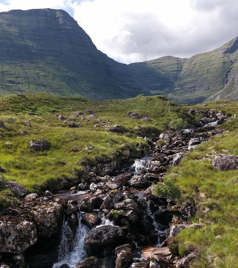
Look for the deep Eag Dhubh cleft on Sgùrr Mhòr’s south-eastern side, the distinctive rocky Horns of Alligin, and the changing views across Loch Torridon to neighbouring peaks and, in clear weather, Skye.
Best time to go
June to September, subject to conditions; snow may persist on higher ground into late June.
The supplied route guide recommends June to September and notes that snow can persist on higher ground until late June. Choose a settled forecast; strong winds make the exposed sections dangerous. Start early, particularly in summer, when the parking area can fill.
How long to spend
Full day
Perfect for
Walkers · Photographers
Route at a glance
Duration
Full day
Terrain
Hills, Remote countryside
Parking / start
The supplied route guide describes free parking near the start, by the bridge about 3 km west of Torridon village. It may fill in summer; arrive early and check current arrangements.
Before you go
Address
Google rating
Practical information
Opening & access
A demanding mountain route with exposed, rocky ridge sections and scrambling on the Horns of Alligin. The supplied route guide advises avoiding it in poor weather, especially strong winds. Check current access, conditions and parking before setting out; do not attempt the exposed sections unless suitably experienced and equipped. Access arrangements are unconfirmed. Check before visiting; do not enter private land or restricted structures.
Check before visiting
Parking
The supplied route guide describes free parking near the start, by the bridge about 3 km west of Torridon village. It may fill in summer; arrive early and check current arrangements.
Check before visiting
Toilets
Check before visiting
Check before visiting
Food & drink
Check before visiting
Check before visiting
Dogs
Check before visiting
Check before visiting
Accessibility
Very demanding mountain terrain, with steep ascents, rugged rock, exposed ridge sections and scrambling. Not suitable for visitors seeking an accessible or low-level walk. Check weather and route conditions before departure.
Check before visiting
Cost
Free
Water
None specified
Gallery
Place photographs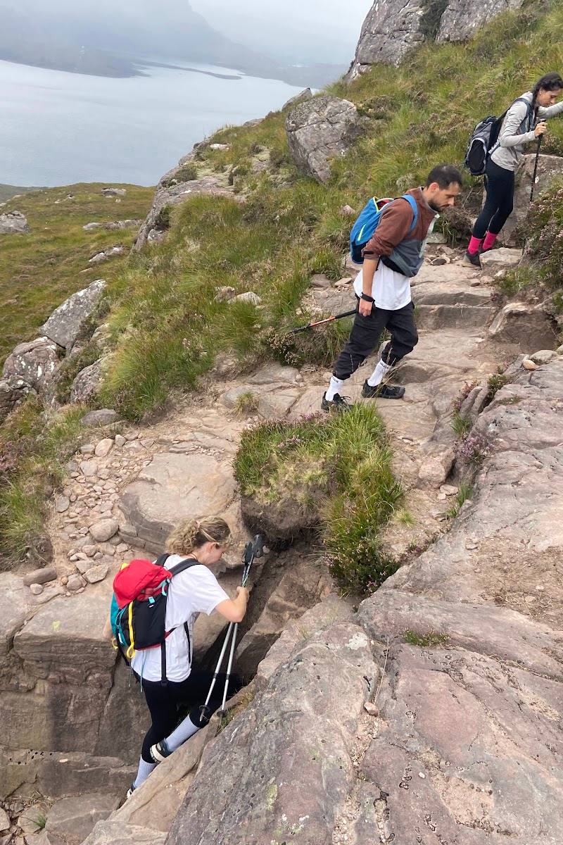
Keep exploring
Around Beinn Alligin
Within 50 km · approximate straight-line distances