Torridon, Wester Ross, Scottish Highlands
Beinn Alligin
route · Countryside walk
Place photograph
8.3
Wildland
Full day
Time
Check
Cost
Dramatic
Feel
Why it's Wildland
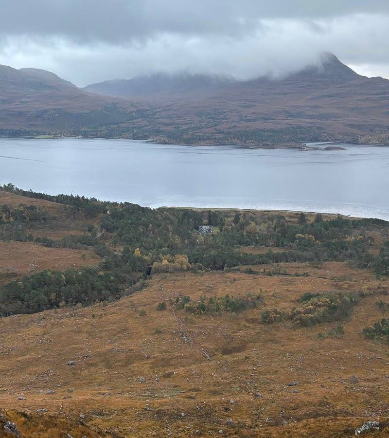
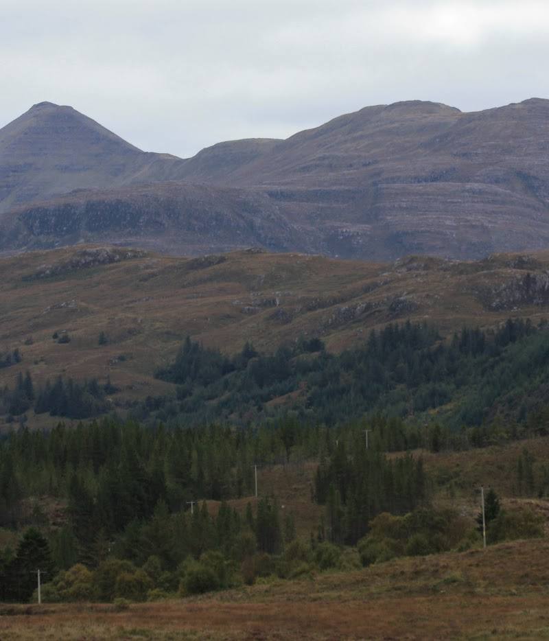
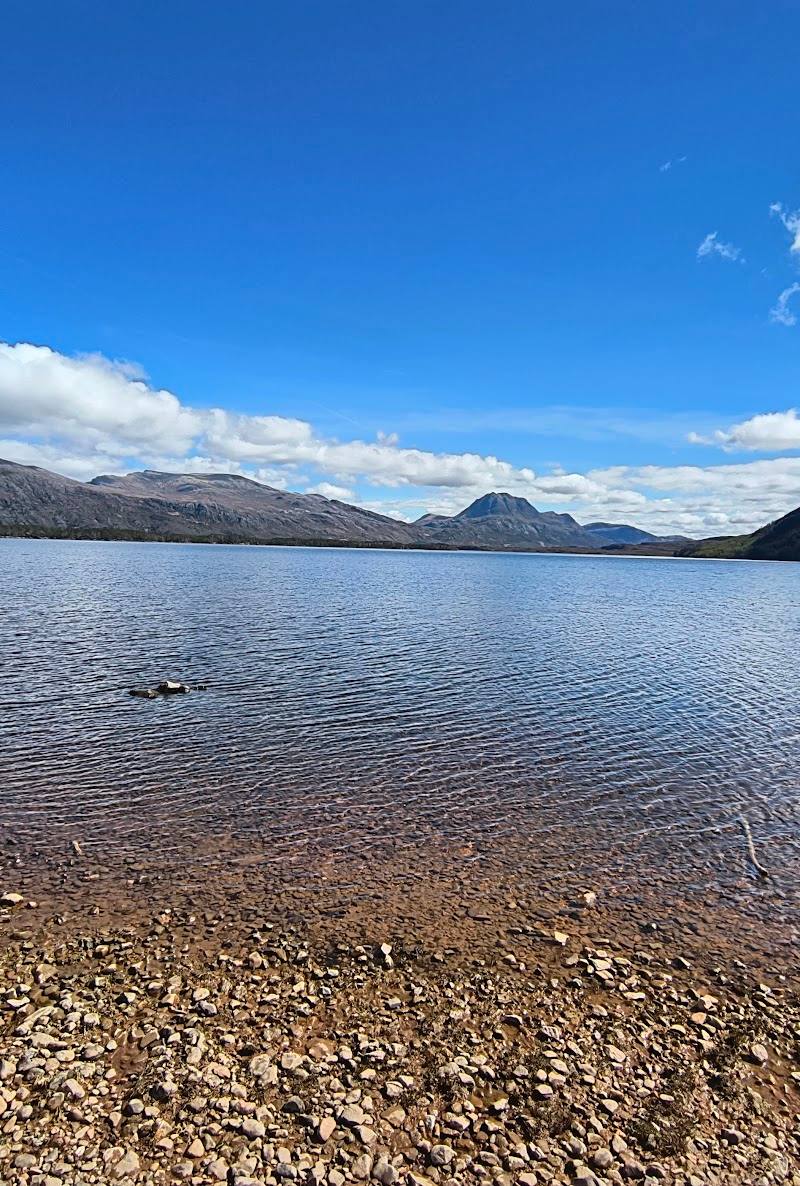
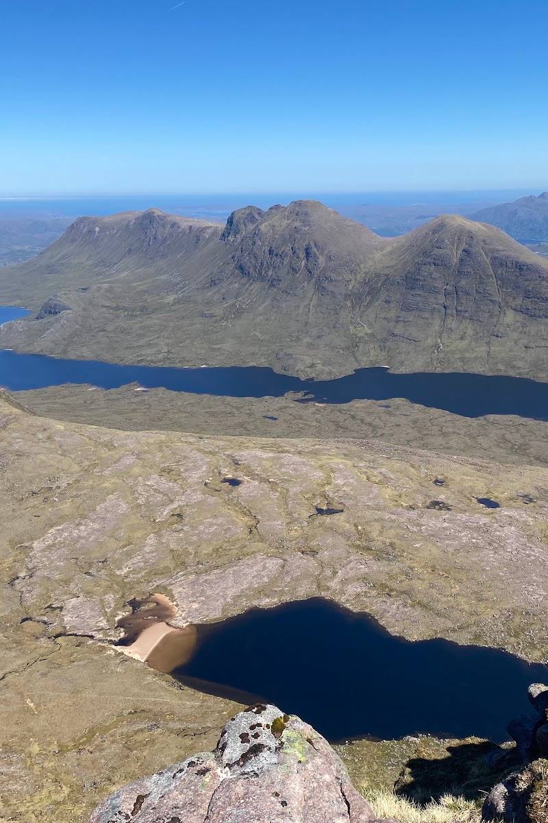
8.3Two Munros, a high Torridon ridge and the exposed scrambles of the Horns make Beinn Alligin a serious mountain day with views across Loch Torridon and, in clear weather, towards Skye.
Beinn Alligin earns its place through the combination of vast Torridon scenery and a genuinely absorbing high-level route: two Munro summits, a rocky ridge and the distinctive Horns. It is a demanding, exposed undertaking, so its appeal depends on suitable conditions and the skills to tackle the terrain.
Dramatic · Wild · Remote
Find your way
Open mapTorridon, Wester Ross, Scottish Highlands
Opening map…
Know this place a little better?
The experience
This is a serious mountain route, not a short visitor attraction. The classic circuit links Tom na Gruagaich and Sgùrr Mhòr, then crosses the three Horns of Alligin on rugged, exposed ground. On clear days the ridge opens views over Loch Torridon, neighbouring Torridon peaks and towards Skye. Choose a summit-and-return alternative if you want to avoid the Horns, and only go when conditions and experience are appropriate.
Things to do
Cross the Horns of Alligin
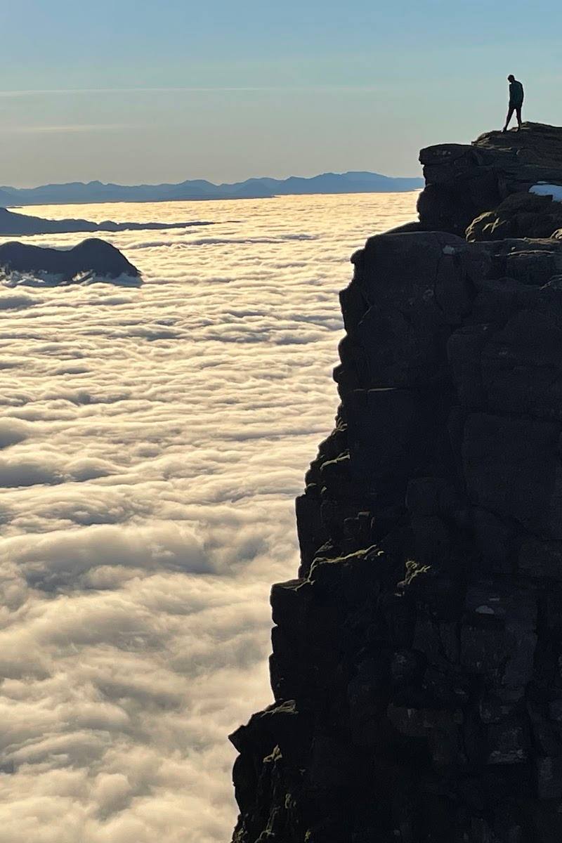
The three rocky Horns are the most technical and exposed section of the circuit, with scrambling passages. Do not treat them as an optional casual detour; assess conditions and your ability before attempting them.
Take in the ridge panoramas
Pause at safe points along the ridge for views over Loch Torridon and the surrounding peaks; Skye may be visible in clear weather.
Look into Eag Dhubh
The route description identifies this deep cleft on the south face near Sgùrr Mhòr. Keep to a safe line; the route source says it can be bypassed on the left.
Make a day of it
Quick escape · Full day
Reach the two Munros, avoiding the Horns
- 01
Start from the route start near the bridge west of Torridon village.
- 02
Climb to Tom na Gruagaich and continue along the ridge to Sgùrr Mhòr.
- 03
Return by the summit-and-return alternative described by the route source, avoiding the Horns section.
Half day · About 7 hours; allow a full day
Complete the Beinn Alligin circuit
- 01
Begin near the bridge west of Torridon village and climb towards the ridge.
- 02
Cross the two Munro summits, Tom na Gruagaich and Sgùrr Mhòr.
- 03
Continue over the three exposed Horns of Alligin, then descend steep, rocky ground to complete the circuit.
- 04
Only take on the Horns if your experience, equipment and the conditions are suitable.
Verified history
Beinn Alligin is glossed in supplied sources as “Jeweled Mountain” or “jewel mountain”. The available research supports the mountain’s route and landscape character, but does not establish a further dated history to recount.
Hidden details
Eag Dhubh — A deep cleft cuts into the south face near Sgùrr Mhòr. The route description says it can be bypassed on the left.
The Horns are the route’s crux — The three Horns are not simply a scenic ridge: the source describes exposed scrambling, with the second and third Horns among the more delicate passages.
When to go
June · July · August · September · Start early enough for a full mountain day; choose a suitable forecast and avoid strong winds or poor weather.
The route source recommends June to September and warns that snow can remain on higher ground until late June. Weather matters especially on the exposed scrambling sections.
The route source advises avoiding poor weather, particularly strong winds, because conditions make the technical sections dangerous. Check a current mountain forecast and conditions before setting out.
The route
- ascent
- 1,250 m
- surface
- Rugged, rocky mountain terrain
- distance
- 11.1 km
- duration
- About 7 hours
- difficulty
- Very hard; steep, rugged and exposed, with scrambling on the Horns
- waymarking
- Not marked, according to the route source
- route shape
- Loop
- start point
- Near the bridge, about 3 km west of Torridon village; route-source coordinates: 57.55836, -5.56420
- parking start
- The route source reports free parking at the start near the bridge; it can fill in summer. Check current arrangements.
- shorter alternative
- The route source describes an out-and-back option reaching Tom na Gruagaich and Sgùrr Mhòr while avoiding the Horns. It remains a substantial, demanding mountain route.
- Tom na Gruagaich and Sgùrr Mhòr, two Munro summits
- The exposed scrambling of the three Horns of Alligin
- Views over Loch Torridon, neighbouring peaks and, in clear weather, towards Skye
- Eag Dhubh, a deep cleft on the south face near Sgùrr Mhòr
What to look for
From the ridge, look for the deep cleft of Eag Dhubh near Sgùrr Mhòr, the three rocky Horns, and views across Loch Torridon towards Liathach and Beinn Eighe. The source says Skye may be visible on a clear day.
Best time to go
June–September, subject to conditions. Snow may persist on higher ground into late June.
The route source recommends June to September, noting that snow can persist on the higher sections until late June. Set out early enough to allow for a full mountain day, and do not attempt the exposed sections in poor weather or strong winds.
How long to spend
Full day
Perfect for
Walkers · Photographers
Route at a glance
Duration
Full day
Terrain
Hills, Valley
Parking / start
The route source reports free parking near the start by the bridge, about 3 km west of Torridon village; spaces can fill in summer. Check current arrangements before travelling.
Before you go
Address
Google rating
Practical information
Opening & access
A demanding mountain route starting near the bridge west of Torridon village. The route source reports parking at the start; check current access and conditions before setting out. This is exposed, rugged hill terrain, not a casual walk. Access arrangements are unconfirmed. Check before visiting; do not enter private land or restricted structures.
Check before visiting
Parking
The route source reports free parking near the start by the bridge, about 3 km west of Torridon village; spaces can fill in summer. Check current arrangements before travelling.
Check before visiting
Toilets
Check before visiting
Check before visiting
Food & drink
Check before visiting
Check before visiting
Dogs
Check before visiting
Check before visiting
Accessibility
Not suitable for an ordinary low-level stroll. The route is long, steep, rocky and exposed, with scrambling on the Horns. The source describes an alternative that reaches both summits while avoiding the trickiest Horns section, but it remains a substantial mountain walk.
Cost
Check before visiting
Check before visiting
Water
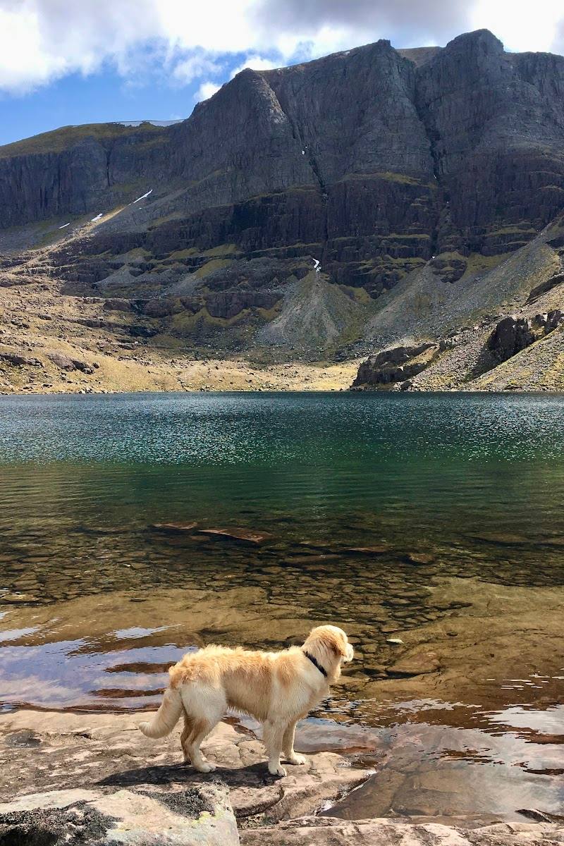
Loch
Gallery
Place photographs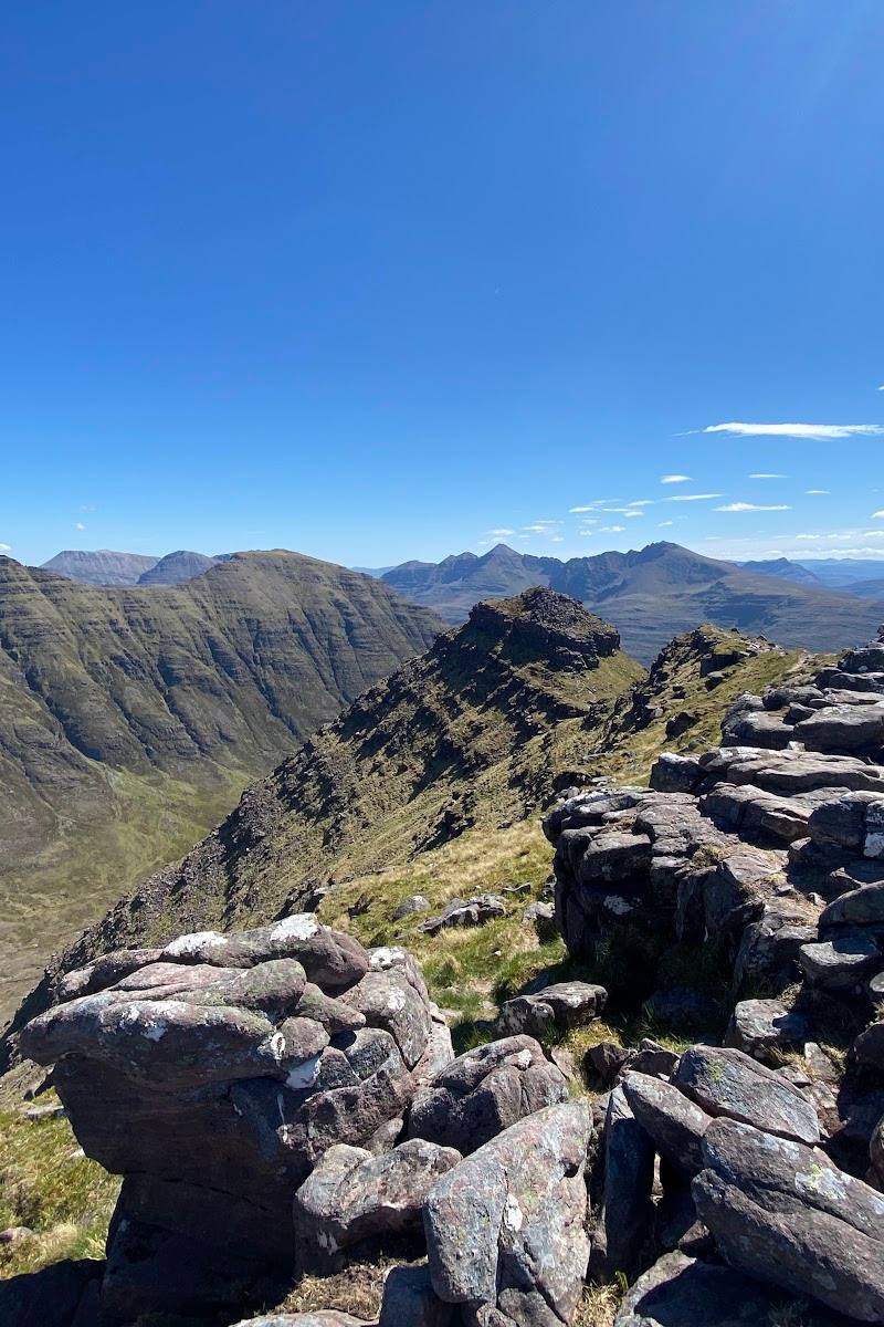
Keep exploring
Around Beinn Alligin
Within 50 km · approximate straight-line distances