5.2
Wildland
1–2 hours
Time
Check
Cost
Peaceful
Feel
Why it's Wildland
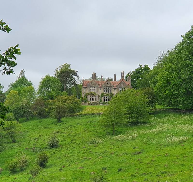
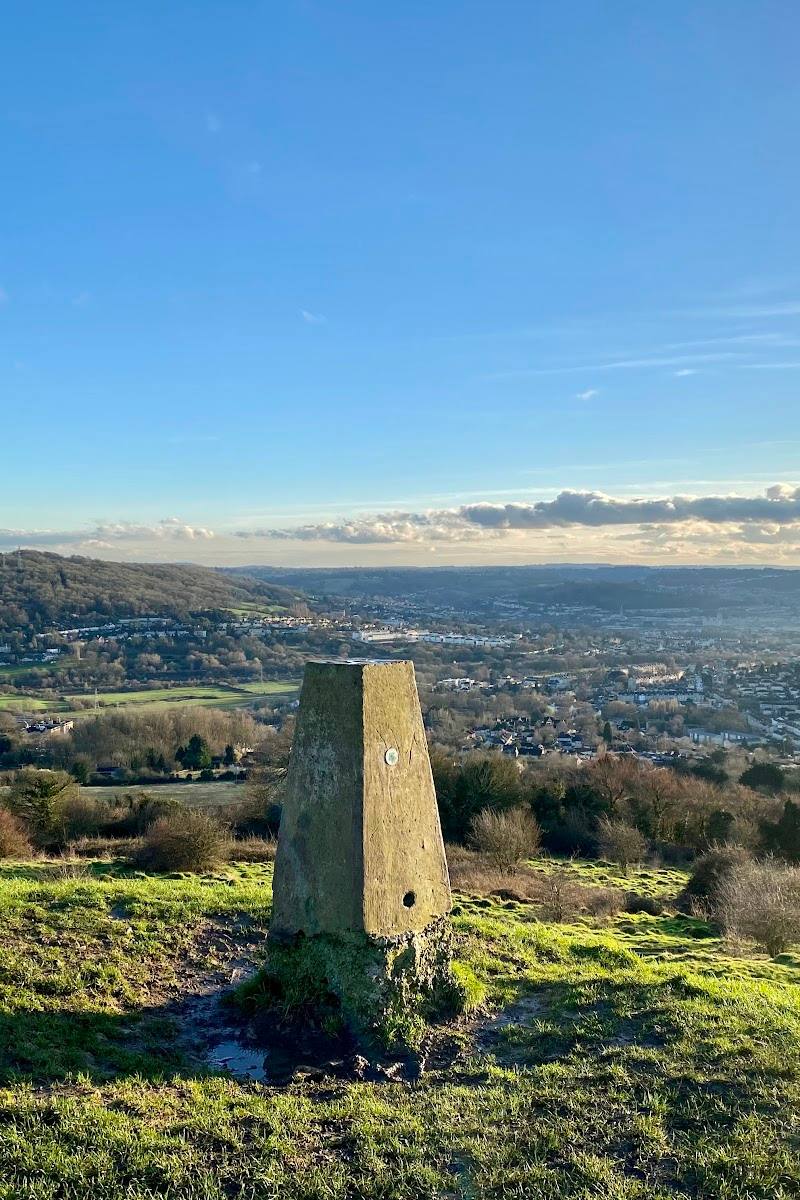
5.2A green, open stretch on Bath’s eastern edge, where the countryside meets the city. Bathwick Meadow is part of a wider walk through fields and woodland, with views back towards Bath and a curious Georgian folly nearby.
The appeal is the contrast: open fields and rural paths sit close to Bath’s historic skyline. It works as a short countryside pause or as one part of a longer walk through the hills and woods above the city.
Peaceful · Big-sky
Find your way
Open mapBathwick Hill, Bath, Somerset
Opening map…
Know this place a little better?
The experience
Enjoy the meadow as a brief countryside walk, or follow the National Trust’s longer Bath Skyline route for a varied circuit through fields and woodland, with views over Bath and historic features along the way.
Things to do
Walk the meadow paths
Take a short walk through Bathwick Meadow and enjoy the open countryside and views towards Bath. Check path access and conditions before you go.
Around 1–2 hours
Look for Sham Castle on the wider route
The National Trust route includes a 200-metre detour to Sham Castle, built in 1762 for Ralph Allen. The Trust notes that its original purpose is uncertain.
Spot traces of Bath’s stone industry
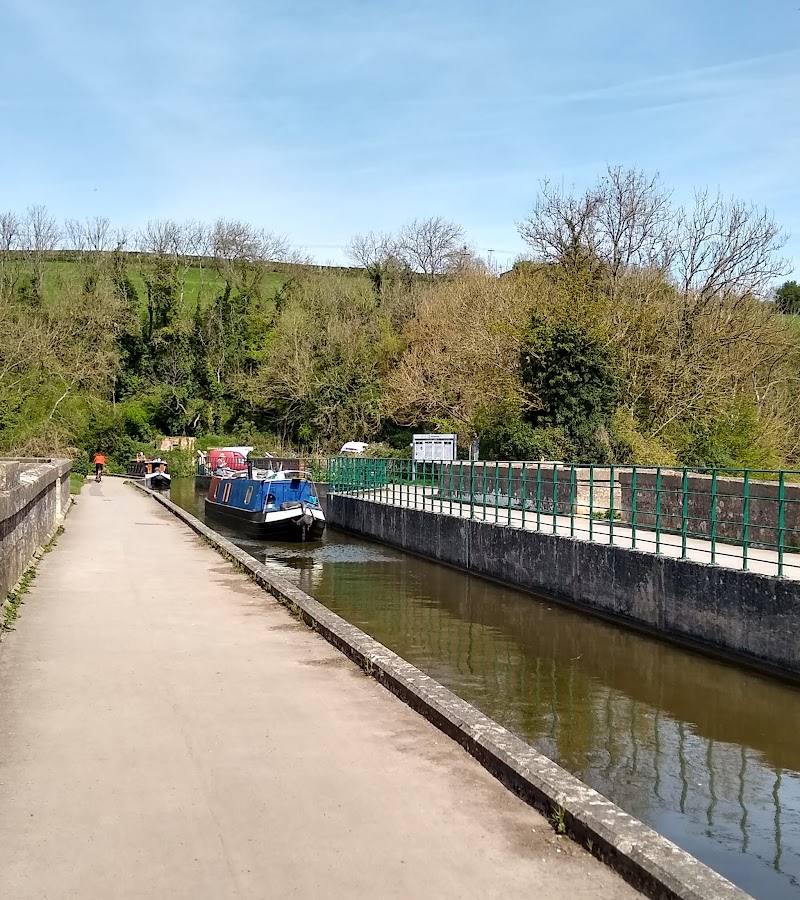
On the wider Skyline route, look for spring-water markers and the remains of a Georgian tramway once used to move stone from local quarries towards the canal.
Make a day of it
Quick escape · Around 1–2 hours
A short meadow wander
- 01
Start at Bathwick Hill at Cleveland Walk.
- 02
Walk the meadow paths and pause for views across Bath.
- 03
Return the way you came; check the path and access conditions before setting out.
Half day · 3 hours 30 minutes–4 hours
Follow the Bath Skyline circuit
- 01
Begin at Bathwick Hill at Cleveland Walk.
- 02
Follow the National Trust route clockwise through fields and woodland.
- 03
Detour to Sham Castle as described in the route stages, then continue the circuit.
Verified history
Bathwick Meadow sits within the wider Bath Skyline landscape. The National Trust route passes Sham Castle, built in 1762 for Ralph Allen, a figure associated with Bath’s Georgian revival. The route also passes evidence of local quarrying and a Georgian tramway used to transport stone towards the canal. The Trust says the castle’s original purpose is uncertain.
Hidden details
A Georgian tramway in the woods — Rows of stones on the wider Skyline route mark the remains of an 18th-century tramway used to carry quarry stone towards the canal.
Why was Sham Castle built? — The National Trust notes two possible explanations for the 1762 folly: improving the view from Ralph Allen’s home or showing off the stone from his quarries. The original purpose is not known.
When to go
April · May · June · Weekday mornings are suggested by the source row for a quieter visit.
The source row describes wildflowers in spring and summer. The National Trust describes the wider Skyline walk as offering views throughout the year.
Paths may be muddy after rain. The wider Skyline route includes steep hills, steps and uneven or rocky sections; sturdy footwear is advised.
The route
- stiles
- A stile is noted on the route.
- surface
- Varied: roads, surfaced paths, steep hills, rocky uneven sections and steps
- distance
- 6 miles (9.6 km) for the full Bath Skyline circuit
- duration
- 3 hours 30 minutes–4 hours
- difficulty
- Moderate
- waymarking
- Follow the National Trust route clockwise; check directions as you go.
- route shape
- Circular
- start point
- Bathwick Hill at Cleveland Walk, ST76046 64704
- parking start
- No National Trust car parks on the Skyline; the National Trust notes frequent bus services from the city centre.
- shorter alternative
- A short walk through Bathwick Meadow is described in the source material, but no measured distance or formal short-route directions are supplied.
- Views over Bath
- Bathwick fields and woodland
- Sham Castle detour
- Remains of historic quarrying and a Georgian tramway
Worth pairing with
Bath Skyline walk
Extend a meadow visit into the National Trust’s 6-mile circular route through fields and woodland, with views over Bath and historic features along the way.
What to look for
- 01
Look for open views across Bath and the surrounding hills. On the wider National Trust route, watch for Sham Castle, spring-water markers and the remains of a Georgian-era tramway
- 02
these are route-side features, not all within the meadow itself.
The story
Industry
Best time to go
Late spring and early summer for the meadow’s reported wildflowers; the Bath Skyline walk is described by the National Trust as an all-year route.
Late spring or early summer is suggested for wildflowers. For a quieter visit, the source row recommends weekday mornings; conditions can be muddy after rain.
How long to spend
1–2 hours
Perfect for
Walkers · Photographers · History lovers
Practical information
Opening & access
Bathwick Meadow lies on the Bath Skyline walking area. The National Trust gives the Bathwick Hill at Cleveland Walk entrance as a start point. Check current route and access information before visiting.
Check before visiting
Parking
The National Trust says there are no National Trust car parks on the Skyline. Check local parking options before setting out.
Check before visiting
Toilets
Check before visiting.
Check before visiting
Food & drink
The National Trust notes refreshment stops nearby, but none are National Trust facilities. Check what is currently open.
Check before visiting
Dogs
Dogs are welcome on the National Trust Skyline walk. Keep them under close effective control and on leads around grazing animals, farmland and in the Woodland Play Area.
Accessibility
The National Trust describes the wider Skyline route as having steep hills, steps, uneven and rocky sections, gates and a stile. Do not assume the full route is wheelchair or pushchair accessible; check the route details before visiting.
Check before visiting
Cost
Check before visiting
Check before visiting
Water
Canal nearby; no water activity is verified for Bathwick Meadow.
Gallery
Place photographsKeep exploring
Around Bathwick Meadow
Within 50 km · approximate straight-line distances