Near Stokenchurch, Oxfordshire, on the Chiltern escarpment
Aston Rowant National Nature Reserve
Mixed-habitat reserve
Source image
6.0
Wildland
1–2 hours
Time
Check
Cost
Dramatic
Feel
Why it's Wildland
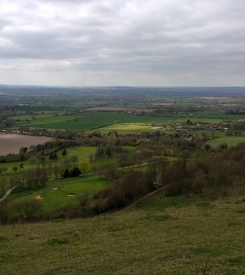
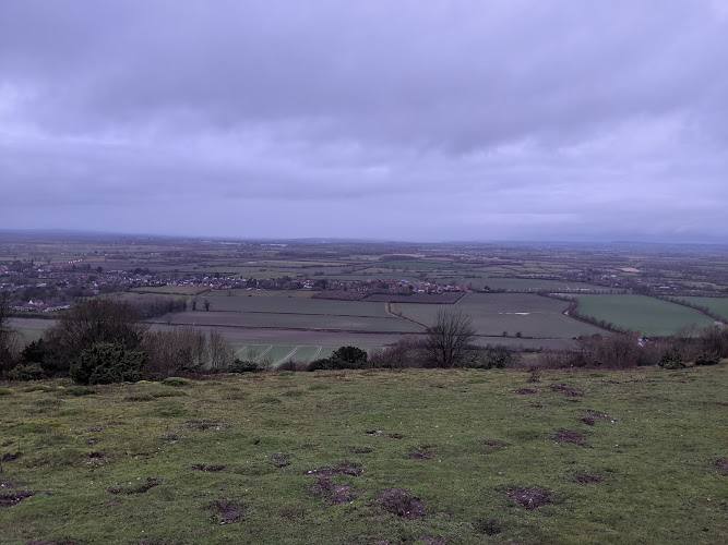
6.0Chalk grassland, juniper scrub and woodland meet on the Chiltern escarpment, with broad views over the Oxford plain. The reserve’s character shifts between open downland and shaded trees, and the M40 is a reminder that this wild-feeling landscape sits close to modern travel routes.
A nature reserve with more than one landscape to explore: flower-rich chalk grassland, juniper scrub and woodland share the slopes above the Oxford plain. The views and habitat variety give a short visit real substance, though traffic from the nearby M40 can intrude on the quiet.
Dramatic · Wild · Peaceful
Find your way
Open mapNear Stokenchurch, Oxfordshire, on the Chiltern escarpment
Opening map…
Know this place a little better?
The experience
Explore a varied chalk landscape on foot: move between open grassland and woodland, pause for the views, and look for butterflies and birds. Check access and route conditions before travelling; paths can be steep or muddy.
Things to do
Walk between chalk grassland and woodland
Explore the reserve’s changing habitats, from open flower-rich downland to woodland and juniper scrub. Follow current access guidance rather than relying on an old route description.
1–3 hours
Look for red kites and butterflies
Watch the sky and flower-rich grassland for wildlife. Red kites and butterflies are reported by route and visitor sources; sightings are never guaranteed.
Take in the Oxford plain views
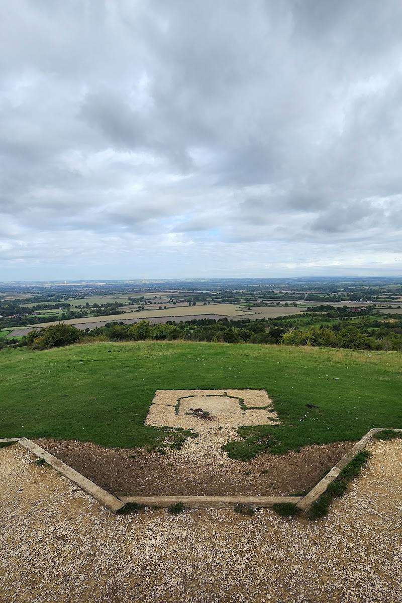
Pause on the escarpment for the wide views across the Oxford plain. A clear day gives the best chance of seeing the landscape at its full extent.
Make a day of it
Quick escape · Around 1 hour
Escarpment and woodland sampler
- 01
Check current access and choose a permitted reserve path.
- 02
Walk a short section that combines open downland with woodland.
- 03
Pause at a clear viewpoint and scan for red kites.
Half day · Around 2–3 hours
A longer reserve walk
- 01
Use a current, waymarked route and allow time for the reserve’s steep or uneven sections.
- 02
Explore the mix of chalk grassland, scrub and woodland.
- 03
Stop to look for flowers, butterflies and birds, and take in the views over the Oxford plain.
Verified history
The supplied sources support the reserve’s setting within a landscape crossed by the Ridgeway, described in a local walk guide as part of a historic route corridor. They do not establish a specific historical event or date at the reserve itself.
Hidden details
Ant hills in the chalk grassland — A nearby walk guide highlights large ant hills on Shirburn Hill’s chalk grassland, some described as more than a century old. Treat this as a feature of the wider walk, not a confirmed pinpoint within the reserve.
When to go
April · May · June · July · October · Choose a clear day for the views. One visitor account describes evening light among woodland flowers, but peak flowering varies by year.
Route sources describe chalk grassland flowers and butterflies in summer, and woodland colour in autumn. Visitor accounts report bluebells in May, with timing dependent on the season.
Paths may be muddy after rain; some routes include steep, slippery sections and steps. Wear footwear suitable for uneven ground and check conditions before setting out.
The route
- ascent
- 88 m for the AllTrails circular route
- stiles
- Check before visiting
- surface
- Reported mix includes natural, gravel and grass surfaces; conditions may be muddy
- distance
- 2.7 km for the AllTrails circular route
- duration
- 0.5–1 hour for the AllTrails circular route
- difficulty
- Moderate (AllTrails classification)
- waymarking
- Visitor accounts describe waymarked routes; check current signage and route conditions
- route shape
- Loop
- start point
- Check current route information; the supplied Google pin is not an entrance or trailhead
- parking start
- Check before visiting; the supplied map pin is not a parking location
- Views across the Oxford plain
- Chalk grassland, juniper scrub and woodland
- Wildflowers, butterflies and birds
Worth pairing with
Watlington
A walk guide identifies pubs and a café in Watlington as possible food stops. Check opening and current availability before travelling.
The Ridgeway
The Ridgeway passes through the wider landscape and is described by a local walking guide as part of a historic route corridor. Consider it as an extension only after checking a current map and access information.
What to look for
Look across the flower-rich chalk grassland for butterflies, notice the contrast between open downland and woodland, and scan the sky for red kites. The nearby Shirburn Hill walk description also notes conspicuous ant hills in the chalk grassland.
The story
Chalk downland and the nearby Ridgeway historic route
Best time to go
Spring to summer for chalk grassland flowers and butterflies; autumn for woodland colour. Exact flowering and wildlife seasons vary.
Spring and summer bring the strongest prospects for flowers and butterflies in the chalk grassland. Choose a clear day for views across the Oxford plain; autumn offers colour in the woodland.
How long to spend
1–2 hours
Perfect for
Walkers · Wildlife lovers · Photographers
Before you go
Address
Google rating
Practical information
Opening & access
Visitor accounts describe walks at the reserve, but current access arrangements are not confirmed. Check before visiting and follow reserve signage. The supplied map pin marks the reserve, not an entrance or parking place. Access arrangements are unconfirmed. Check before visiting; do not enter private land or restricted structures.
Check before visiting
Parking
Some visitor accounts mention parking, but current locations, availability and charges are not confirmed. Check before visiting; the supplied map pin is not a parking point.
Check before visiting
Toilets
Check before visiting
Check before visiting
Food & drink
Check before visiting
Check before visiting
Dogs
Check before visiting. One visitor account mentions livestock on hillside walks and advises keeping dogs under control.
Check before visiting
Accessibility
A route account describes steep slopes, steps and potentially muddy paths; some terrain may be difficult to manage. Check current route and access information before setting out.
Check before visiting
Cost
Check before visiting
Check before visiting
Gallery
Place photographsKeep exploring
Around Aston Rowant National Nature Reserve
Within 50 km · approximate straight-line distances
 Place photograph7.0
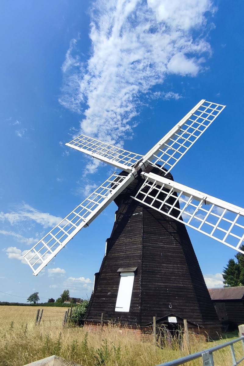
Lacey Green Windmill
Windmill Farm, Pink Road, Lacey Green, Princes Risborough HP27 0PG
10.0 km away
 Place photograph5.9
Brush Hill & Whiteleaf Nature Reserve Walk
Near Princes Risborough, Buckinghamshire
11.6 km away
 Place photograph7.1
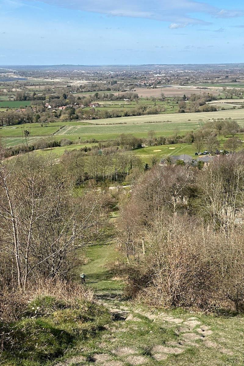
Coombe Hill and Boer War Memorial
Coombe Hill, near Wendover, Buckinghamshire
15.7 km away