5.6
Wildland
1–2 hours
Time
Check
Cost
Peaceful
Feel
Why it's Wildland
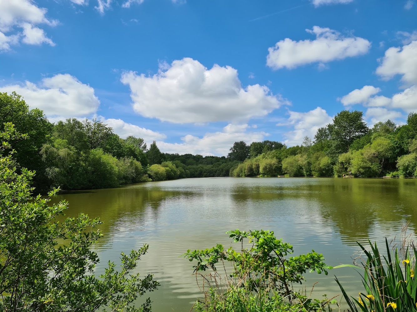
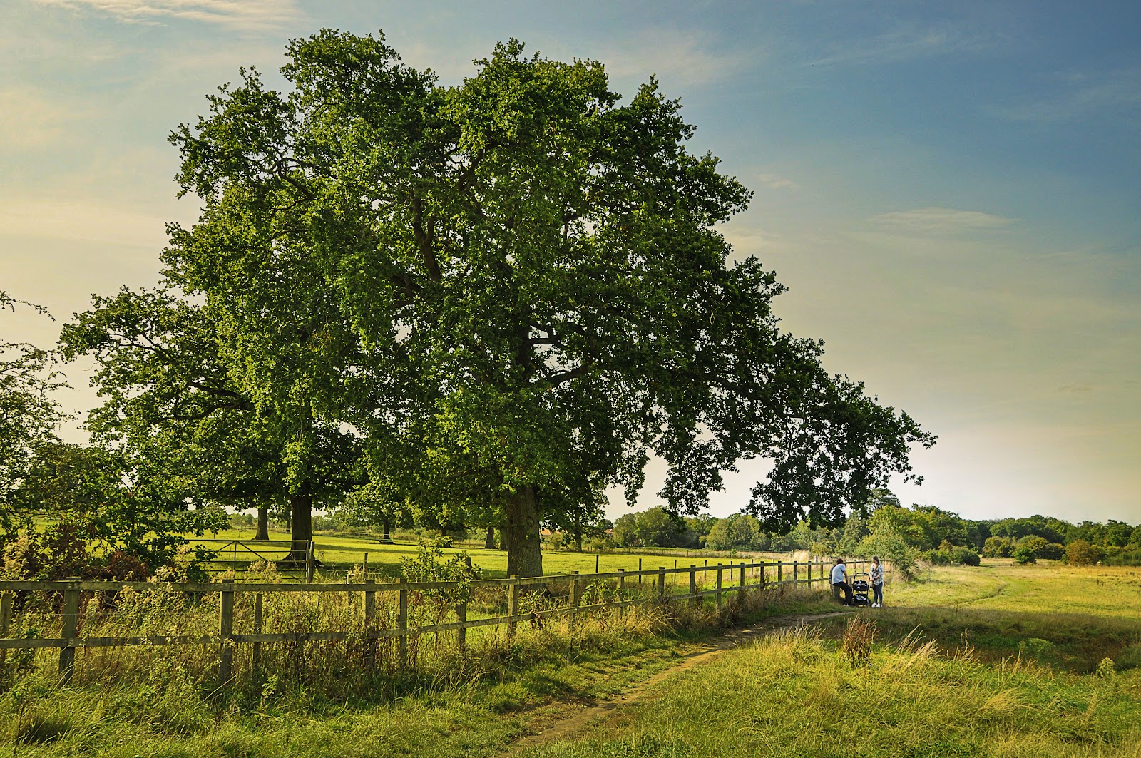
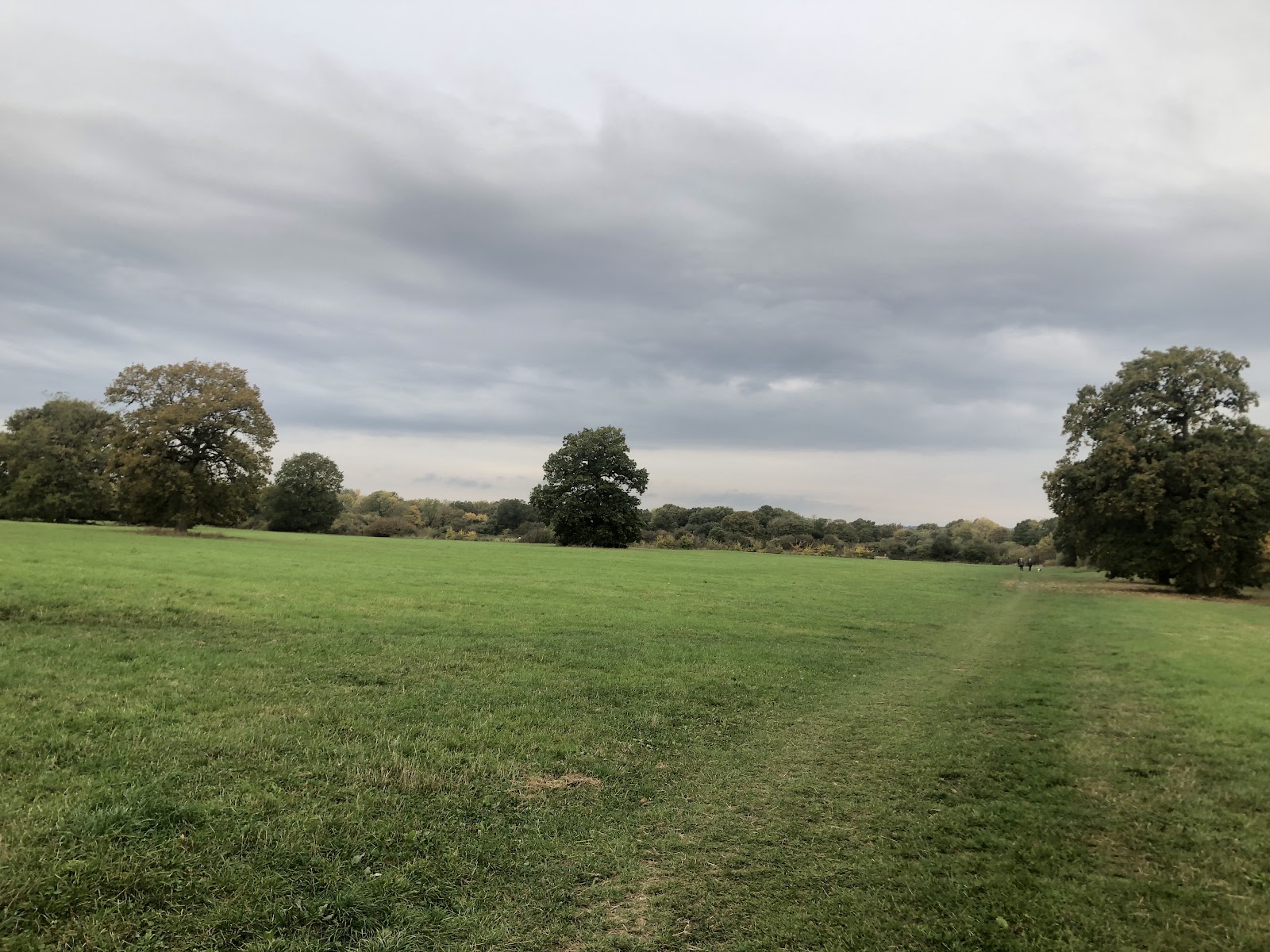
5.6Former agricultural land now shaped by damp grassland, seasonal ponds, wet ditches, hedgerows and scattered oak trees.
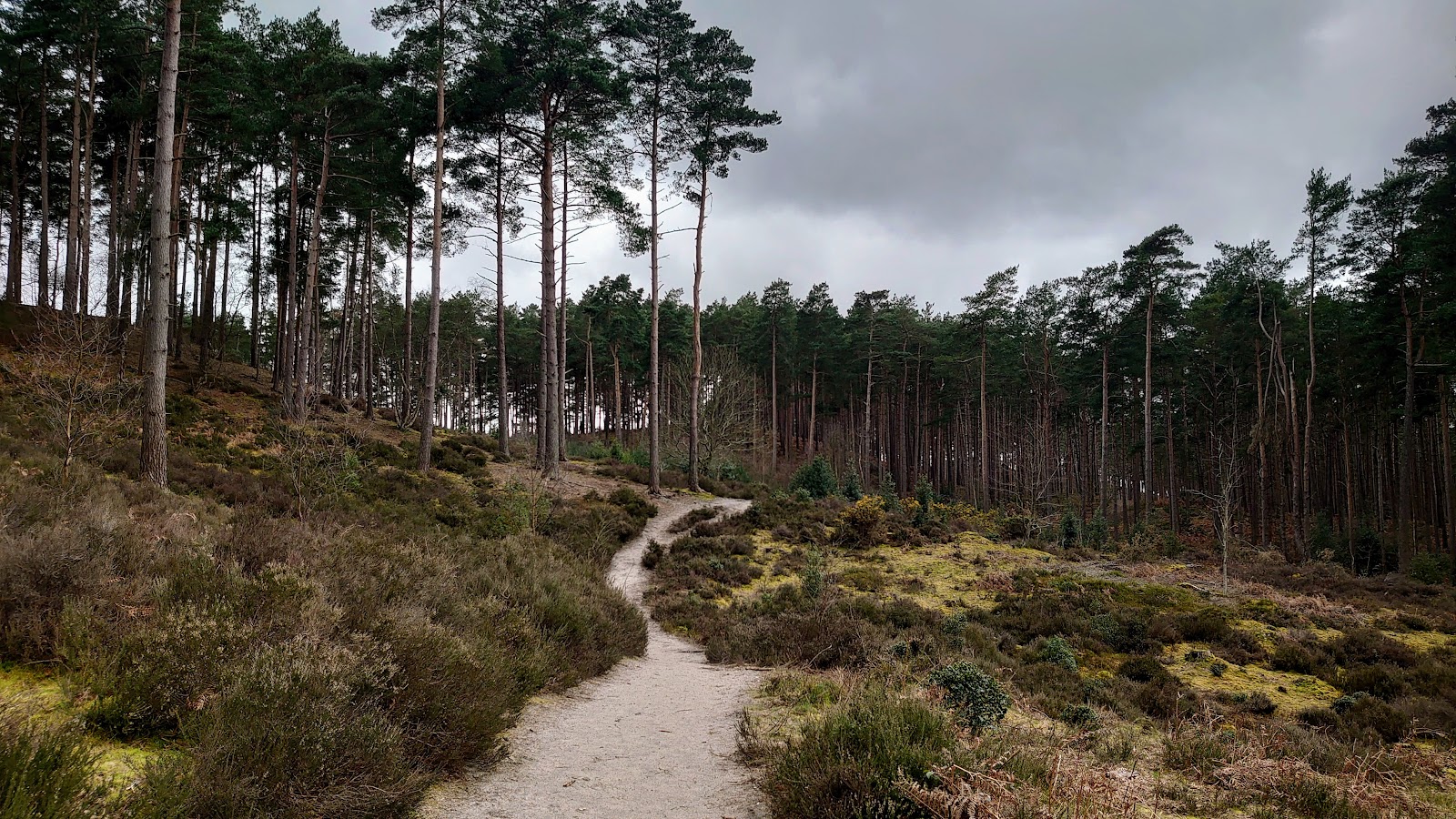
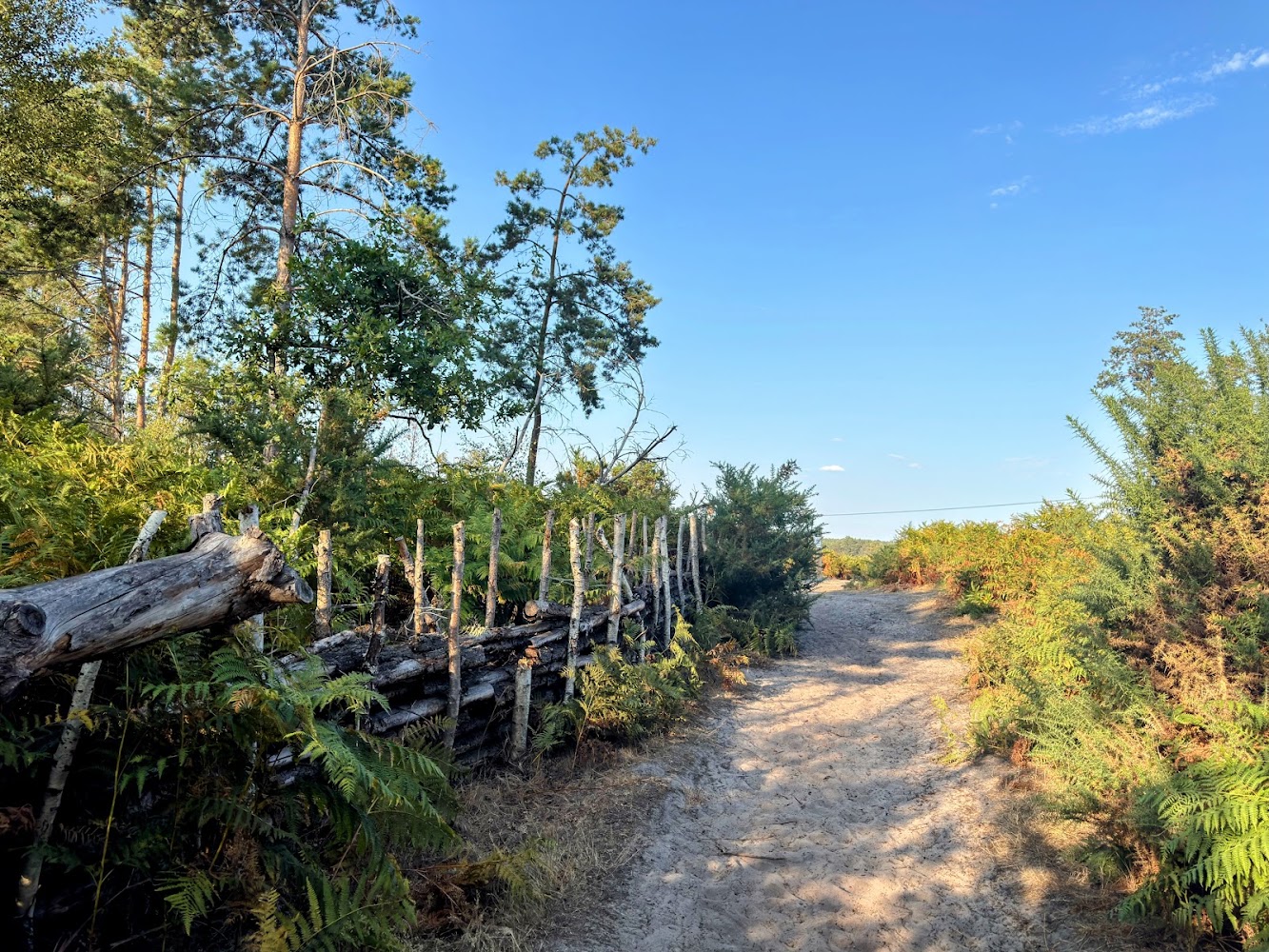
Ash Green Meadows is a modest but varied countryside walk: its damp grassland, seasonal ponds and wooded field edges create more ecological interest than a simple sweep of open fields. Several footpaths offer short or circular walks, with wildlife spotting along the way.
Peaceful · Rural
Find your way
Open mapAsh, Surrey
Opening map…
Know this place a little better?
The experience
Choose a short or circular footpath and take time to notice how the site changes between open grassland, wooded field edges, ponds and wet ditches. The supplied sources do not establish a named route or exact walking time.
Things to do
Follow a short or circular footpath
The site has several footpaths for short walks and circular routes. No specific route map or distance is supplied.
Look for damp-grassland plants
The Land Trust identifies Sneezewort among the damp-grassland species found at Ash Green Meadows.
Explore the seasonal ponds and wet ditches
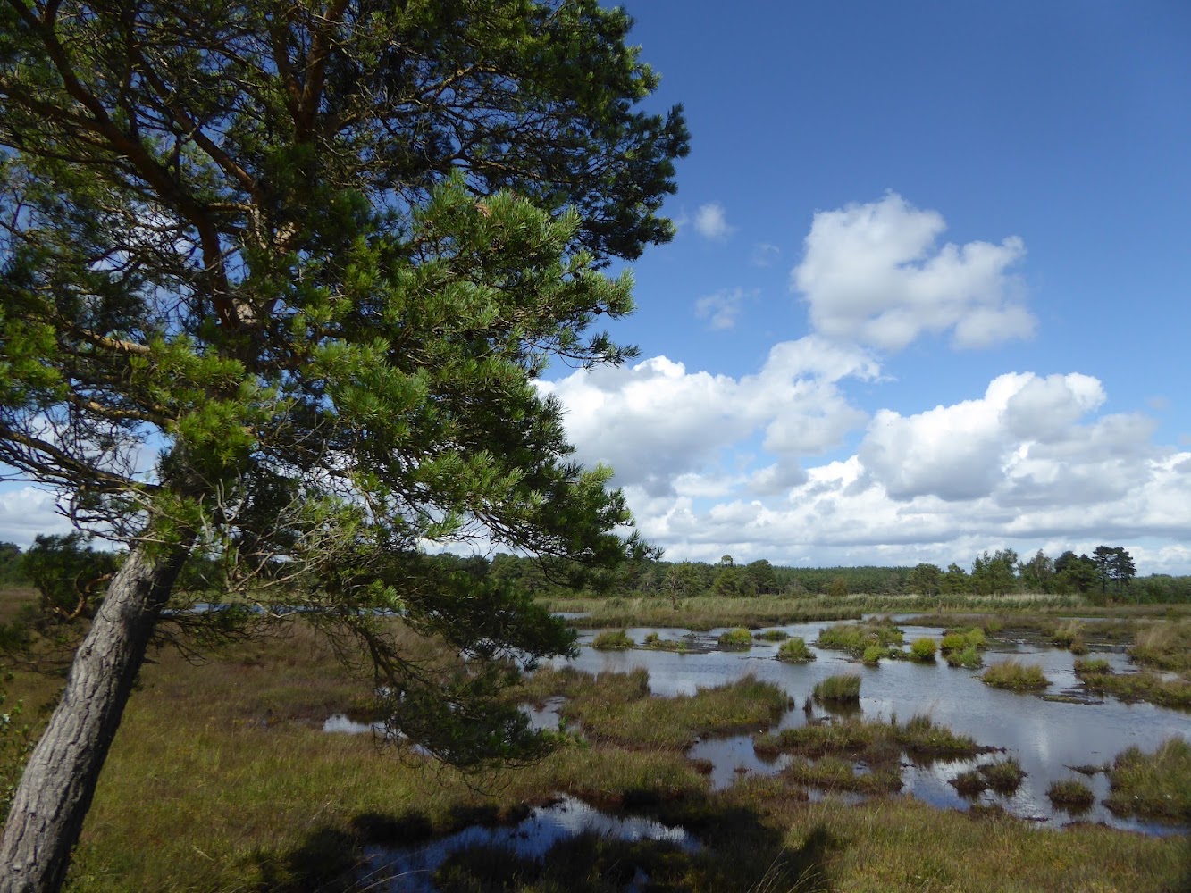
Ephemeral ponds and wet ditches add ecological interest to the site; their water levels and appearance may vary seasonally.
Take in the scattered-oak parkland character
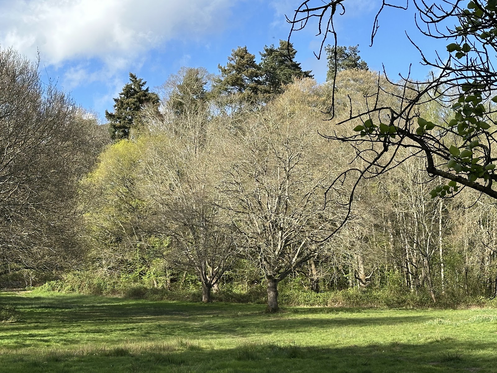
The eastern fields include scattered oak trees that give this part of the site a pleasant parkland character.
Make a day of it
Quick escape · Under 1 hour
A short meadow-and-pond wander
- 01
Start from the free car park at the end of South Lane.
- 02
Choose a short footpath through the meadows.
- 03
Look out for damp-grassland plants, seasonal ponds and wet ditches.
Half day · Half day
Make a half day of the meadows
- 01
Begin at the South Lane car park.
- 02
Follow a circular footpath, or combine available paths for a longer wander.
- 03
Take time to explore the different character of the damp grassland, improved fields, wooded strips and seasonal ponds.
- 04
Use the accessible disused railway byway along the northern boundary as part of your visit if its current condition suits.
Verified history
The Land Trust describes the site as former agricultural land. The supplied research does not verify the source row’s claim that it was medieval pasture, so that detail is not included as fact.
Hidden details
Sneezewort in the damp grassland — The Land Trust names Sneezewort (Achillea ptarmica) as one of the damp-grassland species found at the site.
When to go
· No specific time of day is supported by the supplied research.
The site includes damp grassland, seasonal ponds and wet ditches, but the supplied source does not identify peak months or seasonal wildlife timings.
Check conditions before setting out; path surfaces and current conditions are not detailed in the supplied research.
What to look for
Look for Sneezewort in the damp grassland, scattered oaks in the eastern fields, seasonal ponds and wet ditches.
Best time to go
Spring and summer for grassland plants and wildlife; conditions and seasonal interest vary.
Visit in spring or summer to explore the grassland and look for seasonal plant and wildlife activity; no exact peak dates are verified.
How long to spend
1–2 hours
Perfect for
Walkers · Wildlife lovers · Families
Practical information
Opening & access
The Land Trust lists the site as open access. A free car park is located at the end of South Lane.
Parking
Free car park at the end of South Lane; postcode GU12 6NJ. Disabled parking is listed by The Land Trust.
Toilets
Check before visiting
Check before visiting
Food & drink
Check before visiting
Check before visiting
Dogs
Check before visiting; the source row marks the site as dog friendly, but current rules are not confirmed by the supplied research.
Check before visiting
Accessibility
The Land Trust says the disused railway byway along the northern boundary is accessible from the car park, which includes disabled parking. Check current path conditions and accessibility details before visiting.
Check before visiting
Cost
Check before visiting
Check before visiting
Water
Seasonal ponds and wet ditches
Gallery
Place photographs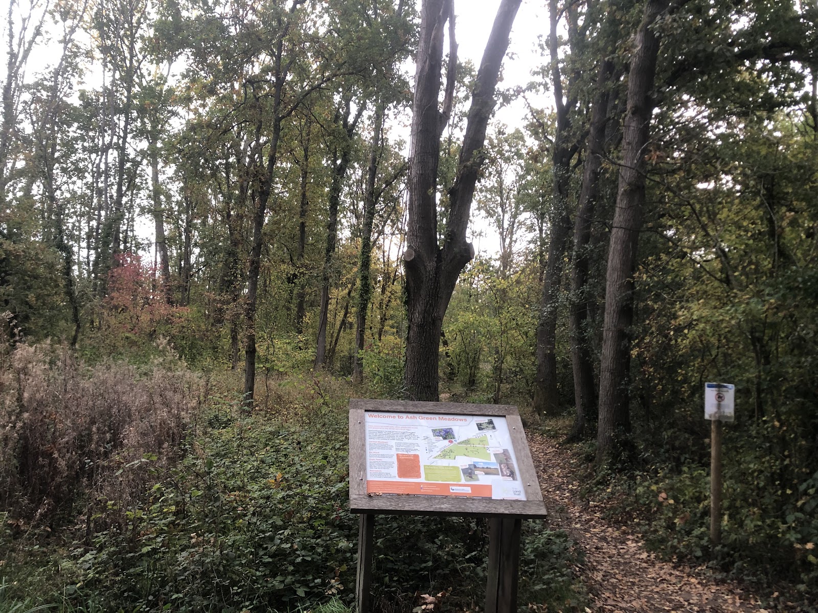
Keep exploring
Around Ash Green Meadows
Within 50 km · approximate straight-line distances