5.5
Wildland
Under 1 hour, if access is confirmed
Time
Check
Cost
Atmospheric
Feel
Why it's Wildland
5.5On a hill above the Weald, Anstiebury Camp preserves the earthwork outline of a large Iron Age stronghold. Its multiple banks and ditches are more subtle than a stone ruin, but the surviving defences record a remarkable feat of construction.
Anstiebury Camp brings a nationally important Iron Age monument into a wooded hill landscape. Its appeal lies in reading the surviving banks and ditches—and understanding how a defended enclosure was shaped around the slope—rather than expecting a standing castle or visitor facilities.
Atmospheric · Ancient-feeling
Find your way
Open mapNear Coldharbour, Dorking, Surrey
Opening map…
Know this place a little better?
The experience
A compact archaeological visit for people interested in Iron Age landscapes. The monument’s surviving earthworks, hilltop position and layered defences reward careful observation, but public access and a visitor route are not confirmed.
Things to do
Read the defensive earthworks
If access is permitted, look for the triple ramparts on the north and south-east, the terraces on the steeper west and south, and the single defensive line to the north-east.
Find the eastern entrance break
The official record identifies a wide break in the main rampart midway along the eastern side as the entrance. Observe it only from a lawful route and avoid walking on or damaging the earthworks.
Picture the hillfort above the Weald
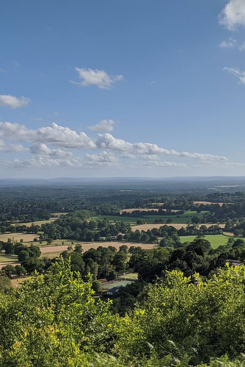
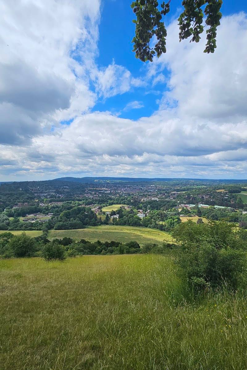
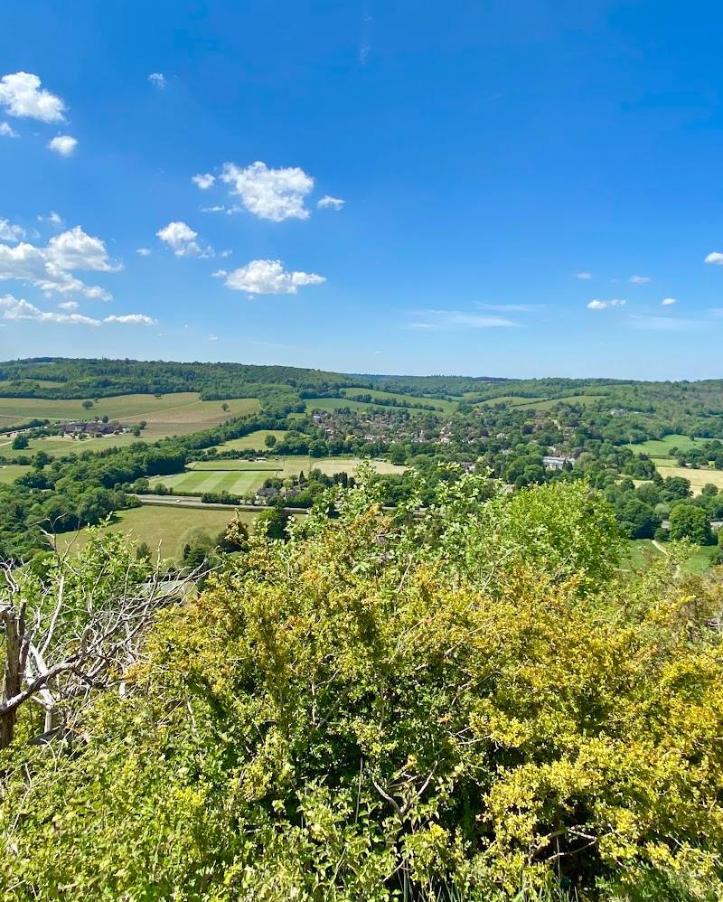
The enclosure occupies level ground on a hill crest in the Greensand, overlooking the lower Weald to the south. Its woodland setting can make the monument less immediately obvious than a stone ruin.
Make a day of it
Quick escape · Under 1 hour, if access is confirmed
Quick earthwork overview
- 01
First check whether the hillfort and approach are open to visitors.
- 02
If access is permitted, look for the surviving banks and ditches from an authorised path or viewpoint.
- 03
Compare the hillfort’s different defensive lines with the description in the official monument record; do not leave permitted paths or disturb the earthworks.
Half day · Half day
Pair the hillfort with a Coldharbour walk
- 01
Check access to Anstiebury Camp before making it the focus of your visit.
- 02
If access is confirmed, explore the monument without leaving authorised paths.
- 03
For a longer walk, use verified public paths in the wider Coldharbour and Leith Hill area; check route details and conditions before setting off.
Verified history
Historic England describes Anstiebury Camp as a large multivallate hillfort built in the second and first centuries BC. It encloses about 5 hectares on a Greensand hill crest above the Weald. Its defences vary with the terrain: triple ramparts to the north and south-east, terraces on steeper sides, and a single line to the north-east. Partial excavation showed archaeological remains and environmental evidence survive. Surrey’s Historic Environment Record describes the defences as possibly unfinished and records limited later Roman-period occupation. An excavator tentatively suggested deliberate abandonment and dismantling connected with Caesar’s landings in 55 and 54 BC; that explanation is a proposal, not an established fact.
Hidden details
Defences shaped by the hillside — The earthworks are not uniform all the way round: the official record describes triple ramparts where the ground is more level, terraces on steeper sides, and a single defensive line elsewhere.
A debated ending — Surrey’s Historic Environment Record notes a theory that the hillfort was deliberately abandoned and its defences dismantled, possibly in connection with Caesar’s landings in Britain. The record presents this as a tentative interpretation.
When to go
· No sourced recommendation; check access and conditions before visiting.
The supplied sources do not identify a best season for the hillfort.
The wider Coldharbour area has hilly countryside paths that can be steep, uneven or muddy after prolonged rain. Check conditions before walking.
Worth pairing with
Coldharbour and Leith Hill countryside
A potential half-day pairing for walkers: the supplied guide describes public footpaths and bridleways around Coldharbour connecting with Leith Hill and the wider Greensand landscape. Check current routes, conditions and access before setting out.
What to look for
If the site is lawfully accessible, look for the different lines of earthwork: a triple rampart to the north and south-east, terraces on the steeper western and southern sides, and the broad break in the eastern defences identified as the entrance. Do not climb or disturb the monument.
The story
Archaeology
Best time to go
Check access before visiting in any season. Paths in the surrounding area can be steep, uneven or muddy after rain.
No particular season is established by the supplied sources. Check access and conditions before travelling; allow for uneven or muddy paths if approaching on foot.
How long to spend
Under 1 hour, if access is confirmed
Perfect for
History lovers · Walkers
Before you go
Practical information
Opening & access
Public access is not confirmed. Check current access and any landowner guidance before setting out; do not enter private land or restricted areas. Access arrangements are unconfirmed. Check before visiting; do not enter private land or restricted structures.
Check before visiting
Parking
Check before visiting; no parking information is verified.
Check before visiting
Toilets
Check before visiting
Check before visiting
Food & drink
Check before visiting
Check before visiting
Dogs
Check before visiting
Check before visiting
Accessibility
Access, route condition and accessibility at the monument are not verified. Nearby countryside paths may be steep, uneven or muddy.
Cost
Check before visiting
Check before visiting
Gallery
Place photographs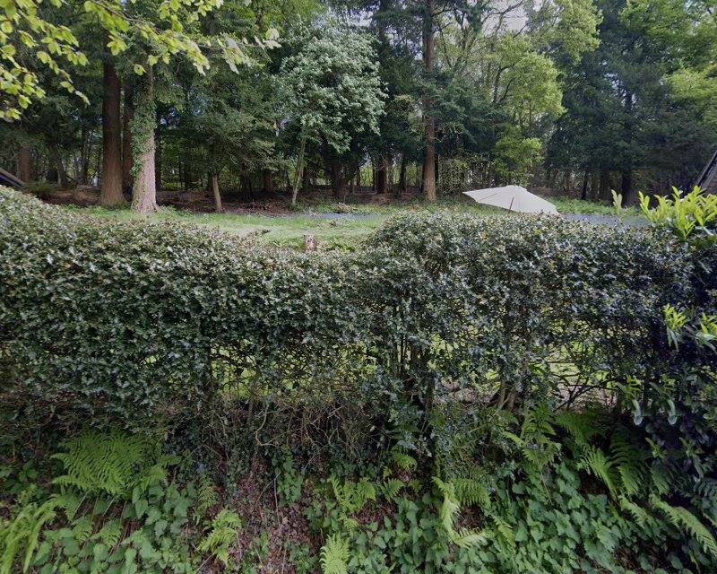
Keep exploring
Around Anstiebury Camp Hillfort
Within 50 km · approximate straight-line distances