Staines-upon-Thames, Stanwell, Staines, TW19 5NX
Wraysbury Reservoir
Reservoir
Place photograph
4.3
Wildland
1–2 hours
Time
Check
Cost
["Peaceful"]
Feel
Why it's Wildland
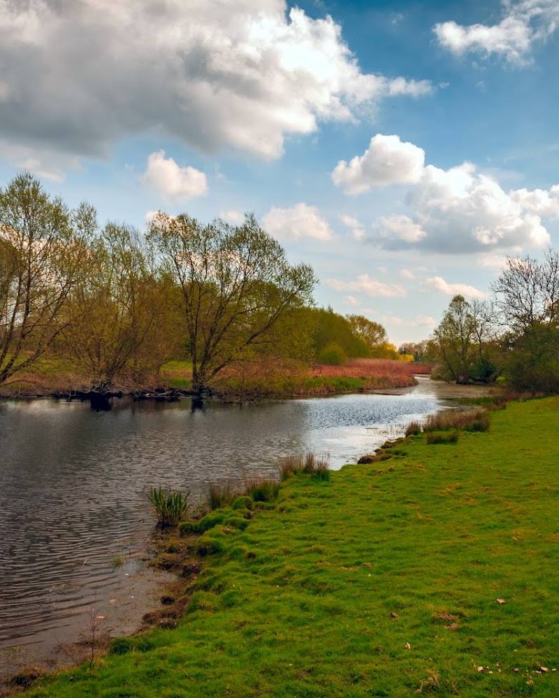
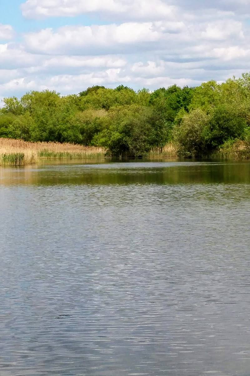
4.3The reservoir sits within a wider patchwork of water, riverside paths and wetland scenery. Walks in the surrounding area are described as flat and varied, with reedbeds, willows and poplars, but access to the reservoir itself should be checked first.
Wraysbury Reservoir is a useful starting point for exploring a water-rich landscape: nearby routes link lakeside scenery, rivers and woodland. The sources support the appeal of the wider walking area, but do not establish public access to the reservoir banks themselves.
["Peaceful"]
Find your way
Open mapStaines-upon-Thames, Stanwell, Staines, TW19 5NX
Opening map…
Know this place a little better?
The experience
The supplied sources describe easy walking routes in the wider Wraysbury area, including a circular route through lakeside, riverside, woodland and parkland scenery. They do not verify direct access to the reservoir, so confirm the route and access arrangements before visiting.
Things to do
Walk the Wraysbury and Hythe End circular
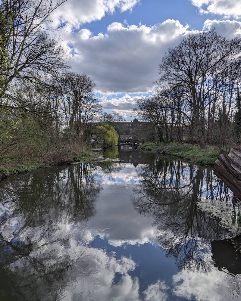
A described 7.4 km circular route with 11 m of elevation gain, taking in lake and river scenery, woodland and parkland. Check the route map, access and conditions before setting out; rougher, muddy sections and roads are noted.
1–1.5 hours
Look for wetland and waterside vegetation
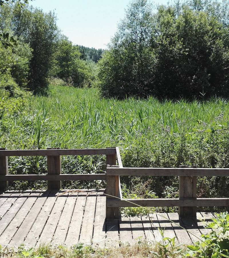
The area’s walk guide describes reedbeds, thorn scrub, and mature willows and poplars along lake edges and the Colne Brook. These are observations for the wider area, not a confirmed feature at a specific reservoir viewpoint.
Make a day of it
Quick escape · About 1–1.5 hours
A short walk in the Wraysbury area
- 01
Choose a mapped local route and verify its start point and access before setting out.
- 02
Follow the route through the described mix of lake, river, woodland and parkland scenery.
- 03
Allow for rougher or muddy sections and take care where the route follows roads.
Half day · About 1–2 hours
Extend the walk around Wraysbury and Hythe End
- 01
Follow the Wraysbury and Hythe End circular route if access and current conditions permit.
- 02
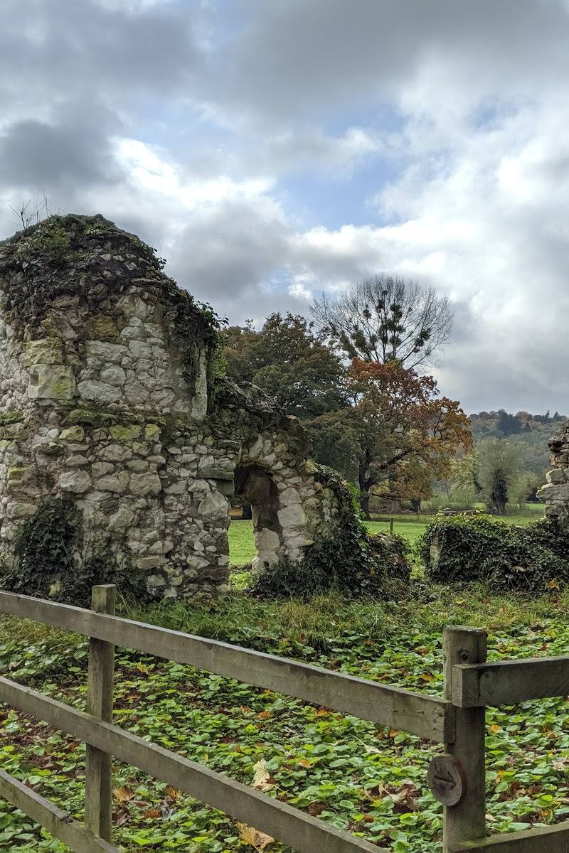
Look out for the route’s listed sights, including Colne Brook, Ankerwycke Yew and St Mary's Priory.
- 03
Check the route map and start point in advance; the route description notes rougher, potentially muddy sections and roads.
When to go
· Not specified in the supplied sources.
The supplied sources do not identify a best season or give seasonal wildlife guidance.
The route source notes that some sections can be rough or muddy. Check current conditions and choose appropriate footwear.
The route
- ascent
- 11 m
- surface
- Mixed; rougher and muddy sections are noted.
- distance
- 7.4 km
- duration
- 1–1.5 hours
- difficulty
- Easy
- route shape
- Circular
- start point
- The supplied route source does not establish a start point for the reservoir pin. Check the route map before setting out.
- Lake and riverside scenery
- Woodland and parkland
- Colne Brook
- Ankerwycke Yew
- St Mary's Priory
Worth pairing with
Ankerwycke Yew
Listed as a sight on the Wraysbury and Hythe End circular route; confirm access and route details before visiting.
St Mary's Priory
Listed as a sight on the Wraysbury and Hythe End circular route; the supplied source does not provide further details or confirm current access.
What to look for
On a suitable nearby walk, look for reedbeds, thorn scrub, mature willows and poplars, and the meeting of lake, river and woodland habitats. These features are described for the wider area, not confirmed at a particular reservoir viewpoint.
Best time to go
Not established by the supplied sources.
No season or time of day is specifically recommended by the supplied sources. Check current route conditions before setting out.
How long to spend
1–2 hours
Perfect for
["Walkers" · "Wildlife lovers"]
Before you go
Address
Google rating
Practical information
Opening & access
Public access to the reservoir itself is not verified. Nearby walking routes are described in the supplied route sources, but they do not confirm access to the reservoir banks or its operational land. Check access and any restrictions before setting out; do not enter restricted areas. Access arrangements are unconfirmed. Check before visiting; do not enter private land or restricted structures.
Check before visiting
Parking
Parking at the reservoir is not verified. Check route directions and parking arrangements before travelling.
Check before visiting
Toilets
Check before visiting
Check before visiting
Food & drink
Check before visiting
Check before visiting
Dogs
Check before visiting
Check before visiting
Accessibility
A nearby route is described as easy, flat and with minimal elevation gain, but this does not establish step-free access or accessibility at the reservoir itself. Check route conditions before setting out; some surrounding trails include rougher or muddy sections and roads.
Check before visiting
Cost
Check before visiting
Check before visiting
Water
Reservoir
Gallery
Place photographsKeep exploring
Around Wraysbury Reservoir
Within 50 km · approximate straight-line distances