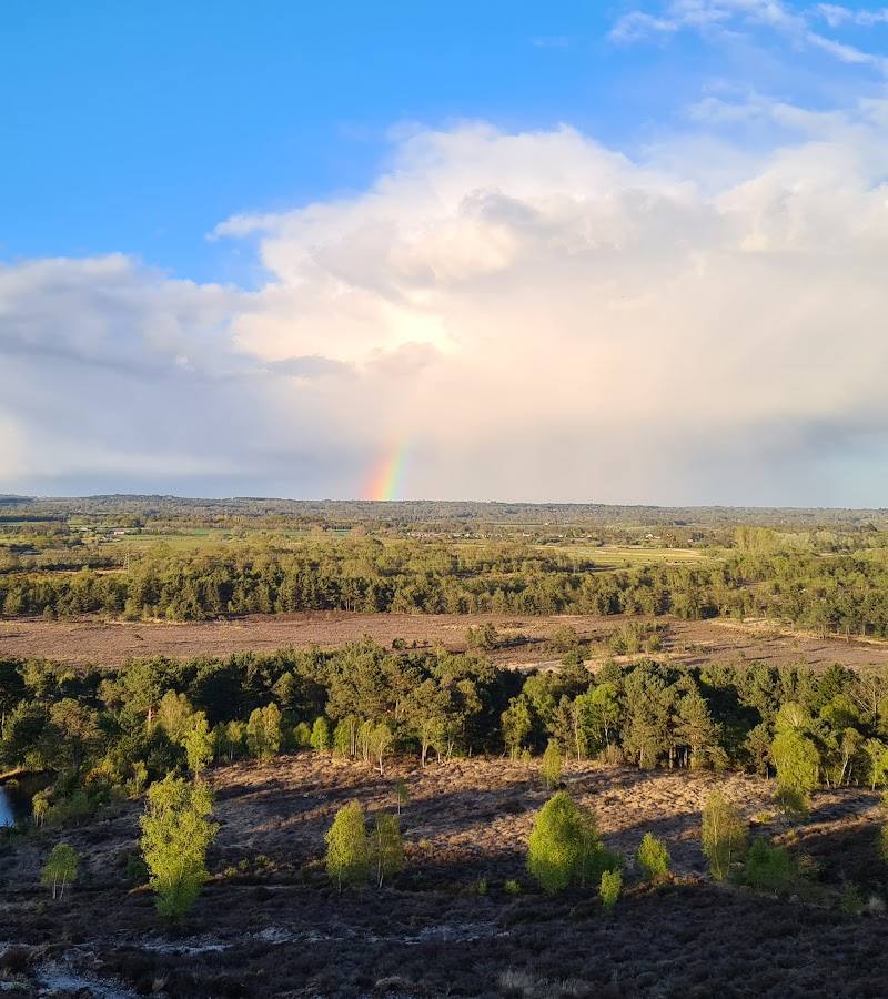
Whitefield Moor, near Brockenhurst, Hampshire
Whitefield Moor Circular Walk
route · Countryside walk
Place photograph
5.8
Wildland
1–2 hours
Time
Check
Cost
Peaceful
Feel
Why it's Wildland
5.8A short New Forest circuit that moves from woodland beside the Ober Water to open heathland, giving a compact taste of the landscape around Brockenhurst.
The appeal is the quick change of scene: shaded woodland and a stream give way to the broad, open edge of Whitefield Moor. It is a useful short New Forest walk, though the available evidence does not establish a rare feature or a more unusual story.
Peaceful · Big-sky · Wild
Find your way
Open mapWhitefield Moor, near Brockenhurst, Hampshire
Opening map…
Know this place a little better?
The experience
Follow the short circular walk from the car park, crossing the Ober Water and returning along the edge of the open moor. The route source describes it as very easy, about 1.6 miles and 30–60 minutes; weather and path conditions can affect the outing.
Things to do
Walk the short Whitefield Moor circuit
Take the circular route through woodland beside the Ober Water and return along the open moor edge.
30–60 minutes
Extend the outing on a longer local walk
A published walk account gives a 3.8-mile route from Whitefield Moor car park. Use its route map and notes for navigation.
Check the route notes before setting out
Make a day of it
Quick escape · 30–60 minutes
Quick loop: woodland, stream and heath
- 01
Start at Whitefield Moor car park and take either of the westbound footpaths.
- 02
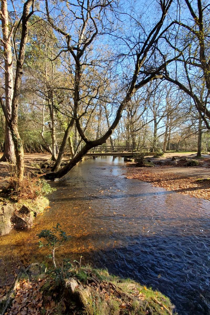
Follow the converging paths into woodland and cross the footbridge over the Ober Water.
- 03
Continue around the loop towards the open edge of the moor, then return to the car park.
Half day · Allow around 2–3 hours; route duration depends on the chosen walk
Take the longer way through the New Forest
- 01
Use the Whitefield Moor car park as a starting point for a longer local walk.
- 02
A walk account describes a 3.8-mile route from the car park, with 131 feet of ascent; consult its linked route map and notes rather than treating this as the short circular route.
- 03
Check weather and ground conditions: the account records muddy and flooded sections on a separate walk.
Hidden details
Look for the landscape change — The short route links streamside woodland with open heathland. The contrast is the most clearly evidenced detail to watch for along the circuit.
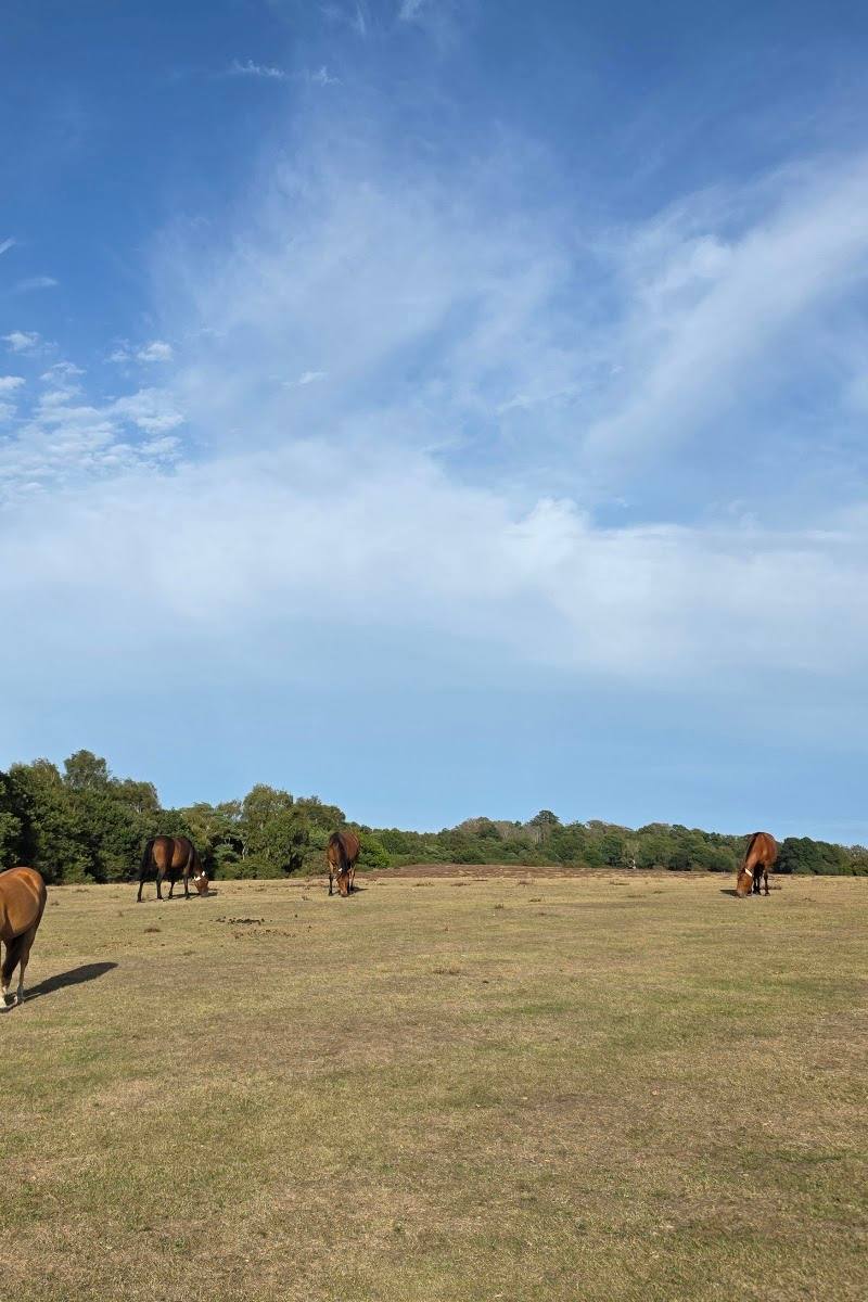
Keep an eye out for ponies — A walk account describes ponies browsing vegetation in the surrounding woodland. This is an observation, not a guaranteed sighting.
When to go
· No specific time is established by the supplied sources.
A walk account describes autumn colour, but the supplied research does not establish a reliably best season or peak dates.
A walk account reports muddy and flooded paths after wet weather. Check current weather and ground conditions before setting out.
The route
- ascent
- 105 ft
- surface
- Footpaths and bridleway; conditions may be muddy or flooded after wet weather
- distance
- 1.6 miles
- duration
- 30–60 minutes
- difficulty
- Very easy
- route shape
- Circular
- start point
- Whitefield Moor car park; route directions give the trailhead as 50.823211, -1.612074
- parking start
- Whitefield Moor car park. Check current access and parking terms before visiting.
- Woodland beside the Ober Water
- Footbridge over the stream
- Open views across the edge of Whitefield Moor
What to look for
- 01
Notice the contrast between the wooded Ober Water section and the open heathland on the return. A walk account also describes ponies browsing woodland vegetation and a deer enclosure along a longer outing
- 02
wildlife sightings are not guaranteed.
Best time to go
No specific peak season is established by the supplied sources. Autumn colour is noted in a walk account; check conditions before visiting.
No best time of day is established in the supplied sources. Check weather and path conditions before setting out.
How long to spend
1–2 hours
Perfect for
Walkers · Families · Photographers
Route at a glance
Duration
1–2 hours
Terrain
Woodland, Wetland
Parking / start
Whitefield Moor car park is identified as the walk’s start. Parking charges and current access details: Check before visiting.
Before you go
Address
Listed hours
- Monday: Open 24 hours
- Tuesday: Open 24 hours
- Wednesday: Open 24 hours
- Thursday: Open 24 hours
- Friday: Open 24 hours
- Saturday: Open 24 hours
- Sunday: Open 24 hours
Check before visiting.
Google rating
Practical information
Opening & access
A walk starts from the Whitefield Moor car park. The supplied sources describe public paths and a circular route; check current access and conditions before setting out.
Check before visiting
Parking
Whitefield Moor car park is identified as the walk’s start. Parking charges and current access details: Check before visiting.
Check before visiting
Toilets
Check before visiting
Check before visiting
Food & drink
Check before visiting
Check before visiting
Dogs
Check before visiting
Check before visiting
Accessibility
The source row reports a wheelchair-accessible car park and entrance. It does not establish that the walking route itself is wheelchair accessible; check route conditions before visiting.
Check before visiting
Cost
Check before visiting
Check before visiting
Water
Stream
Gallery
Place photographs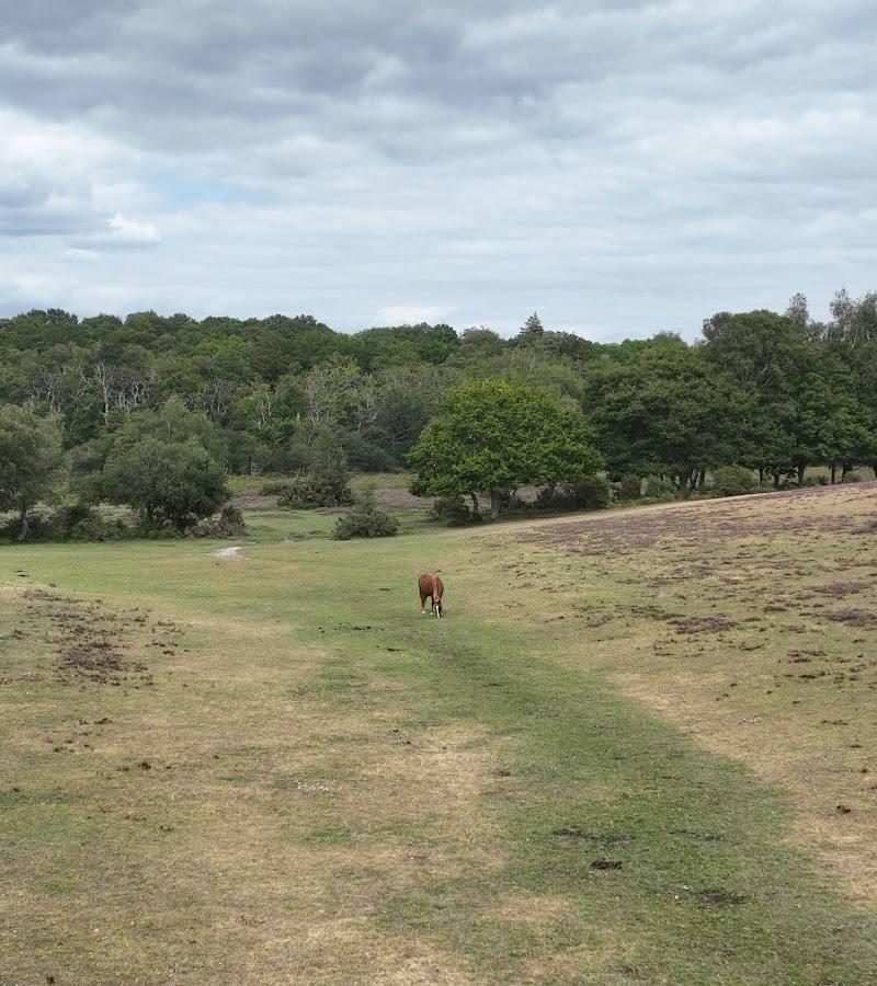
Keep exploring
Around Whitefield Moor Circular Walk
Within 50 km · approximate straight-line distances
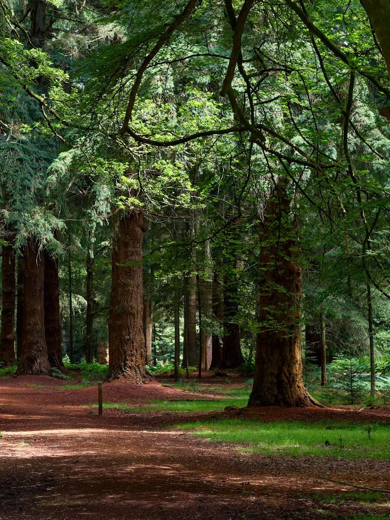 Place photograph7.2
Rhinefield Ornamental Drive
Rhinefield, near Brockenhurst, New Forest, Hampshire
2.2 km away
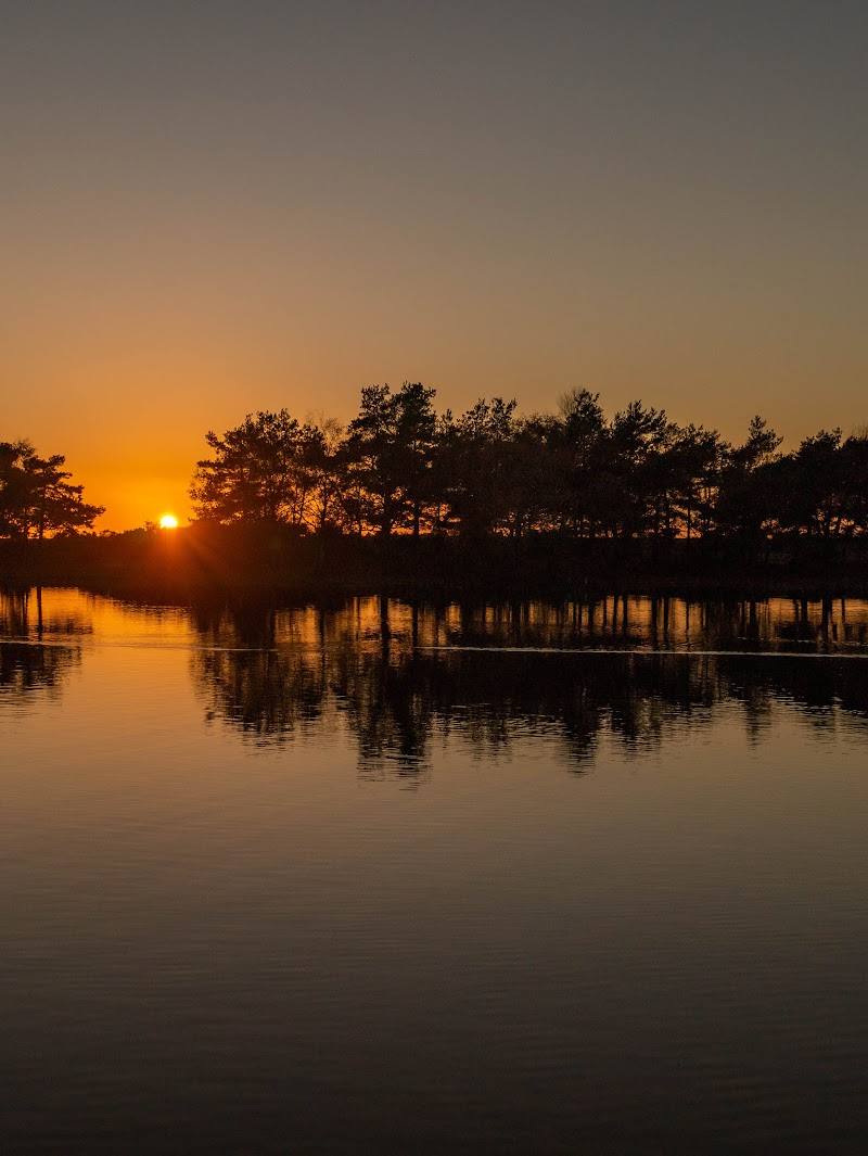
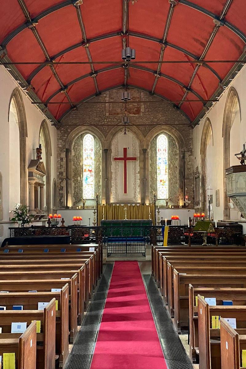
 Source image7.2
Blashford Lakes Nature Reserve
Ellingham Drove, Ringwood, Hampshire BH24 3PJ
13.4 km away
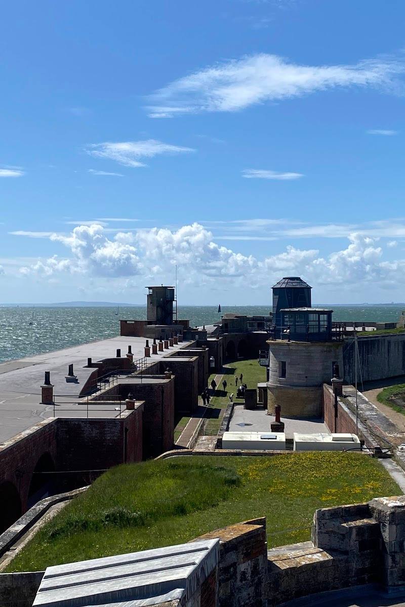 Place photograph7.8
Hurst Castle
Hurst Spit, Milford on Sea, near Lymington, Hampshire SO41 0TP
13.6 km away