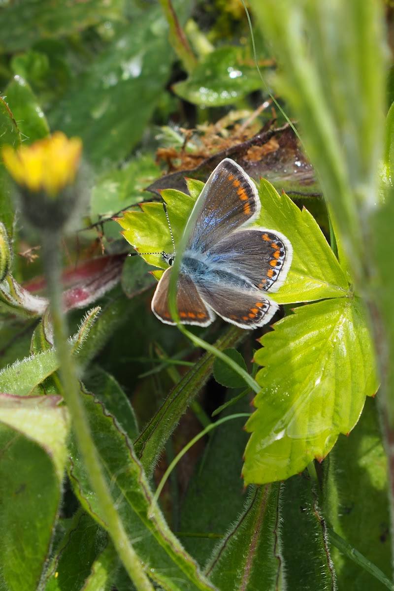
Wester Inch, near Bathgate, West Lothian, Scotland
Wester Inch Woodland Walk
route · Woodland walk
Place photograph
4.6
Wildland
Half day
Time
Check
Cost
Peaceful
Feel
Why it's Wildland
4.6This is a local walk through a residential landscape where wildlife and nature sit alongside the village. The Ramblers describe an easy circular route and a chance to learn what to look out for and what was here before Wester Inch was built.
Wester Inch offers an easy, nature-focused circuit close to Bathgate, with ponds and wildlife interest described on the walk. Its appeal is the contrast between everyday village surroundings and pockets of green space, rather than a remote or uninterrupted woodland escape.
Peaceful
Find your way
Open mapWester Inch, near Bathgate, West Lothian, Scotland
Opening map…
Know this place a little better?
The experience
A circular walk around Wester Inch near Bathgate. The Ramblers give a route length of 6.8 km, describe it as easy and mostly paved, and note that some sections can become muddy after rain.
Things to do
Walk the Wester Inch circuit
Follow the easy 6.8 km circular route, which is mostly on paved paths. A few sections may be muddy after rain.
About 2 hours
Watch for wildlife around the ponds
The Ramblers’ walk highlights wildlife and ponds along the Wester Inch route. The supplied source does not identify particular species.
Notice nature alongside the village
The route explores how nature thrives alongside Wester Inch’s residential setting and invites walkers to consider what was here before the village.
Make a day of it
Quick escape · About 2 hours
Quick circuit
- 01
Follow the circular Wester Inch route from the Leyland Road starting area.
- 02
Walk the mostly paved paths and look out for wildlife around the ponds.
- 03
Allow extra time if paths are muddy after rain.
Half day · Around 3 hours, allowing time to pause
Make a half day of it
- 01
Walk the full 6.8 km circular route at an unhurried pace.
- 02
Pause to watch for wildlife and notice how green space meets the surrounding housing.
- 03
Check current route and parking information before setting off.
When to go
May · June · July · August · September · October · Daylight hours; check local conditions and route information before setting out.
The supplied source describes late spring to early autumn as the greener part of the year and autumn as a time for foliage colour. The Ramblers note that paths can be muddy after rain.
A few route sections may be muddy after rain. Wear footwear suited to wet paths and check current conditions before visiting.
The route
- ascent
- 25 m / 82 ft
- stiles
- Check before visiting
- surface
- Mostly paved paths; some sections may be muddy after rain
- distance
- 6.8 km / 4.2 miles
- duration
- Approximately 1 hour 55 minutes, based on the listed Ramblers walk times
- difficulty
- Easy
- waymarking
- Check before visiting
- route shape
- Circular
- start point
- Parking area beside the play park on Leyland Road, Wester Inch, opposite Simpson Primary School; Ramblers grid reference NS 97669 67298.
- parking start
- Ramblers list parking at the starting point beside the play park on Leyland Road. Check current arrangements before travelling.
- Circular walk around Wester Inch
- Ponds and wildlife interest
- Mostly paved paths
- A route exploring nature alongside a residential village
What to look for
- 01
Look out for wildlife around the ponds and along the route. The Ramblers’ walk focuses on how nature thrives alongside the residential area and what was here before the village
- 02
specific species and historical features are not identified in the supplied evidence.
Best time to go
Late spring to early autumn for greener surroundings; autumn for changing foliage. The route is also walkable in winter, but paths may be muddy after rain.
Late spring to early autumn for greener woodland surroundings; autumn for foliage colour. After wet weather, allow for muddy sections. Check the route and conditions before setting out.
How long to spend
Half day
Perfect for
Families · Walkers · Wildlife lovers · Photographers · Dogs
Route at a glance
Duration
Half day
Terrain
Woodland, Village
Parking / start
Parking is available by the play park on Leyland Road, opposite Simpson Primary School, according to the Ramblers walk details. Check parking arrangements before travelling.
Practical information
Opening & access
A circular walk around Wester Inch, mostly on paved paths. Some sections can be muddy after rain; check current access and route conditions before setting out. Access arrangements are unconfirmed. Check before visiting; do not enter private land or restricted structures.
Check before visiting
Parking
Parking is available by the play park on Leyland Road, opposite Simpson Primary School, according to the Ramblers walk details. Check parking arrangements before travelling.
Check before visiting
Toilets
No public toilets on site, according to the supplied source row. Check before visiting.
Check before visiting
Food & drink
Check before visiting.
Check before visiting
Dogs
The supplied source row describes the area as dog-friendly and advises keeping dogs on a lead to protect wildlife. Check current local guidance before visiting.
Check before visiting
Accessibility
The Ramblers describe the route as easy and mostly paved, with some sections that may be muddy after rain. The supplied source row says not all paths are suitable for wheelchair access. Check conditions and suitability before visiting.
Check before visiting
Cost
Check before visiting
Check before visiting
Water
Pond
Gallery
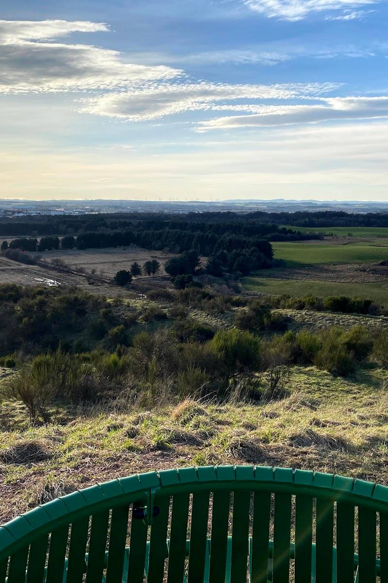
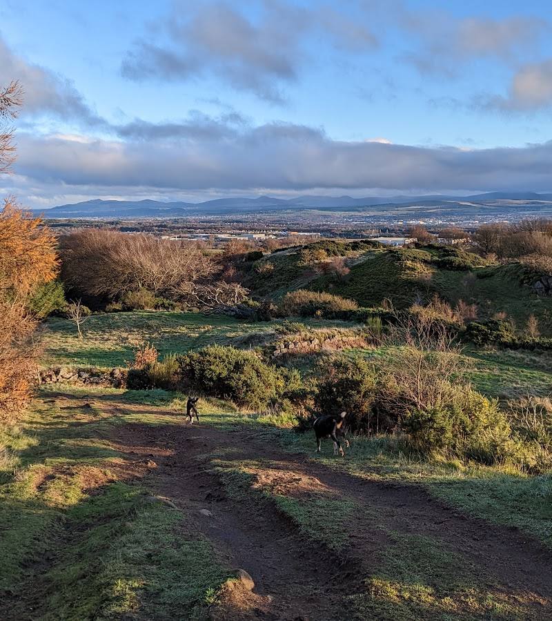
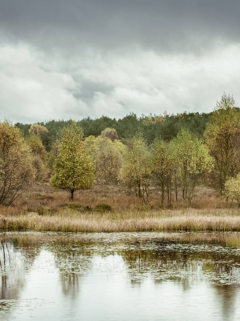
Place photographsKeep exploring
Around Wester Inch Woodland Walk
Within 50 km · approximate straight-line distances
 Place photograph5.8
Tailend Moss Wildlife Reserve
Starlaw Road, south-east of Bathgate, West Lothian
3.2 km away
 Place photograph6.8
Blawhorn Moss National Nature Reserve
Near Blackridge, West Lothian, Scotland
9.5 km away