Along the River Wandle from Croydon towards the Thames at Wandsworth
Wandle Trail
route · Waterside walk
Source image
5.1
Wildland
Half day, Full day
Time
Check
Cost
Varied
Feel
Why it's Wildland
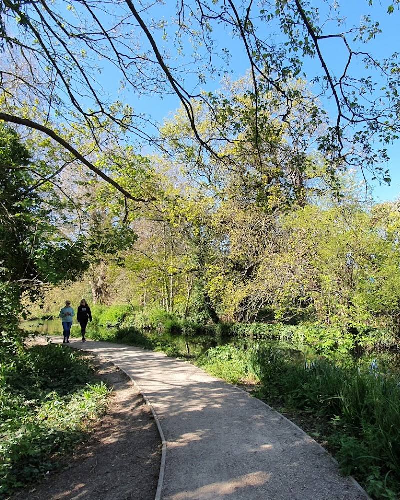
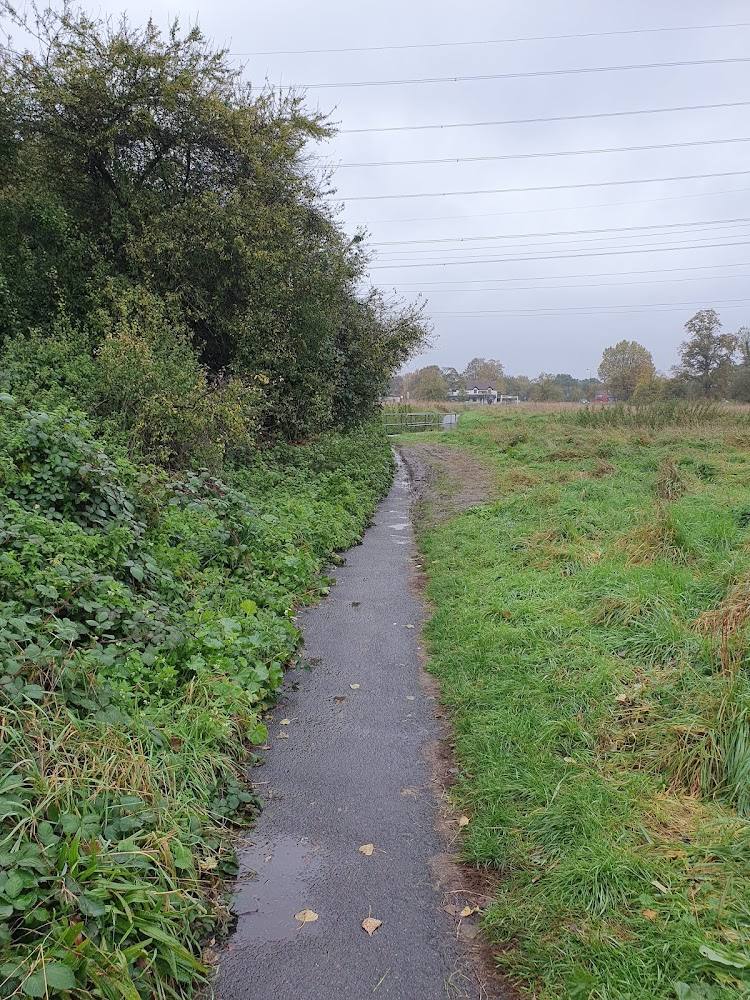
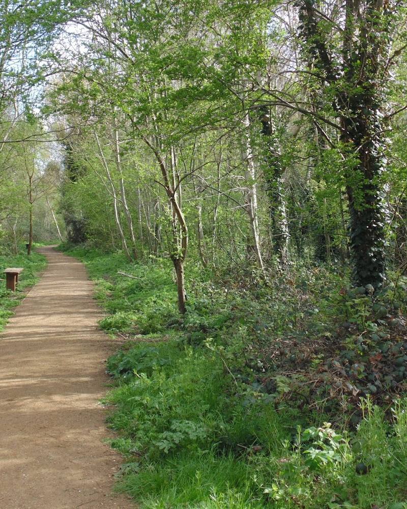
5.1The Wandle Trail follows a river corridor through south London, linking urban streets with parks, gardens, nature reserves and traces of local heritage. It is a long, varied route rather than a continuous escape from the city: expect green spaces alongside built-up and industrial stretches.
The Wandle Trail earns its place for the way it threads a river, more than 40 green spaces and 12 nature reserves through south London. Its appeal is discovery along the way, not uninterrupted wilderness; route gaps and urban sections make checking your chosen stretch essential.
Varied · Green · Exploratory
Find your way
Open mapAlong the River Wandle from Croydon towards the Thames at Wandsworth
Opening map…
Know this place a little better?
The experience
Choose a section for a shorter walk or follow a longer point-to-point route beside the Wandle. The sources report route lengths and times that differ, and note missing links, so confirm the route and transport plan before setting out.
Things to do
Walk a section of the Wandle Trail
Follow a selected stretch of the riverside route. The route is described as linking green spaces and nature reserves, but has missing links, so check directions for your chosen section.
About 2 hours for the East Croydon–Carshalton section described by Go Jauntly
Cycle a section of the trail
The Wandle Trail is described as a walking and cycling route. Check the route information for your chosen section before riding.
Explore the route’s green spaces
The full-route description refers to more than 40 green spaces and 12 nature reserves along the Wandle Valley. Choose a section and check which sites it passes before visiting.
Make a day of it
Quick escape · About 2 hours
A shorter Wandle Trail section
- 01
Use the described East Croydon–Carshalton section as a shorter taste of the trail.
- 02
Check the route and transport details before starting; the supplied source does not provide full step-by-step directions in its excerpt.
Half day · About 3.5–4 hours for the AllTrails route estimate; another source describes a 7 hr 30 min full-route walk
Follow the trail from Croydon towards the Thames
- 01
Plan a point-to-point walk following the River Wandle from Croydon towards the Thames at Wandsworth.
- 02
Choose a start and finish that work with public transport; East Croydon and Wandsworth Town stations are identified near the route ends.
- 03
Check for missing links and confirm the route before setting out; the sources give different distances and durations.
Verified history
The supplied route sources describe cultural heritage and historic sites along the Wandle Valley, but do not provide specific dates, people or events that can be verified here.
When to go
· Check before visiting; no preferred time is verified.
The supplied sources do not establish a seasonal advantage.
Check the forecast and current route conditions before setting out. Some sections may be muddy, and route links are reported as incomplete.
The route
- ascent
- 28 m according to AllTrails.
- stiles
- Check before visiting; not specified in the supplied sources.
- surface
- Partially paved; AllTrails reports 12.9 km paved, 3.8 km unknown and 7% gravel.
- distance
- Sources give different figures: 19.6 km on AllTrails and 21.7 km on Go Jauntly.
- duration
- AllTrails estimates 3.5–4 hours; Go Jauntly describes 7 hr 30 min for its full-route challenge.
- difficulty
- Moderate according to AllTrails.
- waymarking
- Check before visiting; not specified in the supplied sources.
- route shape
- Point to point; described as following the River Wandle from Croydon to the Thames at Wandsworth.
- start point
- AllTrails identifies Wandle Park in Croydon and Carshalton Ponds as two main starting points. Go Jauntly’s full-route walk begins at East Croydon railway station.
- parking start
- Check before visiting; parking is not verified. East Croydon and Wandsworth Town stations are identified near the route ends.
- shorter alternative
- Go Jauntly describes Part 1, East Croydon to Carshalton, as 6.4 km and about 2 hours.
- The River Wandle corridor
- Parks, gardens and nature reserves
- Local heritage along the route
What to look for
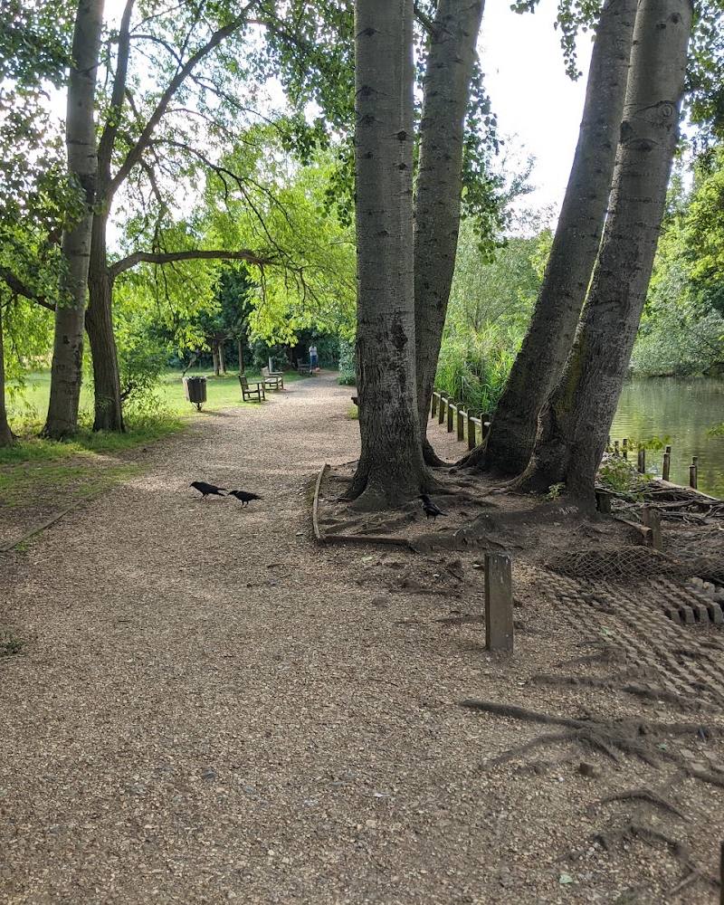
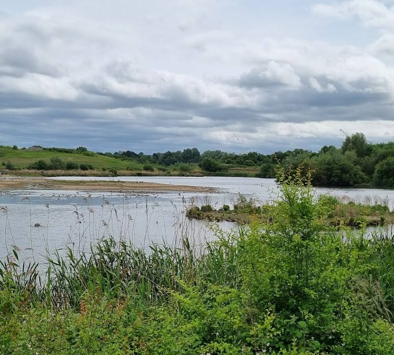
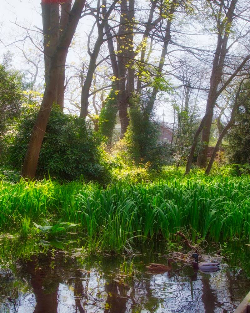
Notice how the riverside route shifts between green spaces and the surrounding city. The supplied route sources describe parks, gardens, nature reserves and local heritage, but do not substantiate more specific wildlife or historical details.
The story
Local heritage along the Wandle Valley; specific historical claims are not verified in the supplied sources.
Best time to go
Check current path conditions before visiting; no best season is verified in the supplied sources.
No best time of day or season is verified. Check conditions and route details before visiting.
How long to spend
Half day, Full day
Perfect for
Walkers · Cyclists · Wildlife lovers · History lovers
Route at a glance
Duration
Half day, Full day
Terrain
Riverside, Parkland
Parking / start
Check before visiting. The supplied sources identify East Croydon and Wandsworth Town stations near route ends, but do not verify parking.
Before you go
Address
Website
Listed hours
- Monday: Open 24 hours
- Tuesday: Open 24 hours
- Wednesday: Open 24 hours
- Thursday: Open 24 hours
- Friday: Open 24 hours
- Saturday: Open 24 hours
- Sunday: Open 24 hours
Check before visiting.
Google rating
Practical information
Opening & access
The supplied route sources describe a public walking and cycling trail, but do not verify access conditions for every section. The trail has missing links; check current route information before setting out. Access arrangements are unconfirmed. Check before visiting; do not enter private land or restricted structures.
Check before visiting
Parking
Check before visiting. The supplied sources identify East Croydon and Wandsworth Town stations near route ends, but do not verify parking.
Check before visiting
Toilets
Check before visiting.
Check before visiting
Food & drink
The route source indicates refreshments are available along the trail; check current options and opening before visiting.
Check before visiting
Dogs
Check before visiting; dog access and restrictions are not verified.
Check before visiting
Accessibility
A source describes the trail as partially paved, with some unknown-surface sections. Wheelchair access and accessibility across the full route are not verified; check the chosen section before setting out.
Check before visiting
Cost
Check before visiting
Check before visiting
Water
River: the route follows the River Wandle. No swimming or paddling permission is established.
Gallery
Place photographsKeep exploring
Around Wandle Trail
Within 50 km · approximate straight-line distances