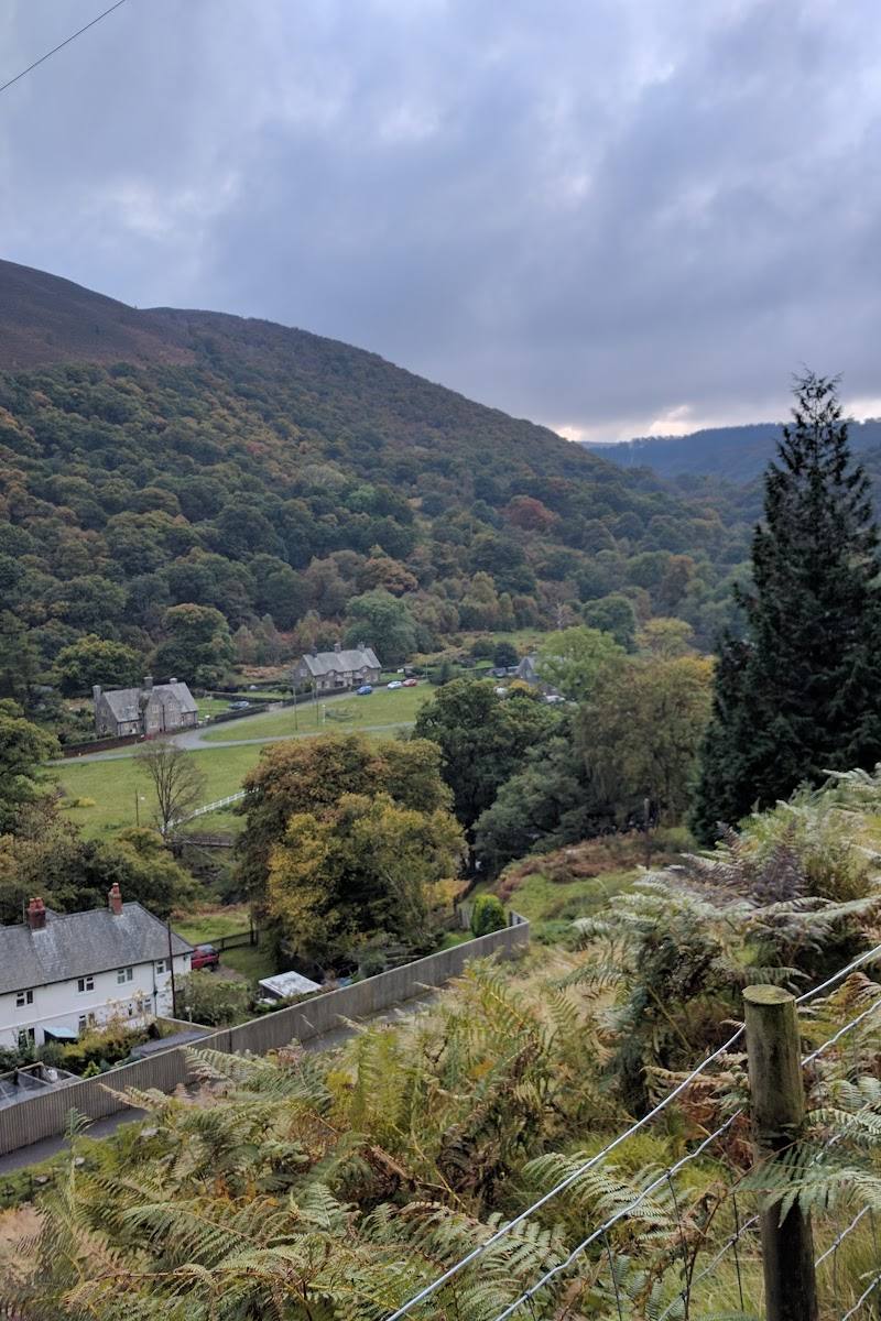
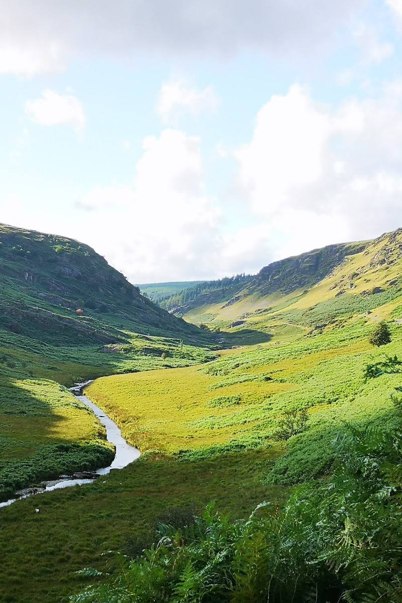
Aberystwyth, Ceredigion, Welsh coast
Wales Coast Path near Aberystwyth
route · Coastal walk
Place photograph
5.2
Wildland
Check before visiting
Time
Check
Cost
Wild
Feel
Why it's Wildland
5.2Near Aberystwyth, the Wales Coast Path brings the larger story of a country-length coastal trail to the Ceredigion shore. The path opened in 2012 as the first footpath to follow the full coastline of a country.
A worthwhile way to experience the Welsh coast on foot, with the larger Wales Coast Path story behind it. The supplied evidence supports a coastal walk near Aberystwyth, but not a particular local section, route length or signature feature.
Wild · Big-sky
Find your way
Open mapAberystwyth, Ceredigion, Welsh coast
Opening map…
Know this place a little better?
The experience
Use the path for a coastal walk near Aberystwyth. The supplied research does not verify a specific local circuit, start point, distance or facilities, so plan those details before setting out.
Things to do
Walk a section of the Wales Coast Path
Explore a locally verified section near Aberystwyth. The Ceredigion Coast Path is described as a waymarked long-distance route along the Cardigan Bay coast, but the supplied evidence does not specify a particular Aberystwyth start or circuit.
Make a day of it
Quick escape · Check before visiting
A short coastal-path outing
- 01
Choose and verify a local access point near Aberystwyth before setting out.
- 02
Walk a manageable section of the Wales Coast Path and return by the same route unless you have confirmed a suitable onward connection.
Verified history
The Wales Coast Path project joined existing coastal trails into a continuous route. It opened to the public in May 2012 and runs for 870 miles (1,400 km) around the Welsh coastline, from near Flint to Chepstow. The supplied source does not provide a specific historical account of the Aberystwyth section.
When to go
· No evidence-supported recommendation available.
The supplied sources do not identify seasonal conditions or a best time of year for the Aberystwyth section.
Check the local forecast and path conditions before setting out; detailed local weather or route-condition guidance was not supplied.
The route
- waymarking
- The Wales Coast Path is waymarked along its full length.
- A section of the Wales Coast Path near Aberystwyth
- Part of the Ceredigion Coast Path along the Cardigan Bay coast
What to look for
Look for changing coastal views and the route’s Wales Coast Path waymarks. The supplied sources do not verify a particular local wildlife sighting or historic feature.
The story
Coastal walking history
Best time to go
Check local conditions before visiting; the supplied sources do not identify a best season for this section.
No specific best time is supported by the supplied sources.
How long to spend
Check before visiting
Perfect for
Walkers · Photographers
Route at a glance
Duration
Check before visiting
Terrain
Coastal
Parking / start
Check before visiting
Practical information
Opening & access
The Wales Coast Path is a public walking route. The supplied sources do not establish a particular local start point or current conditions; check before setting out.
Check before visiting
Parking
Check before visiting
Check before visiting
Toilets
Check before visiting
Check before visiting
Food & drink
Check before visiting
Check before visiting
Dogs
The source row marks this listing as dog-friendly; confirm current local rules and signage before visiting.
Accessibility
Check before visiting
Check before visiting
Cost
Check before visiting
Check before visiting
Water
Sea
Gallery
Place photographsKeep exploring
Around Wales Coast Path near Aberystwyth
Within 50 km · approximate straight-line distances
 Place photograph8.1
Dyfi National Nature Reserve (Ynyslas)
Ynyslas, near Aberystwyth, Mid Wales
12.3 km away
 Place photograph5.5
Cnwch Woods Blue Route
Cnwch Woods, Elan Valley, near Rhayader, Powys, Wales
38.6 km away
 Place photograph8.7
Luxury Lodges Wales
Grandstand, Trefeglwys, near Caersws, Powys SY17 5PU
38.8 km away