Walberswick, Suffolk, IP18 6NB, on the Suffolk coast, south of the River Blyth and opposite Southwold.
Walberswick Beach
Beach
Place photograph
6.0
Wildland
1–2 hours
Time
Check
Cost
Peaceful
Feel
Why it's Wildland
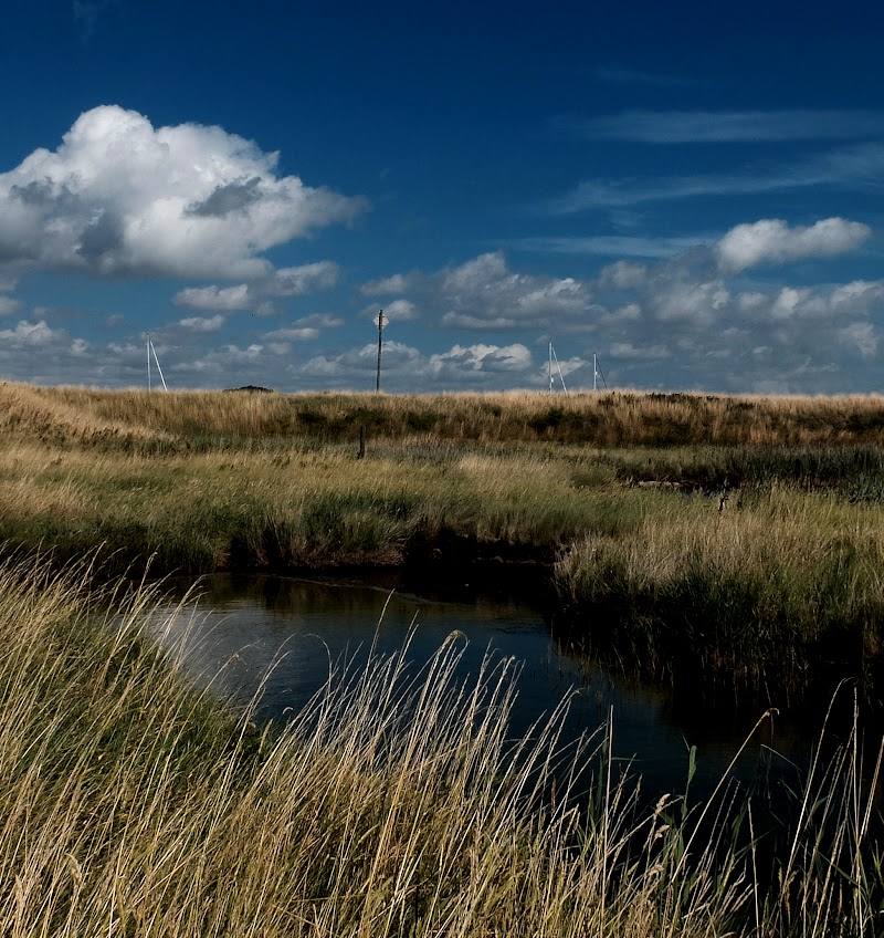
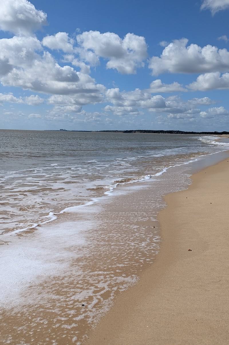
6.0Sand and shingle meet low dunes on this Suffolk shore, with Walberswick’s village and the Blyth estuary close by. Combine time on the beach with a walk through the dunes or into the village.
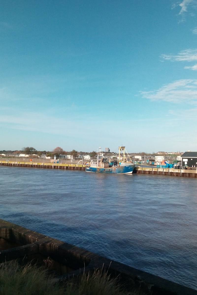
The appeal is the meeting of beach, low dunes and a village with a working history as a port. Walberswick offers a coastal escape that can be explored on foot, with the Blyth crossing and nearby heath and marshland adding a wider landscape to the visit.
Peaceful · Secluded
Find your way
Open mapWalberswick, Suffolk, IP18 6NB, on the Suffolk coast, south of the River Blyth and opposite Southwold.
Opening map…
Know this place a little better?
The experience
Spend an hour or two on the sand and shingle, explore the dunes, or extend the visit with a walk into Walberswick village. For a longer outing, a documented loop links Southwold, the harbour, Walberswick and the reserve’s reedbeds.
Things to do
Explore the beach and dunes
Spend time on the sand-and-shingle shore and explore the low dunes that back the beach.
1–2 hours
Walk the Southwold–Walberswick marshes loop
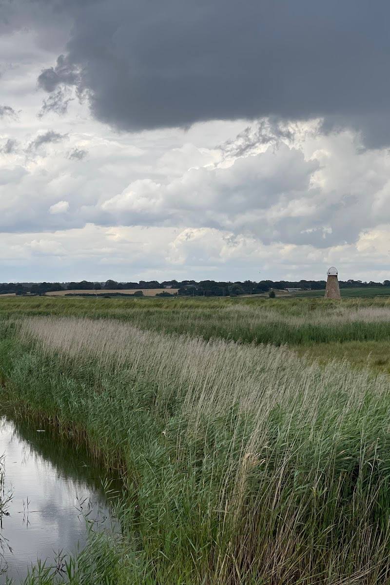
A documented loop from Southwold passes the harbour, Walberswick village, woodland and reedbeds. AllTrails describes it as 6.3 miles, broadly flat, with sections that can become muddy.
2–2.5 hours
Explore Walberswick village
Walk into the village for its tea rooms, restaurants, public houses, village shop and art gallery. Opening times are not supplied; check ahead.
See St Andrew’s Church ruins
Visit the church at the top of the village. The local visitor website describes the ruins and explains that the church was partly dismantled after the parish declined and the building decayed.
Make a day of it
Quick escape · 1–2 hours
Quick Escape: beach and dunes
- 01
Head to Walberswick Beach and spend time along the sand-and-shingle shore.
- 02
Explore the low dunes behind the beach, keeping to suitable paths.
- 03
Return to the village or continue into Walberswick if time allows.
Half day · Half day
Make a half day of it: beach, village and Blyth crossing
- 01
Explore the beach and dunes.
- 02
Walk into Walberswick village for its tea rooms, shops or public houses; check what is open.
- 03
If operating, use the summer foot ferry to cross the River Blyth, or use the Bailey Bridge for a pedestrian crossing.
- 04
Allow time for a walk along the coast or around the village before returning.
Full Wildland day · 2–2.5 hours for the documented loop, plus time for stops
A Southwold–Walberswick walking day
- 01
Start in Southwold and follow the documented loop via the harbour towards Walberswick.
- 02
Continue through the nature reserve and reedbeds, then explore Walberswick village.
- 03
Return to Southwold by the route described, allowing extra time for beach and village stops.
- 04
Check route conditions and ferry arrangements; the documented route is a loop and does not require relying on the ferry.
Verified history
Walberswick was a thriving port from medieval times into the twentieth century, trading in goods including cheese, bacon, corn, timber and fish. The local visitor website says the village name is believed to derive from a Saxon personal name, Waldbert or Walhbert, and “wyc”, meaning shelter or harbour. St Andrew’s was the village’s third church, built at the end of the fifteenth century; after the parish lost its tithes and the building decayed, it was partly dismantled to provide for repairs and restoration to the south aisle. Artists who visited Walberswick from the Victorian era included Charles Rennie Mackintosh and Philip Wilson Steer.
Hidden details
The remains of a once larger church — At St Andrew’s, the scale of the church ruins within the surviving structure is described as evidence of how wealthy and large the parish once was.
A port remembered in the village landscape — Walberswick’s medieval-to-twentieth-century trade included cheese, bacon, corn, timber and fish. The harbour-side crossing and village setting provide context for this history.
When to go
April · May · June · July · August · September · A clear morning or afternoon for beach time and walking; check ferry operation if you plan to cross by foot ferry.
The local visitor website describes the foot ferry as running during the summer months, making summer a useful season for combining Walberswick with the Southwold side of the River Blyth. The beach and village can also be explored without the ferry.
Coastal weather can change quickly. The documented Southwold–Walberswick route can be muddy, particularly around the reedbeds, and the source recommends grippy footwear that can cope with puddles.
The route
- ascent
- 124 ft
- surface
- Mixed paths; sections around and through the reedbeds can be muddy, and some parts may be overgrown.
- distance
- 6.3 miles
- duration
- 2–2.5 hours
- difficulty
- Moderate
- route shape
- Loop
- start point
- Corner of East Street in Southwold, according to the route source.
- parking start
- Check before visiting; parking details are not established by the supplied route excerpt.
- Southwold seafront and harbour
- Walberswick village
- Walberswick nature reserve
- Woodland and reedbeds
Worth pairing with
Southwold
Across the River Blyth and described by the local visitor website as within strolling distance by one of the walks around Walberswick. The Southwold–Walberswick loop provides a sourced way to combine the two places.
Walberswick village
Pair the beach with the village’s tea rooms, restaurants, public houses, shops and St Andrew’s Church ruins.
What to look for
Notice the change from sand and shingle to the low dunes behind the beach. In the village, look for the harbour-side setting and St Andrew’s Church ruins, which reflect Walberswick’s former prosperity and the scale of its earlier parish church.
The story
Industry, Maritime, Literature
Best time to go
Spring to early autumn for longer coastal walks and the summer foot ferry; the beach can be visited year-round.
Choose a clear day for a coastal walk. The foot ferry between Walberswick and the Southwold side of the Blyth is described as running during summer months; check its current operation before planning around it.
How long to spend
1–2 hours
Perfect for
Walkers · Photographers · Families
Before you go
Practical information
Opening & access
A beach beside Walberswick village. The village and beach are linked with Southwold by the Bailey Bridge for pedestrians and cyclists; a foot ferry also runs in summer. Check current access and ferry arrangements before setting out. Access arrangements are unconfirmed. Check before visiting; do not enter private land or restricted structures.
Check before visiting
Parking
Check local parking arrangements before visiting; the supplied sources do not confirm specific car parks or facilities.
Check before visiting
Toilets
Check before visiting.
Check before visiting
Food & drink
The village has tea rooms, restaurants, public houses and a village shop, according to the local visitor website. Check opening times before visiting.
Check before visiting
Dogs
Check current local dog guidance before visiting. Dogs should be kept under control near grazing sheep on the nature-reserve walk described by AllTrails.
Check before visiting
Accessibility
The beach and surrounding paths are coastal terrain; surfaces, conditions and step-free access are not confirmed in the supplied sources. Check before visiting.
Check before visiting
Cost
Check before visiting.
Check before visiting
Water
Sea; River Blyth nearby.
Gallery
Place photographsKeep exploring
Around Walberswick Beach
Within 50 km · approximate straight-line distances
 Place photograph6.8
Benacre National Nature Reserve
Suffolk coast, around Covehithe and Benacre
8.1 km away
 Place photograph6.1
Africa Alive
Whites Lane, Kessingland, near Lowestoft, Suffolk NR33 7TF
11.3 km away
 Place photograph5.1
Camel Park Oasis
Orchard Farm, Linstead, near Halesworth, Suffolk IP19 0DT
19.7 km away