LD3 8YF, on the western edge of Bannau Brycheiniog National Park, Wales
Usk Reservoir
Reservoir
Place photograph
7.3
Wildland
2–3 hours for the reservoir circuit
Time
Check
Cost
Peaceful
Feel
Why it's Wildland
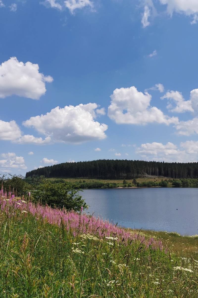
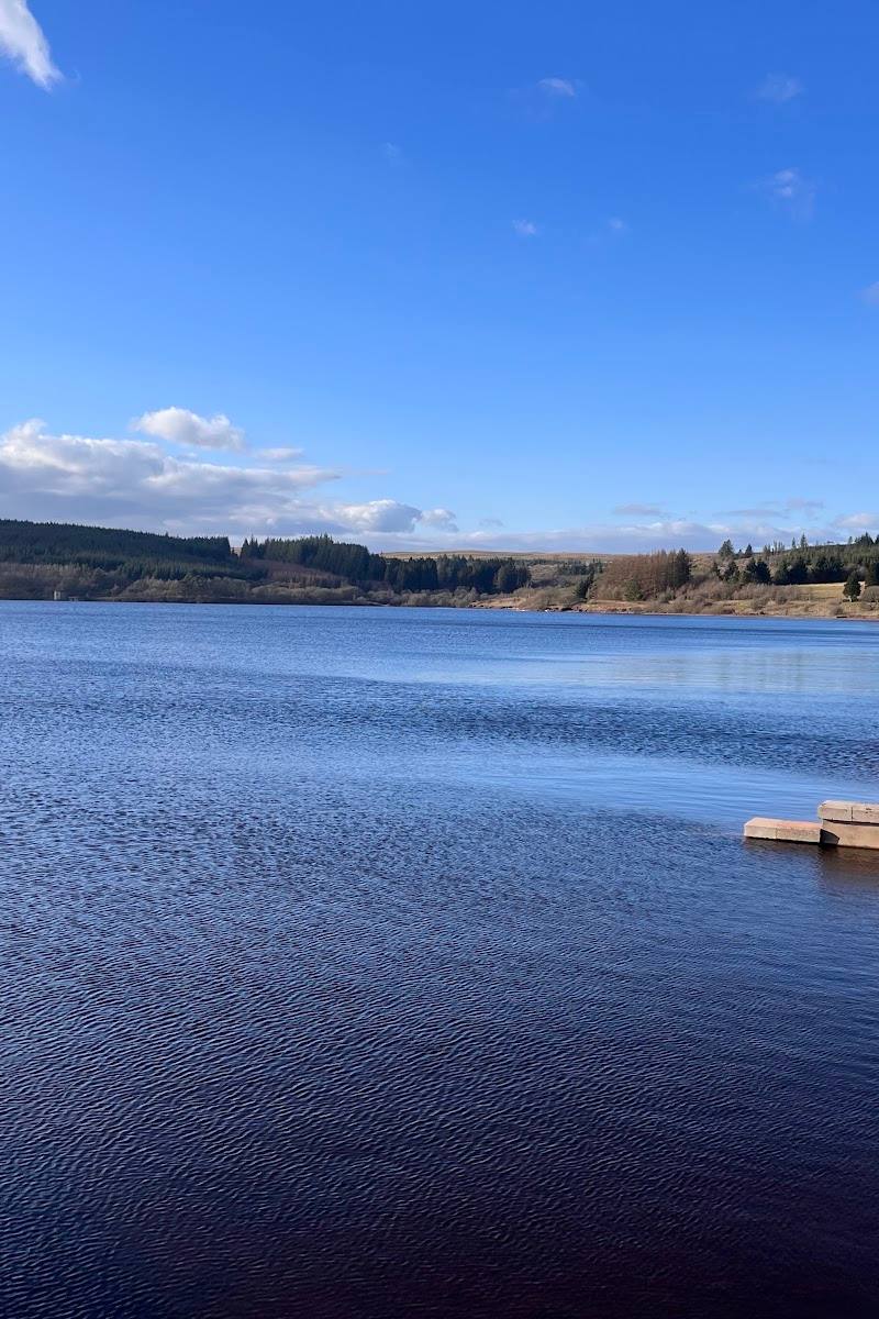
7.3A remote upland reservoir set beneath the Black Mountain, with a circuit that moves between open water, Glasfynydd Forest and exposed moorland.
The appeal here is the combination: a substantial reservoir, forest-edge tracks and open mountain views in a remote setting. The circular walk makes it more than a viewpoint stop, while the dark, open landscape gives the place a strong after-dark character.
Peaceful · Remote · Big-sky · Wild
Find your way
Open mapLD3 8YF, on the western edge of Bannau Brycheiniog National Park, Wales
Opening map…
Know this place a little better?
The experience
Walk part or all of the reservoir circuit, taking in the shoreline, Glasfynydd Forest and views towards the Black Mountain. For a longer visit, the National Park also identifies the area as a stargazing spot.
Things to do
Walk the reservoir circuit
Follow the circular route around the water, combining shoreline, forest track and open views. The National Park describes an 8 km circuit; another route source gives 5.2 miles.
About 2–2.5 hours according to AllTrails; allow longer if stopping
Take a shorter waterside walk
The National Park notes that shorter strolls are possible on tarmac and track sections. Choose an out-and-back suited to the time and conditions rather than assuming a short loop.
Look for a clear-night stargazing opportunity
The National Park identifies Usk Reservoir as a stargazing spot, noting that the hills help protect it from light pollution. Check weather, access and safe return arrangements before going after dark.
Make a day of it
Quick escape · Under 1 hour, depending on how far you walk
Quick Escape: walk the dam and shoreline
- 01
Start from a nearby car park or lay-by, checking the current access and parking situation.
- 02
Walk a short section of the reservoir-side track or across the dam, then return the same way.
- 03
Pause for views of the water and surrounding hills.
Half day · About 2–2.5 hours walking; allow extra time for stops
Make a half day of it: complete the reservoir circuit
- 01
Begin at the car park at the reservoir’s south-eastern tip, as described by AllTrails.
- 02
Follow the route north along the shoreline, then continue around the northern bend and through Glasfynydd Forest.
- 03
Cross Afon Sgio at the western end and return along the southern side.
- 04
Allow time to pause for the water, forest and mountain views; check the route and conditions before setting out.
Hidden details
A footbridge at the western end — On the AllTrails circuit description, the route crosses Afon Sgio by a small footbridge at the western end of the reservoir.
Look up after dark — The National Park highlights the reservoir as a place to stargaze, citing the surrounding hills as shelter from light pollution.
When to go
· Clear daylight for landscape views; after dark for stargazing, subject to safe access and conditions.
The supplied sources describe the circuit as suitable to visit at any time of year but do not identify specific seasonal highlights.
This is a remote upland setting. Check the forecast and route conditions before going; exposed sections and uneven or sloping tracks may be challenging in poor weather.
The route
- ascent
- 341 ft according to AllTrails
- surface
- Compacted-stone forestry tracks and tarmac roads; route also includes waterside paths
- distance
- 8 km (National Park source); 5.2 miles (AllTrails source)
- duration
- About 2–2.5 hours according to AllTrails; National Park source does not specify a reliable duration
- difficulty
- National Park grade 3, described as challenging; AllTrails describes it as moderate
- waymarking
- AllTrails describes the route as clearly waymarked; verify current waymarking on site
- route shape
- Circular
- start point
- AllTrails describes a start at the car park at the south-eastern tip of the reservoir.
- parking start
- Several small car parks and lay-bys are reported in the area. National Park postcode LD3 8YF; OS grid reference SN834286.
- shorter alternative
- The National Park notes that shorter strolls are possible on tarmac and tracks; no specific shorter loop is documented in the supplied sources.
- Reservoir shoreline and open-water views
- Glasfynydd Forest
- Views towards the Black Mountain
- Afon Sgio footbridge at the western end
What to look for
Look for the contrast between the open reservoir and the forested shoreline, then turn towards the Black Mountain from the northern side. At the western end, the route crosses Afon Sgio by a small footbridge.
Best time to go
Suitable to visit year-round; choose a clear day for mountain views and check conditions before walking.
Choose a clear day for views across the water to the surrounding hills. For stargazing, go after dark on a clear night and plan your return safely.
How long to spend
2–3 hours for the reservoir circuit; allow longer for stops
Perfect for
Walkers · Cyclists · Photographers · Wildlife lovers
Before you go
Address
Google rating
Practical information
Opening & access
A remote reservoir with several small car parks and lay-bys nearby. The reservoir circuit is described by the National Park as a walking and cycling route. Check current access and conditions before setting out.
Check before visiting
Parking
Several small car parks and lay-bys are reported in the area. The National Park gives postcode LD3 8YF and OS grid reference SN834286. Check conditions and space before travelling.
Check before visiting
Toilets
Check before visiting
Check before visiting
Food & drink
Check before visiting
Check before visiting
Dogs
One route source describes the walk as suitable for dogs; check current local guidance and signage.
Check before visiting
Accessibility
The circular route is undulating, with longer slopes and a mix of compacted-stone forestry tracks and tarmac roads. No public transport access is reported by the National Park; check current route conditions and suitability before visiting.
Check before visiting
Cost
Check before visiting
Check before visiting
Water
Reservoir
Gallery
Place photographs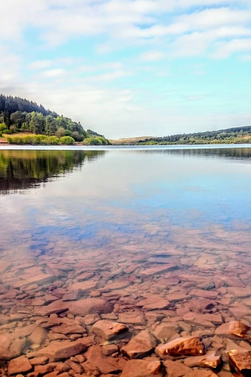
Keep exploring
Around Usk Reservoir
Within 50 km · approximate straight-line distances

 Place photograph6.8
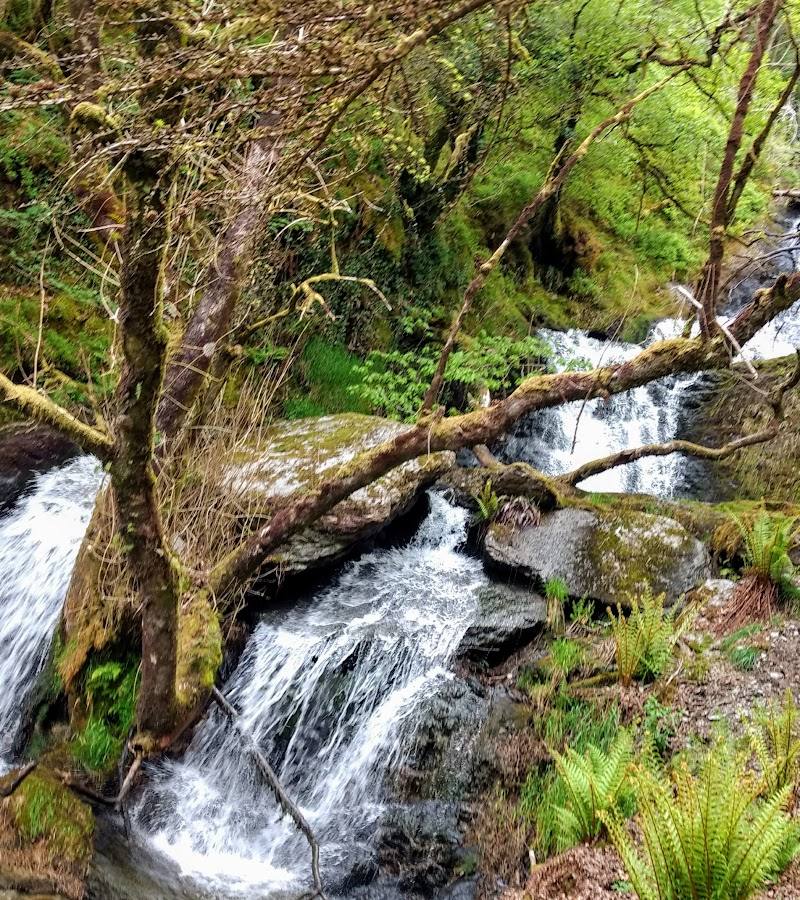
Cwm Rhaeadr Forest
Cwm Rhaeadr Forest, near Llandovery, Carmarthenshire, Wales
14.7 km away
 Place photograph8.2
Henrhyd Falls
Near Coelbren, Bannau Brycheiniog (Brecon Beacons), Wales
17.0 km away
 Place photograph5.6
Storey Arms Outdoor Education Centre
Libanus, near Brecon, Powys LD3 8NL
18.2 km away
 Place photograph7.3
RSPB Gwenffrwd-dinas
Near Rhandirmwyn and Cilycwm, Carmarthenshire, Wales
18.8 km away