South Norwood, London
South Norwood Country Park
Mixed-habitat reserve
Source image
5.8
Wildland
1–2 hours
Time
Check
Cost
Wild
Feel
Why it's Wildland
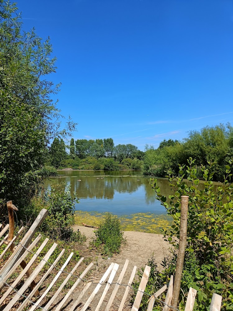
5.8A former sewage farm, transformed into a country park of wetland, lake and wildflower meadows, with more than 100 bird species recorded each year.
This is a substantial patch of wetland nature within London, with a layered landscape and a notable bird record. Its past as a sewage farm is part of the story; the current draw is the contrast of lake, wet meadow and wildflower habitat.
Wild · Peaceful
Find your way
Open mapSouth Norwood, London
Opening map…
Know this place a little better?
The experience
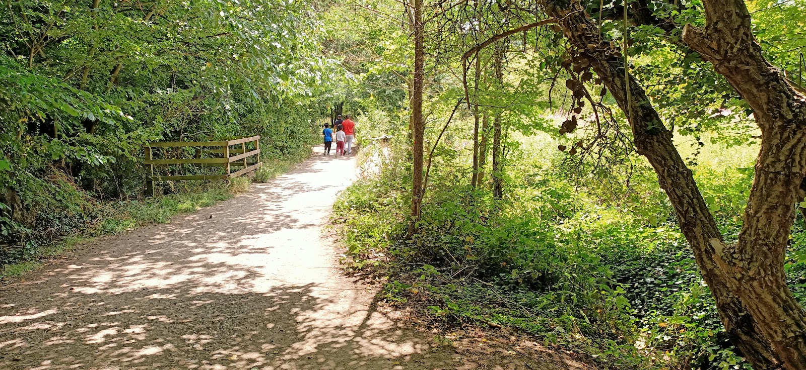
Explore the park’s wetland and lake landscape, look for birds and wildflowers, and use the council’s park map to plan your visit. The available evidence supports a straightforward visit, but not a prescribed route or a full-day itinerary.
Things to do
Look for birds over the wetlands
The council reports more than 100 different bird species sighted each year and says the large wetlands attract a wide variety of birds. No particular species or viewing season is verified here.
Visit the viewing mound
The council lists a viewing mound among the park’s features; check current on-site access and conditions.
Walk through the wildflower meadows
Wildflower meadows are listed among the park’s habitats and features. Specific flower species and peak dates are not verified.
Make a day of it
Quick escape · 1–2 hours
Quick wetland visit
- 01
Start from an open park entrance; the supplied map pin marks the lake, not an entrance.
- 02
Walk through the park towards the lake and wetland, following current on-site signs.
- 03
Pause at the viewing mound and look across the wetland for birds.
- 04
Check the council’s park map and current facility notices before setting out.
Verified history
The site was a sewage farm from the mid-19th century until it fell into disuse in 1966. It was designated Metropolitan Open Land in 1982. Croydon Council says the country park opened in 1989, following the creation of the pond and wet meadow; it is now a local nature reserve.
Hidden details
A landscape with an industrial past — The park occupies the former site of a sewage farm, used from the mid-19th century until 1966. The present wetland landscape followed the site’s conversion into a park.
A notable local bird record — Croydon Council reports more than 100 bird species sighted each year, with the large wetlands attracting a wide variety of birds. The supplied evidence does not name individual species.
When to go
The supplied sources do not identify the best months or seasonal wildlife peaks.
Check conditions before visiting; path surfaces and weather-related restrictions are not described in the supplied sources.
What to look for
- 01
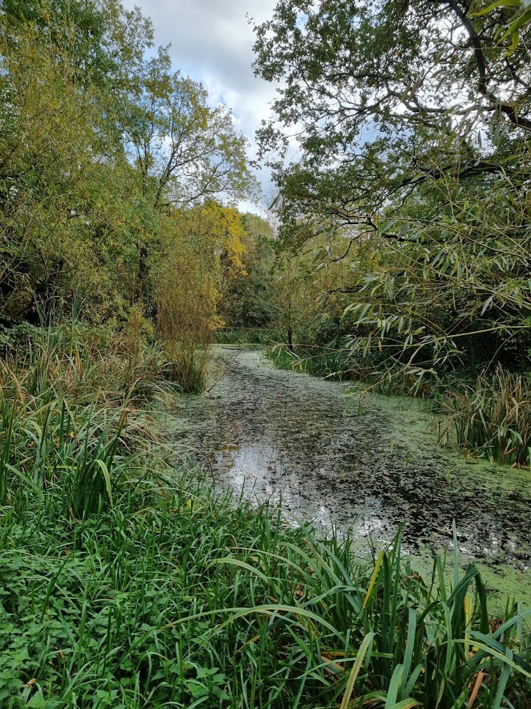
The lake and wet meadow
- 02
wildflower meadows
- 03
the viewing mound
- 04
and birds using the wetlands. Croydon Council reports more than 100 bird species sighted annually.
The story
Former sewage farm; Metropolitan Open Land designation; country park and local nature reserve
Best time to go
Check locally for seasonal wildlife and access updates; the supplied evidence does not identify a peak season.
No specific best time of day is verified in the supplied sources. Check current conditions and facilities before setting out.
How long to spend
1–2 hours
Perfect for
Walkers · Wildlife lovers · Families · Photographers
Before you go
Address
Phone
Website
Google rating
Practical information
Opening & access
Croydon Council lists the site as a 125-acre country park and local nature reserve. Check current access information before visiting.
Check before visiting
Parking
Croydon Council lists a car park and designated disabled bays; confirm current availability before travelling.
Toilets
Council lists toilets, including facilities for RADAR keyholders, but says they are currently closed during refurbishment.
Food & drink
The Kiosk Community Café is listed as open on Saturdays, 9am–2pm; check current status before visiting.
Check before visiting
Dogs
Check current park signage and council guidance before visiting with a dog.
Check before visiting
Accessibility
Council lists designated disabled parking bays and RADAR-key toilets, currently closed during refurbishment. Path accessibility is not established by the supplied evidence.
Cost
Check before visiting
Check before visiting
Water
Lake and wetland. Swimming and paddling permission are not verified; do not assume either is allowed.
Gallery
Place photographsKeep exploring
Around South Norwood Country Park
Within 50 km · approximate straight-line distances