8.7
Wildland
1–2 hours
Time
Check
Cost
Dramatic
Feel
Why it's Wildland
8.7In 1788, James Hutton and his companions examined the meeting of two very different rock layers here: older rocks tilted almost vertically, capped by younger sandstone. The visible junction became a landmark in the story of how people came to understand geological deep time.
Siccar Point makes an immense span of geological time visible in a single coastal outcrop. Its steep, exposed setting and the sharply contrasting rock layers give this short visit a rare combination of scientific significance and wild coast atmosphere.
Dramatic · Wild · Atmospheric
Find your way
Open mapNear Cockburnspath, Scottish Borders
Opening map…
Know this place a little better?
The experience
Allow around 1–2 hours for the coastal approach and viewpoints, with extra time to study the outcrop. The supplied sources describe a short trail and a steep route down to the shore; check current access and conditions. Swimming or paddling access is not established.
Things to do
Read the unconformity in the rocks
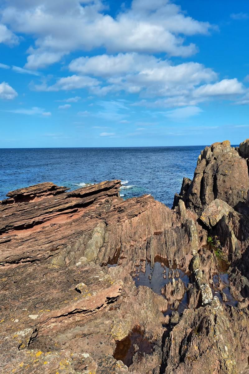
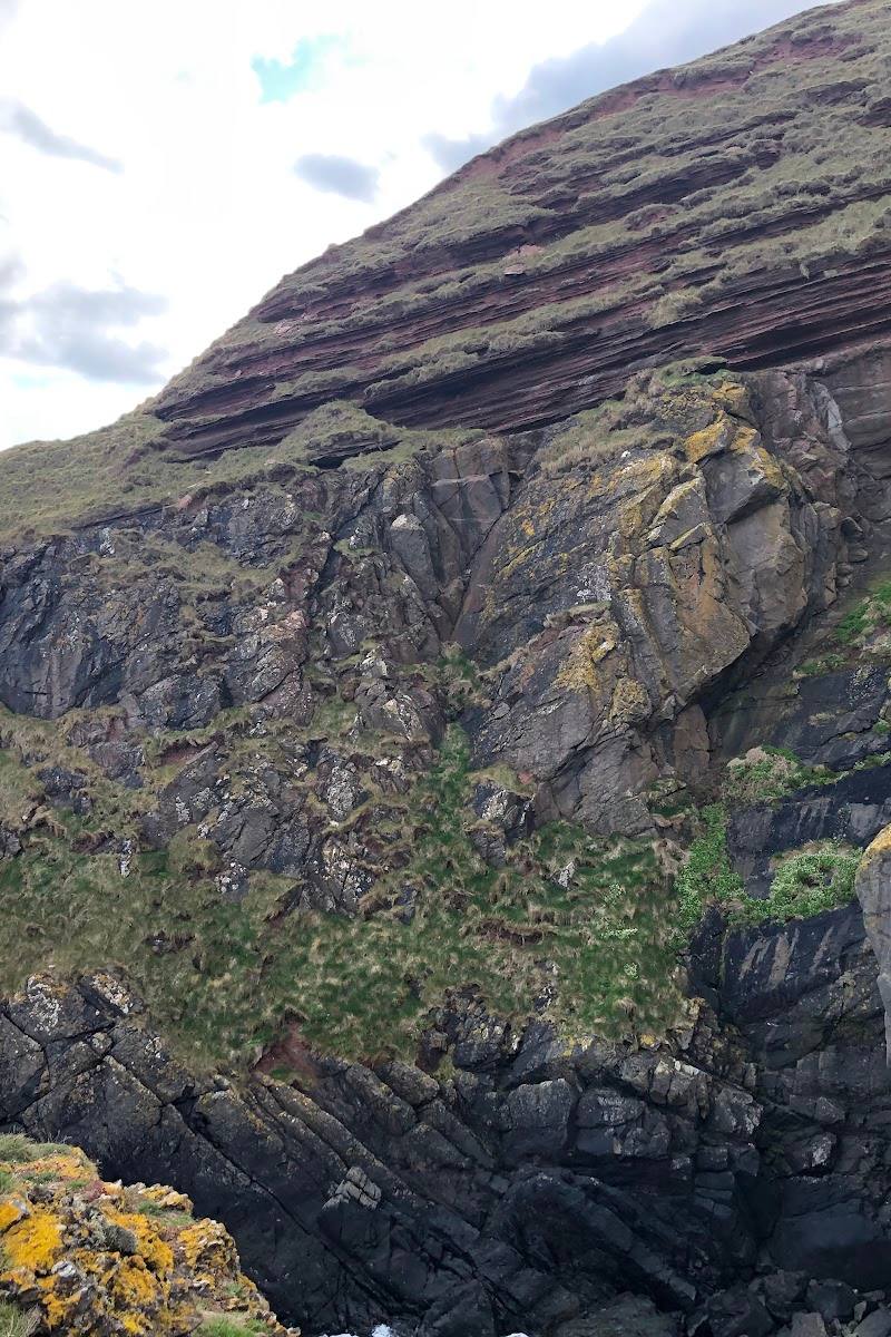
Look for the contact between older, near-vertical greywacke and younger, gently dipping Old Red Sandstone: the feature that made Siccar Point famous in the history of geology.
Allow time at the viewpoints; exact duration not specified
Follow the Deep Time Trail
Walk the short coastal trail to a viewpoint above Siccar Point. Geowalks describes information boards and audio clips explaining Hutton’s story, with two viewpoints of the unconformity.
Short trail; exact duration not specified
Look out across the Borders coast
Take in the contrast between the steep, rugged coast to the south and the lower, more gently rolling landscape inland and to the north and west.
Make a day of it
Quick escape · About 1–2 hours; exact duration not confirmed
Quick Escape: see the unconformity
- 01
Follow the coastal trail towards the Siccar Point viewpoints.
- 02
Pause at the viewpoint to take in the coast and identify the contrasting rock layers.
- 03
Only continue down to the shore if the route is open and conditions are safe; the descent is described as very steep.
Half day · Half day; suggested, not a verified itinerary
Make a half day of it: follow the geological story
- 01
Take time on the Deep Time Trail and use its information boards and audio clips to follow the story of James Hutton and the rocks.
- 02
View the unconformity from the trail viewpoints; compare the older tilted layers with the younger sandstone.
- 03
If access and conditions allow, continue towards the shore for a closer view, allowing for the reported steep descent.
- 04
Before or after the visit, consider Dunglass Collegiate Church, a nearby heritage stop mentioned in a supplied visitor account; verify access and opening arrangements.
Verified history
In 1788, James Hutton visited Siccar Point with John Playfair and Sir James Hall. The exposed junction between older, steeply tilted rocks and younger sandstone supported Hutton’s argument for an ancient Earth shaped by processes operating over immense spans of time. Playfair later described the effect of contemplating this depth of time as making “the mind seem to grow giddy”.
Hidden details
Two rock stories meet at one boundary — The key detail is the change in angle: older greywacke strata stand steeply tilted, while younger sandstone layers lie at a gentler angle above them. That visible contrast is the unconformity.
The landscape changes with the underlying rock — Geowalks notes a contrast between the rugged, steep coast to the south and the lower, more agricultural landscape to the north and west, reflecting differences in the underlying rocks.
When to go
· No source-backed time-of-day recommendation; check the forecast and coastal conditions before visiting.
The supplied sources do not establish seasonal highlights or a best month.
This is an exposed coastal setting. Check the forecast and current path conditions; a visitor account describes a very steep descent to the shore.
The route
- surface
- Grassy trail, according to the supplied Tripadvisor excerpt; verify current conditions.
- distance
- The Deep Time Trail is described as 1.3 km from the nearest road; route measurement and return distance are not specified.
- duration
- Short trail; exact duration not specified
- difficulty
- The trail to the viewpoint is described as mostly level; the descent to the shore is reported as very steep.
- start point
- Nearest road; exact start point and directions should be checked against the Deep Time Trail information.
- parking start
- Check before visiting; a visitor account mentions a small parking area but this is not confirmed by an authoritative access source.
- Deep Time Trail information boards and audio clips
- Two viewpoints of the geological unconformity
- Coastal scenery above Siccar Point
Worth pairing with
Dunglass Collegiate Church
A ruined collegiate church described in a visitor account as a nearby heritage stop, with a reported connection to Sir James Hall and the 1788 geological expedition. Verify current access before making a detour.
Cockburnspath
The nearby village is described in a visitor account as the eastern end of the Berwickshire Coastal Path and other long-distance routes. The same account notes a round tower on the parish church and the village’s Market Cross; verify details and access locally.
What to look for
At the unconformity, look for older, steeply tilted greywacke beneath younger, more gently dipping red sandstone. The contrast records a long interval between the formation of the two rock sequences.
The story
Geology; the history of ideas about the age of the Earth
Best time to go
The supplied sources do not identify a best season. Choose a clear, settled day for coastal views and check conditions before visiting.
No specific season or time of day is established by the supplied sources. A clear day should make the coastal setting easier to appreciate; check weather and access before travelling.
How long to spend
1–2 hours
Perfect for
Walkers · Photographers · History lovers
Before you go
Address
Google rating
Practical information
Opening & access
A coastal path leads to viewpoints above Siccar Point. The final descent to the shore is described as steep; check current access and conditions before setting out.
Check before visiting
Parking
Check before visiting
Check before visiting
Toilets
Check before visiting
Check before visiting
Food & drink
Check before visiting
Check before visiting
Dogs
Check before visiting
Check before visiting
Accessibility
The Geowalks source describes the Deep Time Trail to a viewpoint as short and level. Access down to the shore is described in a visitor account as very steep; do not assume the shoreline is accessible to all visitors.
Cost
Check before visiting
Check before visiting
Water
Sea
Gallery
Place photographs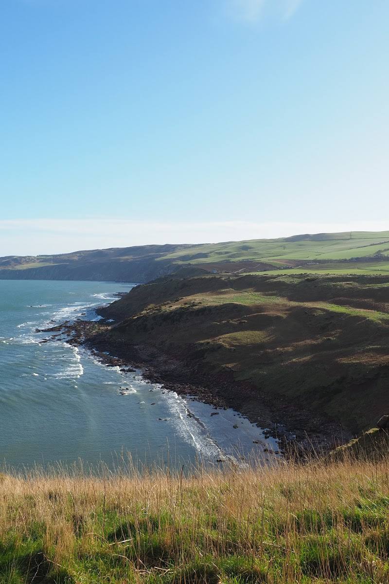
Keep exploring
Around Siccar Point
Within 50 km · approximate straight-line distances
 Place photograph7.1
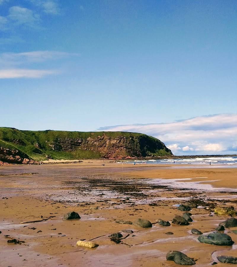
Pease Dean Woodland Walk
Pease Dean, near Cockburnspath, Scottish Borders
1.9 km away
 Place photograph8.3
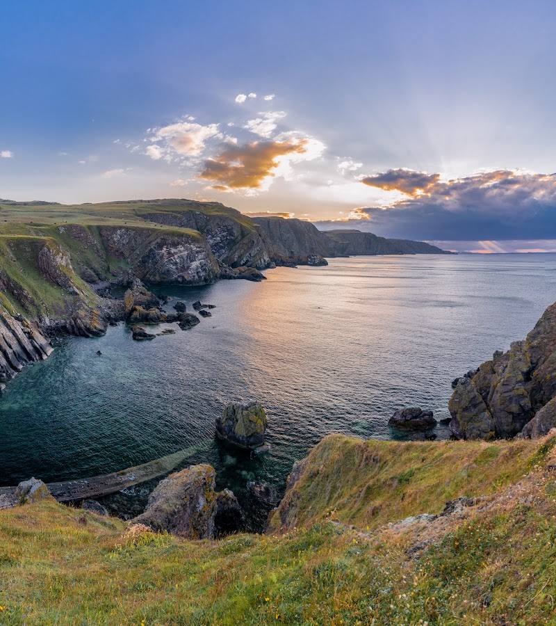
St Abb’s Head National Nature Reserve
Near St Abb’s, Eyemouth, Scottish Borders
10.1 km away

 Place photograph7.4
Norham Castle
Castle Street, Norham, near Berwick-upon-Tweed, Northumberland TD15 2JY
25.2 km away