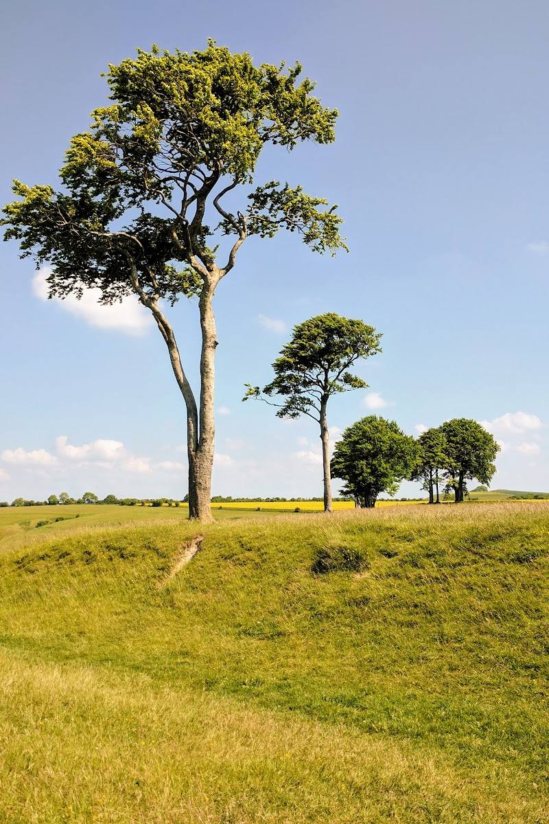
Roundway Down, near Devizes, Wiltshire, SN11 0PW
Roundway Down Iron Age Hill Fort
Prehistoric
Place photograph
6.3
Wildland
1–2 hours
Time
Check
Cost
Dramatic
Feel
Why it's Wildland
6.3A prehistoric hillfort crowns chalk downland that later became the scene of a violent Civil War rout. Its earthworks, steep escarpment and wide views make the landscape itself part of the story.
The appeal is the meeting of open chalk downland, a hillfort’s earthworks and a battlefield landscape whose steep edge shaped the events of 1643. Walking accounts describe open views and paths extending into nearby woodland, but access details should be checked before setting out.
Dramatic · Big-sky · Atmospheric
Find your way
Open mapRoundway Down, near Devizes, Wiltshire, SN11 0PW
Opening map…
Know this place a little better?
The experience
Explore the hillfort and its surrounding downland on foot, taking time to read the shape of the ramparts and look out across the chalk landscape. The area is also associated with the 1643 Battle of Roundway Down.
Things to do
Walk around the hillfort earthworks
Where access permits, follow the path around Oliver’s Castle and look for the bank and ditch enclosing the promontory.
Allow time within a 1–2 hour visit
Look for the dew pond
A dew pond survives within the hillfort ramparts. The source describes it as providing water for sheep and probably originating in the 18th century.
Take in the views from the Down
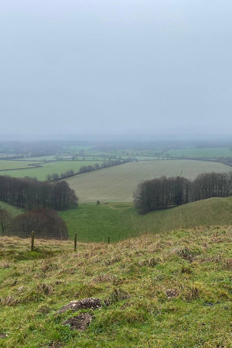
The elevated chalk downland and hillfort setting offer broad views across the surrounding landscape.
Walk into the adjacent Covert
A local account describes continuing from the open Down into the nearby Covert for shade and a different feel to the walk.
Make a day of it
Quick escape · 1–2 hours
Quick Escape: Hillfort and downland views
- 01
Check current access and parking information before setting out; the supplied map pin is not an entrance or parking location.
- 02
Follow an available path to the hillfort and walk around the earthworks where access permits.
- 03
Pause to take in the views and notice the steep edge associated with the Bloody Ditch.
Half day · Half day
Half Day: Downland, hillfort and Covert
- 01
Check current access, route conditions and parking before travelling.
- 02
Walk across the Down to the hillfort, taking time to examine its bank and ditch and the surviving pond within the ramparts.
- 03
Continue into the adjacent Covert for a change from exposed grassland to woodland, then return by a path appropriate to current conditions.
Verified history
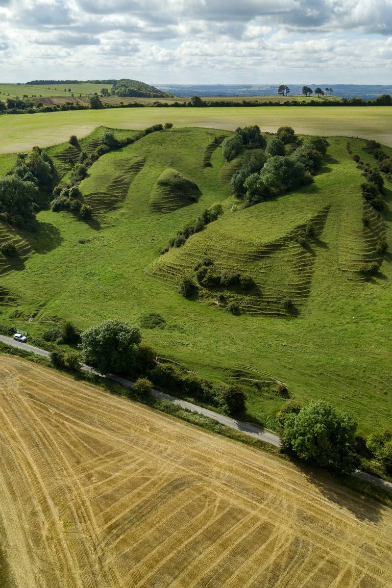
Oliver’s Castle is an Iron Age hillfort on the edge of the downs. Its bank and ditch enclose a promontory and respect two earlier Bronze Age burial mounds. Excavations in the late 19th century found little trace of settlement, leaving its precise use uncertain: it may have offered refuge or served ceremonial purposes. A dew pond survives within the ramparts. The wider landscape also preserves evidence of earlier activity, including burial mounds. On 13 July 1643, Roundway Down became the setting for a Civil War battle. The retreating Parliamentarian cavalry and pursuing Royalists rode over the steep western edge, a place remembered as the Bloody Ditch.
Folklore & legend
The hillfort’s prominent position has prompted the suggestion that it may have been used for ceremonies, perhaps bringing people closer to the gods. This is a possible interpretation, not an established fact.
Hidden details
A pond inside the ramparts — Look for the surviving dew pond within the hillfort. The Wiltshire and Swindon History Centre says it probably originated in the 18th century and was used to water sheep.
The hillfort sits among older burial mounds — The ramparts respect two earlier Bronze Age burial mounds, part of a wider landscape containing prehistoric barrows.
The steep edge behind the battlefield name — The western escarpment is associated with the rout of 1643 and the name Bloody Ditch. Take care near steep slopes.
When to go
· A clear, relatively calm day; the Down is exposed and visitors report it can be windy.
The available sources describe the Down as walkable through the seasons but exposed, with ground that can be slippery. No specific seasonal wildlife or flowering peak is evidenced.
The hilltop is exposed to wind. Avoid assuming paths will be dry: visitor reports describe slippery ground, and walking accounts note steep sections. Check conditions before visiting.
Worth pairing with
Devizes White Horse
A nearby chalk hillside figure is mentioned in local walking accounts as a possible addition to a longer Roundway outing. Verify access and route details before combining the visits.
What to look for
- 01
Look for the hillfort’s bank and ditch enclosing a promontory
- 02
the surviving dew pond within the ramparts
- 03
the steep western edge associated with the Bloody Ditch
- 04
and the broad views across the surrounding landscape.
The story
Prehistoric hillfort and the English Civil War
Best time to go
All seasons; choose a dry, calm day for walking the exposed Down.
A dry, relatively calm day is preferable: the hilltop is exposed, and sources describe slippery ground in places. Clear weather should help with the views.
How long to spend
1–2 hours
Perfect for
Walkers · History lovers · Photographers
Before you go
Address
Google rating
Practical information
Opening & access
A local walking account describes access from paths across the Down and Covert, with a car park reached by a single-track lane and gravel road. Public access and current conditions are not independently confirmed; check before visiting. The accepted map pin marks the place, not an entrance or parking point. Access arrangements are unconfirmed. Check before visiting; do not enter private land or restricted structures.
Check before visiting
Parking
A source describes a car park reached via a single-track lane and gravel road; verify access and parking before travelling. The supplied map pin is not a parking pin.
Check before visiting
Toilets
Check before visiting
Check before visiting
Food & drink
Check before visiting
Check before visiting
Dogs
Check before visiting
Check before visiting
Accessibility
The available walking accounts describe steep slopes and uneven or potentially slippery ground. The supplied accessibility information reports no wheelchair-accessible car park or entrance; check current conditions and access before visiting.
Check before visiting
Cost
Check before visiting
Check before visiting
Gallery
Place photographs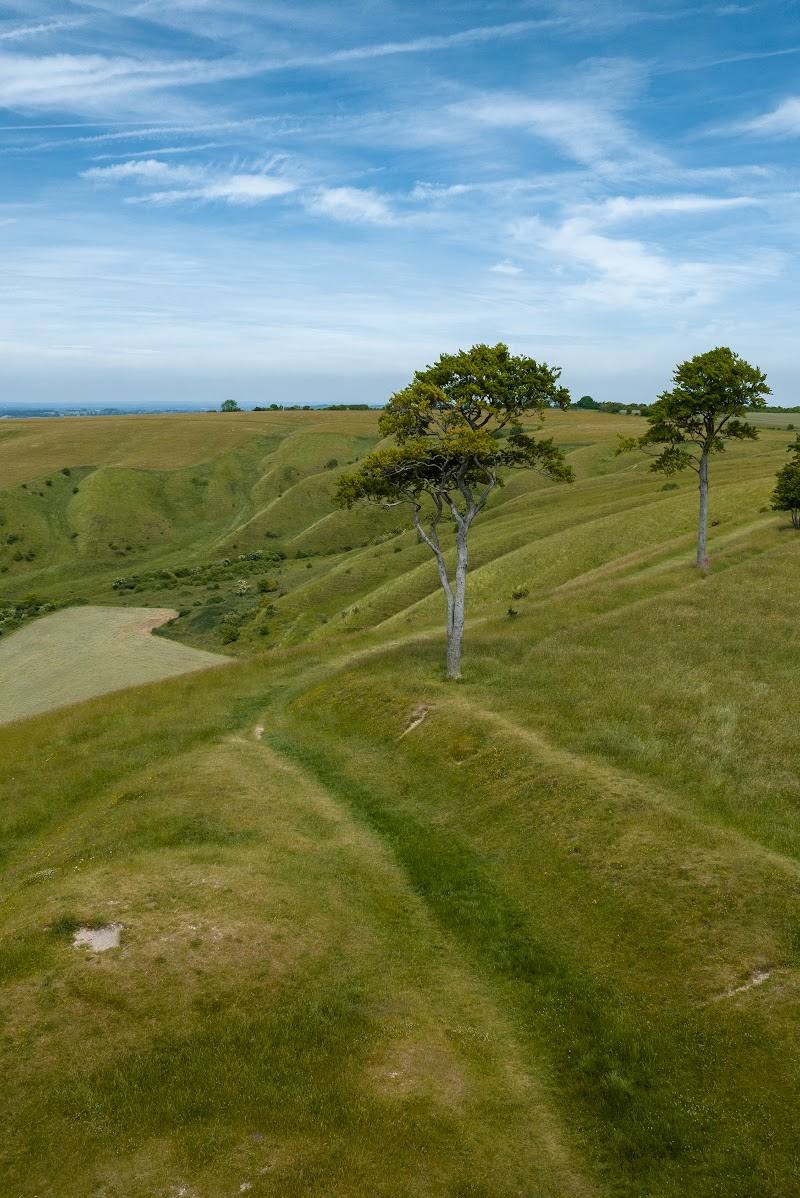
Keep exploring
Around Roundway Down Iron Age Hill Fort
Within 50 km · approximate straight-line distances