6.1
Wildland
1–2 hours to Half day
Time
Check
Cost
Peaceful
Feel
Why it's Wildland
6.1Regent’s Park turns a former royal hunting ground into a grand London landscape of sweeping lawns, formal gardens and tree-lined walks. Follow the seasonal route through its gardens and fountains, then continue to Primrose Hill for a wide view across the city.
Regent’s Park earns its place for the contrast between formal gardens and broad, leafy parkland in the middle of London. The Royal Parks’ mapped walk links fountains, Queen Mary’s Garden, the boating lake and Primrose Hill, making this more than a quick stroll through open green space.
Peaceful · Grand · Family-buzz
Find your way
Open mapMarylebone Road, London NW1 5HA
Opening map…
Know this place a little better?
The experience
Choose a short wander among the gardens and parkland, or follow the Royal Parks’ 4.9-mile autumn route through garden landmarks to Primrose Hill. Extend the day with the canal-side walk towards Camden, checking routes and facilities before setting out.
Things to do
Walk the Royal Parks autumn route
Follow the mapped 4.9-mile route through formal gardens, tree-lined avenues and parkland to Primrose Hill. The route can be joined at a convenient point and has shorter loops.
1 hour 51 minutes at a relaxed pace, according to the published route
Explore the Avenue and English Gardens
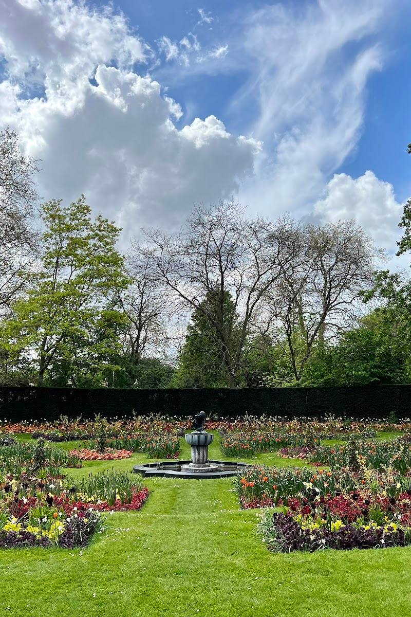
See the formal Victorian garden, geometric beds, seasonal planting and ornamental fountains.
Visit Queen Mary’s Garden
Wander the garden’s rose collections, borders and pathways. The supplied heritage guide describes the roses as at their fragrant best in June and July.
Take in the view from Primrose Hill
Climb the route’s slopes to the viewpoint for sweeping views across the London skyline.
See the Ready Money Drinking Fountain
Pause at the ornate 19th-century drinking fountain, set among mature trees.
Walk beside Regent’s Canal
A supplied visitor guide recommends following the canal along the park’s northern edge towards Camden, past boats and Georgian buildings.
Make a day of it
Quick escape · 1–2 hours
A garden-and-fountain stroll
- 01
Enter the park at a convenient entrance.
- 02
Explore the Avenue and English Gardens, including their fountains and seasonal planting.
- 03
Continue to the Ready Money Drinking Fountain and pause among the mature trees.
Half day · About 2 hours at a relaxed pace for the published route
Gardens, lake and Primrose Hill
- 01
Follow the Royal Parks’ autumn walk through the gardens and parkland.
- 02
Visit Queen Mary’s Garden and the Boating Lake on the way.
- 03
Continue to Primrose Hill for the city view; the published route is 4.9 miles and mostly flat apart from slopes at Primrose Hill.
Full Wildland day · Full day
A full park-and-canal day
- 01
Explore Regent’s Park’s gardens and parkland, using the Royal Parks’ route as a framework.
- 02
Add a walk along Regent’s Canal towards Camden, as described by the supplied visitor guide.
- 03
Allow time for breaks; check opening, route and facility details before setting out.
Verified history
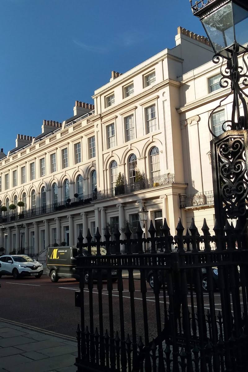
The supplied heritage account says the land was once a hunting ground associated with Henry VIII and was bought by the Prince Regent in 1811, who planned a palace and villas. The palace was never built; grand crescents were developed instead. The park’s design is associated with John Nash.
Hidden details
The Ready Money Drinking Fountain — Look closely at this ornate 19th-century fountain, identified by the Royal Parks as a landmark stop on its autumn route.
The Japanese Garden — The Royal Parks route highlights a Japanese Garden within Queen Mary’s Garden; seek it out among the formal garden spaces.
When to go
April · May · June · July · October · Daylight; choose a clear day for the Primrose Hill skyline view.
Spring and summer bring garden interest, with the supplied heritage account naming June and July for the roses. The Royal Parks’ route specifically describes autumn colour in the gardens and parkland.
The Primrose Hill section has slopes. Check the forecast and current route information before setting out.
The route
- distance
- 4.9 miles
- duration
- 1 hour 51 minutes at a relaxed pace
- difficulty
- Mostly flat, with slopes up and down from Primrose Hill
- route shape
- Route can be followed in either direction and joined at a convenient point; shorter loops are available.
- start point
- Join at whichever point is most convenient; the Royal Parks route map shows the route and stops.
- parking start
- Check before visiting.
- shorter alternative
- Use one of the shorter loops leading off the main route, or visit a convenient section only.
- The Avenue and English Gardens
- Ready Money Drinking Fountain
- Primrose Hill viewpoint
- Winter Gardens
- Boating Lake
- Queen Mary’s Garden
Worth pairing with
Primrose Hill
A viewpoint included at the end of the Royal Parks’ 4.9-mile route, with views across London.
Regent’s Canal towards Camden
A canal-side walk along the park’s northern edge is suggested by the supplied visitor guide as an extension to a park visit.
What to look for
Look for the ornate Ready Money Drinking Fountain, the fountains and formal planting of the Avenue Gardens, the Japanese Garden and the rose collections in Queen Mary’s Garden. From Primrose Hill, take in the skyline view.
The story
Royalty
Best time to go
Spring to autumn; roses are especially associated with June and July, while autumn brings seasonal colour along the gardens and avenues.
For gardens and seasonal colour, visit during daylight and check the Royal Parks’ current opening information. The Royal Parks highlights June and July for the roses; its mapped walk describes autumn colour.
How long to spend
1–2 hours to Half day
Perfect for
Families · Couples · Walkers · Photographers · History lovers
Before you go
Practical information
Opening & access
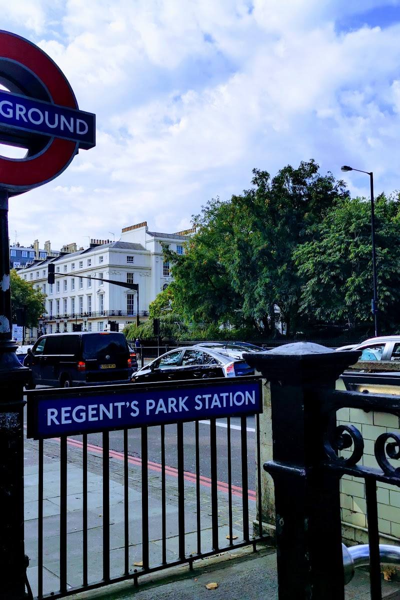
A public Royal Park with multiple pedestrian entrances. Check current access information and seasonal closing times before visiting; the named Regent’s Park Underground station is on Marylebone Road.
Check before visiting
Parking
Check before visiting.
Check before visiting
Toilets
Check before visiting.
Check before visiting
Food & drink
The Royal Parks route lists Regent’s Bar and Kitchen and Broad Walk Café; check current opening arrangements before visiting.
Check before visiting
Dogs
Check before visiting.
Check before visiting
Accessibility
The supplied TfL station information lists lifts at Regent’s Park Underground station. Route accessibility and park facilities should be checked before visiting.
Check before visiting
Cost
Check before visiting
Check before visiting
Water
Lake
Gallery
Place photographs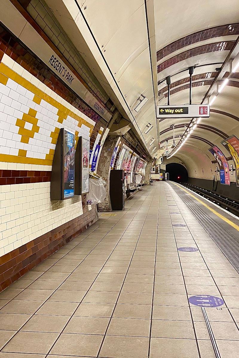
Keep exploring
Around Regent’s Park
Within 50 km · approximate straight-line distances

 Place photograph6.4
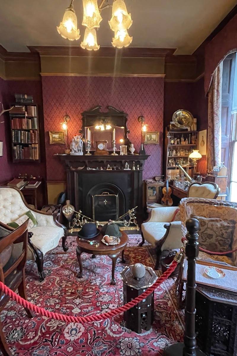
The Sherlock Holmes Museum
221B Baker Street, Marylebone, London NW1 6XE
0.8 km away
 Place photograph7.6
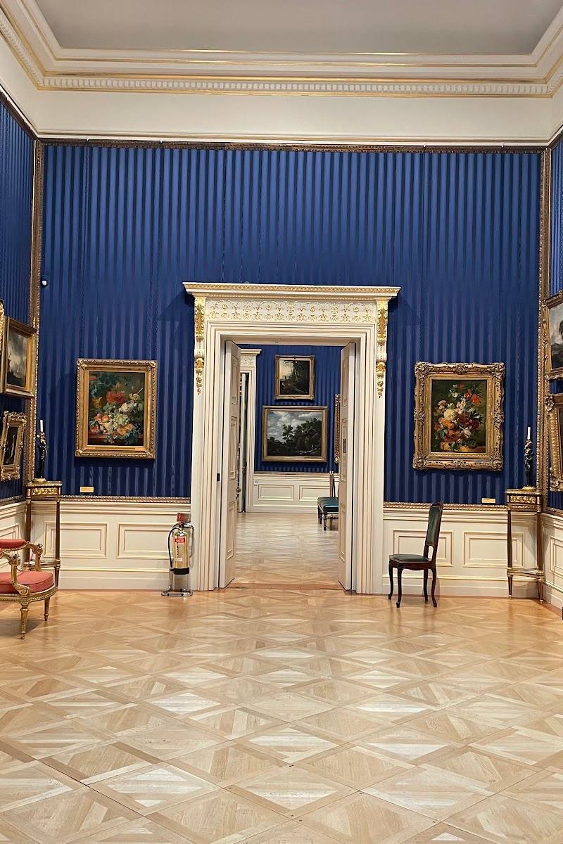
The Wallace Collection
Hertford House, Manchester Square, London W1U 3BN
0.8 km away