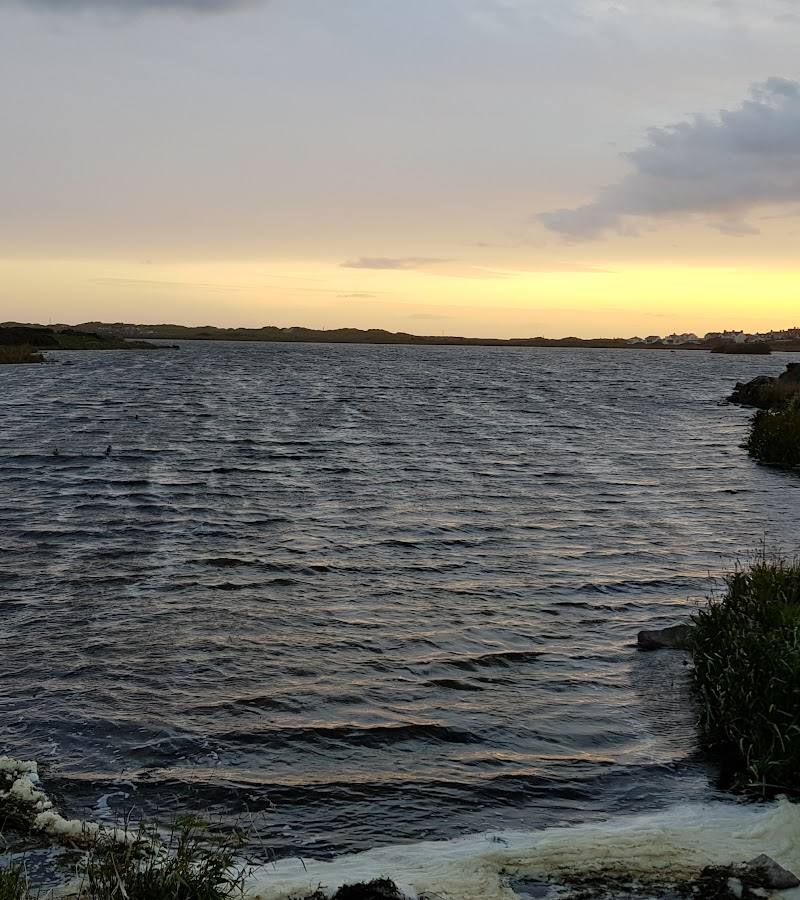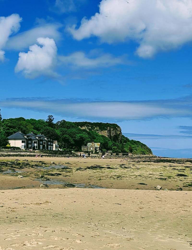
Red Wharf Bay, near Pentraeth, Anglesey, Wales
Red Wharf Bay
Beach
Place photograph
7.2
Wildland
1–2 hours
Time
Check
Cost
Big-sky
Feel
Why it's Wildland
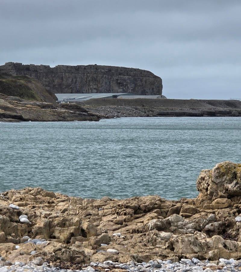
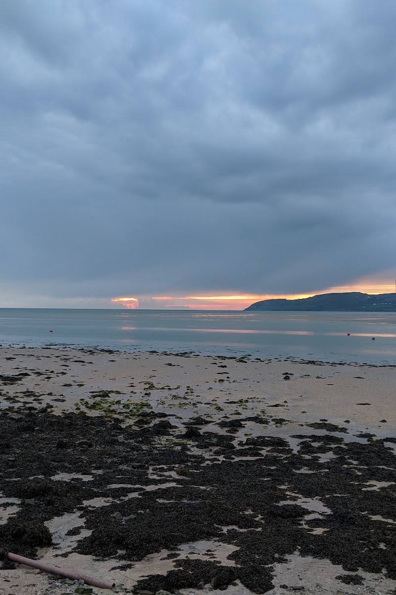
7.2Known in Welsh as Traeth Coch, Red Wharf Bay changes dramatically with the tide: a wide shoreline gives way at low water to extensive exposed sand and tidal flats, backed by dunes and salt marsh.
The appeal here is the scale and constant change: at low tide the bay opens into a remarkable sweep of sand and feeding flats, with a coastal path and wooded ground inland. The fast incoming tide makes tide awareness essential, not optional.
Big-sky · Peaceful · Wild
Find your way
Open mapRed Wharf Bay, near Pentraeth, Anglesey, Wales
Opening map…
Know this place a little better?
The experience
Plan around the tide rather than treating the beach as a fixed landscape. Take a short shoreline walk when conditions allow, watch the changing edge of the water, and keep to a safe route as the tide turns.
Things to do
Walk the low-water shoreline
When tide and conditions permit, explore a short stretch of the broad exposed sands. The bay’s appearance changes substantially with the tide; plan your return before the water comes in.
Around 60 minutes (editorial estimate from supplied guide)
Explore a section of the Anglesey Coastal Path
The coastal path passes the bay and offers a way to experience the shoreline in either direction. Check current route and tide conditions before choosing a section.
Around 2 hours (editorial estimate from supplied guide)
Watch for wading birds on the tidal flats
The exposed flats are described as feeding grounds for wading birds. Observe from a suitable position without disturbing wildlife.
Make a day of it
Quick escape · Around 1 hour (editorial estimate from supplied source)
Quick Escape: a low-tide shoreline look
- 01
Check tide times and local access information before leaving.
- 02
Walk a short section of the bay’s shoreline when conditions are safe.
- 03
Pause to take in the scale of the exposed sands and look for wading birds on the tidal flats.
- 04
Turn back with a safe margin before the incoming tide.
Half day · Around 2–3 hours (editorial estimate; route duration depends on tide and chosen section)
Make a Half Day of It: coast path and bay
- 01
Check tide times and the current coastal-path information before setting out; the supplied guide warns that the incoming tide is fast.
- 02
Walk a suitable section of the Anglesey Coastal Path by the bay, using the sands only when conditions allow.
- 03
Take time to observe the tidal flats, dunes and salt-marsh edge.
- 04
Finish with a meal or drink at one of the bay’s listed food stops; check current opening details before travelling.
Hidden details
A shoreline on a tide-sized scale — The supplied Tripadvisor page describes exceptionally extensive low-tide sands and tidal flats. The exposed area is the bay’s distinctive feature, but its exact extent and safe walking options depend on conditions and should be checked locally.
When to go
· Around low tide, with a safe margin before the incoming tide; check tide times before visiting.
The supplied sources do not establish a seasonal optimum. Tide state is the practical factor they emphasise.
Check local weather and tide conditions before setting out. The incoming tide is reported to be fast; do not rely on the beach remaining passable.
Worth pairing with
Pentraeth Forest
The supplied Tripadvisor description notes views from nearby Pentraeth Forest, making it a possible inland addition to a coastal visit. Check access and route details before planning.
The Ship Inn, Tavern on the Bay or the Boathouse
These are listed by the supplied guide as food stops at Red Wharf Bay. Check current opening information and whether booking is needed.
What to look for
- 01
The contrast between the exposed low-water sands and the bay at higher tide
- 02
the dunes and salt-marsh edge
- 03
and wading birds on the tidal flats, which the supplied source identifies as feeding grounds.
Best time to go
Check local conditions before visiting; the supplied sources do not identify a best season.
Low tide is the key time for seeing the broad exposed sands. Check reliable local tide information before you go and allow a safe margin before the water returns.
How long to spend
1–2 hours
Perfect for
Walkers · Photographers · Wildlife lovers
Before you go
Address
Practical information
Opening & access
A broad tidal bay with low-water sand and a section of the Anglesey Coastal Path. Check tide times and local access information before setting out; the incoming tide is reported to be fast.
Check before visiting
Parking
Check before visiting
Check before visiting
Toilets
Check before visiting
Check before visiting
Food & drink
The supplied guide lists food stops at Red Wharf Bay, including the Ship Inn, Tavern on the Bay and the Boathouse; check current opening and booking information.
Check before visiting
Dogs
Check before visiting
Check before visiting
Accessibility
Check before visiting; the bay’s sand and tidal conditions may affect access.
Check before visiting
Cost
Check before visiting
Check before visiting
Water
Sea, Estuary
Gallery
Place photographs
Keep exploring
Around Red Wharf Bay
Within 50 km · approximate straight-line distances