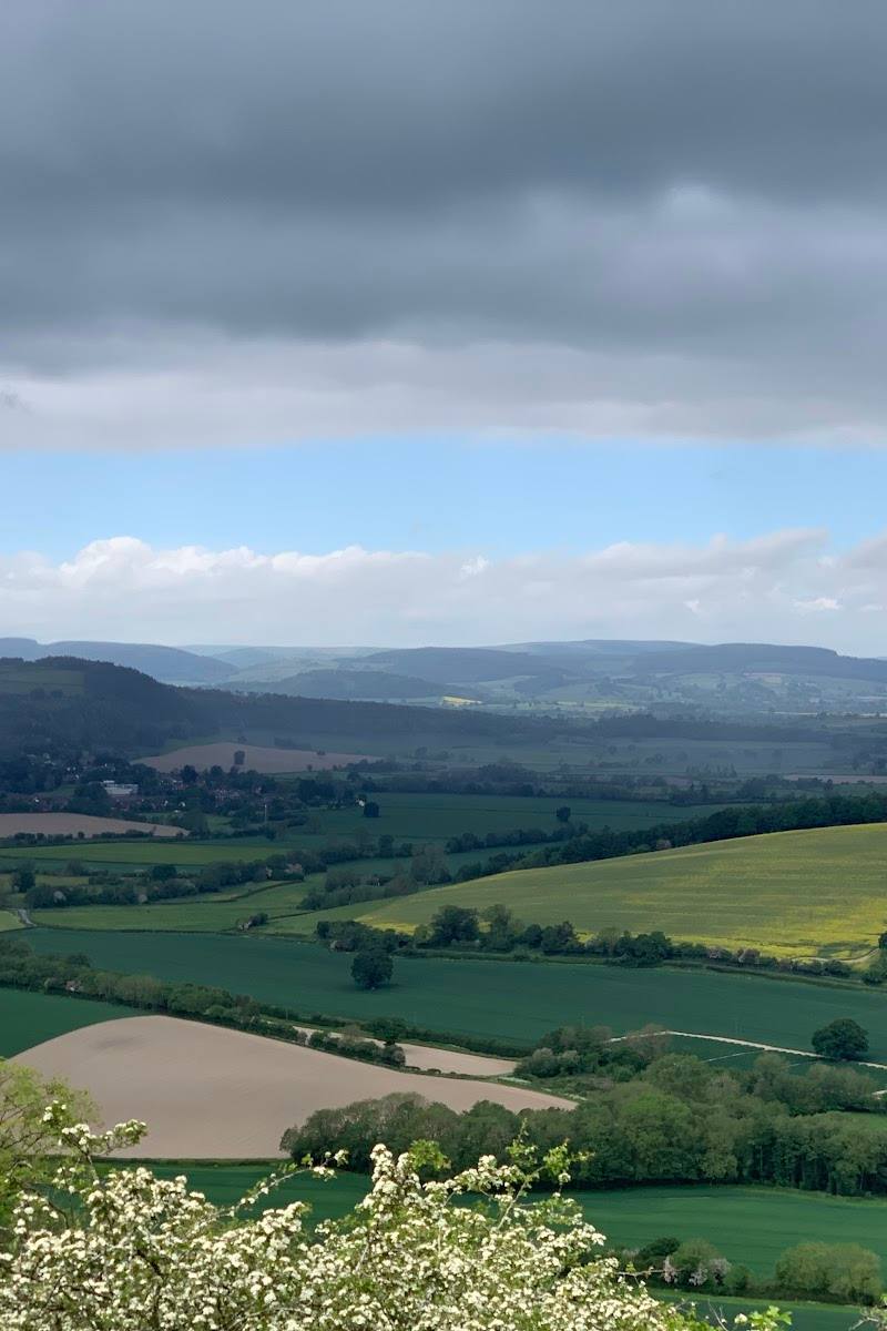
Near Newnham Bridge, Worcestershire
Rea Aqueduct
Industrial heritage
Place photograph
4.3
Wildland
1–2 hours
Time
Check
Cost
Atmospheric
Feel
Why it's Wildland
4.3A remnant of the Leominster Canal’s crossing of the River Rea, this aqueduct has a difficult engineering story: criticised for leaks and construction problems, it was later repurposed as a footbridge before its north face collapsed into the river in 2013. The surviving structure is now a fragile piece of canal history, not a crossing.
Rea Aqueduct offers a compact encounter with the vulnerable remains of a failed canal-era engineering project. Its appeal is in reading the surviving brickwork and landscape traces, while respecting that the structure is unsafe to cross and access needs checking.
Atmospheric · Historic
Find your way
Open mapNear Newnham Bridge, Worcestershire
Opening map…
Know this place a little better?
The experience
A short, history-led countryside outing to view the surviving aqueduct and traces of the former Leominster Canal. The structure is unsafe to cross; follow current access guidance and do not enter private land without permission.
Things to do
View the surviving aqueduct masonry
The source describes deteriorating brickwork at the western abutment and an ashlar keystone. Observe only from a safe, lawful position; the aqueduct is unsafe to cross.
Part of the visit
Look for traces of the former canal
The described approach follows sections of the former Leominster Canal route, where the guide reports that traces of the canal and a former basin can still be seen. Access across private fields must not be assumed.
Make a day of it
Quick escape · Approximately 1 hour, according to the supplied visiting guide
A short aqueduct history walk
- 01
Use the guide’s described approach from Newnham Bridge only after checking current access and route conditions.
- 02
Follow the described route towards the aqueduct, respecting gates, private land and barriers.
- 03
View the surviving structure from a safe, lawful position; do not cross the aqueduct or approach unstable masonry.
- 04
Return by the same route.
Verified history
The Rea Aqueduct carried the Leominster Canal over the River Rea. The supplied guide gives its completion as 1793 and names Thomas Dadford Junior as engineer. The canal opened in 1794 and was drained in 1859. The aqueduct was later used as a footbridge; its north face collapsed into the river in 2013. The guide reports that engineer John Rennie criticised the canal’s design, workmanship and supervision, and noted that the aqueduct was leaking. It also describes surviving brickwork and an ashlar keystone. The structure is unsafe to cross.
Hidden details
The ashlar keystone — The visiting guide specifically points out the aqueduct’s ashlar keystone as a detail to notice from a safe viewpoint.
A canal route altered by railway construction — The guide explains that the Tenbury and Bewdley Railway cut through the drained canal embankment, leaving no surviving structure at that particular crossing. The railway land is described as privately owned; do not enter it.
When to go
· No source-supported recommendation; check access and conditions before visiting.
The supplied source gives no seasonal recommendation.
Check current conditions and route state before setting out; the described approach includes paths through fields and an embankment.
What to look for
- 01
From a lawful viewpoint, look for the surviving brickwork and ashlar keystone described by the source. The north face collapsed into the river in 2013
- 02
do not approach unstable masonry or cross the aqueduct.
The story
Industry
Best time to go
No season-specific advantage is established by the supplied source. Check access and ground conditions before visiting.
No preferred time of day is supported by the supplied source. Check conditions and access before setting off.
How long to spend
1–2 hours
Perfect for
History lovers · Walkers
Before you go
Address
Practical information
Opening & access
The aqueduct is unsafe to cross and the route described by the source includes paths through fields identified as private property. Do not cross barriers or enter land without permission. Check current access and route conditions before setting out. Access arrangements are unconfirmed. Check before visiting; do not enter private land or restricted structures.
Check before visiting
Parking
The supplied source describes free street parking near Newnham Bridge; verify current availability and restrictions before travelling. The Google Maps pin is not a parking or entrance point.
Check before visiting
Toilets
Check before visiting
Check before visiting
Food & drink
Check before visiting
Check before visiting
Dogs
Check before visiting
Check before visiting
Accessibility
The described approach is on foot and includes gates, field paths and an embankment. Accessibility has not been verified; check route conditions before visiting.
Check before visiting
Cost
Check before visiting
Check before visiting
Water
River
Gallery
Place photographsKeep exploring
Around Rea Aqueduct
Within 50 km · approximate straight-line distances