South Farm Road, near Budleigh Salterton, East Devon
Otter Estuary Nature Reserve
Estuary
Place photograph
6.3
Wildland
1–2 hours
Time
Check
Cost
Peaceful
Feel
Why it's Wildland
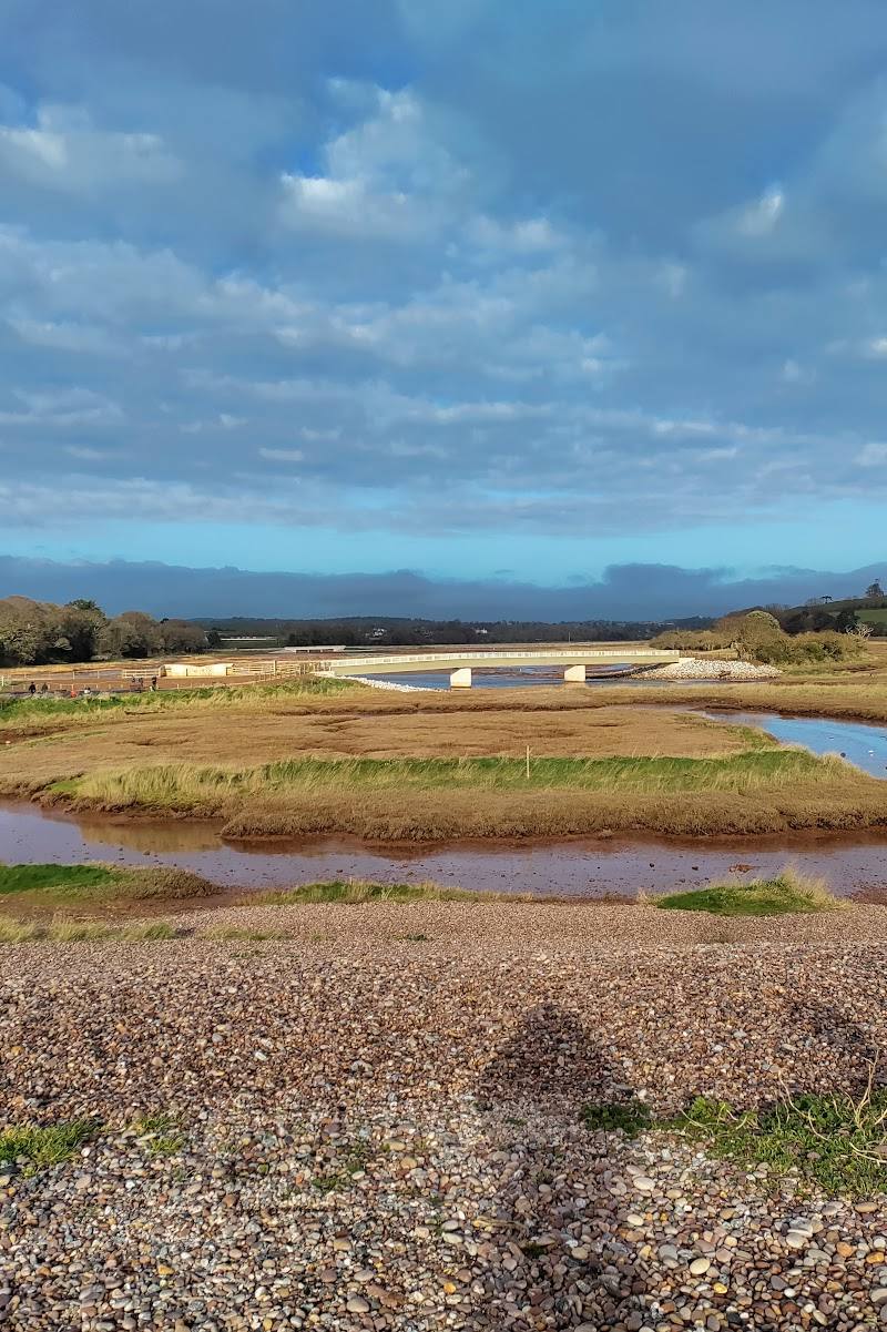
6.3A restored estuary landscape where saltmarsh, reedbeds and mudflats meet the River Otter. The paths trace a floodplain reshaped for wildlife after centuries of human alteration.
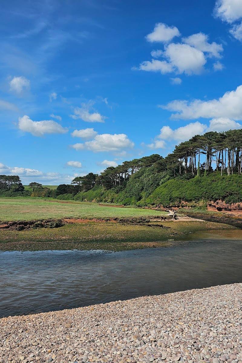
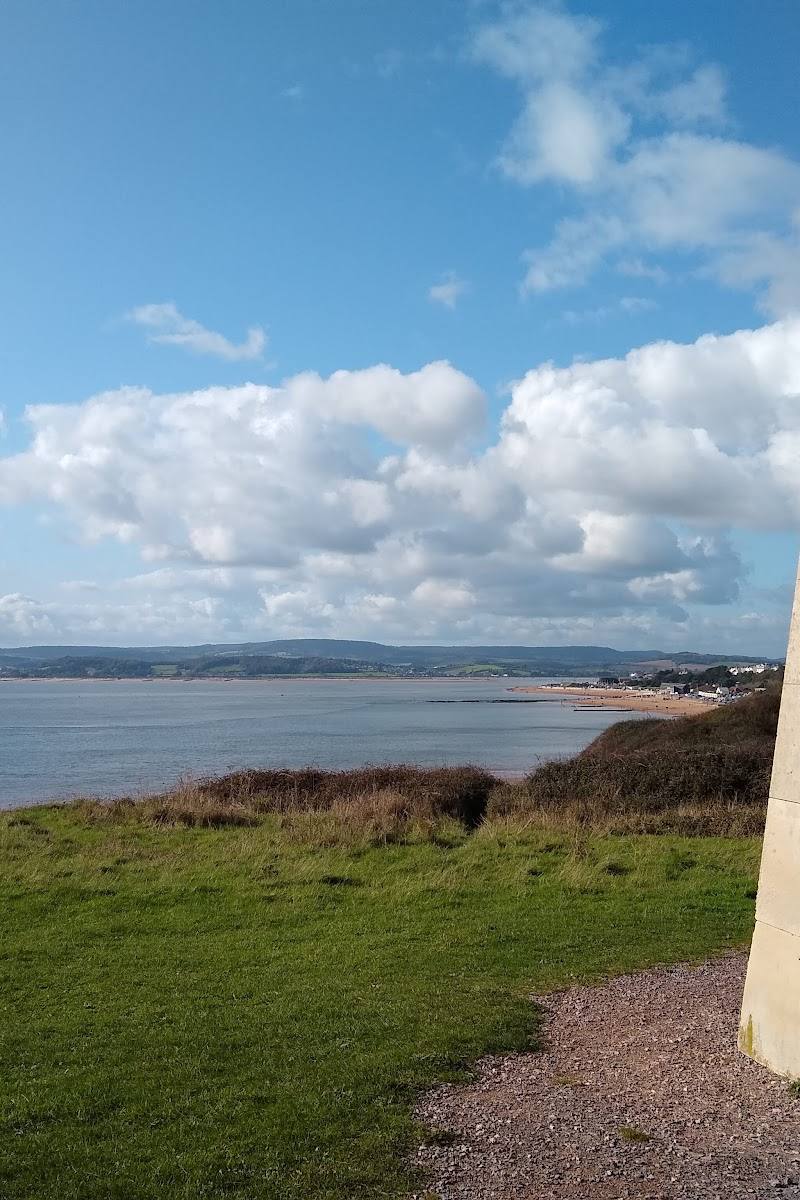
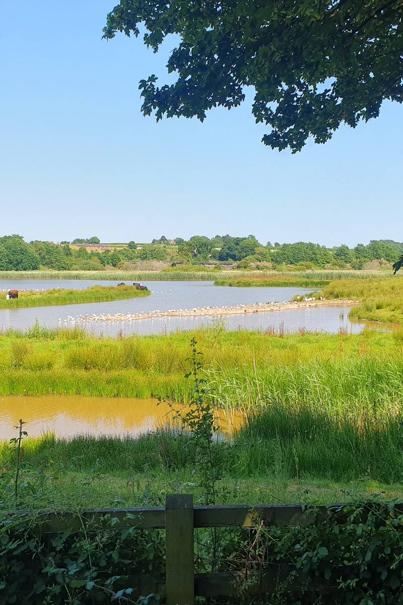
This is more than a waterside stroll: the restored floodplain opens out into saltmarsh, reedbeds and tidal creeks, with a long history written into the embankments and river course. Its best discoveries are made slowly from the paths, watching the estuary change with the tide and the season.
Peaceful · Big-sky · Wild
Find your way
Open mapSouth Farm Road, near Budleigh Salterton, East Devon
Opening map…
Know this place a little better?
The experience
Take the short loop from the South Farm Road area for a close look at the restored estuary, or extend the walk north towards Otterton. Keep to the paths, check tidal conditions where relevant and give wildlife space.
Things to do
Walk the short estuary loop
Follow the reported short loop from the car park for open views over the estuary and its restored floodplain. Check tide conditions before starting.
1–2.5 hours
Watch birds from the paths
Look across saltmarsh and mudflats for wildfowl, waders and egrets. Winter is noted for resting and feeding birds; summer brings breeding birds.
Extend the riverside walk towards Otterton
Head north along the riverside path towards Otterton for a longer outing. Check route options and conditions before leaving, especially after heavy rain or around high tide.
Notice the restored floodplain
Look for the tidal creeks and wetland landscape created through the Lower Otter Restoration Project, and consider how the former floodplain has been reconnected to the estuary.
Make a day of it
Quick escape · About 1–2 hours
Quick Escape: Estuary loop
- 01
Start from the South Farm Road car park and follow the signed public paths.
- 02
Pause at the viewing areas to look across the tidal creeks, saltmarsh and mudflats.
- 03
Follow the short loop back, checking tide and path conditions before setting out.
Half day · Half day
Make a Half Day of It: Follow the estuary north
- 01
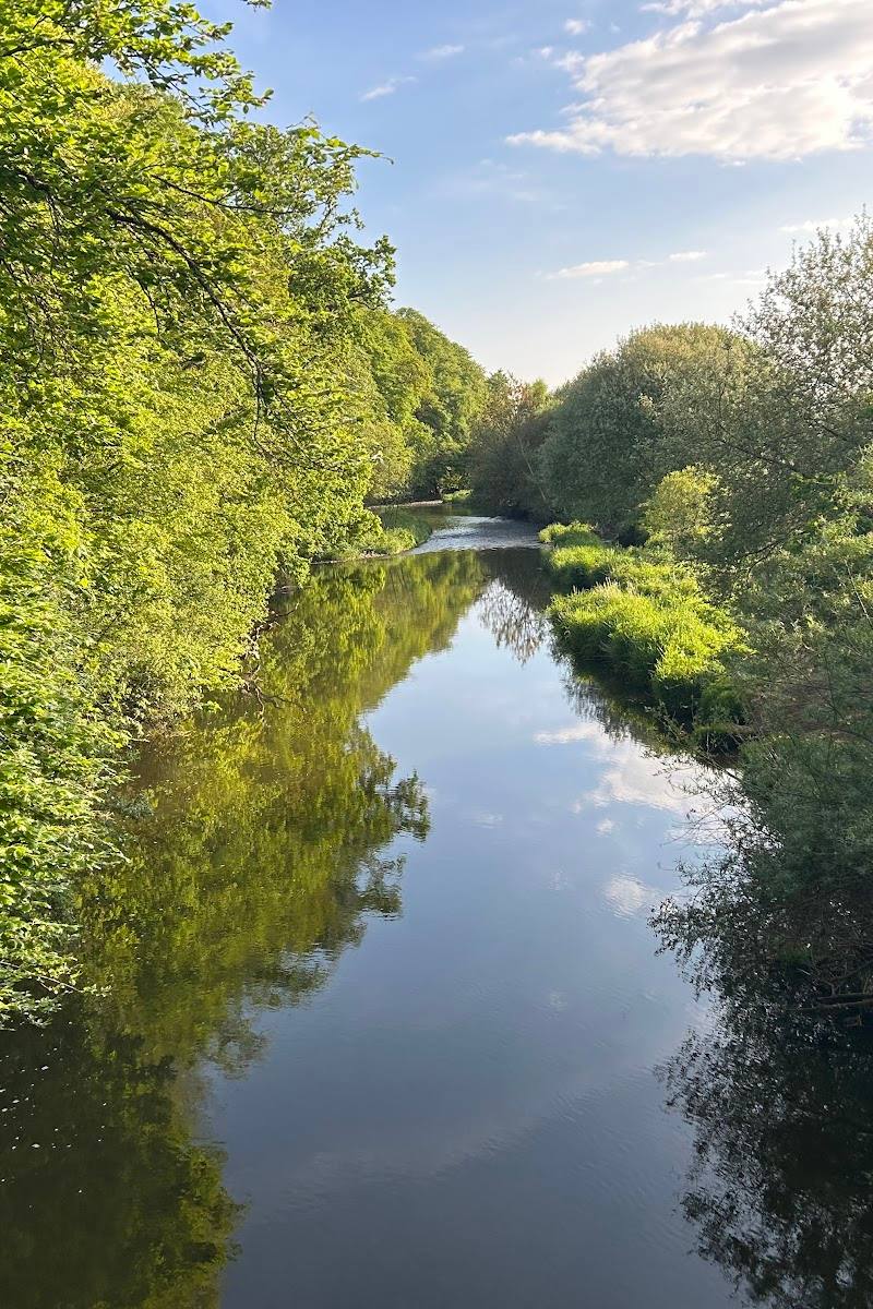
Begin at the South Farm Road car park and take the riverside path through the estuary landscape.
- 02
Stop at viewpoints to watch for waders, wildfowl and egrets.
- 03
Continue north towards Otterton if conditions and time allow, then return by your chosen route; check tide and weather, as some paths may flood.
Verified history
An old 18th-century embankment crosses the floodplain beside the estuary. The Lower Otter Restoration Project set out to address failing sea defences and reconnect the historic floodplain to the estuary. A published route account describes the restoration as reversing earlier alterations made for agriculture, a railway line and a refuse tip; check current interpretation on site for further detail.
Hidden details
The old embankment — The eastern-side footpath follows an embankment dating from the 18th century: a human-made line through a now-restored estuary floodplain.
A changing river edge — The restored floodplain includes tidal creeks and new intertidal habitat. Look at the relationship between the river, reedbeds, saltmarsh and mudflats as the tide changes.
When to go
September · October · November · December · January · February · March · April · May · June · July · August · A clear, calm period is useful for watching birds and taking in the open estuary views. Check tide times and forecast before visiting.
The reserve supports wildlife year-round. The supplied sources highlight breeding birds in summer and wintering or migrating birds in the colder months; autumn is also noted as a rewarding season for birdlife.
Devon weather can be changeable. Some paths may flood around high tide or after heavy rain, so check conditions and wear suitable footwear.
The route
- ascent
- No ascent or descent on the published 2.7-mile route.
- stiles
- Check before visiting
- surface
- Hard-packed gravel on the published short loop; the 2.7-mile walk includes gentle river paths and some tarmac.
- distance
- A published short loop is approximately 2.5 km; a separate South West Coast Path route from Lime Kiln Car Park is 2.7 miles (4.4 km). These are different route descriptions and starts.
- duration
- The short-loop source gives 1–2.5 hours; the 2.7-mile route is described as an easy stroll.
- difficulty
- Easy; the published short loop is mostly flat.
- waymarking
- Check before visiting
- route shape
- Short loop from the car park; longer out-and-back or circular options are described towards Otterton and the coast.
- start point
- South Farm Road car park for the reserve loop; Lime Kiln Car Park for the published 2.7-mile South West Coast Path walk.
- parking start
- Car parking is reported at South Farm Road and Lime Kiln car parks; charges apply. Check current parking details.
- shorter alternative
- Take the published short loop, approximately 2.5 km, rather than extending north towards Otterton.
- Views across saltmarsh, mudflats and tidal creeks
- Birdwatching from paths and viewing areas
- The 18th-century embankment
- Restored floodplain and estuary habitats
Worth pairing with
Budleigh Salterton Beach
The estuary paths connect with the beach and South West Coast Path, offering a natural extension to a visit. Keep to public routes and follow local visitor guidance.
Otterton
The riverside path can be followed north towards Otterton for a longer walk. The supplied sources do not verify specific cafés or other facilities there.
What to look for
- 01
Scan the saltmarsh and mudflats for waders, wildfowl and egrets
- 02
look for reedbeds along the tidal creeks and notice how the paths follow an old embankment across the floodplain. Beaver and otter may be present in the lower valley, but sightings are not guaranteed.
The story
Estuary restoration; historic floodplain; 18th-century embankment
Best time to go
Autumn and winter for gathering wildfowl, waders and other migrating birds; summer for breeding birds. The estuary offers different wildlife through the year.
Autumn and winter are strong seasons for wildfowl, waders and migrant birds. Choose a clear, calm day for open estuary views; check tide and weather before walking.
How long to spend
1–2 hours
Perfect for
Walkers · Wildlife lovers · Photographers · Families
Practical information
Opening & access
Public footpaths give access to views of the estuary; stay on paths, as walking in the estuary itself is not permitted. Some western-side paths may flood around high tide or after heavy rain. Check current access and conditions before setting out.
Check before visiting
Parking
The South Farm Road car park is a reported starting point; charges apply. Check current parking details before visiting.
Check before visiting
Toilets
Check before visiting
Check before visiting
Food & drink
No on-site café confirmed. Budleigh Salterton is nearby; check current options before travelling.
Check before visiting
Dogs
Dogs should be kept on the path and under close control. Take dog waste away or use the designated bins.
Accessibility
A published route describes a short loop with hard-packed gravel paths that is wheelchair- and buggy-friendly, but conditions and tidal flooding can affect access. Check the route and current conditions before visiting.
Check before visiting
Cost
Paid parking; check current charges
Check before visiting
Water
Estuary, tidal creeks, saltmarsh and mudflats. No swimming permission is established. Launching from the banks or the estuary side of the shingle bar is not permitted.
Gallery
Place photographsKeep exploring
Around Otter Estuary Nature Reserve
Within 50 km · approximate straight-line distances