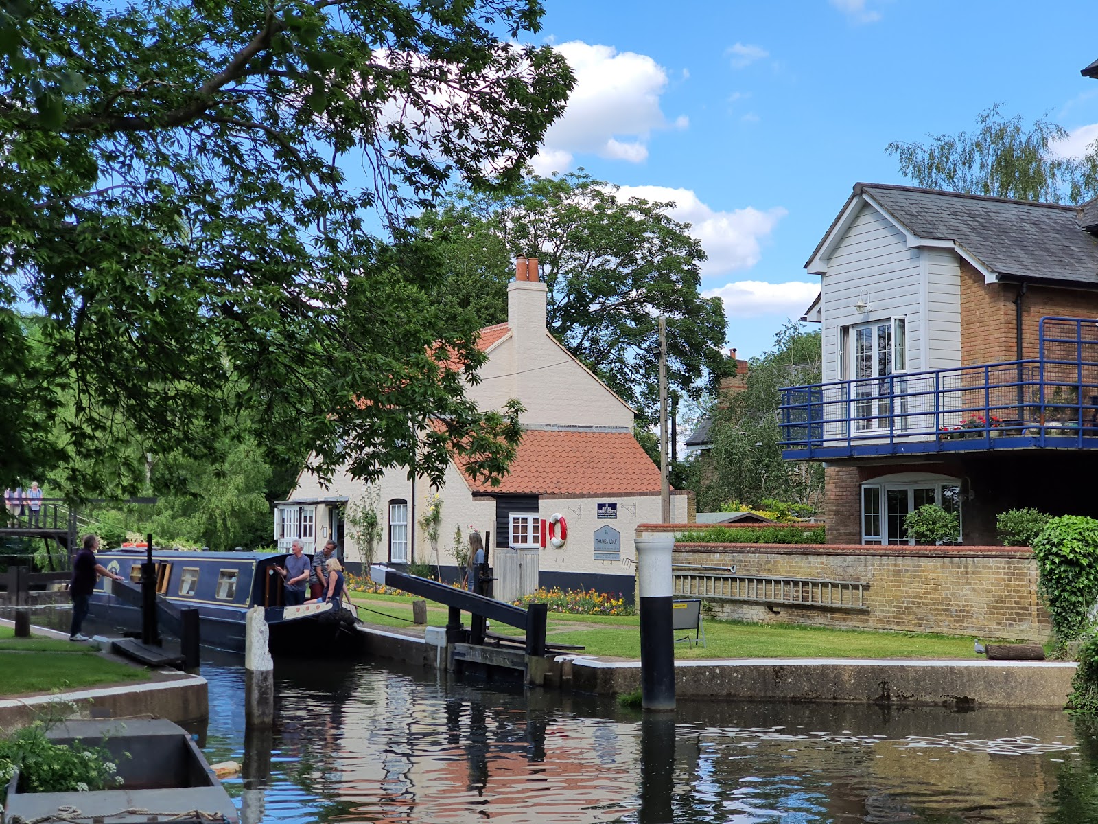
Thames Lock, Jessamy Road, Weybridge KT13 8LG
River Wey & Godalming Navigations
Canal
Place photograph
5.5
Wildland
1–2 hours
Time
Check
Cost
Peaceful
Feel
Why it's Wildland
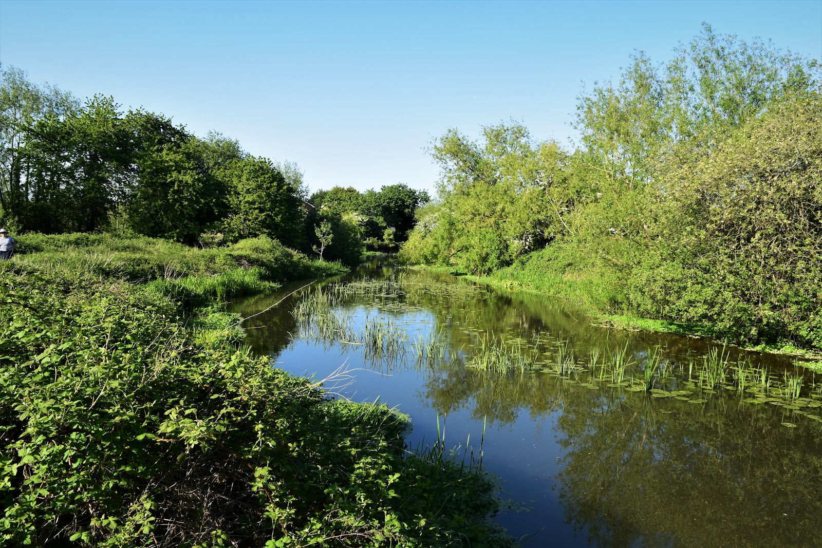
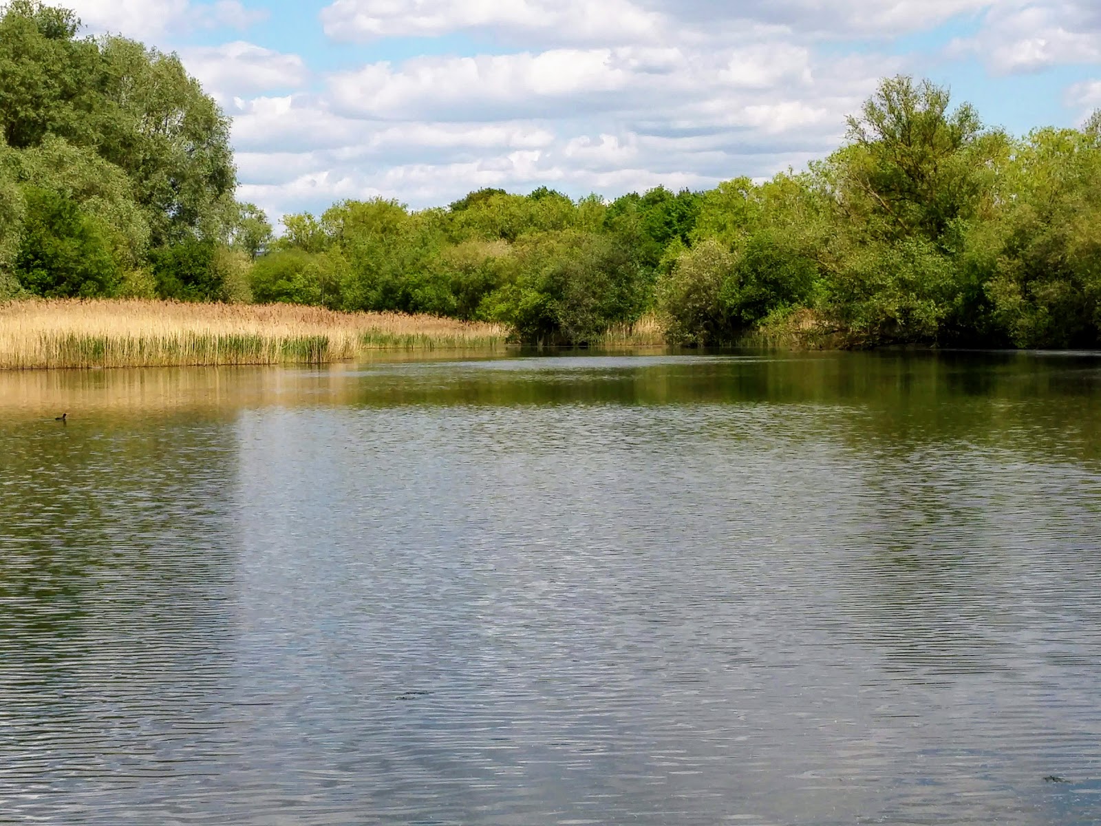
5.5A man-made waterway where towpaths pass historic locks, floodplain commons and traces of Surrey’s industrial past.
The navigations offer more than a riverside stroll: their changing character links working-waterway history with a green corridor through modern Surrey. The supplied sources support their landscape and heritage interest, but do not establish a specific route or visitor facilities at the Weybridge pin.
Peaceful · Atmospheric
Find your way
Open mapThames Lock, Jessamy Road, Weybridge KT13 8LG
Opening map…
Know this place a little better?
The experience
Explore a section of the navigations on foot, taking in the waterway and its historic infrastructure. The supplied sources describe different lengths and features, but do not confirm a specific walk beginning at the Weybridge pin.
Things to do
Walk a towpath section
Explore one of the navigation’s different lengths on foot; the landscape ranges from once-industrial and urban stretches to rural plains.
Look for the Catteshall dole stones
On the Catteshall Lock length, two surviving dole stones mark historic common-land ownership on the Lammas floodplain.
Notice the waterway’s industrial traces
The National Trust highlights Coxes Mill, the Grist Mill at Parvis Wharf and rowing clubhouses along the New Haw length.
Watch for wildlife along the navigation
The towpath and waterway form a green corridor. The National Trust notes roe deer, kestrels, parakeets, bats and owls on the Triggs length.
Make a day of it
Quick escape · 1–2 hours
A towpath taste
- 01
Choose a towpath section only after checking its current access and start point.
- 02
Walk beside the navigation, looking out for locks and the contrast between urban and rural stretches.
- 03
Return by the same route unless a verified alternative is available.
Verified history
The National Trust says Sir Richard Weston began creating an artificial channel in 1618, cutting from the area of the Rowbarge Inn to a new lock at Stoke and then continuing across his land. The original lock controlled water used to flood meadows. The navigations’ lengths also retain evidence of later industrial activity, including mills and wharves.
Hidden details
Two surviving dole stones — The National Trust notes two remaining dole stones on the Lammas lands near Catteshall Lock, where they relate to historic common-land ownership.
A waterway made to flood meadows — At Stoke, the original lock controlled water used to flood the meadows, a practical detail behind the navigation’s creation.
When to go
· Not established by the supplied sources.
The supplied sources do not specify seasonal highlights or a preferred time to visit.
Check conditions before setting out; the supplied sources do not describe weather-related route conditions.
What to look for
Look for historic locks and, on the Catteshall length, surviving dole stones on the Lammas lands. Other sections pass once-industrial places and distinctive waterway buildings.
The story
Industry
Best time to go
Not established by the supplied sources.
The supplied sources do not identify a best time of day or season.
How long to spend
1–2 hours
Perfect for
Walkers · History lovers · Wildlife lovers
Before you go
Address
Phone
Website
Listed hours
- Friday: Open 24 hours
- Monday: Open 24 hours
- Sunday: Open 24 hours
- Tuesday: Open 24 hours
- Saturday: Open 24 hours
- Thursday: Open 24 hours
- Wednesday: Open 24 hours
Check before visiting.
Google rating
Practical information
Opening & access
The National Trust describes towpath walking along the navigations. Check current access and conditions before visiting.
Check before visiting
Parking
Check before visiting
Check before visiting
Toilets
Check before visiting
Check before visiting
Food & drink
Check before visiting
Check before visiting
Dogs
Check before visiting
Check before visiting
Accessibility
Check before visiting
Check before visiting
Cost
Check before visiting
Check before visiting
Water
River, Canal
Gallery
Place photographsKeep exploring
Around River Wey & Godalming Navigations
Within 50 km · approximate straight-line distances