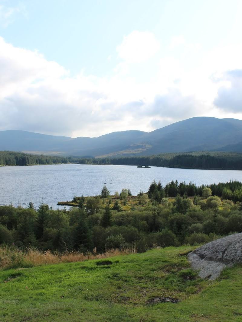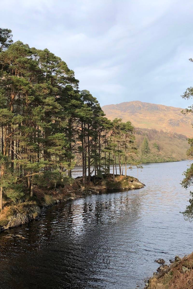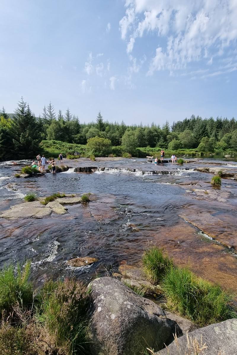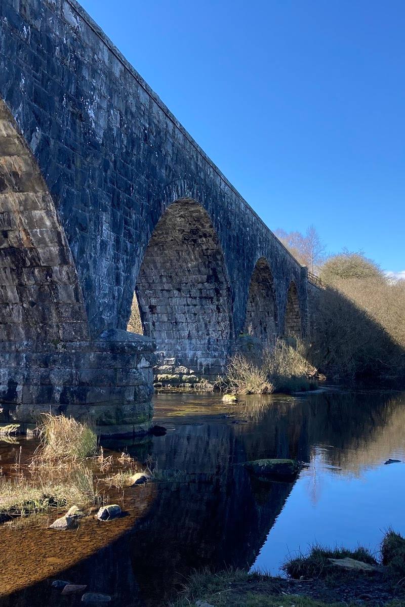
Galloway Hills, near Newton Stewart, Dumfries and Galloway, Scotland
Merrick
Viewpoint
Place photograph
6.2
Wildland
Half day, Full day
Time
Check
Cost
Wild
Feel
Why it's Wildland
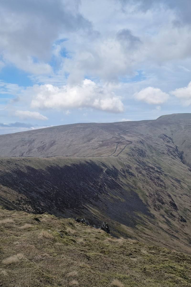
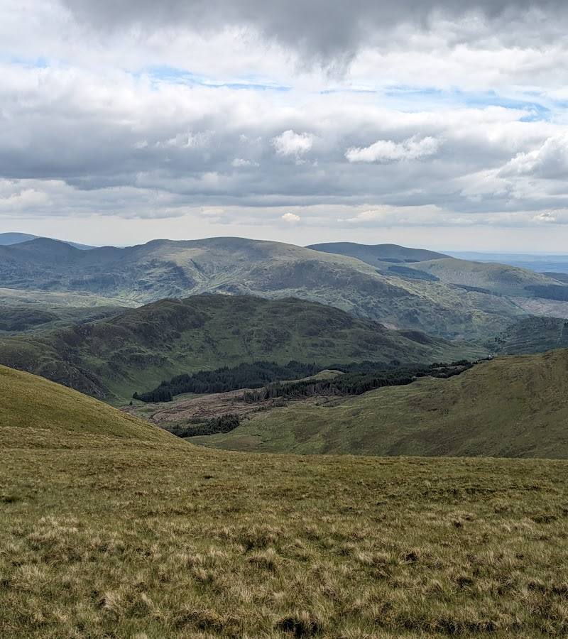
6.2A serious hill day in the Galloway Hills: climb via Benyellary to reach Merrick, the highest peak in southern Scotland.
Merrick offers a substantial upland walk rather than a roadside viewpoint. The documented route climbs through the glen to Benyellary before continuing to the summit, making the journey itself part of the experience. The available evidence supports a challenging mountain outing, but not detailed summit facilities or access arrangements.
Wild · Dramatic
Find your way
Open mapGalloway Hills, near Newton Stewart, Dumfries and Galloway, Scotland
Opening map…
Know this place a little better?
The experience
Merrick is a hill-walking destination in the Galloway Hills. AllTrails describes a hard, out-and-back route via Benyellary, beginning along the Buchan Burn and continuing to Merrick before returning by the same way.
Things to do
Walk Merrick via Benyellary
Take the described hard out-and-back route: follow the Buchan Burn, ascend to Benyellary, continue to Merrick, and retrace the route to the trailhead.
5.5–6 hours
Make a day of it
Quick escape · 5.5–6 hours
The documented Merrick ascent
- 01
Follow the route from its trailhead along the Buchan Burn.
- 02
Continue to Benyellary, then climb onward to Merrick.
- 03
Return to the trailhead by the same route.
When to go
· No specific time of day is established by the supplied sources. Check the forecast and conditions before setting off.
The supplied sources do not establish a preferred season for the Merrick route.
Check the latest mountain forecast and route conditions before setting out. The supplied sources do not provide specific weather or safety guidance for the ascent.
The route
- distance
- 8.1 miles
- duration
- 5.5–6 hours
- difficulty
- Hard
- route shape
- Out and back
- start point
- Route trailhead; exact start location not established in the supplied source excerpt.
- parking start
- Check before visiting; parking for this route is not confirmed in the supplied sources.
- Follow the Buchan Burn through the glen.
- Climb to Benyellary before continuing to Merrick.
- Return to the trailhead by the same route.
What to look for
Follow the route’s changing terrain from the Buchan Burn glen towards Benyellary, then onwards to the Merrick summit. The supplied sources do not identify specific summit features or wildlife to seek.
Best time to go
Check conditions before choosing a season; no season-specific route guidance is supplied.
No best time of day is established by the supplied sources. Check the forecast and route conditions before departure.
How long to spend
Half day, Full day
Perfect for
Walkers · Photographers
Before you go
Address
Google rating
Practical information
Opening & access
A demanding hill walk is described via Benyellary, with a return by the same route. Check current access, route conditions and weather before setting out. Access arrangements are unconfirmed. Check before visiting; do not enter private land or restricted structures.
Check before visiting
Parking
Check before visiting; the supplied sources do not confirm parking for the Merrick route.
Check before visiting
Toilets
Check before visiting
Check before visiting
Food & drink
Check before visiting
Check before visiting
Dogs
Check before visiting
Check before visiting
Accessibility
The documented ascent is graded hard and is not described as an accessible route. Check current route and access information before setting out.
Check before visiting
Cost
Check before visiting
Check before visiting
Gallery
Place photographs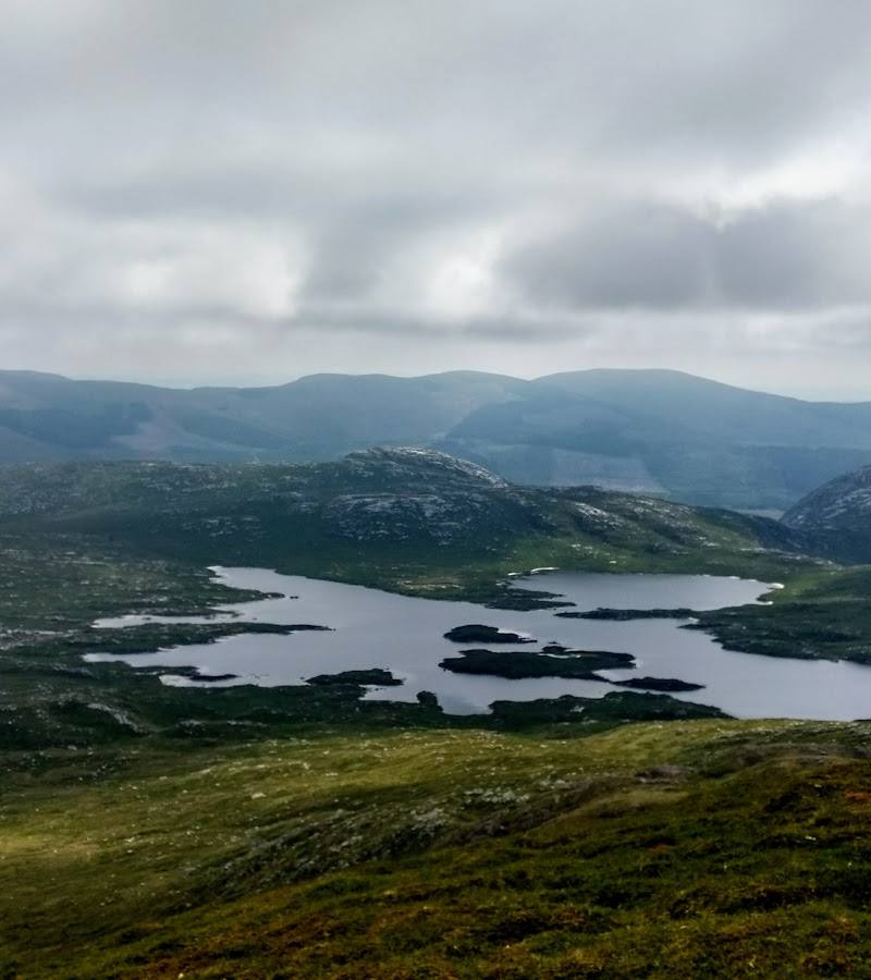
Keep exploring
Around Merrick
Within 50 km · approximate straight-line distances