6.6
Wildland
1–2 hours
Time
Check
Cost
Dramatic
Feel
Why it's Wildland
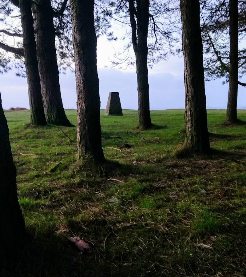
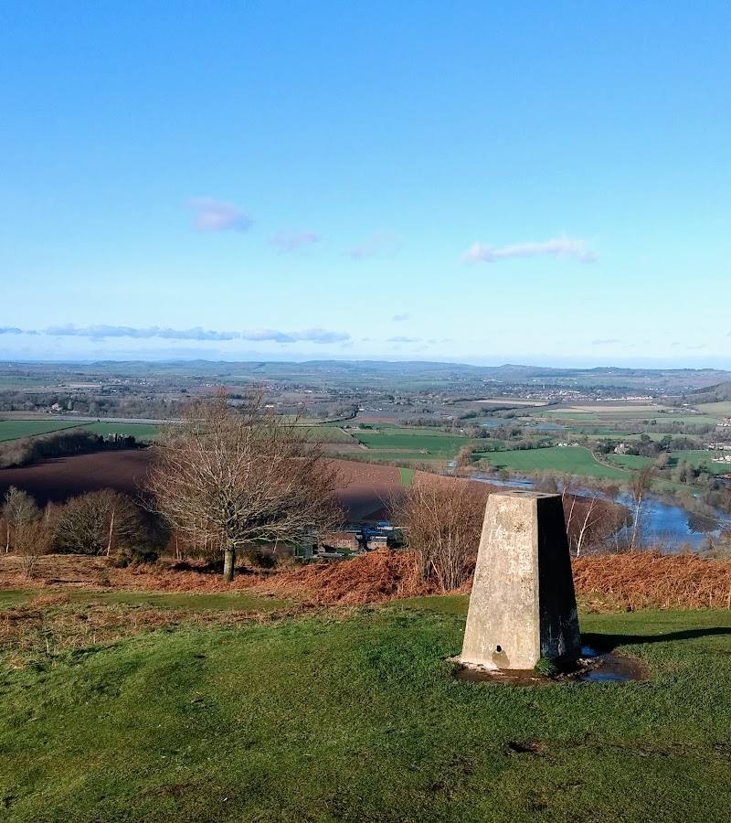
6.6A wooded summit crowned by a distinctive clump of trees, with far-reaching views across the Severn and Wye valleys.
May Hill earns its place for the combination of an unmistakable tree-crowned summit, open countryside views and walking routes that cross the hill. The approach is short enough for a quick outing, but steep and uneven enough to feel like a proper climb.
Dramatic · Big-sky · Wild
Find your way
Open mapNear Huntley, Gloucestershire
Opening map…
Know this place a little better?
The experience
Allow around 1–2 hours for an out-and-back visit from the small car park: climb to the tree-crowned summit, pause at the benches and take in the views. Expect uneven ground and some steep sections; check conditions after rain.
Things to do
Walk up to the summit
Follow a public footpath to May Hill’s summit, allowing for moderate and sometimes steep slopes and rough, uneven ground.
Around 1–2 hours for a short visit; exact route duration is not specified.
Take in the summit views
Pause at the summit benches and look out across the Severn and Wye valleys.
Walk a longer way across the hill
The Gloucestershire Way and Wysis Way both cross May Hill’s summit; use a suitable map to plan a longer walk rather than assuming a circular route.
Make a day of it
Quick escape · Around 1–2 hours
Quick Escape: climb to the tree-crowned summit
- 01
Start from May Hill Car Park, noting that it has space for a maximum of five cars.
- 02
Follow a public footpath uphill towards the summit; expect uneven ground and moderate, sometimes steep, slopes.
- 03
Pause at the summit benches and look across the surrounding countryside.
- 04
Return by your outward route; check path conditions after wet weather.
Verified history
The supplied National Trust information confirms that public footpaths cross May Hill and that the Gloucestershire Way and Wysis Way run over its summit. The supplied material does not provide enough reliable, corroborated detail to develop a fuller historical account.
Hidden details
Two long-distance paths meet the summit — The Gloucestershire Way and Wysis Way both cross May Hill’s summit, so the hill can be incorporated into a longer walk as well as visited on a short outing.
When to go
· Choose a clear day for views; check weather and ground conditions before setting out.
The supplied sources do not identify particular peak months. The National Trust notes that paths can be muddy after wet weather.
Summit paths are rough and uneven, with moderate and sometimes steep slopes; small sections can be muddy after rain. The National Trust reports poor mobile phone signal.
The route
- surface
- Uneven and rough in places; small sections may be muddy after wet weather.
- difficulty
- Moderate; the approach includes slopes that are steep in places and rough underfoot.
- start point
- May Hill Car Park, Cliffords Mesne, GL18 1JS
- parking start
- Very small car park; maximum five cars.
- shorter alternative
- A short out-and-back to the summit is suggested, but an exact distance and duration are not supplied.
- Tree-crowned summit
- Summit benches
- Views across the Severn and Wye valleys
- The Gloucestershire Way and Wysis Way cross the summit
What to look for
Look for the distinctive clump of trees marking the summit and the changing views across the Severn and Wye valleys.
Best time to go
Check conditions before setting out; the summit paths can be muddy after wet weather.
Choose a clear day for the broadest views. Check the weather and path conditions before travelling.
How long to spend
1–2 hours
Perfect for
Walkers · Photographers · Families
Before you go
Address
Google rating
Practical information
Opening & access
National Trust countryside open from dawn to dusk. Public footpaths cross the hill; paths to the summit are uneven, moderately steep and rough in places, and may be muddy after rain.
Parking
Very small car park, maximum five cars. Listed by Visit Dean Wye at May Hill Car Park, Cliffords Mesne, GL18 1JS.
Toilets
Check before visiting
Check before visiting
Food & drink
Check before visiting
Check before visiting
Dogs
Dogs must be kept on leads.
Accessibility
The summit paths have moderate and sometimes steep slopes, rough and uneven ground, and may be muddy after rain. National Trust reports poor mobile phone signal.
Cost
Check before visiting
Check before visiting
Gallery
Place photographs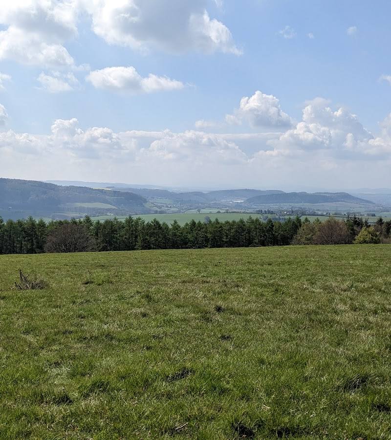

Keep exploring
Around May Hill
Within 50 km · approximate straight-line distances
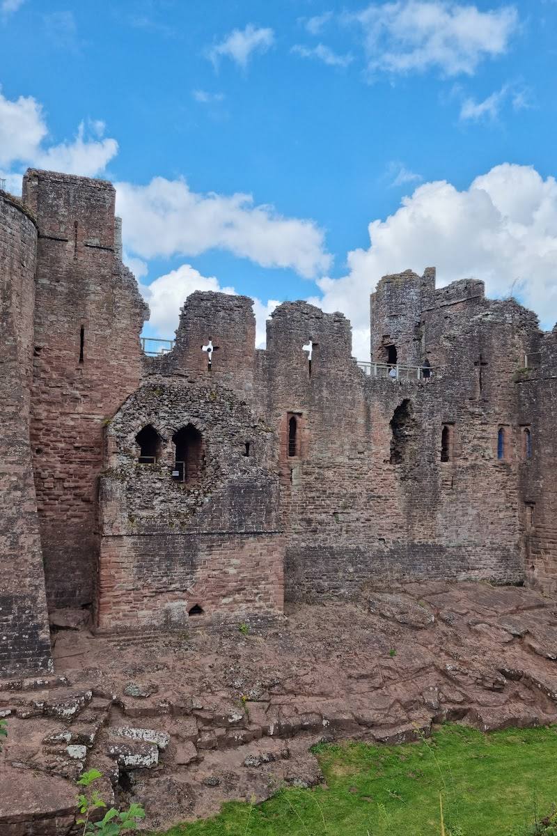 Place photograph8.1
Goodrich Castle
Castle Lane, Goodrich, near Ross-on-Wye, Herefordshire HR9 6HY
11.9 km away
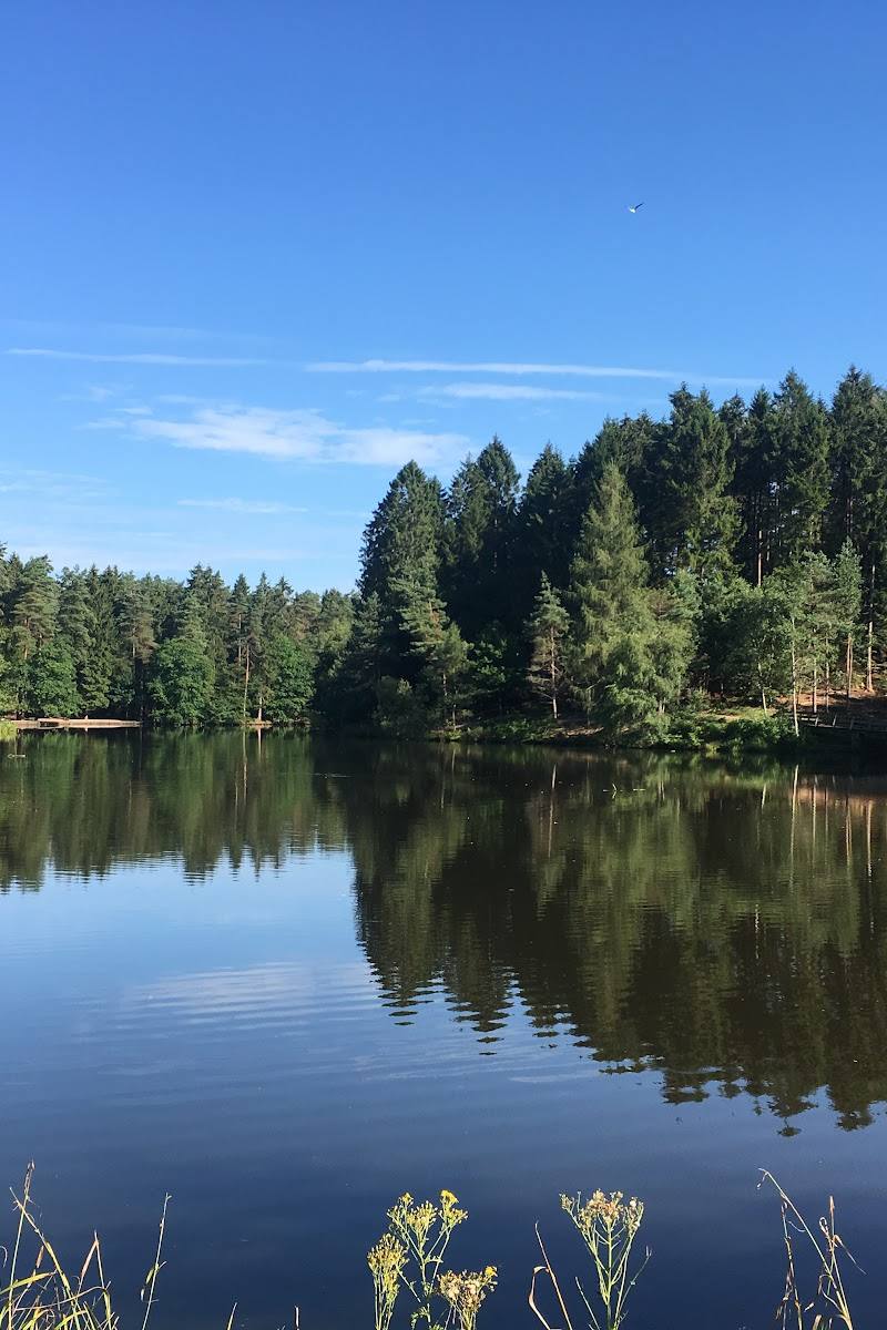
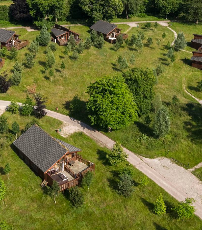
 Place photograph9.0
Nature's Nest
Ballingham Court, Ballingham, near Hereford, Herefordshire HR2 6NH
15.8 km away