Lowland Point, St Keverne, Helston, Cornwall TR12 6NY
Lowland Point
Beach
Place photograph
5.3
Wildland
1–2 hours
Time
Check
Cost
Wild
Feel
Why it's Wildland
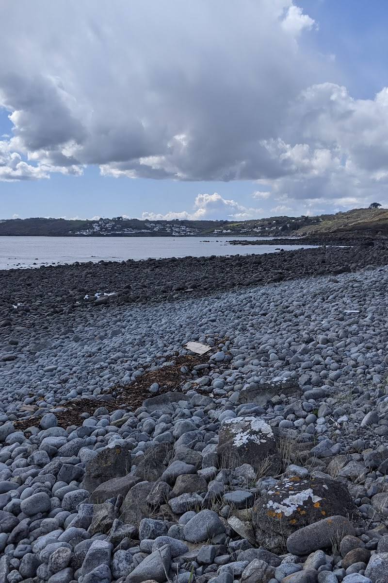
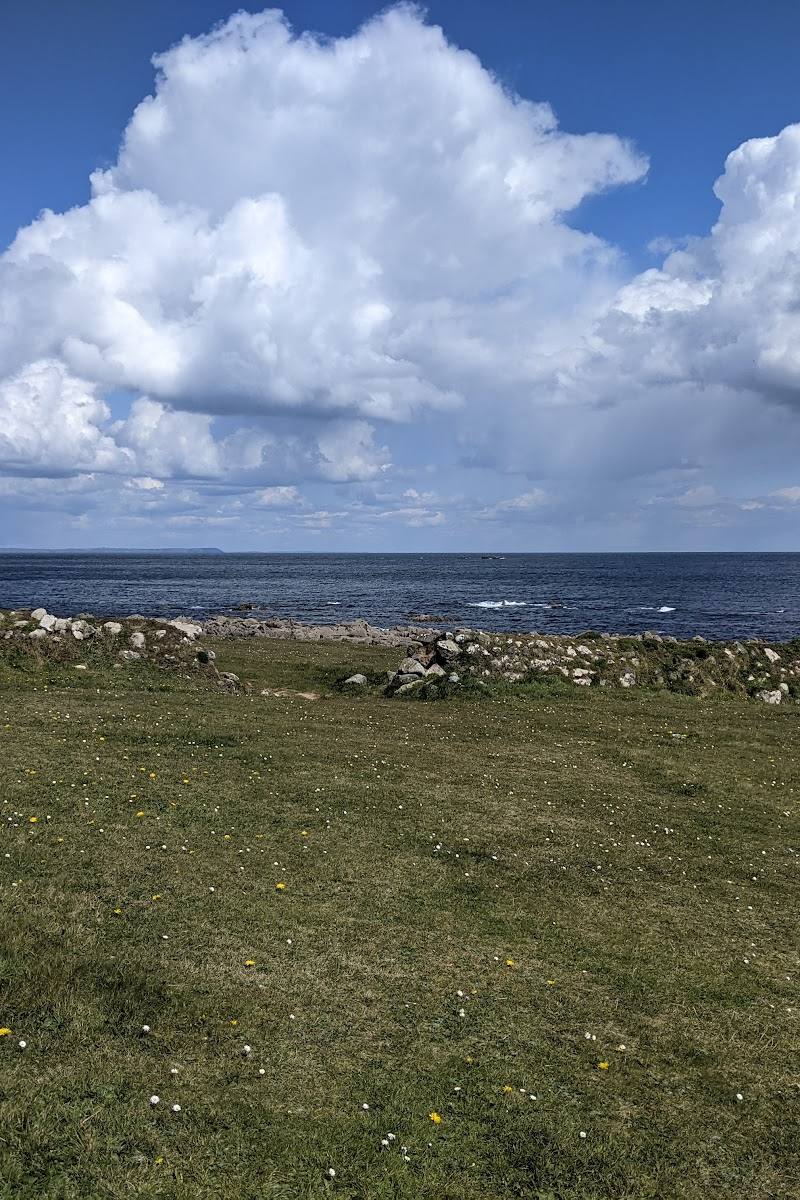
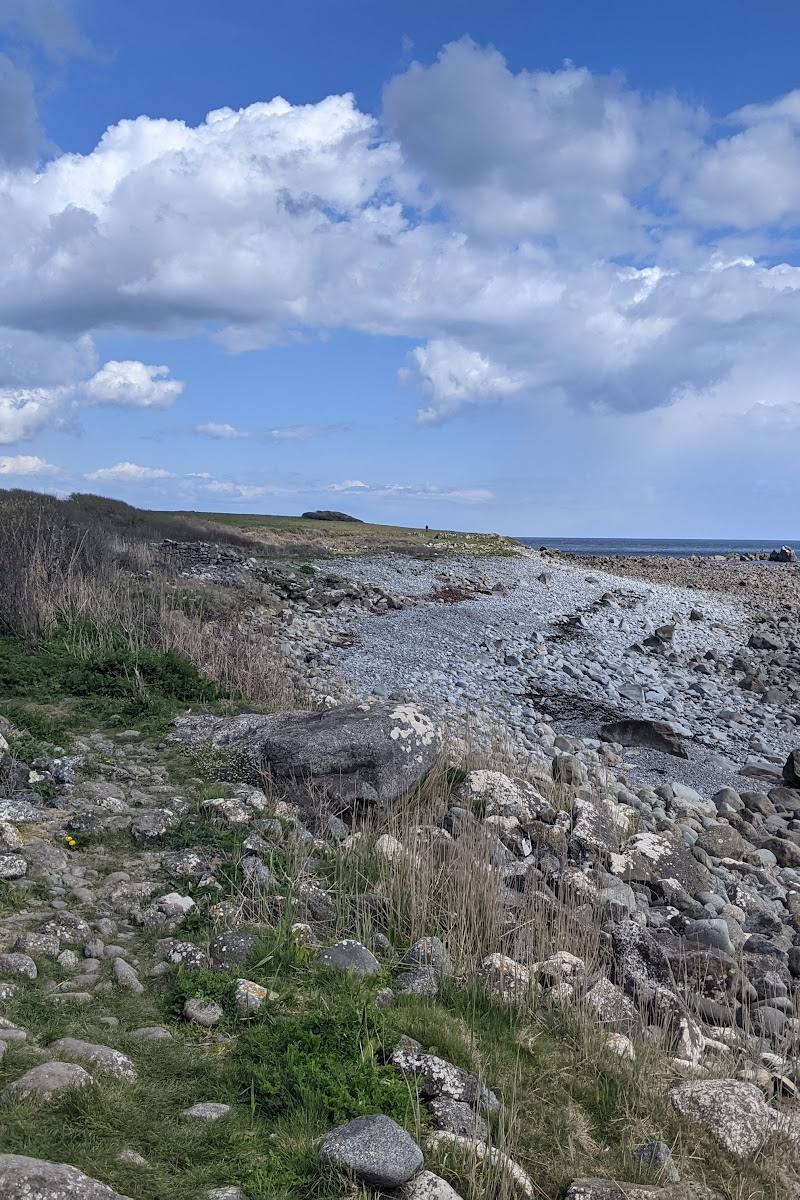
5.3A raised beach on the Lizard Peninsula gives Lowland Point a glimpse of an older coastline, with open sea views towards the Manacles reef.
Lowland Point is more than a coastal viewpoint: its raised beach records higher sea levels, while the coast path brings you to a striking view of the Manacles. The approach is a proper walk over uneven ground, not a simple roadside stop.
Wild · Dramatic
Find your way
Open mapLowland Point, St Keverne, Helston, Cornwall TR12 6NY
Opening map…
Know this place a little better?
The experience
Visit Lowland Point as part of the circular walk from Coverack. The route crosses coastal paths and a raised beach, with views towards the Manacles reef. Expect uneven ground, stone stiles and possible mud.
Things to do
Walk across the raised beach
The raised beach at Lowland Point is described as a relic of higher sea levels. It is reached on the Coverack coastal circuit.
Look out towards the Manacles
The route description identifies the coast around Lowland Point and Godrevy Cove as a place to view the Manacles reef.
Watch for coastal wildflowers
Wildflowers are noted along the coastal path. No particular species or flowering dates are specified.
Make a day of it
Quick escape · Around 1–2 hours
See the raised beach
- 01
Start from the main car park at the north end of Coverack.
- 02
Follow the described coastal route towards Lowland Point.
- 03
Walk across the raised beach and take in the sea view.
- 04
Return by the same route; check a current map and local conditions first.
Half day · About 3 hours
Coverack and Lowland Point circuit
- 01
Start at the main car park at the north end of Coverack.
- 02
Follow the route past The Grove and up onto the raised beach.
- 03
Continue towards Lowland Point and Godrevy Cove for views of the Manacles.
- 04
Follow the described inland return via Rosenithon and St Keverne, checking current waymarks and any quarry-related diversions.
Verified history
The raised beach at Lowland Point is described as a relic of higher sea levels. The nearby Manacles reef has a long history of shipwrecks, but the supplied route source gives no specific dates or casualty figures for Lowland Point itself.
Hidden details
A coastline left high and dry — The raised beach is evidence of a former sea level, preserved above the present shore.
When to go
April · May · June · July · August · September · Choose a clear-weather window for the sea views; check the forecast before setting out.
The coastal route is described as muddy in places after rain, and wildflowers are noted along the path. The source does not specify flowering dates.
Wear stout footwear; the route can be muddy, and the coastal paths are uneven. Check the forecast and current route conditions.
The route
- stiles
- Many stone stiles
- surface
- Coastal path, raised beach, fields and heathland; rough and muddy in places.
- distance
- 5 miles
- duration
- About 3 hours
- difficulty
- Moderate
- waymarking
- Follow the described route and current waymarks; check for quarry-related diversions.
- route shape
- Circular
- start point
- Main car park at the north end of Coverack
- parking start
- Main car park at the north end of Coverack; check current arrangements.
- shorter alternative
- The route source describes a shorter option from the path near Dean Quarry, taking the grassy track up to the left and joining the road to St Keverne.
- Raised beach at Lowland Point
- Views towards the Manacles from the coast
- Wildflowers along the coastal path
Worth pairing with
Coverack
The described circular walk starts at Coverack and returns through the village; pubs, shops, cafés, toilets and a beach are listed there.
St Keverne
The Coverack circuit passes through St Keverne on its inland return. Pubs and shops are listed in the village.
What to look for
Look for the raised beach, a relic of higher sea levels, and the sea view towards the Manacles. Wildflowers are noted along the coastal path.
The story
Maritime
Best time to go
Spring to early autumn for wildflowers and more settled walking conditions; check the forecast before visiting.
Choose a clear, calm day for the sea views and wear sturdy footwear. The source recommends stout shoes, or wellingtons after rain; check current conditions before setting out.
How long to spend
1–2 hours
Perfect for
Walkers · Photographers · History lovers
Before you go
Address
Google rating
Practical information
Opening & access
Lowland Point is included on a coastal walking route from Coverack. The route description notes uneven, potentially muddy paths and stone stiles; check current path conditions and access before setting out.
Check before visiting
Parking
The Coverack circuit starts at the main car park at the north end of Coverack. Check parking arrangements before travelling.
Check before visiting
Toilets
Toilets are listed in Coverack; check availability before visiting.
Check before visiting
Food & drink
Pubs, shops and cafés are listed in Coverack, with pubs and shops in St Keverne. Check opening times.
Check before visiting
Dogs
Check current local rules and route conditions before visiting.
Check before visiting
Accessibility
The described Coverack circuit is not suitable for wheelchairs or people with limited mobility: it includes rough coastal and field paths, stone stiles and potentially muddy sections.
Cost
Check before visiting
Check before visiting
Water
Sea
Gallery
Place photographsKeep exploring
Around Lowland Point
Within 50 km · approximate straight-line distances
 Place photograph7.4
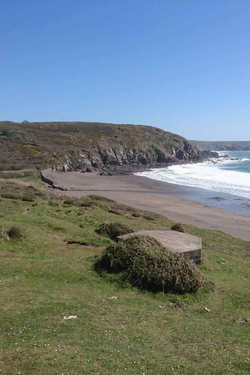
Kennack Sands
Kennack Sands, near Kuggar, the Lizard Peninsula, Cornwall
7.6 km away

 Place photograph6.8
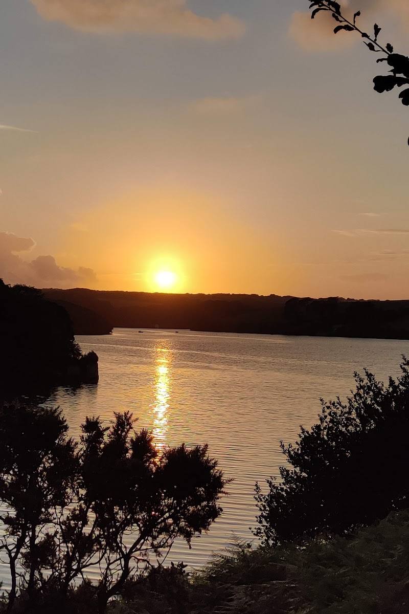
Helford Passage
North bank of the Helford River, near Falmouth, Cornwall TR11 5LG
8.8 km away