Carneddau range, Eryri (Snowdonia), near Dolgarrog, Conwy
Llyn Dulyn
Reservoir
Place photograph
8.1
Wildland
Half day
Time
Check
Cost
Wild
Feel
Why it's Wildland
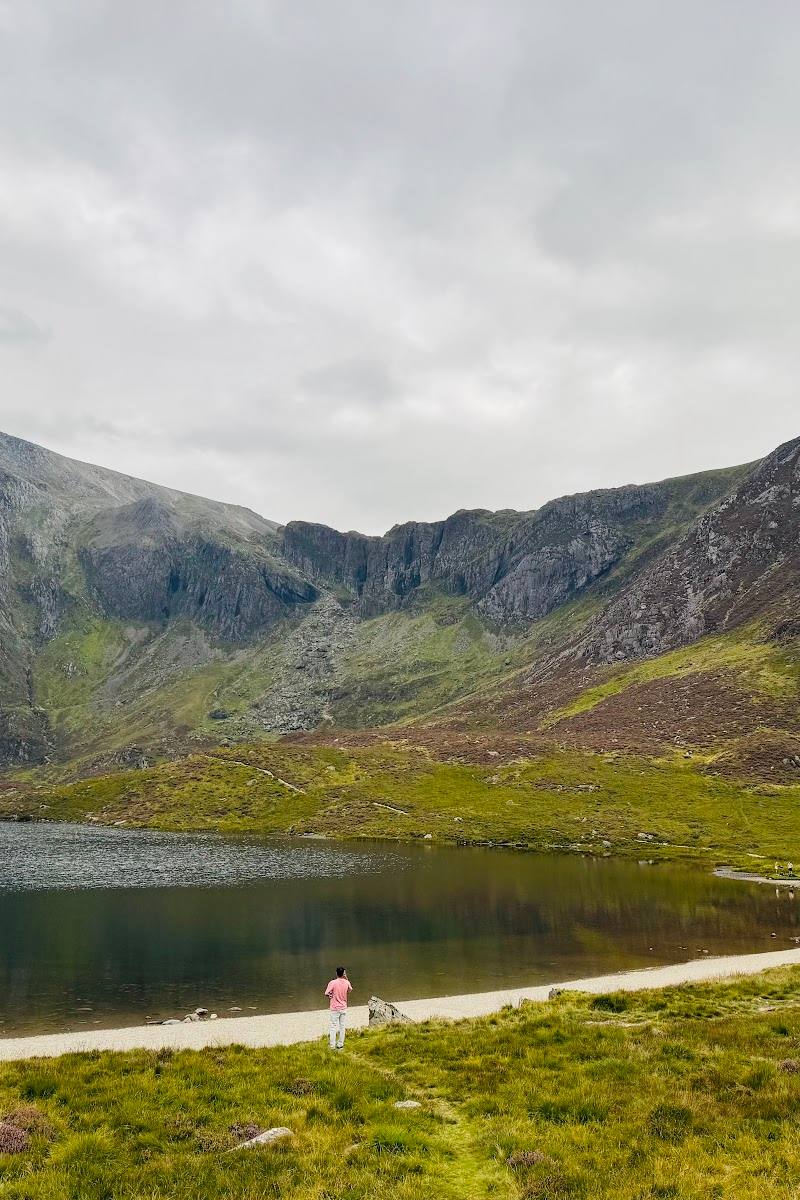
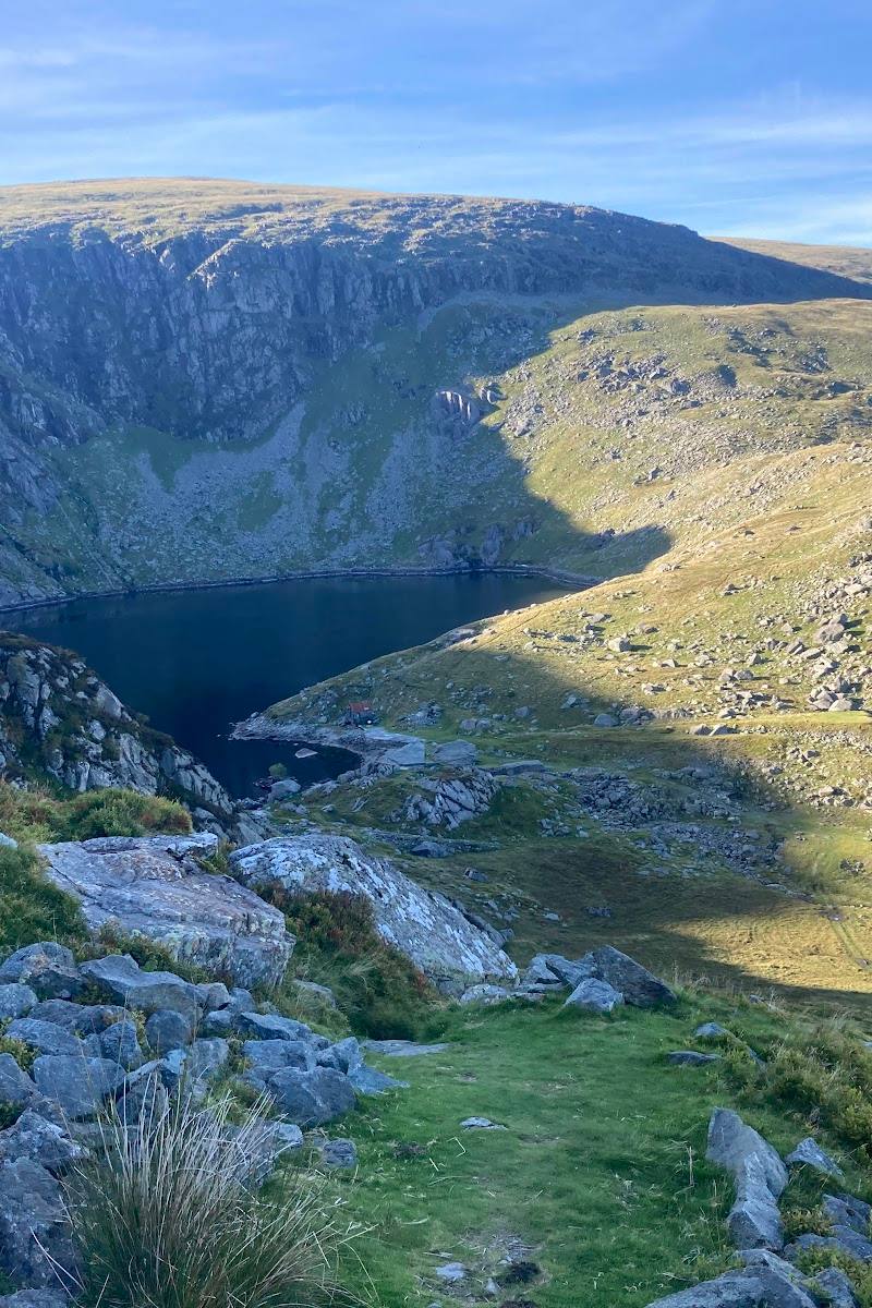
8.1Llyn Dulyn means “Black Lake”. Its dark water lies beneath steep Carneddau slopes, at the end of a mountain walk that also passes Llyn Melynllyn and Dulyn Bothy. Reports of aircraft wreckage give the place a sobering wartime association.
This is more than a reservoir viewpoint: a remote-feeling mountain setting, two lakes on the approach and a striking story of aircraft wreckage make the walk feel unusually atmospheric. The route is rough and can be boggy, so it rewards preparation rather than a casual detour.
Wild · Remote · Atmospheric
Find your way
Open mapCarneddau range, Eryri (Snowdonia), near Dolgarrog, Conwy
Opening map…
Know this place a little better?
The experience
The strongest way to experience Llyn Dulyn is on foot, following a mountain circuit that takes in Llyn Melynllyn, the lakeside setting and Dulyn Bothy. Expect uneven, sometimes boggy terrain and check current conditions before you go.
Things to do
Walk the two-reservoir circuit
Follow the described circular route via Llyn Melynllyn and Llyn Dulyn, returning through the valley. Rough, steep and boggy sections are reported; take suitable footwear and navigation.
About 2.5–3 hours
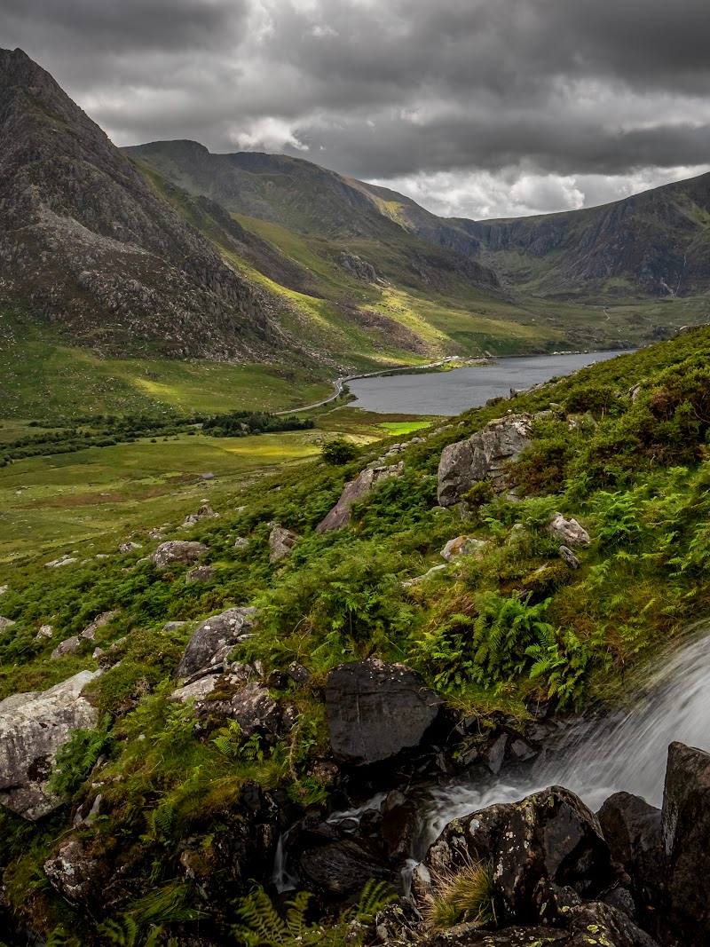
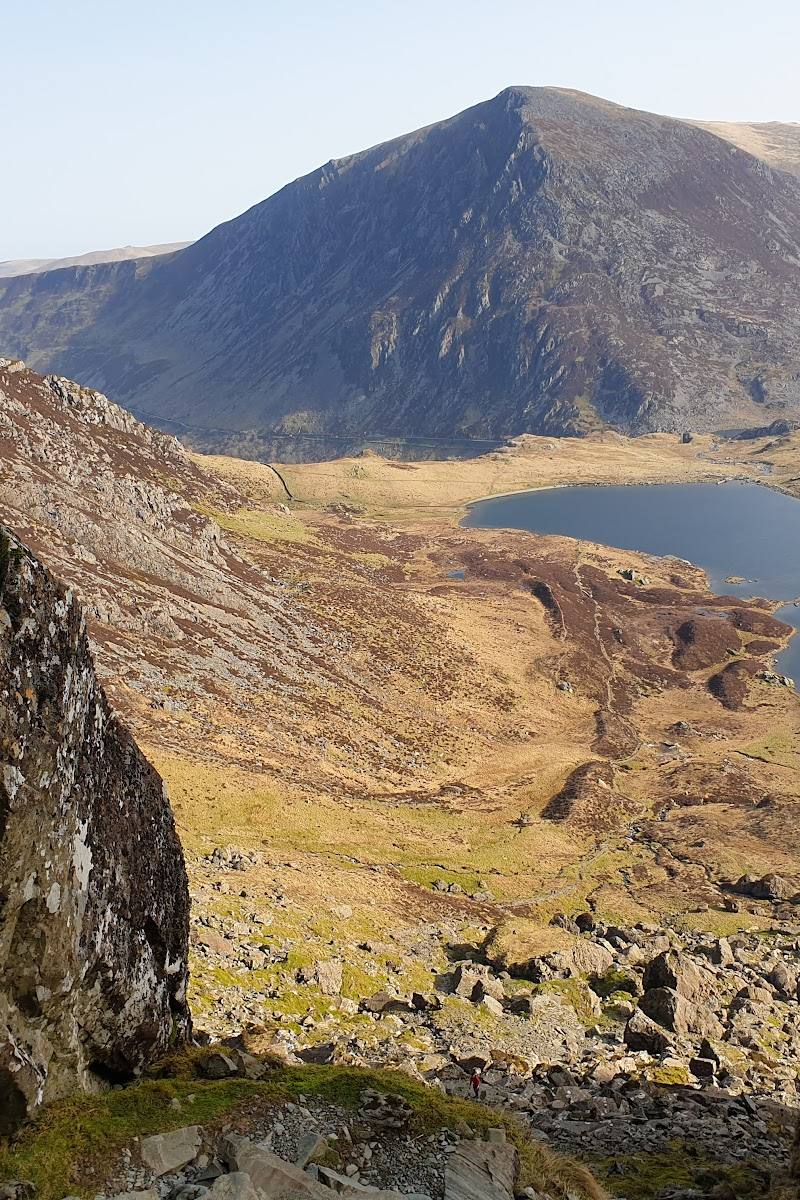
Look across the lake to the Carneddau crags
Pause at Llyn Dulyn for the steep mountain slopes rising beyond the water; the route guide highlights these views.
Notice the reported aircraft wreckage
A walk account reports visible remains of Second World War aircraft when reservoir levels are low. Whether anything is visible depends on water levels; do not disturb or remove material.
Visit Dulyn Bothy
The circular route passes the nearby mountain shelter. Check its current access and use arrangements before relying on it as part of a plan.
Make a day of it
Quick escape · Check route length and conditions before setting out
Walk in to the black lake
- 01
Use the described mountain approach to reach Llyn Melynllyn and continue towards Llyn Dulyn.
- 02
Pause at the lake to take in the steep Carneddau slopes and dark water.
- 03
Return by the same route only if you have confirmed that it is suitable and navigable; the supplied sources do not specify a verified out-and-back itinerary.
Half day · About 2.5–3 hours; route listings give 5.5–5.8 miles and differing ascent figures
The Llyn Melynllyn and Llyn Dulyn circuit
- 01
Start at the route’s described parking area at the end of the narrow road; confirm current arrangements first.
- 02
Follow the track towards Llyn Melynllyn, passing the reported quarry barracks and mill remains.
- 03
Continue by path towards Llyn Dulyn and the nearby Dulyn Bothy.
- 04
Follow the described return through the valley, loosely alongside Afon Dulyn, back towards the start.
- 05
Allow extra time and use suitable navigation: sources describe rough, steep and boggy sections.
Verified history
A supplied walk account reports aircraft wreckage in Llyn Dulyn and attributes the lake’s reputation as an aviators’ graveyard to wartime crashes. It says that eight aircraft crashed against the rock face, citing Wikipedia, but that number is not independently verified by the supplied sources here. The same account says wreckage was especially visible when water levels were low.
Folklore & legend
A supplied account quotes a Welsh magazine printed in 1805 describing a local belief that wetting a distant stone called the Red Altar at Llyn Dulyn could bring rain before nightfall. This is a reported local legend, not an established weather effect.
Hidden details
Quarry remains on the approach — The circular route description says the track passes ruins associated with Melynllyn Quarry, including barracks and a mill. Their condition and precise locations are not detailed in the supplied evidence.
When to go
· Check forecast and conditions; no specific time of day is established by the supplied sources.
The supplied sources do not establish a best season. Mountain weather and boggy ground make checking conditions before departure important.
The route sources report rough, steep and potentially very boggy sections, especially in wet conditions. Check the mountain forecast and take suitable footwear and navigation.
The route
- ascent
- 896–1,017 ft (route sources differ)
- stiles
- A couple of stiles are reported
- surface
- Wide track initially, then mountain paths; rough, steep and potentially boggy sections
- distance
- 5.5–5.8 miles (route sources differ)
- duration
- About 2.5–3.5 hours, depending on source
- difficulty
- Moderate (AllTrails); route conditions described as rough and steep
- waymarking
- Check navigation; one source reports tricky navigation after the bothy
- route shape
- Circular loop
- start point
- Small parking area at the end of a narrow mountain road; confirm exact trailhead before setting out
- parking start
- Limited space is described at the end of a narrow road. Confirm current parking and access arrangements.
- Llyn Melynllyn
- Llyn Dulyn and its Carneddau setting
- Dulyn Bothy
- Reported Melynllyn Quarry barracks and mill remains
- Valley return loosely following Afon Dulyn
What to look for
- 01
Look for the contrast between the dark lake and the steep Carneddau slopes. A supplied walk account reports aircraft wreckage visible when water levels are low
- 02
visibility will vary, and wreckage should be left undisturbed.
The story
Reported Second World War aircraft wreckage; wartime aviation
Best time to go
Check conditions before setting out; the supplied sources do not establish a best season.
No best time of day is established by the supplied sources. Check weather and ground conditions before setting out.
How long to spend
Half day
Perfect for
Walkers · Photographers · History lovers
Before you go
Address
Google rating
Practical information
Opening & access
A walk to Llyn Dulyn is described by route sources. The approach uses a narrow rural mountain road; check current access and conditions before setting out.
Check before visiting
Parking
Route sources describe a small parking area at the end of a narrow mountain road. Confirm current parking arrangements and access before travelling.
Toilets
Check before visiting
Check before visiting
Food & drink
Check before visiting
Check before visiting
Dogs
A route source says dogs are welcome, with stiles and sheep along the way; leads are advised. Check current local guidance.
Check before visiting
Accessibility
The described circular route has steep and rough sections, boggy ground and stiles; it is not presented as an accessible route.
Cost
Check before visiting
Check before visiting
Water
Reservoir
Gallery
Place photographs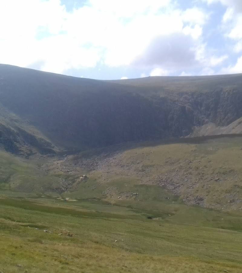
Keep exploring
Around Llyn Dulyn
Within 50 km · approximate straight-line distances