Leicester, Leicestershire
Leicester Riverside Walk
route · Waterside walk
Place photograph
4.7
Wildland
1–2 hours
Time
Check
Cost
Peaceful
Feel
Why it's Wildland
4.7A short city-edge circuit follows two waterways before returning along a former railway line. En route, look out for the old bridge over the Soar meadows, Kings Lock and the lock cottage that has served as a tearoom since 2004.
This is a modest waterside escape rather than remote countryside: a 3.3km circuit links leafy canal towpath, river meadows and a historic railway route, with locks and an old bridge giving the walk more character than a simple riverside stroll.
Peaceful
Find your way
Open mapLeicester, Leicestershire
Opening map…
Know this place a little better?
The experience
Walk a signed-instructions circuit of about 3.3km (2 miles), following the canal towpath and River Soar south to Blue Bank Lock before returning on the tree-lined Great Central Way.
Things to do
Follow the canal and river circuit
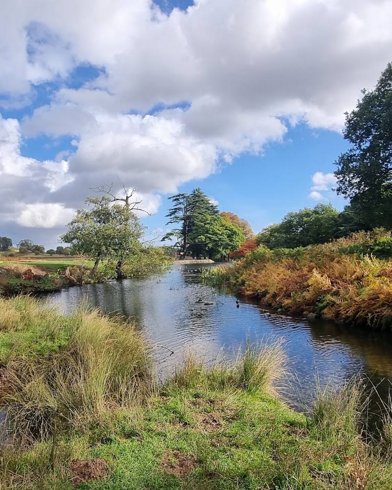
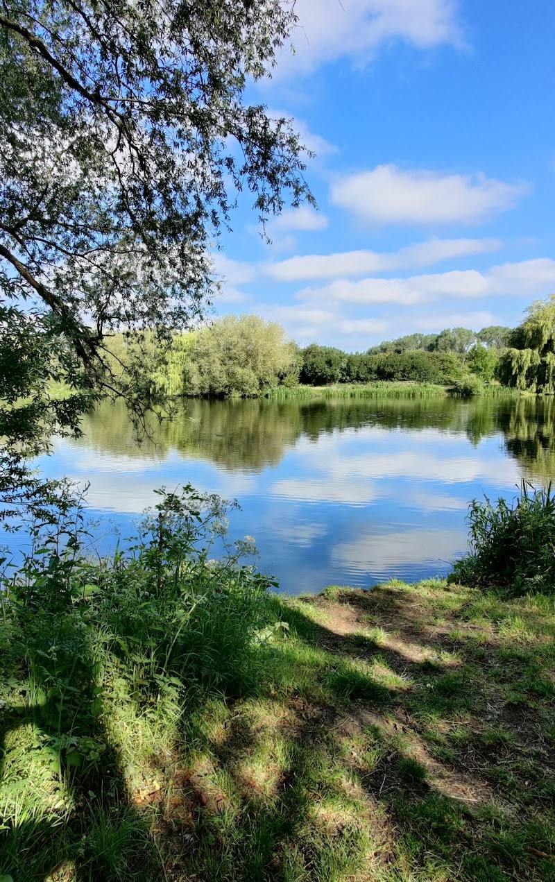
Walk the 3.3km circular route south along the Grand Union Canal Leicester Line and River Soar, then return by the Great Central Way.
About 1–2 hours
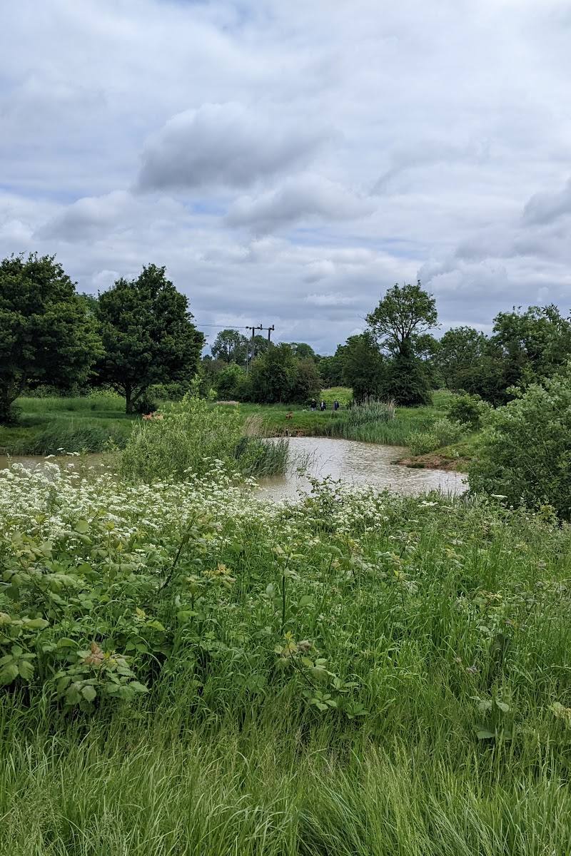
Look across the Soar meadows from the old bridge
The route crosses the canal by Packhorse Bridge 105; nearby, the 11-arched Old Bridge crosses the river meadows and is Grade II*-listed.
Pause at Kings Lock
See the accommodation bridge and the canalside cottage built in 1796, formerly home to the lockkeeper. The route source says it has been a tearoom since 2004; check whether it is currently open.
Return along the Great Central Way
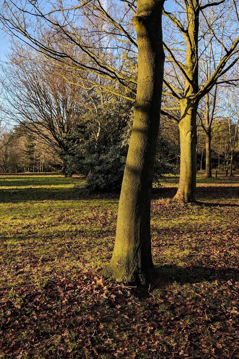
Follow the tree-lined former Great Central Railway route, now shared with walkers, cyclists and horse riders.
Make a day of it
Quick escape · About 1–2 hours
Quick waterside circuit
- 01
Start at Packhorse Bridge 105, where the canal and River Soar run close together.
- 02
Cross the canal bridge and follow the towpath south, with river meadows on one side and the canal on the other.
- 03
Continue past Kings Lock to Blue Bank Lock, then follow the Great Central Way north to return to the start.
Half day · Half day
Take time at the locks
- 01
Walk the published 3.3km circuit from Packhorse Bridge 105 via Kings Lock and Blue Bank Lock.
- 02
Pause at the old bridge and look across the River Soar meadows.
- 03
If open, stop at the lock cottage tearoom at Kings Lock.
- 04
After returning to the start, choose whether to continue along the canal towpath; check route conditions and facilities before setting out.
Verified history
The route’s Old Bridge has 11 arches and is Grade II*-listed; the Canal & River Trust says it predates the canal bridge by about 600 years. Kings Lock takes its name from George King, who served as lockkeeper from 1852 to 1892. The canalside cottage, built in 1796, is described as the canal’s last remaining lock cottage through Leicester.
Hidden details
The old bridge predates the canal — The 11-arched Old Bridge across the river meadows is said by the Canal & River Trust to predate the canal bridge by some 600 years.
A former railway forms the return leg — The Great Central Way follows the straight bed of the former Great Central Railway, once a main-line connection between Manchester and London.
When to go
April · May · June · July · August · September · No specific time of day is established by the supplied sources; check conditions before visiting.
The route description notes hawthorn blossom along the towpath depending on the season, and highlights greenery and wildlife beside the waterways. The source does not specify exact peak months.
The source row warns that paths may be muddy after rain. Check current conditions and wear suitable footwear.
The route
- surface
- Canal towpath and paths, including the Great Central Way; exact surface details are not specified.
- distance
- 3.3km / 2 miles
- duration
- About 1–2 hours; estimated from the distance, not stated by the route source
- difficulty
- Not specified; the route includes steps and a wider access ramp, and paths may be muddy after rain.
- waymarking
- Follow the published route instructions and map; waymarking details are not specified.
- route shape
- Circular
- start point
- Packhorse Bridge 105, OS Grid reference SK568009, postcode LE2 8LT
- parking start
- The route source describes a small car park by the start. Check availability before travelling.
- River Soar and water meadows
- Grand Union Canal Leicester Line
- Grade II*-listed Old Bridge
- Kings Lock and its former lockkeeper’s cottage
- Blue Bank Lock
- Great Central Way, following a former railway bed
Worth pairing with
Continue along the canal towpath
The route source suggests returning to Kings Lock for a canalside stop or exploring the canal further in either direction. Check current access and tearoom arrangements.
What to look for
- 01
The 11-arched Old Bridge across the Soar meadows
- 02
the red-brick canal bridges
- 03
Kings Lock and its former lockkeeper’s cottage
- 04
open water meadows and birds or waterfowl
- 05
the straight former railway bed of the Great Central Way.
The story
Industry
Best time to go
Spring to autumn
Spring to autumn offers the route source’s seasonal hawthorn-blossom detail along the towpath. After rain, expect potentially muddy paths.
How long to spend
1–2 hours
Perfect for
Walkers · Families · Cyclists
Route at a glance
Duration
1–2 hours
Terrain
Riverside, Wetland
Parking / start
The route source describes a small car park near the start at Packhorse Bridge 105. Check availability before travelling.
Practical information
Opening & access
A published circular walk follows the Grand Union Canal Leicester Line, the River Soar and the Great Central Way. The route starts and finishes at Packhorse Bridge 105. Check current conditions before setting out; some sections may be muddy after rain.
Check before visiting
Parking
The route source describes a small car park near the start at Packhorse Bridge 105. Check availability before travelling.
Check before visiting
Toilets
Check before visiting
Check before visiting
Food & drink
The route source says the lock cottage at Kings Lock has been a tearoom since 2004. Check current opening arrangements.
Check before visiting
Dogs
Check before visiting
Check before visiting
Accessibility
The published route includes steps and a wider access ramp near Marsden Lane. It also notes that some paths may be muddy after rain; the whole circuit should not be assumed wheelchair accessible.
Cost
Check before visiting
Check before visiting
Water
River, Canal
Gallery
Place photographsKeep exploring
Around Leicester Riverside Walk
Within 50 km · approximate straight-line distances