From Leagrave, near Luton, to East India Dock, London
Lea Valley Walk
route · Long-distance trail
Place photograph
7.0
Wildland
Multi-day
Time
Check
Cost
Big-sky
Feel
Why it's Wildland
7.0The Lea Valley Walk follows the River Lea from its source near Luton through countryside, waterways and increasingly urban landscapes before reaching the Thames in east London.
This is a substantial river-to-city journey rather than a short local loop: its appeal lies in watching the Lea’s landscape change along a waymarked 91km route, from Bedfordshire towards London. The supplied research supports its long-distance character, but not a detailed itinerary from the imported E17 pin.
Big-sky · Changing landscape
Find your way
Open mapFrom Leagrave, near Luton, to East India Dock, London
Opening map…
Know this place a little better?
The experience
The Lea Valley Walk is a waymarked long-distance route following the River Lea from Leagrave towards the Thames. The supplied guide describes a largely flat 91km walk that can be tackled over several days or as separate outings. The imported E17 pin is a map reference, not a verified start point.
Things to do
Walk the Lea Valley route in stages
Follow the long-distance route from Leagrave towards the Thames, planning it as several day walks or a multi-day journey. The supplied planning guide describes five stages and an optional Olympic Park circuit.
3–7 days, or separate day walks
Explore Three Mills and the Limehouse Cut
On the documented Section 5 walk, take in the historic Three Mills and the Limehouse Cut canal.
About 1 hour for the 3.2km section
Make a day of it
Quick escape · About 1 hour; 3.2km
A short London section: Three Mills and the Limehouse Cut
- 01
Use the TfL-published Lea Valley Walk Section 5 guide to follow the documented Docklands section.
- 02
Pass Three Mills and continue by the Limehouse Cut, the section’s named highlights.
- 03
Check the current route guide and transport options before setting out.
Verified history
The supplied research identifies the Lea Valley Walk as a long-distance path from Leagrave to the Thames and describes Three Mills as a historic feature on its London Section 5. It does not provide enough sourced detail here to add dates or a fuller history.
Hidden details
The swan waymark — The supplied route reference says the walk is marked throughout with a swan symbol; use the route guide to help follow its line.
When to go
· No specific time of day is established by the supplied research; check conditions and transport for the chosen section.
The supplied planning guide describes the route as usable year-round; it does not identify a strongest season.
Check the forecast and conditions for the particular section before setting out. Surface and flood-condition details are not established by the supplied evidence.
The route
- surface
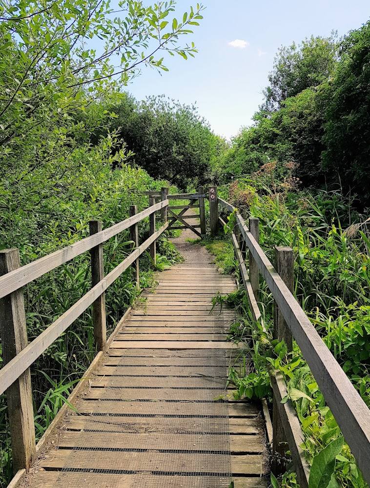
- Riverside paths, towpaths and urban parkland, according to the supplied Cicerone guide.
- distance
- 91km (56 miles), according to the supplied Cicerone guide; another supplied source gives 80km (50 miles), so confirm the current route distance before publication of route directions.
- duration
- 3–7 days for the full route, or multiple day trips, according to the supplied Cicerone guide.
- difficulty
- Easy; described as almost entirely flat by the supplied Cicerone guide.
- waymarking
- Swan symbol, according to the supplied route reference.
- route shape
- Point-to-point, from Leagrave towards East India Dock; the supplied Cicerone guide notes Limehouse Basin as an alternative finish.
- start point
- Leagrave, near Luton; the supplied E17 map pin is not the route start.
- parking start
- Check before visiting; no start-point parking information is verified in the supplied sources.
- shorter alternative
- The supplied Go Jauntly guide documents Section 5 as a 3.2km, approximately one-hour walk featuring Three Mills and the Limehouse Cut.
- River Lea from its source towards the Thames
- The countryside-to-city change along the route
- Three Mills and the Limehouse Cut on Section 5
What to look for
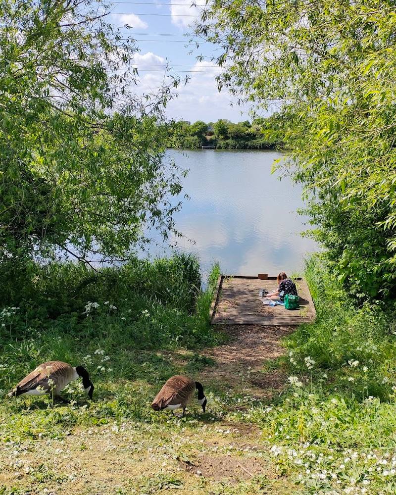
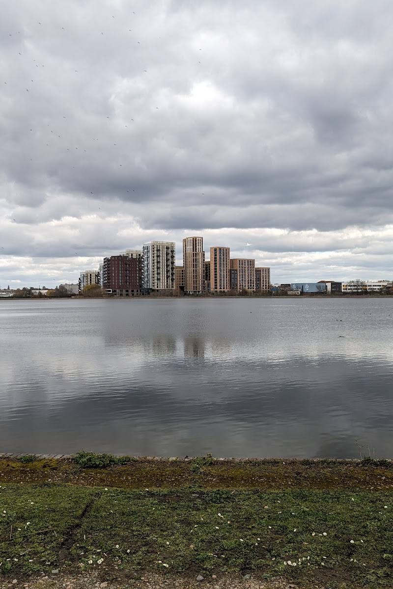
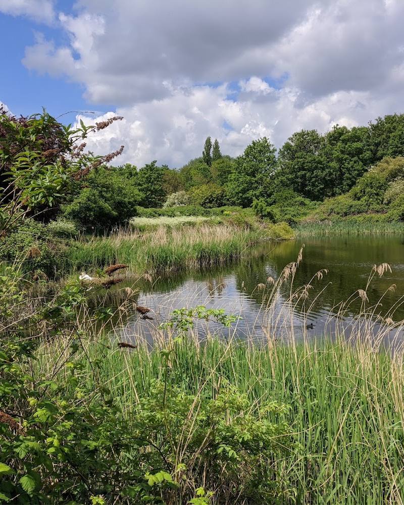
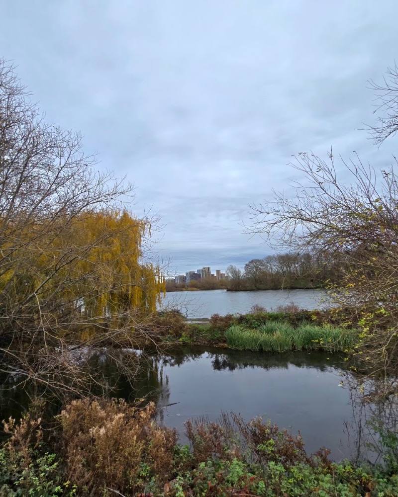
Notice how the route changes from countryside and riverside paths to navigation towpaths and urban waterways. The supplied sources specifically identify Three Mills and the Limehouse Cut on a London section.
The story
Industry
Best time to go
Year-round, according to the supplied route-planning source.
The supplied guide describes the route as suitable year-round. Choose a section and check conditions and transport before setting out.
How long to spend
Multi-day
Perfect for
Walkers · Solo · Groups
Route at a glance
Duration
Multi-day
Terrain
Riverside, Urban historic
Parking / start
Check before visiting; the supplied sources do not verify parking for this listing or its map pin.
Before you go
Address
Website
Listed hours
- Monday: Open 24 hours
- Tuesday: Open 24 hours
- Wednesday: Open 24 hours
- Thursday: Open 24 hours
- Friday: Open 24 hours
- Saturday: Open 24 hours
- Sunday: Open 24 hours
Check before visiting.
Google rating
Practical information
Opening & access
A long-distance walking route described by the supplied sources as waymarked and walkable. Check current route information and local conditions before setting out.
Check before visiting
Parking
Check before visiting; the supplied sources do not verify parking for this listing or its map pin.
Check before visiting
Toilets
Check before visiting
Check before visiting
Food & drink
Check before visiting
Check before visiting
Dogs
Check before visiting; dog access is not verified by the supplied route sources.
Check before visiting
Accessibility
The source row reports a wheelchair-accessible entrance, but this does not establish that the full long-distance route is wheelchair accessible. Check individual sections before travel.
Check before visiting
Cost
Check before visiting
Check before visiting
Water
River
Gallery
Place photographsKeep exploring
Around Lea Valley Walk
Within 50 km · approximate straight-line distances