Waltham Abbey, EN9 1JW, United Kingdom
Lea Valley
Waterside landscape
Place photograph
4.7
Wildland
Half day, Full day
Time
Check
Cost
Peaceful
Feel
Why it's Wildland
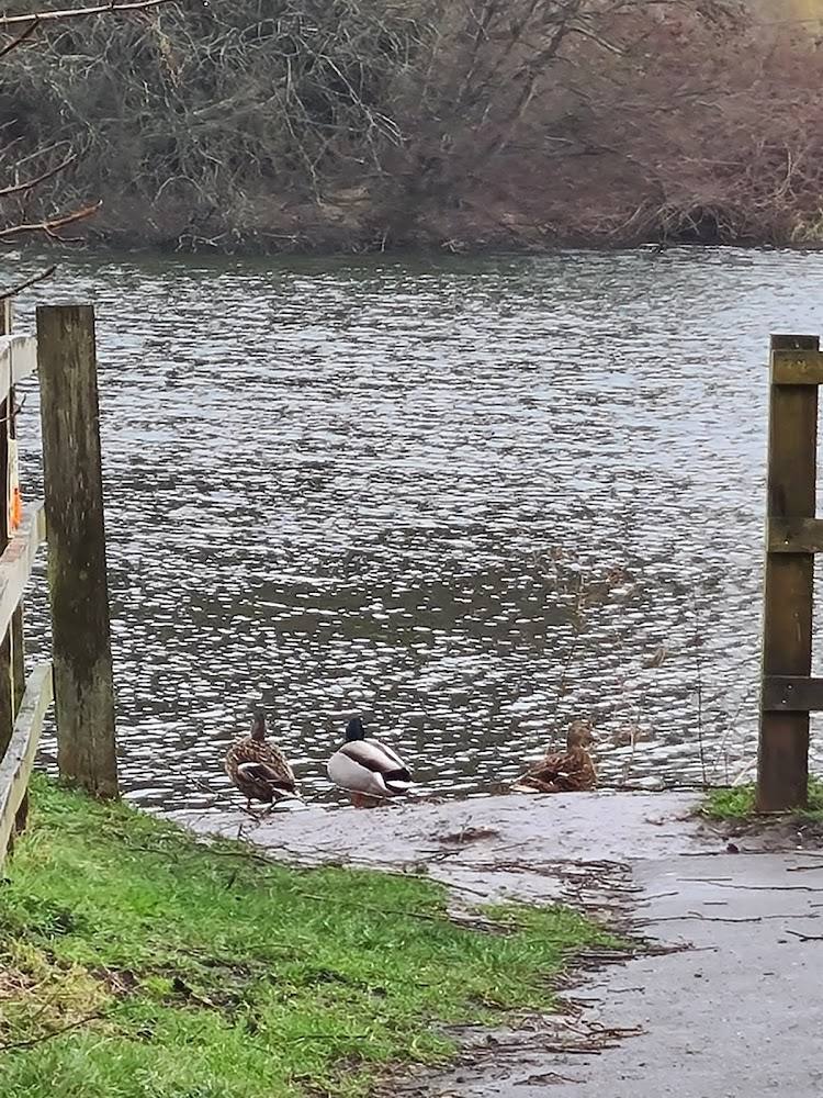
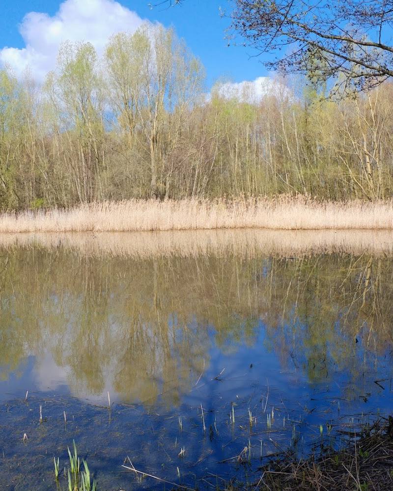
4.7At Waltham Abbey, the Lea Valley is a meeting of river landscape and long-distance path. A walk from here can follow the Lee Navigation towpath towards London, with the surroundings changing from greener valley to increasingly urban waterside.
The appeal is the contrast: a waterside route beginning by Waltham Abbey and continuing through a broad green corridor towards East London. The available information supports it as a landscape to explore on foot, rather than a single pinpoint attraction.
Peaceful
Find your way
Open mapWaltham Abbey, EN9 1JW, United Kingdom
Opening map…
Know this place a little better?
The experience
A riverside landscape in the Lea Valley, with a long-distance walking route described from Waltham Abbey towards Limehouse Basin. The supplied sources do not establish a short circular walk or visitor facilities at the map pin.
Things to do
Walk beside the Lee Navigation
The Lea Valley Walk section from Waltham Abbey towards Limehouse follows the Lee Navigation towpath through rural, industrial and urban landscapes. Confirm route details and transport before choosing a distance.
The full Waltham Abbey–Limehouse section is described as approximately 6–7 hours.
Make a day of it
Quick escape · Check route length and timing before setting out
Follow the waterside from Waltham Abbey
- 01
Use Waltham Abbey as the stated starting point for the Lea Valley Walk section.
- 02
Follow the Lee Navigation towpath, checking the route and return arrangements before you go.
- 03
Turn back when you have had enough; the supplied information does not specify a short return circuit.
When to go
· No particular time of day is established by the supplied sources.
The Lea Valley Walk planning guide describes the route as suitable year-round; local path conditions may vary.
The route includes unpaved and potentially uneven sections. Check conditions before visiting.
What to look for
Notice how the route shifts from greener waterside surroundings towards increasingly urban landscapes. The sources describe the Lee Navigation towpath as the route’s defining feature.
Best time to go
Year-round, according to the Lea Valley Walk planning guide; conditions and path surfaces may vary.
The route guide describes the Lea Valley Walk as suitable year-round. Check current conditions before setting out, particularly where paths are uneven or unpaved.
How long to spend
Half day, Full day
Perfect for
Walkers · Photographers
Before you go
Address
Google rating
Practical information
Opening & access
The supplied sources describe the wider Lea Valley and a walking route starting at Waltham Abbey, but do not confirm access arrangements for this exact map pin. Check locally before setting out; the pin is not an entrance or parking location. Access arrangements are unconfirmed. Check before visiting; do not enter private land or restricted structures.
Check before visiting
Parking
No parking information is verified for this map pin. Check before visiting.
Check before visiting
Toilets
Check before visiting.
Check before visiting
Food & drink
Check before visiting.
Check before visiting
Dogs
Check local rules before visiting; no dog permission is verified for this exact location.
Check before visiting
Accessibility
The wider route includes paved and unpaved paths; some steps, gates or uneven ground may occur, and wheelchair access is limited in places. Conditions at this specific pin are not verified.
Cost
Check before visiting
Check before visiting
Water
River
Gallery
Place photographsKeep exploring
Around Lea Valley
Within 50 km · approximate straight-line distances
 Source image6.1
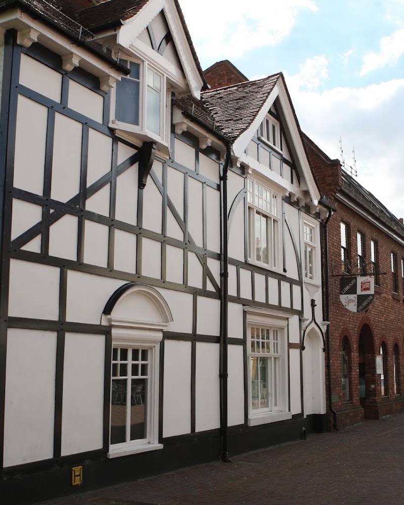
Epping Forest District Museum
39–41 Sun Street, Waltham Abbey, Essex EN9 1EL
0.8 km away
 Place photograph5.6
Cedars Nature Centre
Cedars Park, Theobalds Lane, Cheshunt, Waltham Cross EN8 8RU
2.1 km away