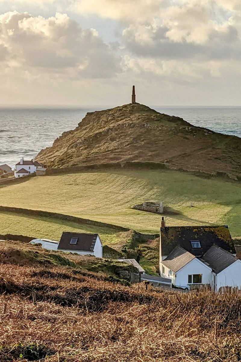
Kenidjack Headland, near St Just, Cornwall
Kenidjack Cliff Castle
Castle
Place photograph
7.7
Wildland
Half day
Time
Check
Cost
Dramatic
Feel
Why it's Wildland
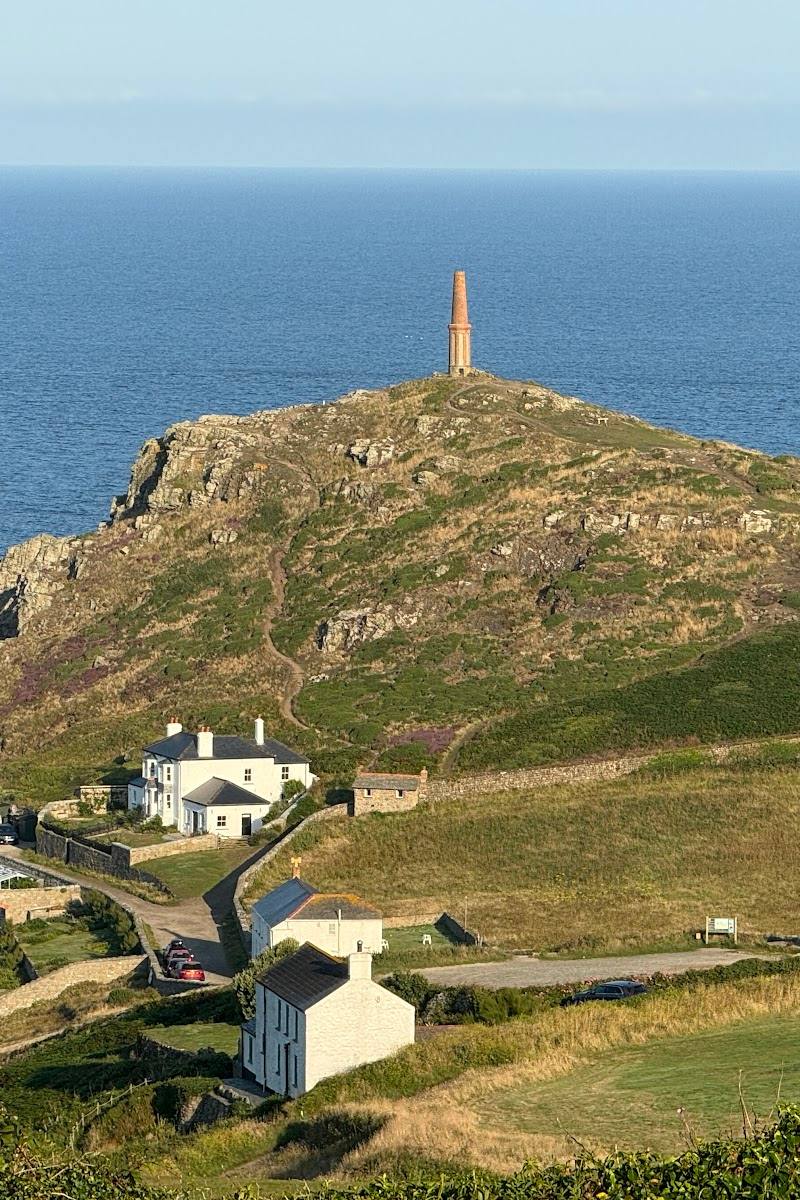
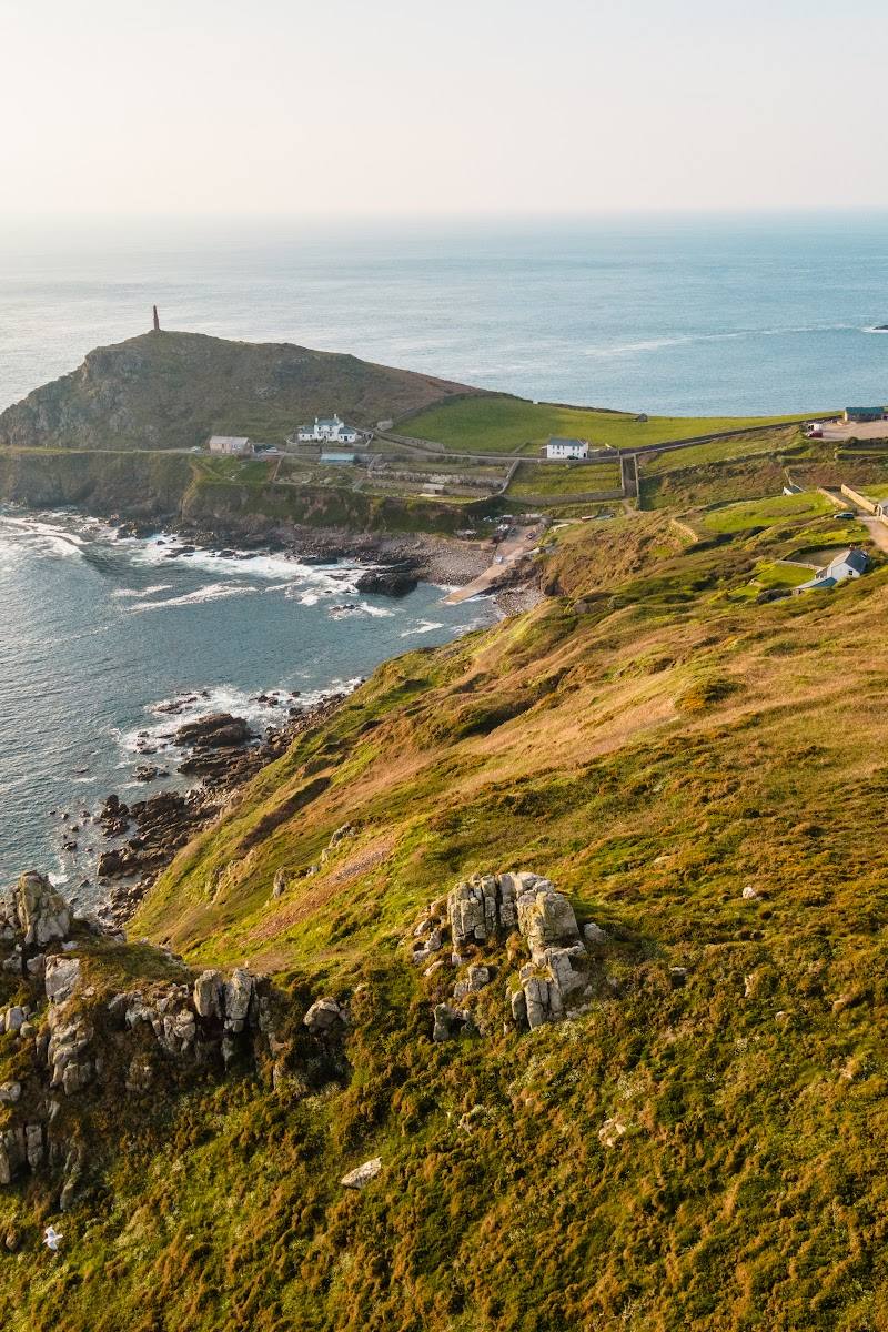
7.7An Iron Age cliff castle stands on a headland between Botallack’s mining landscape and Cape Cornwall, with the coast path bringing its ramparts and sea-facing setting together.
This is more than a dramatic name on a map: the headland holds an Iron Age cliff castle within a rugged stretch of the Tin Coast, reached on a walk past the remains of Cornwall’s mining history. The exposed terrain and nearby mine hazards make it a place to explore carefully, not casually.
Dramatic · Atmospheric · Wild · Ancient-feeling
Find your way
Open mapKenidjack Headland, near St Just, Cornwall
Opening map…
Know this place a little better?
The experience
Visit as part of the National Trust’s Botallack–Kenidjack coastal walk. The castle is on the headland, north of the rifle butts; from there, the route continues down towards Kenidjack Valley. Keep to the path and well back from cliff edges and old mine workings.
Things to do
Find the cliff-fort remains
On the National Trust route, look for the Iron Age cliff castle on Kenidjack Headland, north of the rifle butts.
Walk the Botallack–Kenidjack circuit
Take the National Trust’s 5.6 km circular route across clifftop heathland, connecting mining heritage with the headland fort. The route is rated moderate and has steep descents, steps and stiles.
2 hours
Look towards Cape Cornwall
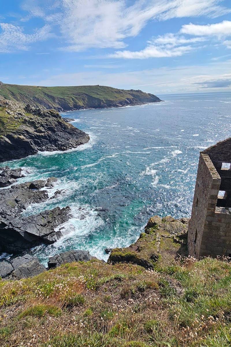
The supplied source describes views from Kenidjack Headland towards Cape Cornwall; pause to take in the headland’s position on the coast.
Notice the mining landscape
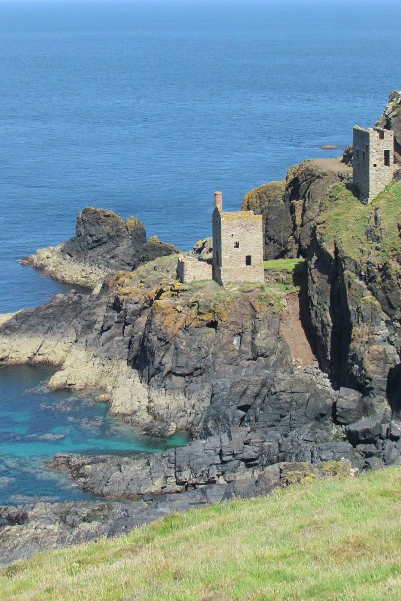
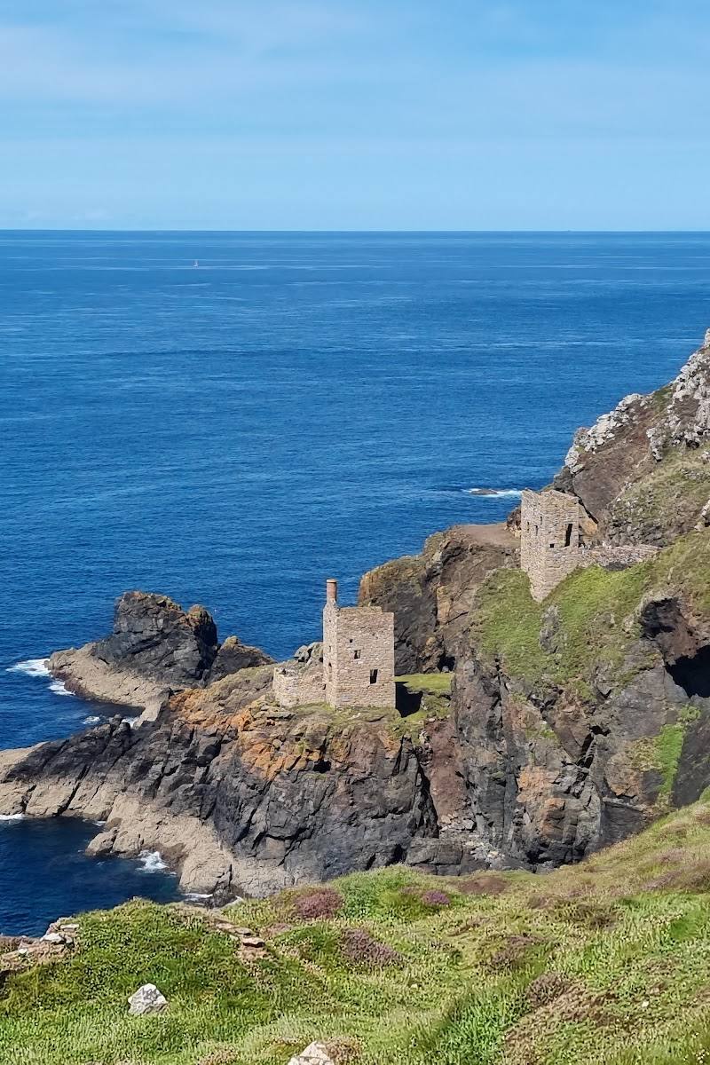
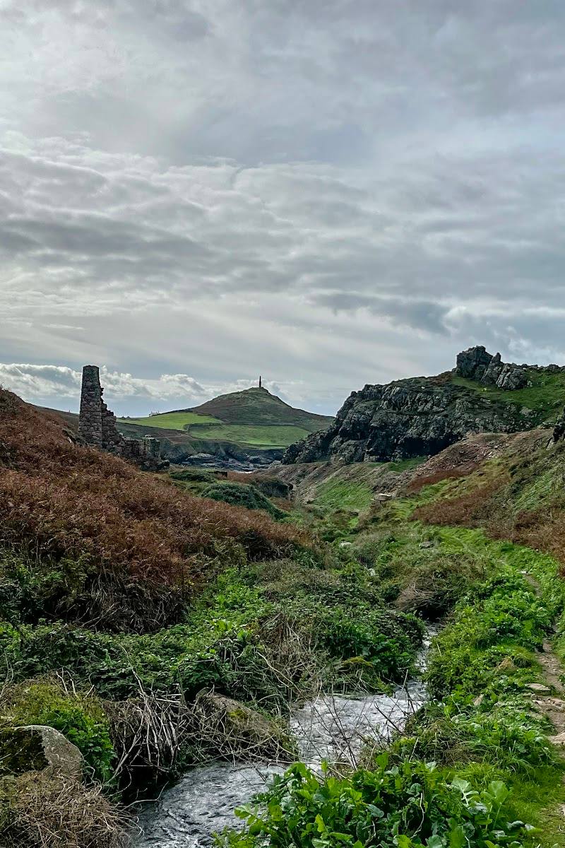
The coastal route passes historic mining remains, including engine houses and old mine workings. Keep to the path and heed the National Trust’s warnings about cliff edges and mine shafts.
Make a day of it
Quick escape · Check locally; the source does not give a standalone visit time.
Quick escape: the headland fort
- 01
Start from Botallack National Trust car park, grid reference SW365332.
- 02
Follow the National Trust coastal route towards Kenidjack Headland.
- 03
Visit the Iron Age cliff castle north of the rifle butts, then return by the route you came.
Half day · 2 hours; 5.6 km; moderate, according to the National Trust.
Half day: Botallack and Kenidjack coastal circuit
- 01
Begin at Botallack National Trust car park and pass Botallack Count House.
- 02
Follow the route by the mining remains and clifftop heathland towards Kenidjack Headland.
- 03
Explore the Iron Age cliff castle from the path, then continue along the signed circular route.
- 04
Allow extra time for the rugged ground, steep descents, steps and stiles.
Verified history
The National Trust identifies the site on Kenidjack Headland as an Iron Age cliff castle. Its coastal route places the fort among the Tin Coast’s mining remains. A separate supplied account describes the wider Kenidjack Valley as a historic tin-mining landscape, but the evidence here does not establish a more detailed chronology for the fort itself.
Folklore & legend
A local legend recorded in the supplied account tells of a priest murdered at Kenidjack Castle whose hands supposedly left a cross-shaped mark on a rock. The account notes that it found no local record confirming the killing; treat the story as folklore, not established history.
Hidden details
Check the ground, not just the horizon — The National Trust warns that old mine shafts are present in places along the walk. Stay on the route and follow warning signs.
When to go
· Choose a clear, settled spell; no specific best time of day is established by the supplied sources.
The supplied evidence does not establish a seasonal peak. Conditions on this exposed coastal route matter more than an unsupported month recommendation.
Exposed coastal paths, steep drops and old mine shafts are specifically noted hazards. Check weather and current route conditions, keep well back from cliff edges, and follow signs.
The route
- stiles
- Stiles present
- surface
- Rugged coast path, clifftop paths and farmland; includes steps and steep descents.
- distance
- 5.6 km
- duration
- 2 hours
- difficulty
- Moderate
- waymarking
- The National Trust describes a signed route; follow current waymarks and warnings.
- route shape
- Circular
- start point
- Botallack National Trust car park, grid reference SW365332
- parking start
- Pay-and-display car park; free for National Trust members. No overnight parking or camping permitted. Check current details.
- Iron Age cliff castle on Kenidjack Headland
- Views towards Cape Cornwall
- Botallack mining remains and engine houses
- Clifftop heathland
Worth pairing with
Botallack Count House and mining remains
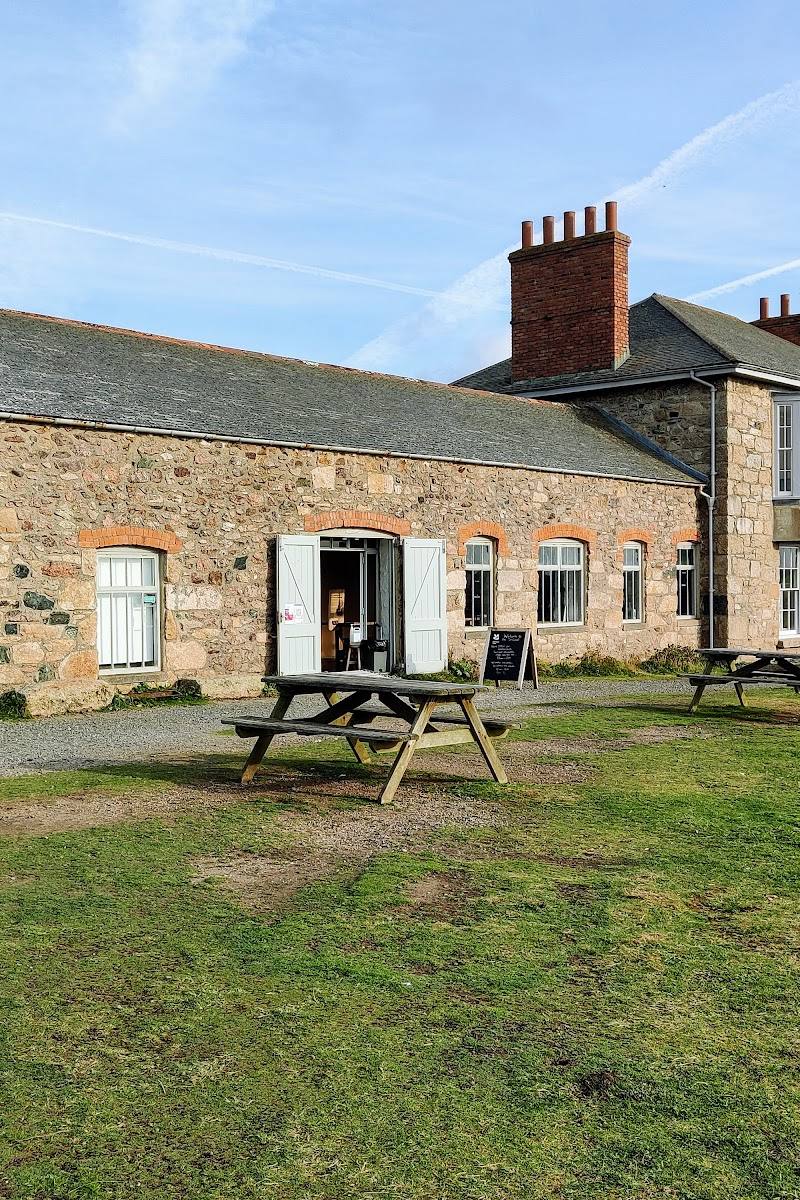
The National Trust route starts by the Count House and passes historic mining features, including engine houses. The Count House Café and toilets are reported available during opening hours; check current details.
Kenidjack Valley
A supplied local walking account describes a valley route alongside the Tregeseal River, with mining remains and the former arsenic works. Confirm the route, access and conditions before combining it with a visit to the headland.
What to look for
Look for the headland’s Iron Age cliff-fort remains and the view towards Cape Cornwall. On the wider walk, notice the mining remains, including engine houses and the old workings described on the National Trust route.
The story
Iron Age cliff fort; Cornish tin-mining landscape
Best time to go
Check conditions before visiting; the exposed coastal route can be rugged.
Choose a clear, settled day for the coastal views, and allow time for the rugged terrain. Check weather, route conditions and local access before setting out.
How long to spend
Half day
Perfect for
Walkers · History lovers · Photographers
Before you go
Address
Website
Listed hours
- Monday: Open 24 hours
- Tuesday: Open 24 hours
- Wednesday: Open 24 hours
- Thursday: Open 24 hours
- Friday: Open 24 hours
- Saturday: Open 24 hours
- Sunday: Open 24 hours
Check before visiting.
Google rating
Practical information
Opening & access
The National Trust’s Botallack–Kenidjack coastal walk passes the Iron Age cliff castle. The route is rugged, with steep descents, steps, stiles and exposed cliff edges; check current access and conditions before setting out.
Check before visiting
Parking
The National Trust’s Botallack–Kenidjack walk starts at Botallack National Trust car park, grid reference SW365332. Pay-and-display; free for National Trust members. Check current parking details before travelling.
Check before visiting
Toilets
Toilets are available at Botallack Count House during opening hours; check before visiting.
Check before visiting
Food & drink
The Count House Café serves hot and cold drinks, cakes and snacks; check current opening details.
Check before visiting
Dogs
The National Trust welcomes dogs on leads on the coast path and through farmland where cattle graze. Check current guidance and signage.
Check before visiting
Accessibility
The coastal walk has narrow and informal paths, steps, stiles, steep descents and unguarded drops, and is described by the National Trust as unsuitable for people with limited mobility. The source row also reports no wheelchair-accessible car park or entrance.
Cost
Paid parking; check before visiting
Check before visiting
Water
Sea
Gallery
Place photographs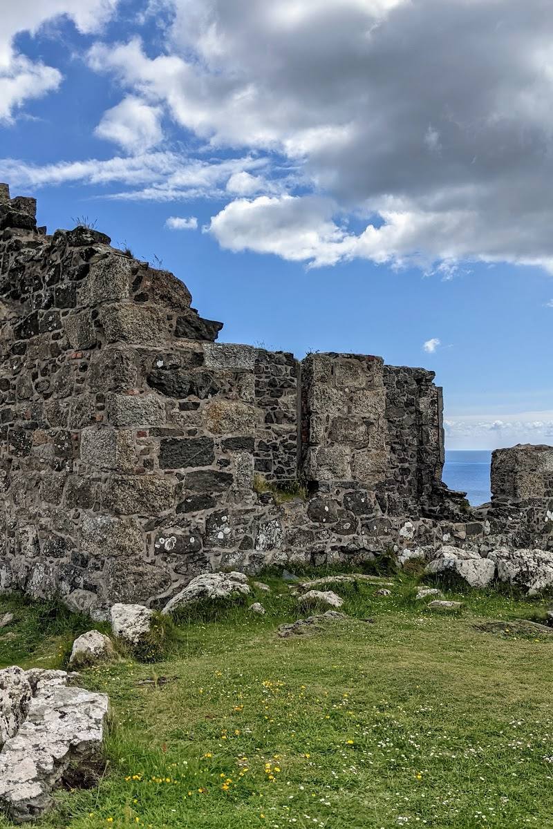
Keep exploring
Around Kenidjack Cliff Castle
Within 50 km · approximate straight-line distances