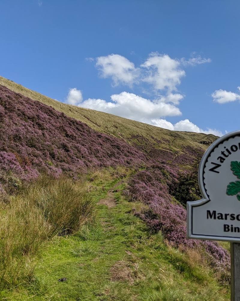
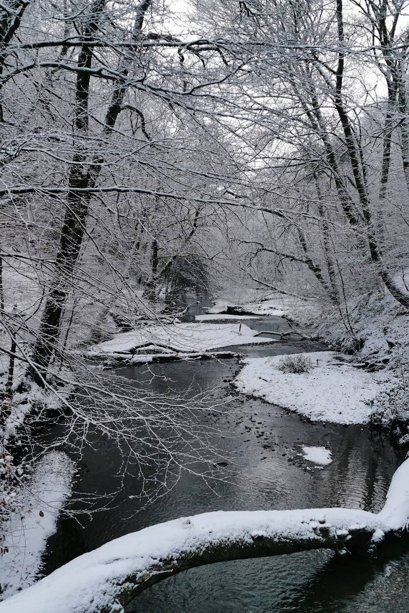
Littleborough, Rochdale, Greater Manchester, on the edge of the South Pennines.
Hollingworth Lake
Reservoir
Place photograph
5.7
Wildland
1–2 hours, Half day
Time
Check
Cost
Peaceful
Feel
Why it's Wildland
5.7Built around 1800 to help feed the Rochdale Canal, Hollingworth Lake later became a Victorian leisure resort. Today its broad water and Pennine backdrop sit alongside a lively promenade, a quieter nature-reserve shore and a level lakeside circuit.
Hollingworth Lake earns its place for the contrast between open water, Pennine scenery and the changing character of its shoreline: a lively Victorian-style promenade on one side, quieter nature-reserve paths on another, and an accessible circuit that makes the landscape easy to explore.
Peaceful · Family-buzz · Big-sky
Find your way
Open mapLittleborough, Rochdale, Greater Manchester, on the edge of the South Pennines.
Opening map…
Know this place a little better?
The experience
Walk the level lakeside circuit, pause to watch the water and surrounding hills, and explore the quieter nature-reserve shore and bird hide where accessible. For a longer outing, follow the sourced linear walk from Littleborough Station through Ealees Valley to the lake and on to Smithy Bridge Station.
Things to do
Walk the lakeside circuit
Follow the reported level circuit around the reservoir for changing views of the water and Pennine hills. The supplied research describes the route as roughly 2.5 miles; check local conditions before setting out.
About 1–1.5 hours
Visit the nature-reserve shore and bird hide
Explore the quieter southern side of the lake and look for birds from the bird hide mentioned in the supplied research. Wildlife sightings are not guaranteed.
Follow the Ealees Valley station-to-station walk
Take the described linear walk from Littleborough Station through Ealees Valley, past Hollingworth Lake and onwards to Smithy Bridge Station. The source gives a distance of 3.7 miles, a leisurely grade and an approximate walking time of two hours; surfaces vary and can be muddy or damp after wet weather.
About 2 hours
Explore Lake Bank’s promenade
See the busier lakeside promenade, described by the route source as having cafés and dining opportunities and associated with the lake’s Victorian resort character.
Make a day of it
Quick escape · About 1–1.5 hours
The easy lakeside circuit
- 01
Start from the Lake Bank area or another suitable lake-side access point; confirm parking and current access before travelling.
- 02
Follow the level path around the reservoir, taking time to enjoy the water and Pennine backdrop.
- 03
Pause at the quieter nature-reserve shore and bird hide if open and accessible.
- 04
Return to your starting point.
Half day · Half day
Lake, nature reserve and Victorian promenade
- 01
Walk the lakeside circuit at an unhurried pace, allowing time to explore the quieter southern shore and bird hide.
- 02
Continue to Lake Bank, the promenade area described in the research as a Victorian-style resort setting.
- 03
Take a break at a café or dining venue if open; check current options and hours before setting out.
- 04
Return to the water for a final view across the lake towards the surrounding hills.
Full Wildland day · A few hours, with time to extend the day
A station-to-station day through Ealees Valley
- 01
Begin at Littleborough Station and follow the described route through the tree-lined Ealees Valley towards Hollingworth Lake.
- 02
Complete almost a full circuit of the lake and take in the contrast between its open, quieter shores and the Lake Bank promenade.
- 03
Finish at Smithy Bridge Station, as described in the route source; check current rail services before travelling.
- 04
If you want to continue exploring, consider a separate visit to Rochdale Town Hall, suggested by the route source as a nearby extension; check opening arrangements independently.
Verified history
The reservoir was created around 1800 to supply the Rochdale Canal. It later developed into a Victorian leisure destination: the supplied research describes millworkers visiting the lake during their holidays and the Lake Bank promenade retaining a resort-like character. A supplied route account refers to the lake as a destination for Victorian visitors from the 1860s. The exact construction date and historical details should be checked against a specialist or official heritage source before adding further claims.
Folklore & legend
No independently verified folklore or legend is included. One travel article recounts a tragic 1869 accident as local legend; it is not presented here as established history.
Hidden details
The lake’s changing character — Notice the transition from Lake Bank’s busier promenade to the quieter nature-reserve shore. This contrast is an easy-to-miss part of the experience if you only stop at the main visitor-facing area.
A canal reservoir turned leisure resort — The lake’s appearance as a scenic destination belies its original role as a water supply for the Rochdale Canal. Its Victorian resort history is reflected in the promenade character of Lake Bank.
When to go
April · May · June · July · August · September · October · Early morning for a quieter walk, particularly on fine-weather days; check conditions before travelling.
The source row identifies spring and summer as appealing for longer days and outdoor activities, while autumn offers colour. The lake can be busy in fine weather, and winter may be quieter but exposed to changing Pennine conditions.
Conditions can change quickly in the Pennines. Check the forecast and dress for the weather; paths may be damp or muddy after rain.
The route
- ascent
- Ealees Valley route: 171 feet (52 metres) of height gain.
- stiles
- The Ealees Valley route source reports no stiles.
- surface
- The lake circuit is described as level, with hard-surfaced sections. The Ealees Valley route includes pavements, quiet roads and wide tracks; some are roughly surfaced and may be muddy or damp after wet weather.
- distance
- The lakeside circuit is reported as roughly 2.5 miles (about 4 km). The separate Ealees Valley station-to-station route is 3.7 miles (6 km).
- duration
- Lakeside circuit: about 1–1.5 hours according to one supplied source. Ealees Valley route: about 2 hours.
- difficulty
- Lakeside circuit described as level and leisurely. Ealees Valley route graded leisurely.
- route shape
- Lakeside circuit: circular. Ealees Valley route: linear from Littleborough Station to Smithy Bridge Station.
- start point
- For the Ealees Valley route: Littleborough Station, OL15 8AR. For the lake circuit, the supplied sources mention Lake Bank as an access area; confirm the best current start point before visiting.
- parking start
- Parking is reported near the lake, but current locations, availability and charges are not verified. Check before visiting.
- shorter alternative
- Walk a section of the level lakeside path and return the same way rather than completing the circuit.
- Tree-lined Ealees Valley
- Hollingworth Lake and surrounding Pennine views
- Lake Bank promenade
- Quieter nature-reserve shore and reported bird hide
- Finish at Smithy Bridge Station on the linear route
Worth pairing with
Ealees Valley
Pair the lake with the tree-lined valley on the described station-to-station walking route from Littleborough towards Smithy Bridge.
Rochdale Town Hall
The route source suggests continuing to Rochdale for a visit to the restored Town Hall and other nearby attractions. Check opening arrangements separately.
What to look for
Notice how the busy Lake Bank promenade gives way to a quieter southern shore and nature-reserve setting. Look across the reservoir to the Pennine hills, and watch for birds from the reported bird hide.
The story
Industry
Best time to go
Spring and summer for longer days and watersports; autumn for colour and a quieter-feeling visit. Expect busier conditions in fine weather.
Spring and summer bring longer daylight and are noted as good seasons for outdoor activities, but fine-weather visits can be busy. Consider an early start for a quieter walk; check the forecast, as Pennine weather can change quickly.
How long to spend
1–2 hours, Half day
Perfect for
Families · Walkers · Photographers · Wildlife lovers · Cyclists
Practical information
Opening & access
A well-used country-park destination with a level, step-free circuit around the lake. The longer Ealees Valley route begins at Littleborough Station and ends at Smithy Bridge Station; its varied surfaces and steps mean it is not suitable for wheelchair users. Check current access and travel arrangements before setting out.
Check before visiting
Parking
The source row reports parking near the lake, but current locations, availability and charges are not confirmed. Check before visiting.
Check before visiting
Toilets
The source row reports public toilets, including accessible facilities. Check before visiting for current availability.
Check before visiting
Food & drink
The source row reports a visitor-centre café; the promenade also has cafés and dining options according to the supplied research. Check opening times before visiting.
Check before visiting
Dogs
Check before visiting for current dog guidance and any restrictions.
Check before visiting
Accessibility
The lake circuit is described by the supplied research as level and step-free, with hard-surfaced sections. The longer Ealees Valley route has steps and varied surfaces and is not suitable for wheelchair users. Confirm current path conditions and facilities before travelling.
Cost
Check before visiting
Check before visiting
Water
Reservoir
Gallery
Place photographsKeep exploring
Around Hollingworth Lake
Within 50 km · approximate straight-line distances

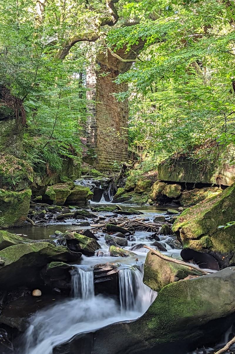
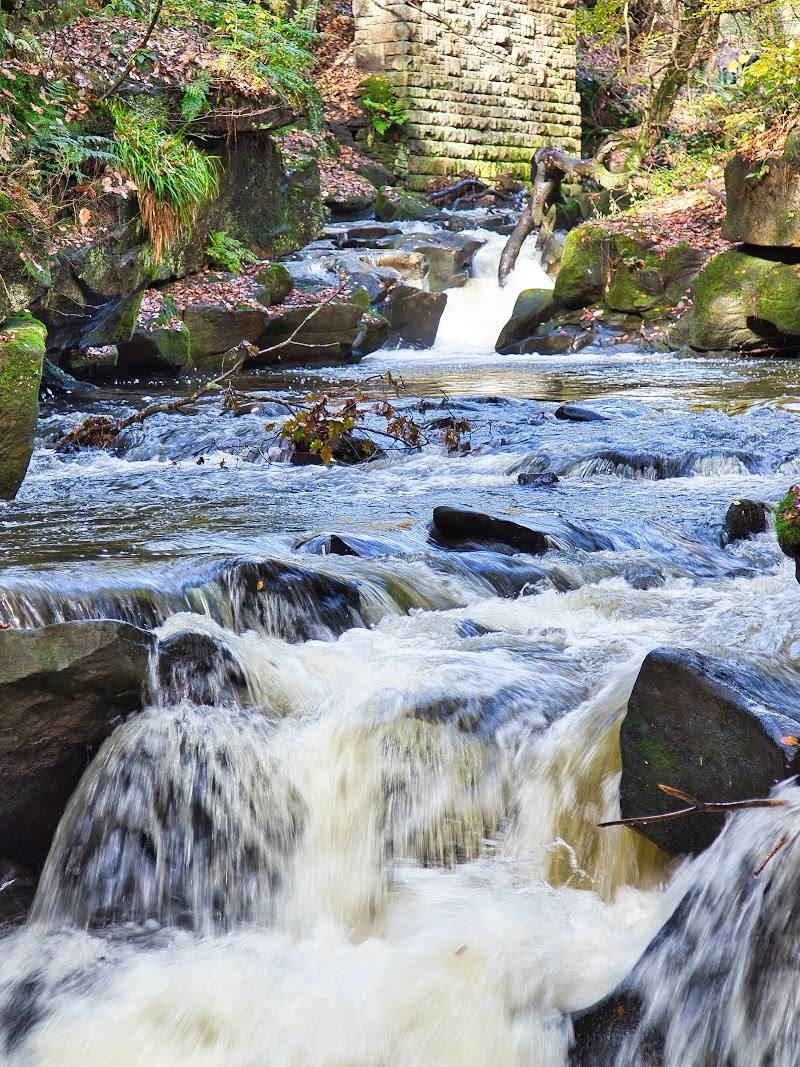 Place photograph7.1
Healey Dell Nature Reserve
Healey Dell, near Rochdale, Greater Manchester
5.8 km away
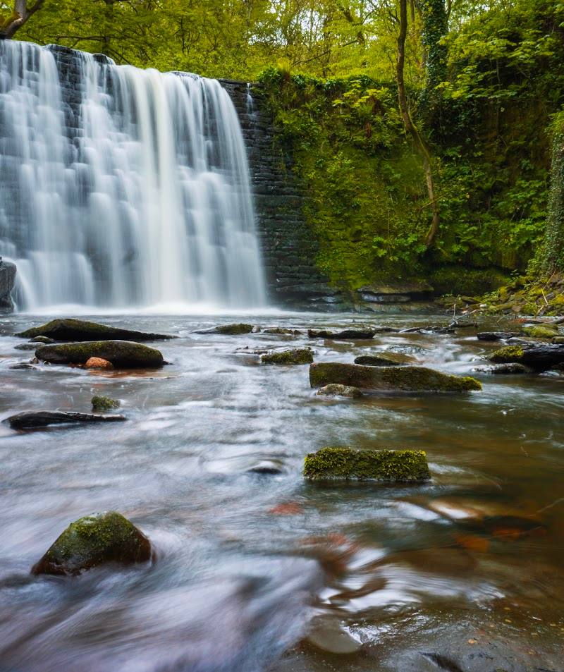 Place photograph5.2
Ashworth Waterfall
Ashworth Valley, near Heywood and Rochdale, Greater Manchester
8.4 km away
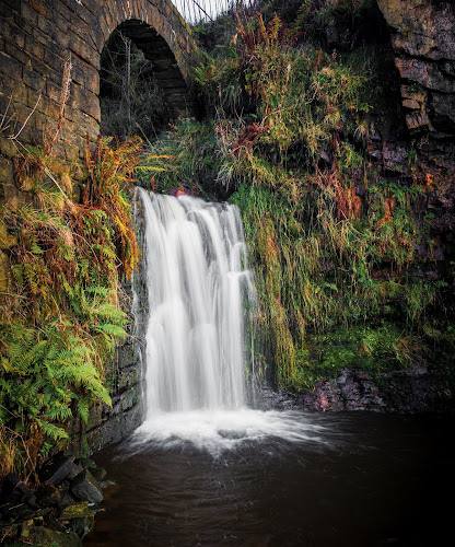 Source image6.3
Cheesden Valley
Cheesden Valley, near Bury and Rochdale, Greater Manchester
11.3 km away