Havering-atte-Bower, Romford, RM4 1PH
Havering Country Park
Parkland
Source image
6.8
Wildland
1–2 hours or half day, depending on route
Time
Check
Cost
Peaceful
Feel
Why it's Wildland
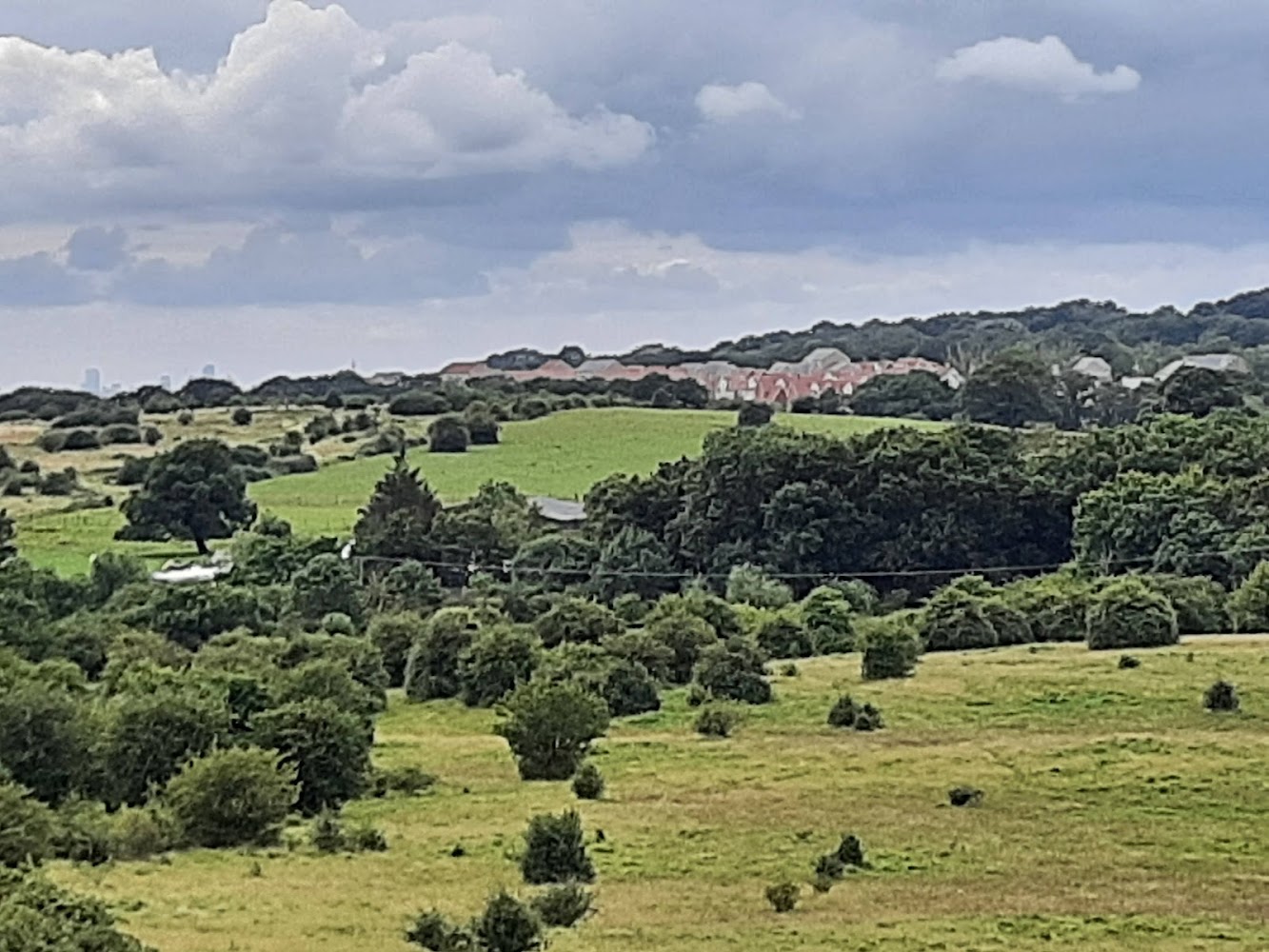
6.8Once part of the medieval royal estate of Havering, this 165-acre park now moves between open grassland and woodland. Its Wellingtonia avenue is a striking reminder of the estate’s later history.
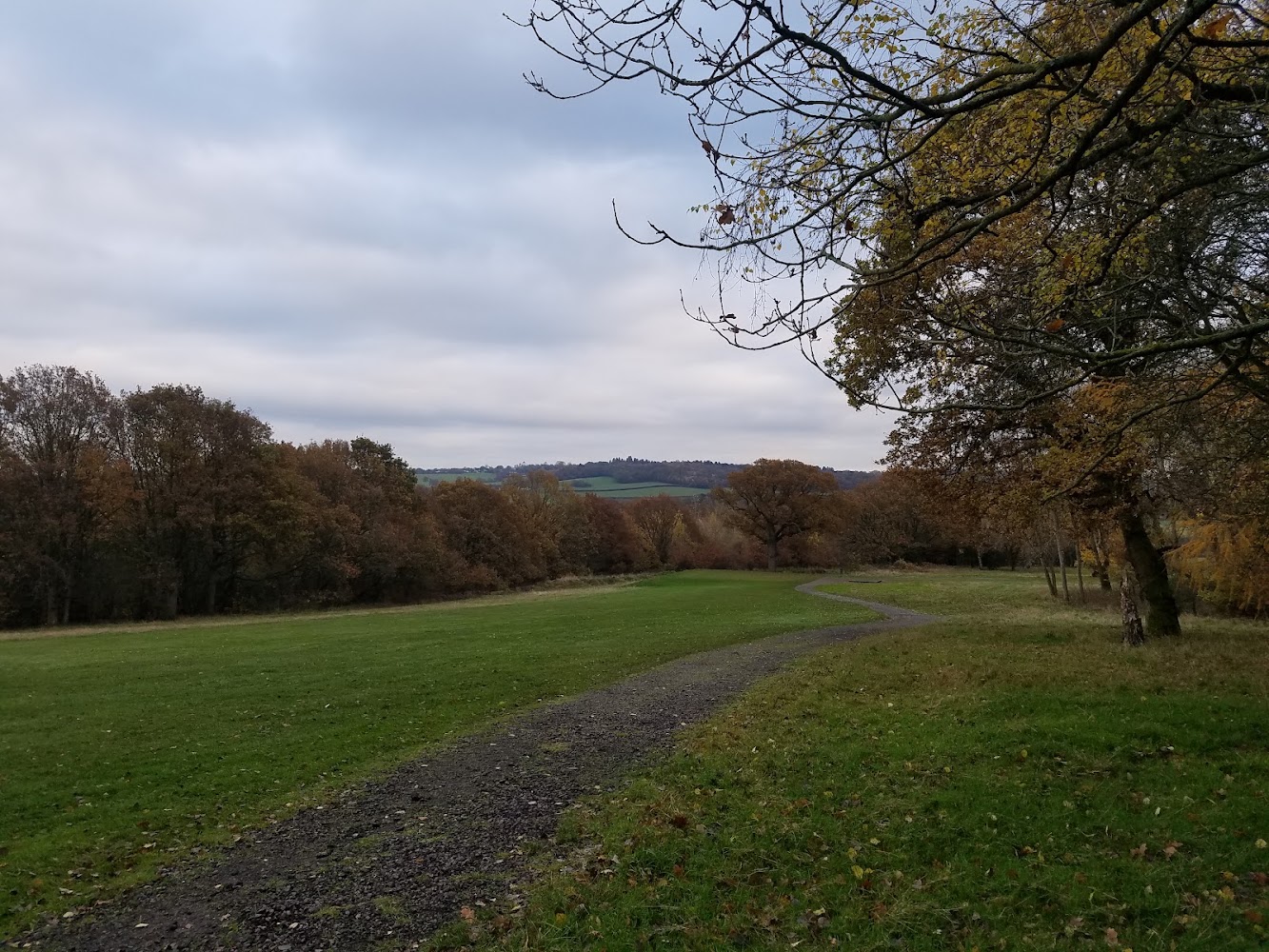
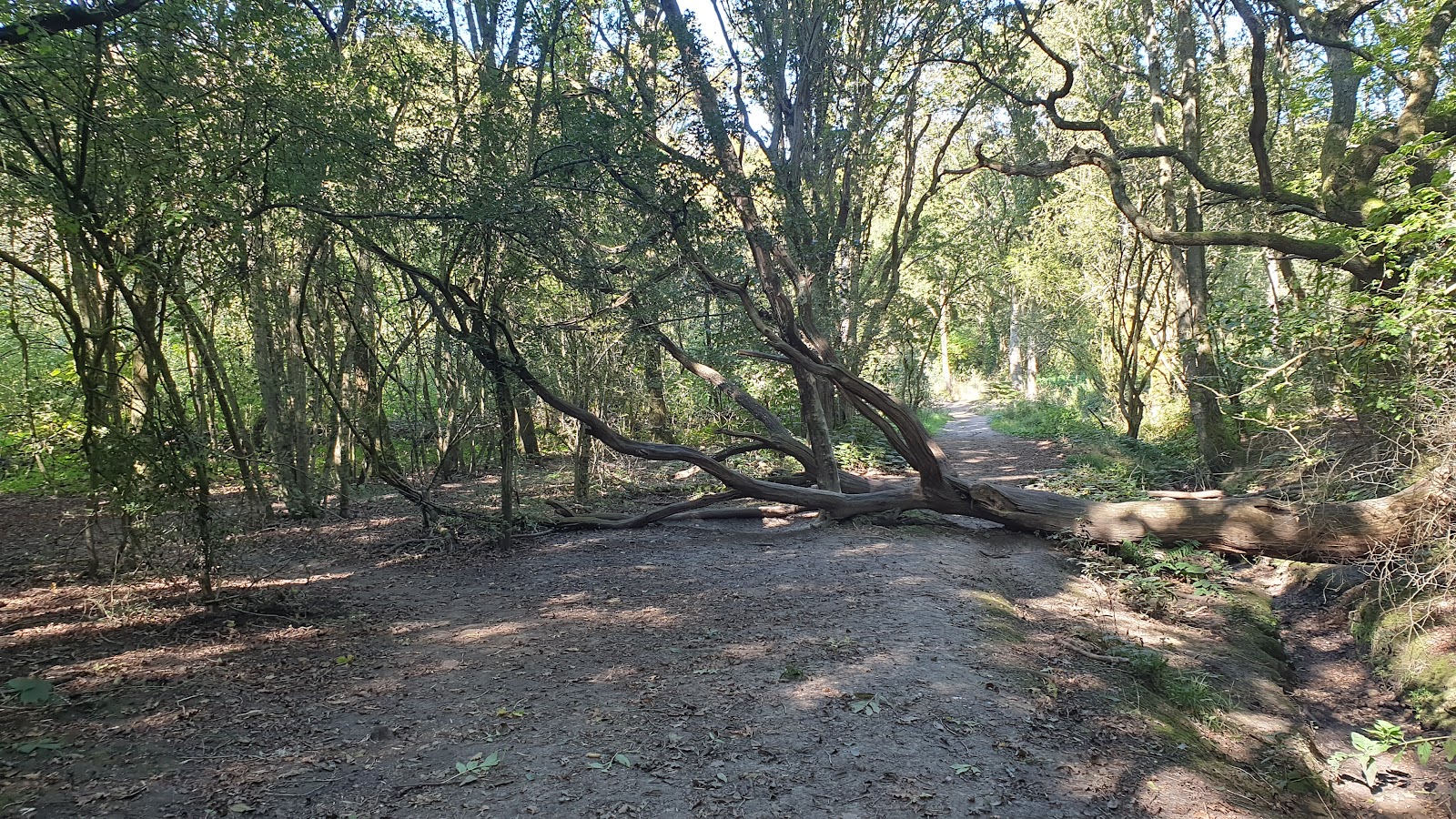
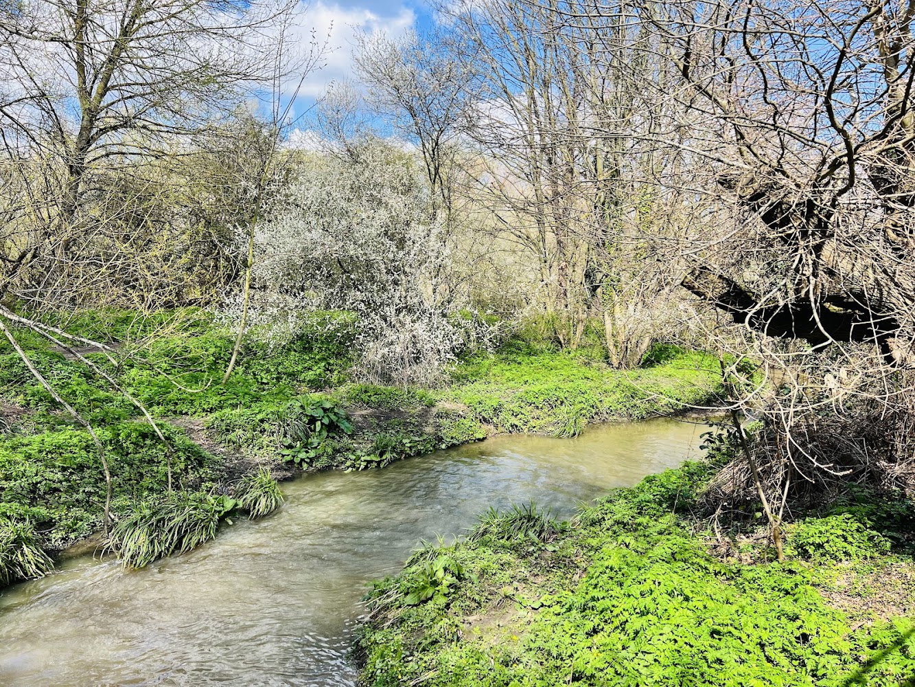
A large, varied country park with an unusual royal-estate backstory and an avenue of Wellingtonia trees that the council describes as the country’s second-largest plantation. The appeal is in the contrast between open grassland and dense woodland, rather than in a single headline attraction.
Peaceful · Atmospheric
Find your way
Open mapHavering-atte-Bower, Romford, RM4 1PH
Opening map…
Know this place a little better?
The experience
Explore the transition between meadow and woodland, then look for the Wellingtonia avenue and traces of the park’s royal-estate past. The council describes paths and bridleways but the supplied sources do not establish a named circuit or its distance.
Things to do
Walk between grassland and woodland
Use the park’s paths and bridleways to experience its transition from open grassland to dense woodland. No named circuit or route distance is verified.
Find the Wellingtonia avenue
Look for the avenue of Wellingtonia trees associated with the former Havering manor estate. The council describes it as the country’s second-largest plantation.
Look for surviving 19th-century conifers
The council says conifers planted in the 19th century remain near the site of the former house.
Make a day of it
Quick escape · About 1–2 hours; suggested, not a verified route duration
Quick Escape: woodland and Wellingtonias
- 01
Enter from one of the council-listed pedestrian access points.
- 02
Follow paths through the woodland and open grassland.
- 03
Look for the Wellingtonia avenue and return by a suitable path; no specific circuit is verified.
Half day · Half day; suggested, not a verified route duration
Make a half day of it: explore the park’s changing landscape
- 01
Start at a listed pedestrian access point.
- 02
Explore both the open grassland and wooded areas using the park’s paths and bridleways.
- 03
Pause at the Wellingtonia avenue and note the surviving 19th-century conifers near the former house site.
- 04
Check current public transport and local facilities before setting out; no specific nearby pairing is verified.
Verified history
Havering Country Park formed part of Havering Park and the estate of the medieval Royal Palace of Havering. The council traces the manor’s royal association to William the Conqueror in 1066 and records royal visits and building work over subsequent centuries. Henry III’s records include a royal bath built in 1215; a plan of the palace was made for Lord Burghley in 1576. The palace was abandoned in the 17th century. The present park occupies the western portion of the original estate: Havering Council acquired the site in 1986 and developed it as a 165-acre country park. The council also reports that the site was previously used as plotlands, with rented bungalow-style buildings.
Hidden details
The estate’s surviving conifers — Look near the former house site for coniferous trees planted in the 19th century by the McIntosh family, many of whose plantings the council says remain in the park.
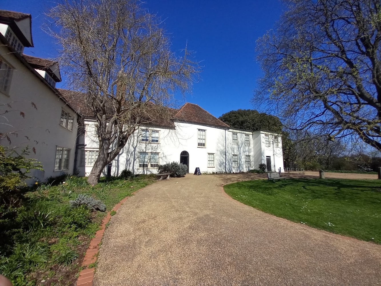
A palace story in the landscape — The park was part of the estate of Havering’s medieval royal palace. The supplied source records the palace’s royal connections but does not identify visible palace ruins within the park.
When to go
· No specific time of day is established by the supplied sources.
The sources describe woodland, meadowland and grassland but do not verify particular seasonal wildlife or flowering highlights.
No specific weather guidance is given in the supplied sources. Check conditions and path suitability before setting out.
What to look for
- 01
The Wellingtonia avenue, which the council says is the country’s second-largest plantation
- 02
the shifts between open grassland and dense woodland
- 03
and surviving conifers planted in the 19th century near the former house site.
The story
Royalty; historic estate
Best time to go
Spring and summer for woodland and meadow walks; autumn for changing foliage. Exact seasonal highlights are not specified by the supplied sources.
Choose a clear day for the open grassland and woodland contrast. The supplied sources do not identify a specific best time of day.
How long to spend
1–2 hours or half day, depending on route
Perfect for
Walkers · Photographers · History lovers
Before you go
Address
Phone
Website
Listed hours
- Monday: 7am-6pm
- Tuesday: 7am-6pm
- Wednesday: 7am-6pm
- Thursday: 7am-6pm
- Friday: 7am-6pm
- Saturday: 7am-6pm
- Sunday: 7am-6pm
Check before visiting.
Google rating
Practical information
Opening & access
The council says there are no restrictions on access. Pedestrian access is available from Clockhouse Lane, Wellingtonia Avenue and Pinewood Road.
Parking
No car park on site. Pedestrian access is from Clockhouse Lane, Wellingtonia Avenue and Pinewood Road. Bus routes 365, 375 and 294 serve the park; check current services before travelling.
Check before visiting
Toilets
Check before visiting
Check before visiting
Food & drink
Check before visiting
Check before visiting
Dogs
Check current rules before visiting
Check before visiting
Accessibility
The source row reports a wheelchair-accessible car park and entrance, but the council page says there is no car park on site. Check the council’s accessibility information before visiting; path surfaces and route suitability are not established by the supplied evidence.
Check before visiting
Cost
Check before visiting
Check before visiting
Gallery
Place photographsKeep exploring
Around Havering Country Park
Within 50 km · approximate straight-line distances