Fyfield Down, near Marlborough, Wiltshire
Fyfield Down
Mixed-habitat reserve
Place photograph
6.6
Wildland
1–2 hours
Time
Check
Cost
Big-sky
Feel
Why it's Wildland
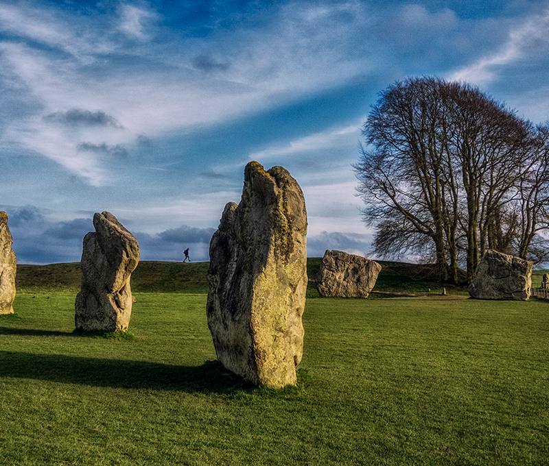
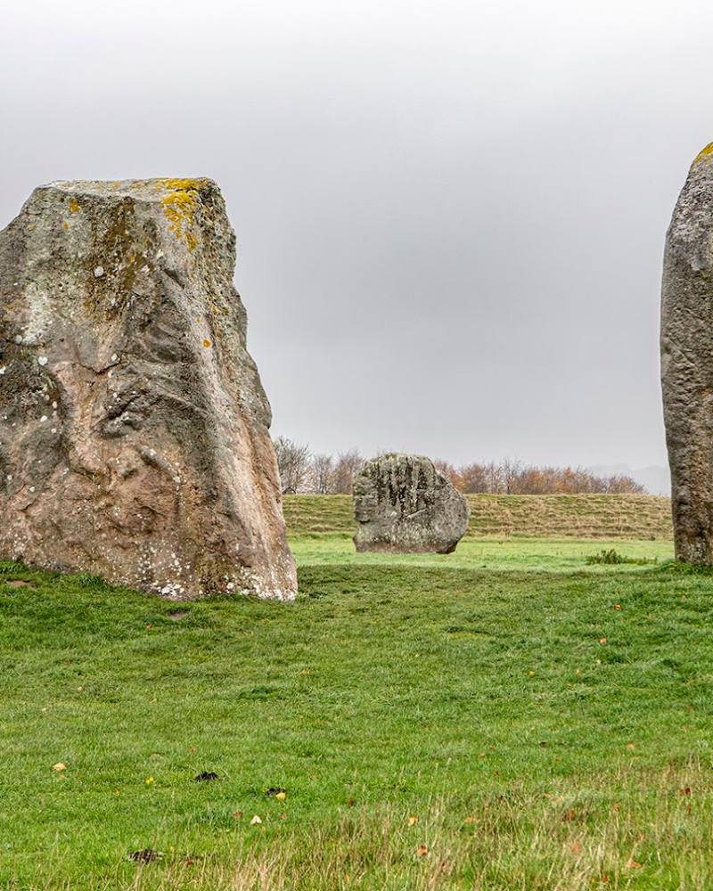
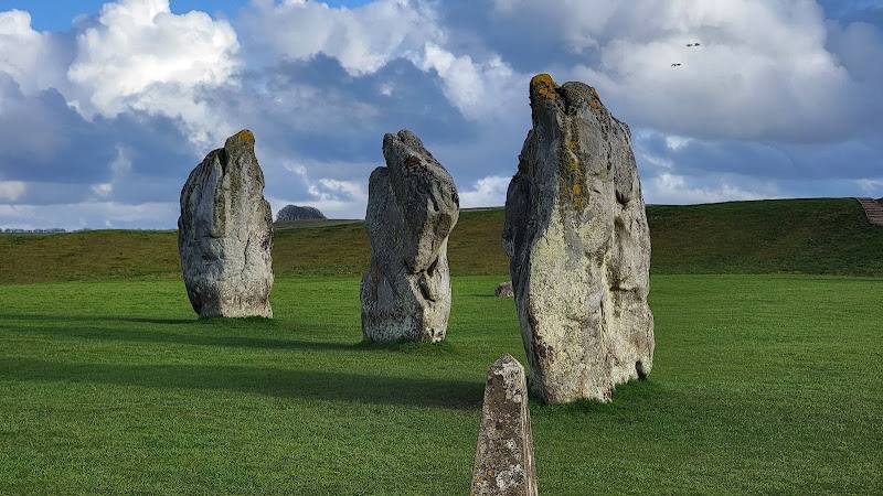
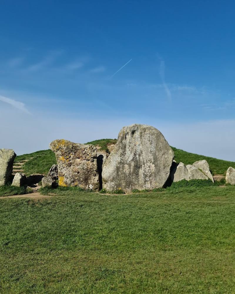
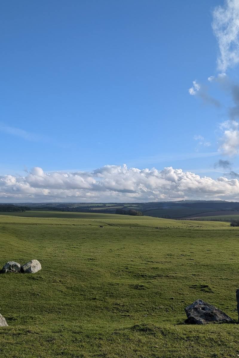
6.6Across the open chalk downland, hundreds of grey sarsen stones lie scattered through the grass, creating a landscape that feels both spacious and unexpectedly ancient.
Fyfield Down pairs broad Marlborough Downs views with an unusual spread of prehistoric sarsen stones. Its open, spacious landscape and walking routes offer a distinctive countryside outing beyond the better-known sites nearby.
Big-sky · Ancient-feeling · Wild
Find your way
Open mapFyfield Down, near Marlborough, Wiltshire
Opening map…
Know this place a little better?
The experience
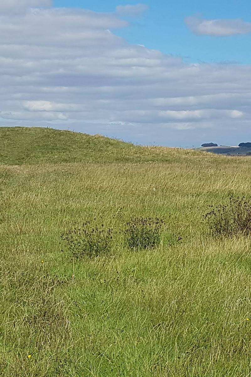
Explore open downland on foot, taking in rolling chalk hills, wide views and scattered sarsen stones. A published circular walk provides a roughly two-hour option.
Things to do
Walk the Fyfield Down circular route
A published medium route crosses open chalk downland, with rolling hills, scattered sarsen stones and views across the surrounding downs.
About 2 hours
Look for the grey wethers
Pick out the scattered sarsen stones across the downland. From a distance, their shape has been likened to sheep.
Make a day of it
Quick escape · 1–2 hours
Quick Escape: find the sarsen stones
- 01
Choose a walking route across Fyfield Down.
- 02
Explore the open chalk downland and look for scattered sarsen stones.
- 03
Allow time to take in the wide views across the Marlborough Downs.
Half day · Half day
Make a half day of the downland
- 01
Follow the published 4¼-mile circular route, estimated at about two hours.
- 02
Pause among the sarsen stones and take in the rolling chalk hills and expansive views.
- 03
Allow extra time for the route’s climbing and possible muddy conditions.
Verified history
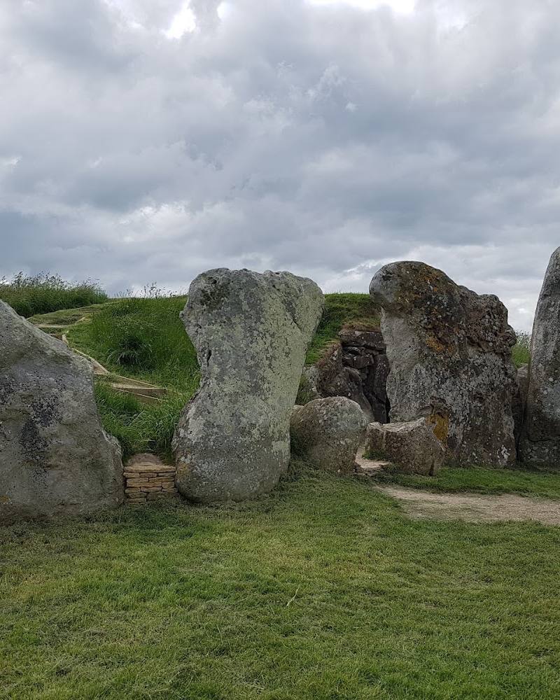
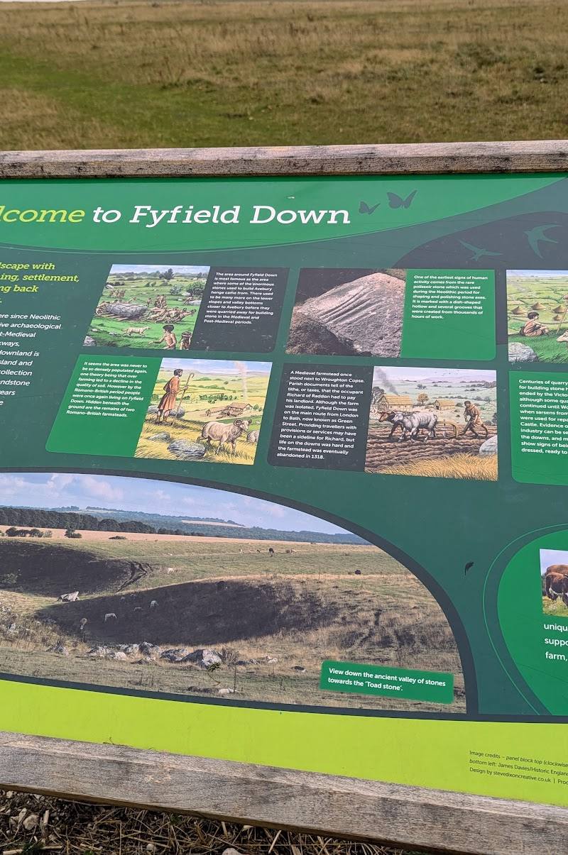
Fyfield Down is described as a National Nature Reserve within the Avebury World Heritage Site. Its landscape contains hundreds of sarsen stones, and one supplied account suggests the stones may have been a source for those used at Stonehenge. That proposed connection is presented here as a possibility, not a confirmed fact.
Hidden details
Why “grey wethers”? — The scattered sarsen stones are known as grey wethers because, seen at a distance, they can resemble a flock of sheep.
Look across the whole stone-strewn landscape — The reserve’s sarsens are spread across open downland; the scale of the scatter is easier to appreciate as part of a walk than from a single viewpoint.
When to go
April · May · June · September · October · A clear morning or afternoon, when visibility is good across the open downs.
The published walking information describes an open landscape with wide views. Spring to autumn is a reasonable time for a countryside walk, but the supplied sources do not identify a specific seasonal wildlife spectacle.
The route is exposed, includes some climbing and may be muddy after wet weather. Check the forecast and ground conditions before setting out.
The route
- stiles
- A stile or two reported
- surface
- Open downland paths; may be muddy after wet weather
- distance
- 4¼ miles
- duration
- About 2 hours
- difficulty
- Medium; some climbing
- route shape
- Circular
- Scattered sarsen stones
- Rolling chalk hills
- Wide views across the Marlborough Downs
What to look for
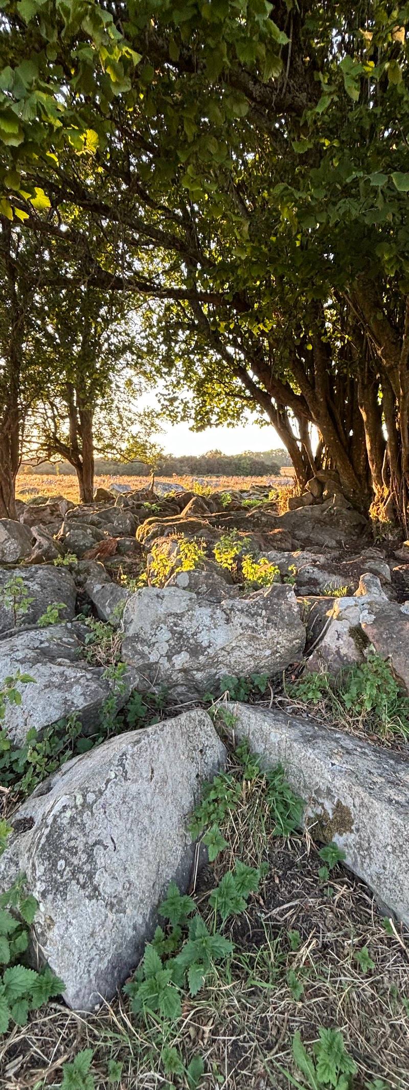
Look for the scattered grey sarsen stones, sometimes called grey wethers for their resemblance to sheep at a distance, and notice how they sit across the open chalk landscape.
The story
Archaeology
Best time to go
Spring to autumn for walking the open downland; conditions can be muddy after wet weather.
Choose a clear day for the expansive views across the Marlborough Downs. The open terrain offers little shelter, and paths may be muddy after wet weather.
How long to spend
1–2 hours
Perfect for
Walkers · Photographers · History lovers
Before you go
Address
Google rating
Practical information
Opening & access
Walking routes cross open downland. Paths may be exposed and can be muddy after wet weather; livestock may be present. Check current access and route conditions before visiting. Access arrangements are unconfirmed. Check before visiting; do not enter private land or restricted structures.
Check before visiting
Parking
Check before visiting; no parking information was found in the supplied sources.
Check before visiting
Toilets
Check before visiting.
Check before visiting
Food & drink
Check before visiting.
Check before visiting
Dogs
Livestock may be present. A route user report advises keeping dogs on leads near the horse-racing course and where livestock are in fields; check current local rules.
Check before visiting
Accessibility
The supplied listing data says the entrance is not wheelchair accessible. A route source reports some climbing, stiles and paths that may be muddy after rain; check conditions and suitability before setting out.
Check before visiting
Cost
Check before visiting
Check before visiting
Gallery
Place photographsKeep exploring
Around Fyfield Down
Within 50 km · approximate straight-line distances