Northeast Aberdeenshire coast, near Collieston and the Ythan Estuary, Scotland
Forvie National Nature Reserve (Waterside car park)
Mixed-habitat reserve
Place photograph
7.5
Wildland
1–2 hours to Half day
Time
Check
Cost
Wild
Feel
Why it's Wildland
7.5At Forvie, wind and tide keep rearranging the coast: shifting dunes, open heath and the Ythan Estuary meet around the surviving walls of a medieval church.
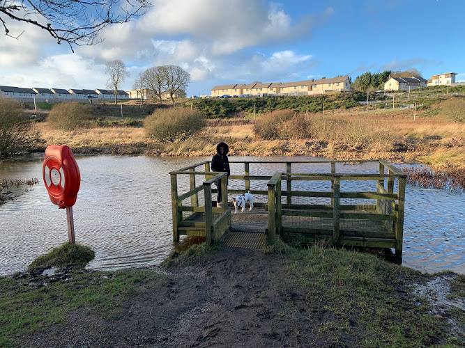
This is a substantial, varied coastal reserve where dunes, heathland, estuary and sea come together with a remarkable wildlife story. The remains of Forvie Church add a human trace to a landscape that is still being reshaped by sand and wind.
Wild · Big-sky · Atmospheric · Secluded
Find your way
Open mapNortheast Aberdeenshire coast, near Collieston and the Ythan Estuary, Scotland
Opening map…
Know this place a little better?
The experience
Explore a changing coastal landscape on foot: follow a waymarked trail through dunes and heath, look across the Ythan Estuary for birdlife, and visit the remains of Forvie Church where access is open. Routes and seasonal closures vary, so follow current signs.
Things to do
Walk a waymarked Forvie trail
Choose a reserve trail suited to your time and ability. Routes cross distinctive dune and heath landscapes; check current path conditions and seasonal access signs.
Varies by route
Look for birds across the estuary and reserve
Watch from paths, the Waulkmill hide or other designated viewing areas. Give breeding and roosting birds space, and obey seasonal closures.
Find the remains of Forvie Church
Where the route is open, look for the surviving church walls in the landscape of the lost medieval village. Check signs before approaching, especially during seasonal bird-protection closures.
Visit the Forvie Centre
When open, explore displays and tactile exhibits about Forvie. The centre also provides access to a short easy-access trail and toilets during opening hours.
Make a day of it
Quick escape · About 1–2 hours
Quick Escape: Waterside and the dunes
- 01
Start at Waterside car park and follow a waymarked section of the reserve trail.
- 02
Take in the estuary and dune landscape from the route, watching for birds without disturbing wildlife.
- 03
Turn back or complete a short loop only where current paths and seasonal signs allow.
Half day · Half day
Make a Half Day of It: dunes, coast and Forvie Church
- 01
Begin at the Waterside car park and take a longer waymarked walk through the reserve’s dune and heath landscapes.
- 02
Where paths are open, continue towards the coast and Hackley Bay, allowing extra time for soft sand and uneven ground.
- 03
Include the remains of Forvie Church if the route is open and signs permit access.
- 04
Return by an available waymarked route; check seasonal restrictions before choosing your circuit.
Verified history
The remains of a 12th-century church survive at the site of Forvie’s medieval village. The village was lost as sand encroached on the landscape; the supplied trail source describes it as overwhelmed by drifting sands in the 15th century. A story that a curse caused the loss is folklore, not established history.
Folklore & legend
A local legend links the village’s fate to a curse said to have followed a woman being cheated out of her inheritance. Treat this as folklore: the supplied sources do not establish it as the cause of the village’s loss.
Hidden details
A church amid the shifting sands — The surviving walls of the 12th-century church mark the former village site, a striking human remnant within a landscape shaped by moving dunes. Visit only where current access signs permit.
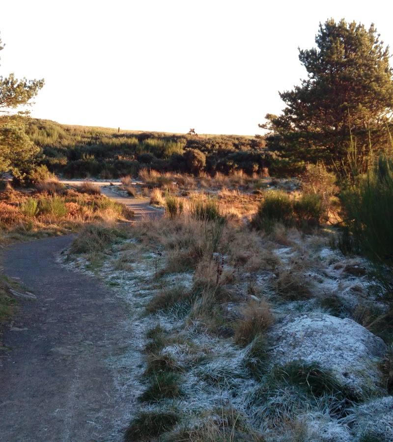
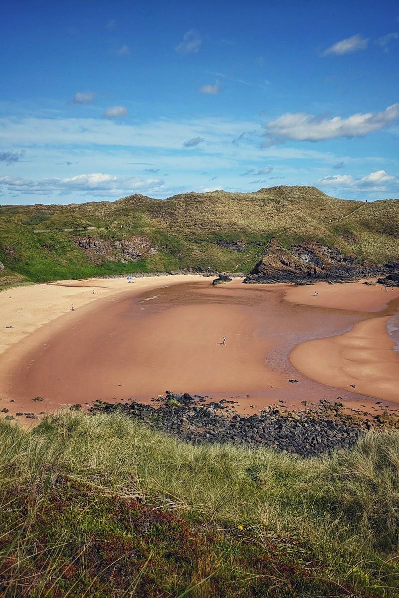
Notice how many landscapes meet — On a single walk, look for the transition between open heath, shifting dunes, beach and the Ythan Estuary’s mudflats.
When to go
April · May · June · July · August · September · October · Early morning for a quieter walk and time to watch wildlife; keep a respectful distance and follow reserve guidance.
Spring and summer bring nesting bird activity and summer orchids, while autumn and winter bring different seasonal birdlife. From 1 April to 31 August, the southern reserve is closed to protect breeding birds, so check current signs and plan around restrictions.
Coastal weather can change quickly. The source row recommends layers and preparation for changing conditions. Soft sand and uneven ground may make walking slower; check conditions before setting out.
The route
- ascent
- Check before visiting
- stiles
- Check before visiting
- surface
- Dune sand, heathland and other reserve paths; surfaces may be soft or uneven.
- distance
- The reserve has waymarked trails of varying lengths; the source directory gives a range of 1–3.5 miles (1.5–6 km).
- duration
- Varies by route; allow extra time for soft sand and wildlife watching.
- difficulty
- Varies by route; some dune sections may be challenging.
- waymarking
- Waymarked paths are reported; follow current signage, including seasonal closure signs.
- route shape
- Multiple waymarked trails; route shape depends on the chosen trail.
- start point
- Waterside car park is a reported reserve access point. Other trails start at the Forvie Centre.
- parking start
- Waterside car park; current availability and charges: Check before visiting.
- shorter alternative
- Choose a shorter waymarked section from the Waterside car park or Forvie Centre; check current trail information and seasonal closures.
- Shifting dunes and coastal heath
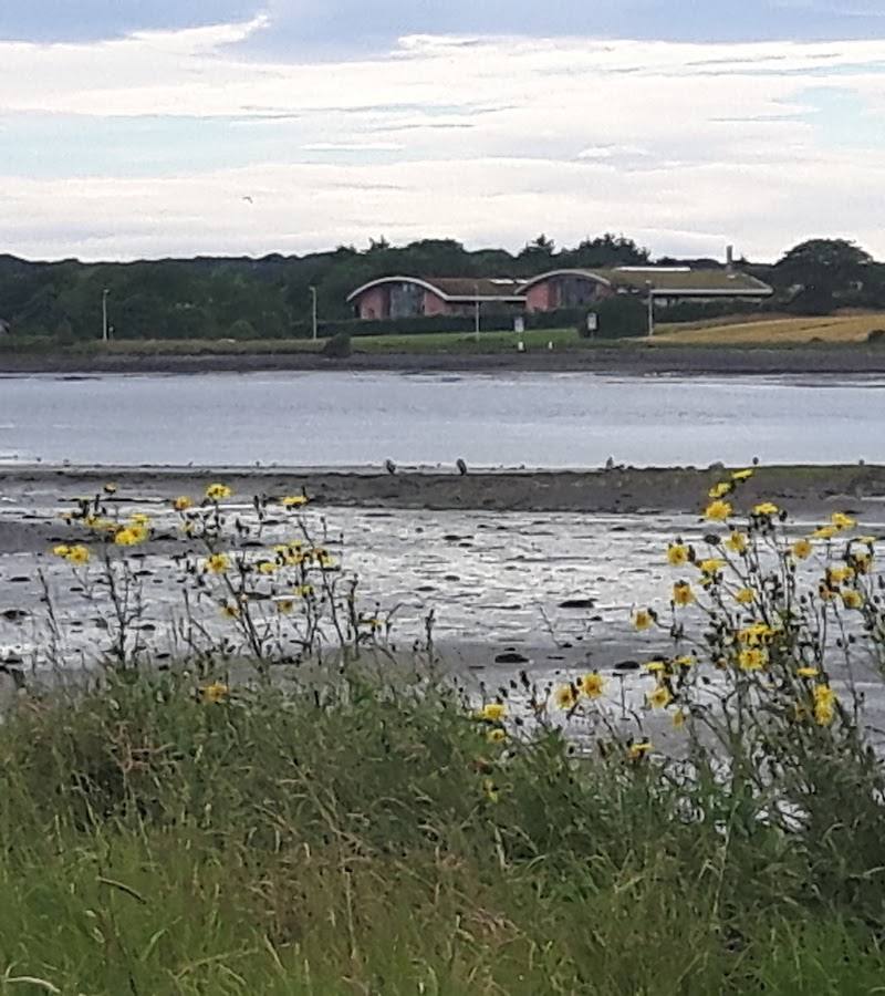
- Ythan Estuary and birdlife
- Forvie Church remains where accessible
Worth pairing with
Forvie Centre
Pair a walk with the reserve’s visitor displays and tactile exhibits when the centre is open; toilets are available during opening hours.
Waulkmill wildlife hide
A bird hide overlooking estuary mudflats offers another wildlife-watching stop. Confirm the route and access arrangements before visiting.
What to look for
- 01
Look for the contrast between shifting sand dunes, heathland and estuary mudflats
- 02
watch for birds from appropriate paths and viewing points. Where access is open, notice the surviving walls of Forvie Church amid the dune landscape.
The story
Medieval village and church; shifting dunes and coastal landscape
Best time to go
Year-round; spring and summer bring nesting bird activity and summer orchids, while autumn and winter offer seasonal birdlife. Check for seasonal access restrictions.
Spring and early summer bring nesting seabirds and summer orchids, but the southern reserve has seasonal closures from 1 April to 31 August. Autumn and winter bring different birdlife. An early start can give you a quieter walk; prepare for changeable coastal weather.
How long to spend
1–2 hours to Half day
Perfect for
Walkers · Wildlife lovers · Photographers · History lovers
Practical information
Opening & access
The reserve has waymarked paths and access from the Waterside car park. Parts of the southern reserve, including dunes and intertidal areas, are closed from 1 April to 31 August to protect breeding birds. Follow signs and check current access information before setting out.
Check before visiting
Parking
Waterside car park is identified as a reserve access point. Parking charges and current availability: Check before visiting.
Check before visiting
Toilets
Toilets are available when the Forvie Centre is open. Community-run public toilets are also available at Collieston harbour; donations are appreciated.
Food & drink
No café or shop on site is reported in the source row. Bring refreshments; check before visiting for current options.
Check before visiting
Dogs
Dogs should be kept under close control or on a short lead in the eider zone during the breeding season. Prevent dogs approaching winter roosting birds and follow reserve signs.
Accessibility
A short easy-access trail with wheelchair-accessible picnic tables leads onto the reserve from the Forvie Centre. Other paths cross dunes and may be soft or uneven; check route suitability before visiting.
Check before visiting
Cost
Check before visiting
Check before visiting
Water
Sea, estuary
Gallery
Place photographsKeep exploring
Around Forvie National Nature Reserve (Waterside car park)
Within 50 km · approximate straight-line distances
 Place photograph7.6
Bullers of Buchan
Bullers of Buchan, north of Cruden Bay, Aberdeenshire, Scotland
15.3 km away
 Place photograph7.4
Longhaven Cliffs Nature Reserve
Longhaven, near Peterhead, Aberdeenshire, Scotland
16.6 km away
 Place photograph6.1
Donmouth Local Nature Reserve
River Don mouth, Bridge of Don, Aberdeen
18.4 km away