6.5
Wildland
1–2 hours
Time
Check
Cost
Peaceful
Feel
Why it's Wildland
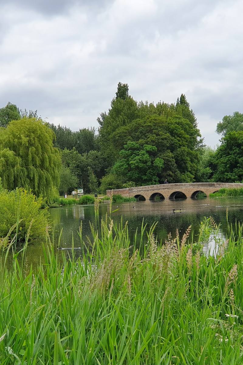
6.5A 97-hectare sweep of parkland and woodland where the River Cray passes beneath the Five Arches Bridge.
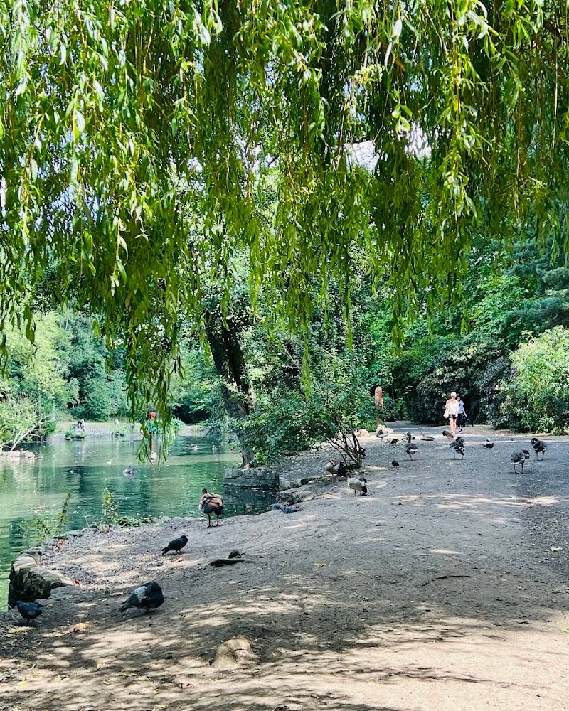
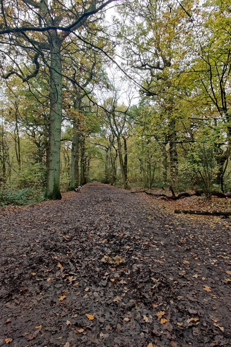
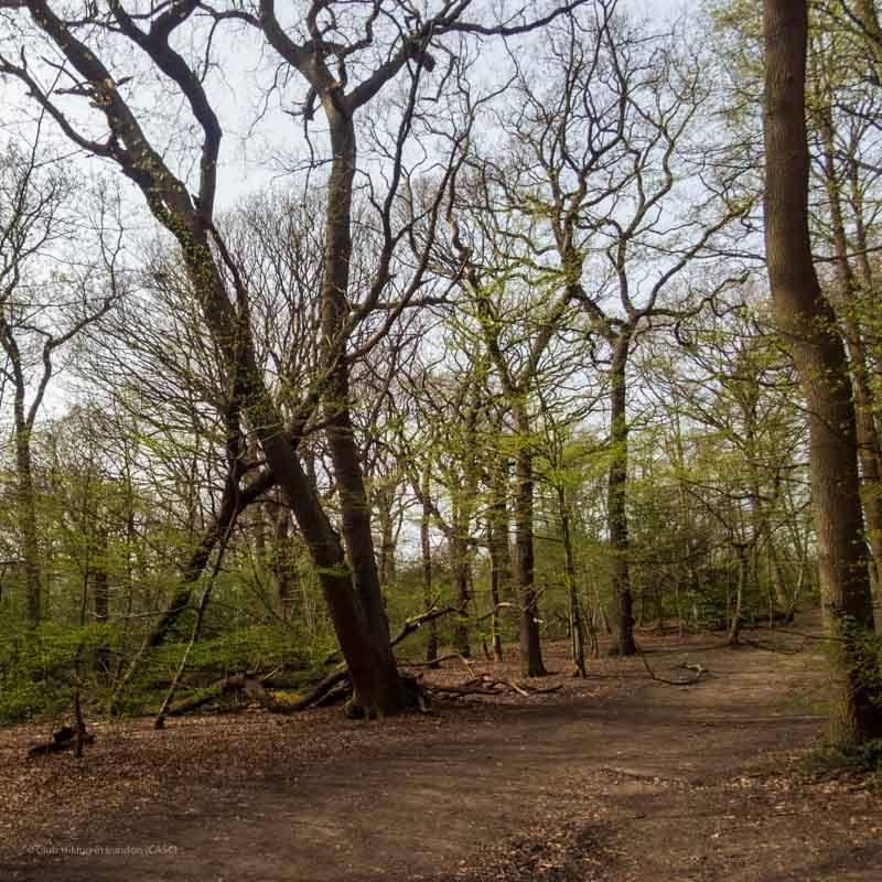
Foots Cray Meadows earns its place through its scale and variety: river, open lawns, woodland and wetlands sit alongside distinctive bridges, a lake and named heritage features. It offers a proper green escape within south-east London, with enough to explore beyond a simple riverside stroll.
Peaceful · Family-buzz
Find your way
Open mapBexley, south-east London
Opening map…
Know this place a little better?
The experience
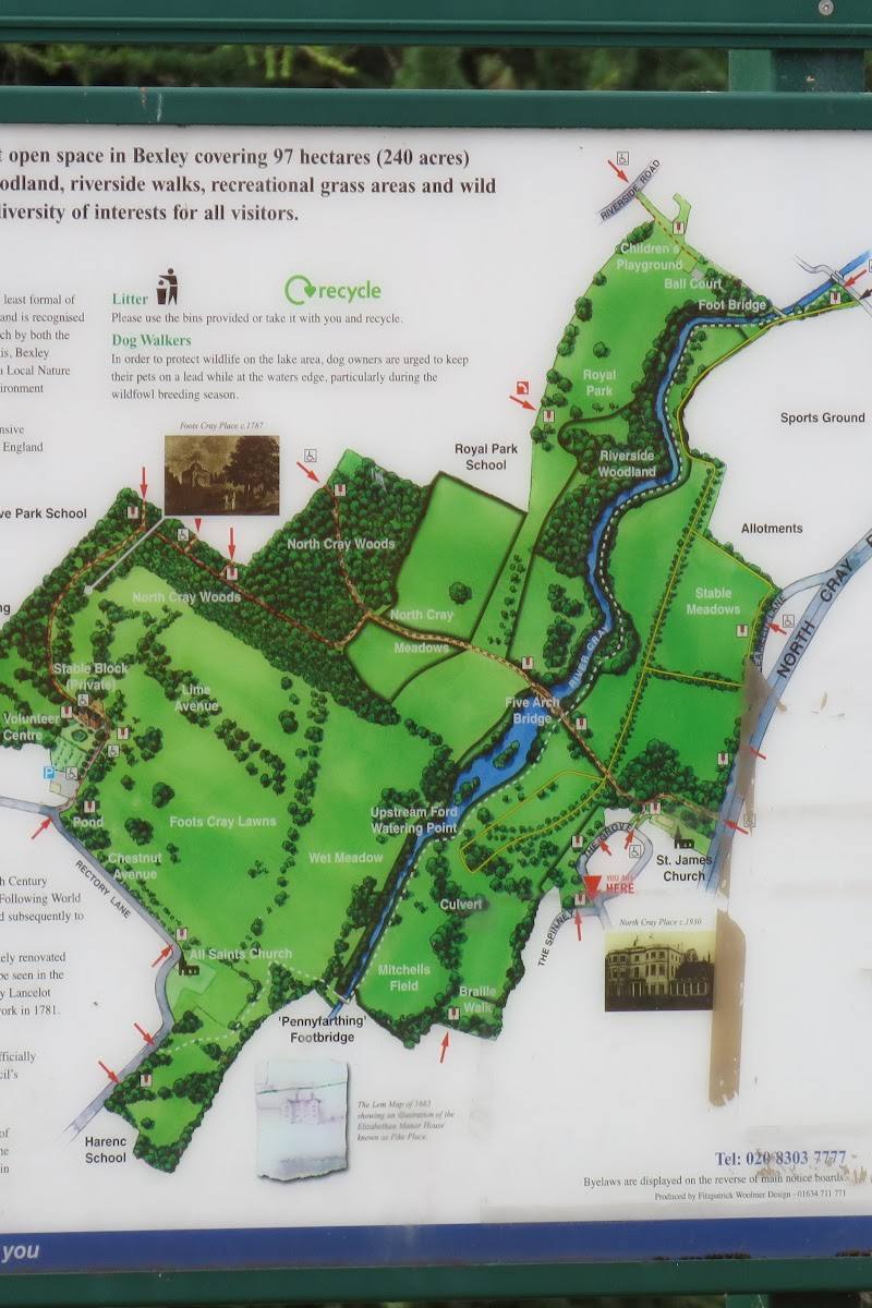
Start with the river and Five Arches Bridge, then follow paths into the meadows or woodland. The official visitor page identifies several distinct areas and QR-code locations, making it easy to shape a short visit around particular features.
Things to do
See Five Arches Bridge
Visit the five-arched bridge over the River Cray, one of the Meadows’ named historic features.
Explore the Foots Cray Lawns
Look for the ancient sweet chestnut, tulip tree and lime avenue identified on the official visitor guide.
Find Penny-Farthing Bridge and the pond
Visit the bridge and pond on the section of the Meadows identified by the official QR-code guide.
Walk through the meadow wetlands and ponds
Explore the wetland and pond area marked on the official visitor guide.
Use the on-site QR-code trail
Scan the site’s QR codes for information about the area you are exploring; the official page also provides a map of their locations.
Make a day of it
Quick escape · 1–2 hours
Quick Escape: river and Five Arches Bridge
- 01
Enter the Meadows and follow paths towards the River Cray.
- 02
Visit Five Arches Bridge and the nearby lake and birdlife area.
- 03
Return the way you came or continue exploring if time allows.
Half day · Half day
Make a half day of it: bridges, lawns and wetlands
- 01
Begin at the Foots Cray Place information-centre and stable-block area.
- 02
Explore Foots Cray Lawns and look for the ancient sweet chestnut, tulip tree and lime avenue.
- 03
Continue to Penny-Farthing Bridge and the pond, then explore the meadow wetlands and ponds.
- 04
Finish at Five Arches Bridge and the River Cray.
Verified history
The supplied sources identify Foots Cray Meadows as a 97-hectare area of parkland and woodland beside the River Cray. Named features include the Five Arches Bridge, Penny-Farthing Bridge and the Foots Cray Place information-centre and stable-block area. The available evidence here does not verify a fuller account of the estate’s history or the fate of Foots Cray Place.
Hidden details
The ancient sweet chestnut — An ancient sweet chestnut is identified among the features of Foots Cray Lawns on the official visitor guide.
QR-code points around the Meadows — The official page maps QR-code locations around features including the bridges, ponds, woods and riverside areas; scan them to learn more about where you are.
When to go
March · April · May · September · October · Morning
The official visitor page notes that plants and animals change through the seasons, but the supplied evidence does not confirm exact peak months or species timings. Check the seasonal nature guide for current sightings.
Check conditions before visiting. The supplied sources do not establish current path conditions or weather-specific access information.
The route
- ascent
- 144 m
- surface
- Rougher sections; conditions may be wet. The route also passes along roads.
- distance
- 10.8 km
- duration
- 2.5–3 hours
- difficulty
- Moderate
- route shape
- Circular
- parking start
- The official visitor page says the Meadows’ car park is accessible from Rectory Lane; the supplied route source does not confirm this as the route start.
- Foots Cray Meadows
- Five Arches Bridge over the River Cray
- Joydens Wood
What to look for
Look for the Five Arches Bridge over the River Cray, Penny-Farthing Bridge, the ancient sweet chestnut and tulip tree on Foots Cray Lawns, and the QR-code points that introduce different parts of the Meadows.
The story
Parkland heritage and historic bridges
Best time to go
Spring and autumn offer particular seasonal interest; the official site advises that plants and animals change through the year.
Choose a clear morning for a walk and wildlife watching. For seasonal nature, check the Meadows’ current seasonal guide before setting out.
How long to spend
1–2 hours
Perfect for
Walkers · Wildlife lovers · Photographers · Families
Practical information
Opening & access
The official visitor page gives directions to the Meadows and says its car park is accessible from Rectory Lane. Check current access arrangements before travelling.
Check before visiting
Parking
The Meadows’ car park is accessible from Rectory Lane, according to the official visitor page. Check current availability before travelling.
Check before visiting
Toilets
Check before visiting
Check before visiting
Food & drink
Check before visiting
Check before visiting
Dogs
Check current site guidance and signage before visiting.
Check before visiting
Accessibility
Check before visiting. The supplied sources do not establish step-free access or the condition of paths throughout the site.
Check before visiting
Cost
Check before visiting
Check before visiting
Water
River, lake, ponds and wetland
Gallery
Place photographs
Keep exploring
Around Foots Cray Meadows
Within 50 km · approximate straight-line distances