Elan Valley, near Rhayader, Powys, Wales
Elan Valley Waterfall Trail
route · Waterside walk
Place photograph
6.8
Wildland
1–2 hours
Time
Check
Cost
Peaceful
Feel
Why it's Wildland
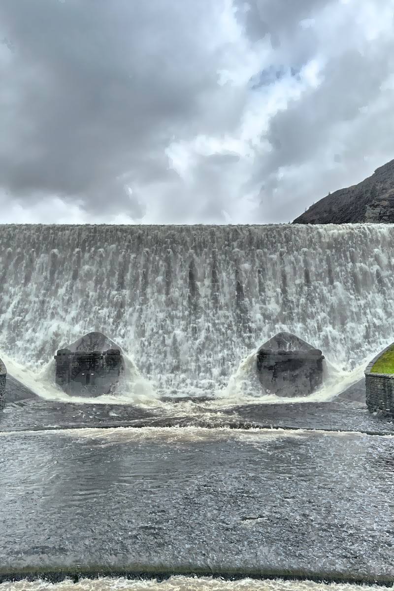
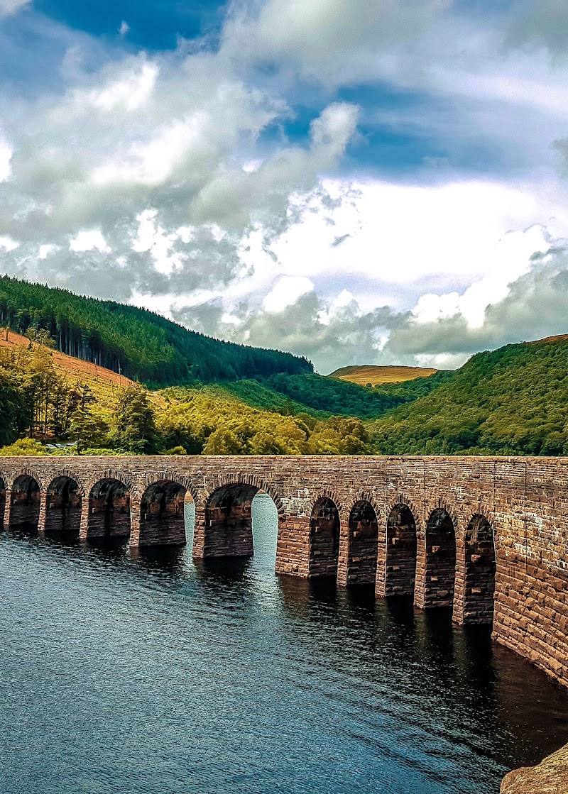
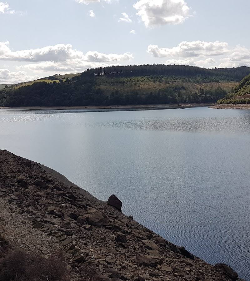
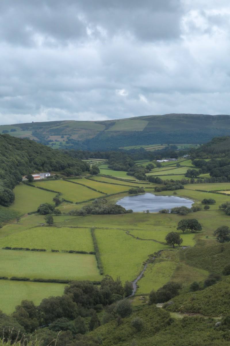
6.8A short walk through open upland ground ends at a waterfall beneath the imposing Claerwen Dam. The wider Elan Valley’s dams and reservoirs form part of a water-supply scheme built to carry water to Birmingham, giving this landscape a distinctly human story alongside its mountain scenery.
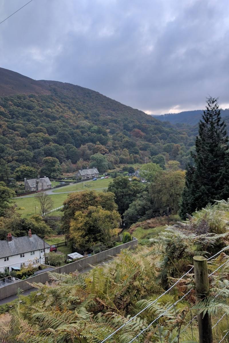
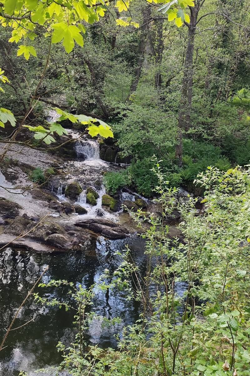
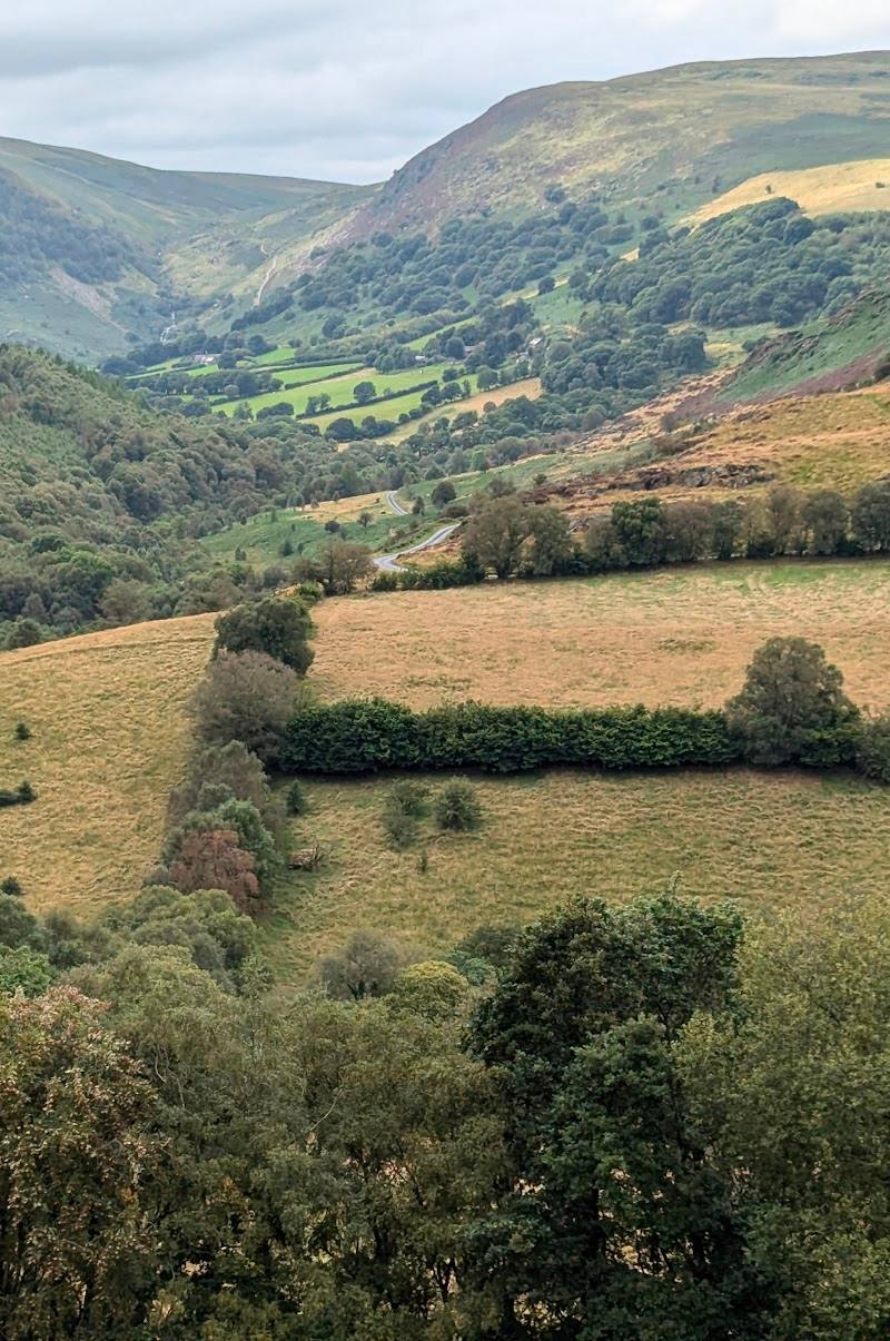
The appeal is the contrast: a modest, clearly described walk through open Cambrian uplands to a waterfall, with the vast Claerwen Dam as its backdrop. It offers a real landscape encounter without needing a long hike, though the terrain and changeable upland weather deserve respect.
Peaceful · Wild · Big-sky
Find your way
Open mapElan Valley, near Rhayader, Powys, Wales
Opening map…
Know this place a little better?
The experience
A 2 km out-and-back walk, described as taking about 40 minutes, follows purple arrows across fields and open grassland to the waterfalls. The route has moderate inclines. Allow extra time to take in the views and check current conditions before setting out.
Things to do
Follow the purple route to the waterfall
From the information board, cross the bridge and follow the purple arrows across fields and open grassland. The marked route reaches the waterfall and returns the same way.
About 40 minutes
Take in the Claerwen Dam views
The route is described as offering views of the largest dam in the Elan Valley. Pause to appreciate its scale and its position in the surrounding upland landscape.
Choose a longer walk elsewhere in the valley
The Elan Valley’s official walking page describes nine walks, ranging from a gentle multi-access woodland walk to longer routes. Check route details and conditions before choosing an extension.
Make a day of it
Quick escape · About 40 minutes walking; allow 1–2 hours for a relaxed visit.
Quick escape: Claerwen to the waterfall
- 01
Start at the route information board near Claerwen Dam.
- 02
Follow the purple arrows across the bridge and through the marked gates and fields.
- 03
Continue uphill to the waterfall, then return by the same marked route.
Half day · Half day
Make a half day of Elan Valley
- 01
Walk the marked Claerwen Dam to Waterfalls route.
- 02
Allow time to appreciate the waterfall and views of the dam.
- 03
If you want a longer outing, choose a separate Elan Valley walk such as the Garreg Ddu Loop; check its current route details before setting off.
Verified history
Elan Valley’s dams and reservoirs were built to supply Birmingham with water. The source material describes the original scheme as designed by civil engineer James Mansergh and constructed by Birmingham Corporation from the 1890s; the larger Claerwen Dam was completed in 1952. Water still travels by gravity along the Elan aqueduct to Frankley Reservoir.
Hidden details
Follow the marker sequence carefully — The route instructions describe purple arrows at the bridge, a bridleway post, gates and further marker posts. They are useful landmarks for following the walk across open ground.
When to go
May · June · July · August · September · A clear, settled part of the day is preferable for an exposed upland walk; check the forecast before setting off.
The source row recommends May to September for milder weather and notes that autumn brings changing colours. Rain can enhance waterfall flow but may make walking conditions more demanding.
Upland weather can deteriorate rapidly and terrain may be difficult. The estate advises walkers to come prepared with suitable footwear, waterproof clothing and navigation equipment; mobile reception is extremely limited and should not be relied upon.
The route
- stiles
- Not specified; route instructions mention gates
- surface
- Mostly fields or open grassland, with moderate inclines
- distance
- 1.2 miles / 2 km
- duration
- About 40 minutes
- difficulty
- Moderate
- waymarking
- Purple arrows and marker posts
- route shape
- Out and back; return by the same route
- start point
- Route information board near Claerwen Dam; the supplied route page gives OS grid reference SN870633.
- parking start
- Parking arrangements are not confirmed in the supplied route description. Check before visiting.
- Waterfall
- Views of the largest dam in the Elan Valley
- Open upland scenery
Worth pairing with
Elan Valley Visitor Centre
The source row reports visitor information, maps, a café and toilets at the visitor centre. The official walking page lists it as the start of the Cnwch Wood walk, a separate one-mile multi-access route. Check facilities and route details before visiting.
What to look for
- 01
Look for the purple route arrows at the bridge, gates and marker posts
- 02
the route’s waterfall and views of the largest dam in the Elan Valley are its stated highlights.
The story
Industry
Best time to go
Late spring to early autumn for milder walking conditions; after rainfall the waterfall may be more compelling, but check conditions before travelling.
Late spring to early autumn is a practical choice for a walk over open ground. Waterfall flow can vary; recent rain may make the cascade more impressive, while wet weather can also make the route more challenging.
How long to spend
1–2 hours
Perfect for
Walkers · Photographers · Families
Route at a glance
Duration
1–2 hours
Terrain
Hills, Valley
Parking / start
The route starts near Claerwen Dam; the supplied route page identifies the start area but does not confirm parking arrangements. Check before visiting.
Practical information
Opening & access
A signed 2 km route from the Claerwen Dam area leads across fields and open grassland to the waterfalls and back. Follow the purple route markers and check current route conditions before setting out. The wider Elan Valley has more walking routes; stay on designated routes and keep dogs on leads or under strict control around livestock.
Check before visiting
Parking
The route starts near Claerwen Dam; the supplied route page identifies the start area but does not confirm parking arrangements. Check before visiting.
Check before visiting
Toilets
Check before visiting. The source row reports toilets at the visitor centre, but does not confirm facilities at this route’s start.
Check before visiting
Food & drink
The source row reports a café at the Elan Valley Visitor Centre. Check current availability and opening details before visiting.
Check before visiting
Dogs
Keep dogs on leads or under strict control because livestock roam in the area.
Accessibility
The waterfall route is described as moderate, with inclines and a field/open-grassland surface. Do not assume it is wheelchair accessible. The wider estate has other walks, including a separately described multi-access route; check route-specific details before travelling.
Check before visiting
Cost
Check before visiting
Check before visiting
Water
Waterfall
Gallery
Place photographsKeep exploring
Around Elan Valley Waterfall Trail
Within 50 km · approximate straight-line distances