Off Flamborough Road, near Bridlington, East Riding of Yorkshire, YO15 1AA
Danes Dyke Nature Reserve
Mixed-habitat reserve
Place photograph
7.2
Wildland
1–2 hours
Time
Check
Cost
Dramatic
Feel
Why it's Wildland
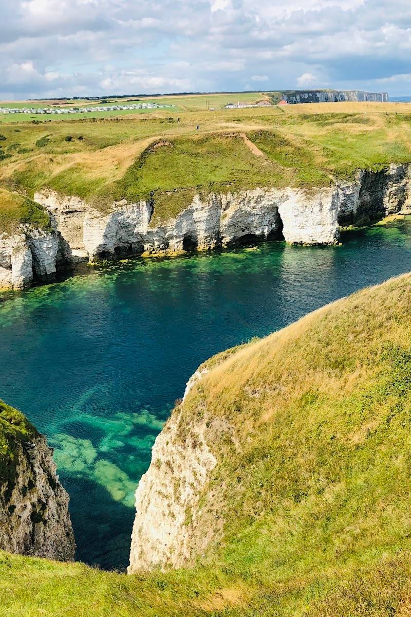
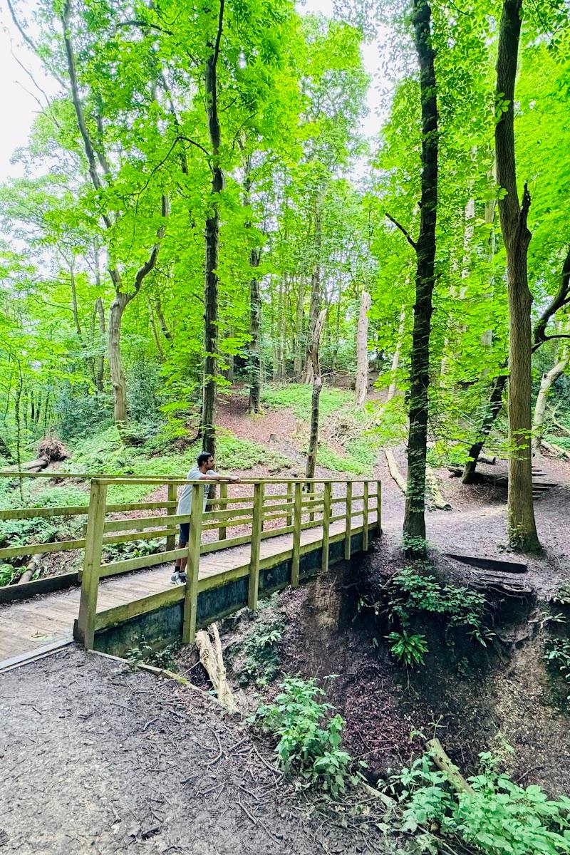
7.2A wooded ravine cuts through Flamborough Headland, where a prehistoric defensive bank and ditch crosses the headland towards Cat Nab. From woodland paths, the landscape opens to chalk cliffs, beach and views across the bay to Bridlington.
Danes Dyke brings together a substantial wooded ravine, a headland-spanning prehistoric earthwork and a beach beneath the Flamborough coast. The combination makes it more than a woodland stroll, but steep steps, rough natural terrain and cliff-edge hazards call for care.
Dramatic · Wild · Atmospheric
Find your way
Open mapOff Flamborough Road, near Bridlington, East Riding of Yorkshire, YO15 1AA
Opening map…
Know this place a little better?
The experience
Choose a short woodland-and-earthwork visit, or make more of it by continuing towards the beach and coastal viewpoints. Routes include steep steps and natural terrain; check tide and cliff conditions before exploring the shore.
Things to do
Follow the tree trail
Explore the reserve’s woodland on the tree trail. The leaflet describes surfaced paths on this trail, while warning that routes crossing the ravine have steep steps.
Trace the Danes Dyke earthwork
Notice the bank and west-facing ditch that gives the reserve its name. The earthwork continues across Flamborough Headland; its precise construction date is not established in the supplied official excerpt.
Walk to the beach for the bay view
Reach the beach by the steep road from the car park or steps from the tree trail. The official leaflet warns there is no vehicle access to the beach and to take care with steep ground, cliff edges and quickly rising tides.
Watch for wildlife
Wildlife watching is listed among the reserve activities. Specific species to look for are not established by the supplied sources.
Make a day of it
Quick escape · About 1–2 hours; estimate, not an official route duration
Quick escape: woodland and the Dyke
- 01
Start at the reserve car park and follow the tree trail through the woodland.
- 02
Look for the ancient bank-and-ditch earthwork as the path crosses the reserve.
- 03
Return by a suitable path to the car park; check signage and conditions, as ravine routes include steep steps.
Half day · Half day; suggested estimate
Make a half day of it: ravine to beach
- 01
Begin with the woodland tree trail and the earthwork.
- 02
Continue towards the beach using a signed route if conditions and your mobility allow; access is steep, with no vehicular access to the beach.
- 03
Take time for the beach and bay views, then return to the car park, watching tide conditions and keeping clear of cliff edges.
Verified history
Danes Dyke takes its name from a bank-and-ditch earthwork that crosses Flamborough Headland for about 4 km, from the reserve towards Cat Nab at Bempton Cliffs. The East Riding page describes a flat-topped bank and west-facing ditch, with earth, turf and chalk rubble used in its construction. The Yorkshire Wildlife Trust leaflet identifies it as prehistoric and a Scheduled Ancient Monument of national importance, and reports Bronze Age arrowheads found during excavations. The available sources do not establish a precise construction date; the name should not be taken as proof of Danish construction.
Folklore & legend
The supplied sources do not provide a verified local legend. The reserve’s name alone is not evidence that the earthwork was built by Danes.
Hidden details
A headland-spanning barrier — The earthwork is not confined to the reserve: the East Riding source says it runs about 4 km across Flamborough Headland towards Cat Nab.
The old car-park site — The Yorkshire Wildlife Trust leaflet notes that the reserve car park occupies the former site of a granary.
When to go
· No particular time of day is established by the supplied sources.
The supplied sources do not establish a seasonal wildlife or landscape peak. Check conditions locally before travelling.
Take care on steep ravine paths and near cliff edges; tides can rise quickly. Check local weather, tide information and path conditions before visiting.
The route
- surface
- Surfaced paths on the tree trail; other path surfaces not established
- difficulty
- Uneven natural terrain; steep steps cross the ravine
- waymarking
- Tree trail referenced; detailed waymarking information not supplied
- start point
- Danes Dyke reserve car park
- parking start
- Pay-and-display car park; reserve leaflet postcode YO15 1DU. Check current charges and access.
- shorter alternative
- Stay on a suitable section of the woodland tree trail and turn back before steep ravine steps; confirm current path options on site.
- Wooded ravine
- Danes Dyke bank-and-ditch earthwork
- Beach and views across the bay to Bridlington
Worth pairing with
Flamborough Head
A coastal headland destination named in the reserve sources; a worthwhile extension only if you have time and have checked access and conditions.
Bempton Cliffs
The earthwork is described as continuing towards Cat Nab at Bempton Cliffs. The supplied sources do not establish a particular route or travel time between the sites.
What to look for
Follow the line of the bank and west-facing ditch through the reserve. Look for the contrast between the wooded ravine, chalk coast and shingle beach, and notice where the paths cross steep ground.
The story
Prehistoric earthwork; coastal heritage
Best time to go
Check current conditions before visiting; no specific seasonal peak is established by the supplied sources.
No specific best time is verified. Check weather, tide conditions and current path information before visiting; use extra care near the cliffs and ravine.
How long to spend
1–2 hours; allow longer to explore the beach and paths
Perfect for
Walkers · Wildlife lovers · Photographers · History lovers
Before you go
Address
Phone
Website
Listed hours
- Monday: Open 24 hours
- Tuesday: Open 24 hours
- Wednesday: Open 24 hours
- Thursday: Open 24 hours
- Friday: Open 24 hours
- Saturday: Open 24 hours
- Sunday: Open 24 hours
Check before visiting.
Google rating
Practical information
Opening & access
A Local Nature Reserve on Flamborough Headland, with a wooded ravine, coastal paths, beach access and an ancient earthwork. The tree trail uses surfaced paths, but routes across the ravine include steep flights of steps; beach access is steep. Check current conditions before setting out.
Check before visiting
Parking
Pay-and-display car park; the official reserve leaflet gives postcode YO15 1DU. Check charges and current access before travelling.
Check before visiting
Toilets
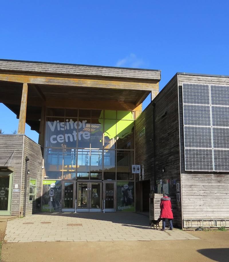
Public toilets are reported at the car park; check before visiting.
Check before visiting
Food & drink
A café and picnic tables are reported at the car park; check current availability before visiting.
Check before visiting
Dogs
Keep dogs under close control, avoid disturbing wildlife and other visitors, and clean up after them.
Accessibility
The source row reports a wheelchair-accessible car park and toilet. The reserve leaflet describes surfaced paths on the tree trail, but steep steps cross the ravine and beach access is steep; this does not establish an accessible route throughout the reserve.
Cost
Free admission; pay-and-display parking is reported. Check current charges before visiting.
Check before visiting
Water
Sea; beach below the reserve. Swimming permission and safety conditions are not established by the supplied sources.
Gallery
Place photographs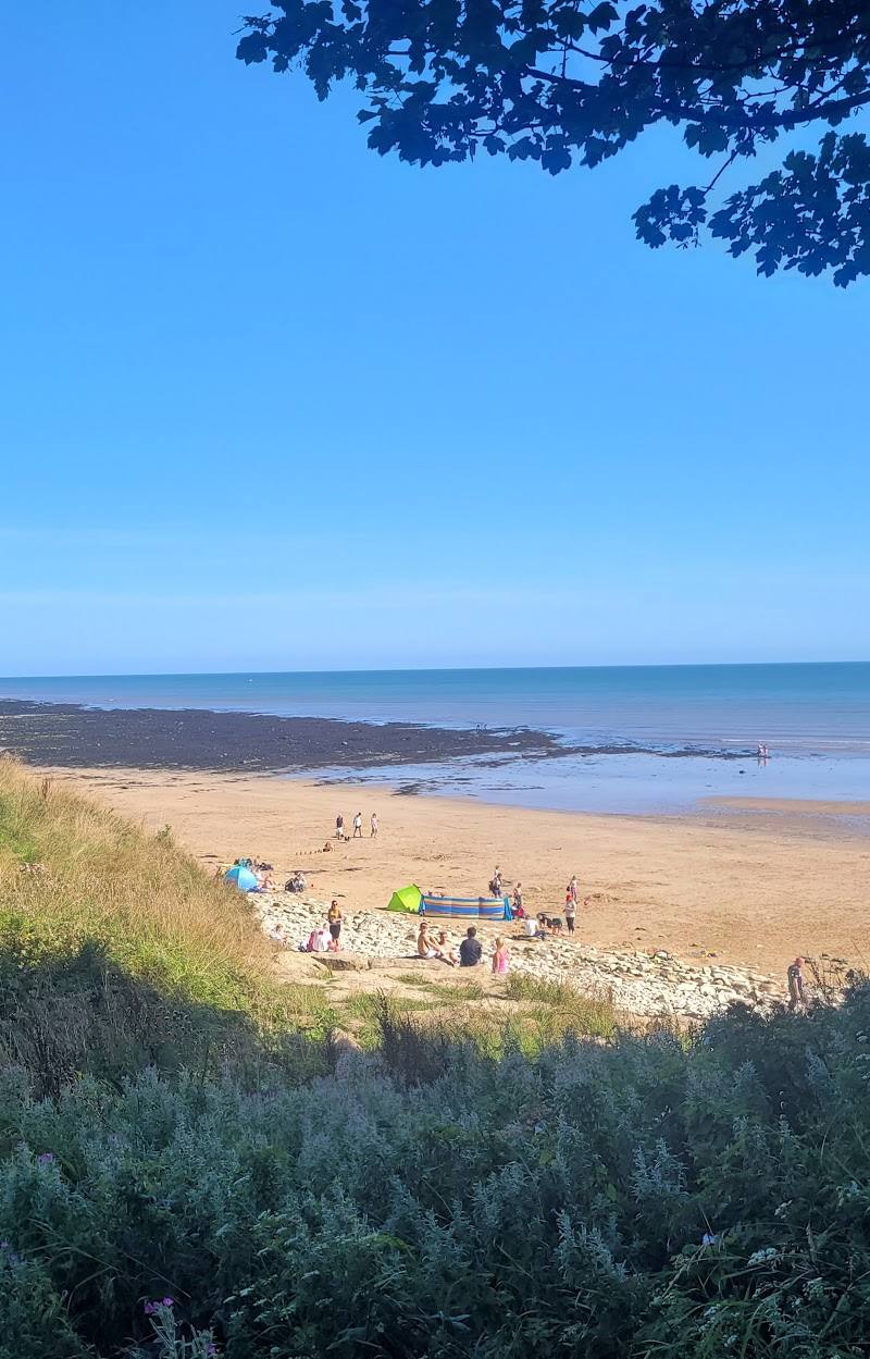

Keep exploring
Around Danes Dyke Nature Reserve
Within 50 km · approximate straight-line distances