Isle of Harris, Outer Hebrides, Scotland, HS3 3AL
Clisham (An Cliseam)
Viewpoint
Place photograph
7.3
Wildland
Half day
Time
Check
Cost
Dramatic
Feel
Why it's Wildland
7.3Harris’s highest summit rises to 799 m, with a boggy moorland approach that gives way to rockier ground and far-reaching island and sea views.
Clisham earns its place for the contrast between a rough, boggy approach and a high, exposed summit with wide views across Harris, Lewis and the surrounding sea. It is a substantial hillwalk, not a roadside viewpoint.
Dramatic · Wild · Big-sky
Find your way
Open mapIsle of Harris, Outer Hebrides, Scotland, HS3 3AL
Opening map…
Know this place a little better?
The experience
Climb to the 799 m summit on a challenging out-and-back hillwalk. The described direct route is around 5 km return, with approximately 629 m of ascent and a typical walking time of about three hours. Boggy ground, poor visibility and wind can make progress slower.
Things to do
Climb to the summit trig point
Ascend from the A859 approach over open, boggy moorland and then steeper, rockier ground to Clisham’s summit at 799 m.
About 3 hours return, according to one route account
Watch the landscape open up on the climb
Pause on the ascent to look back across Harris and towards the surrounding islands and sea. Views depend on visibility and weather.
Look across from the summit
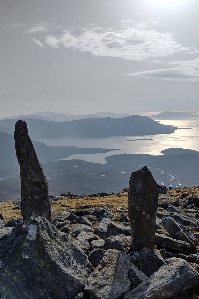
On a clear day, take in the summit panorama over Harris and Lewis, with the surrounding islands and sea in view.
Make a day of it
Quick escape · About 3 hours return
Quick Escape: climb to Clisham’s summit
- 01
Start from the parking area on the A859 described in the route source, before the Maraig turn-off when heading north.
- 02
Cross the boggy lower moorland, following the burn and the best available ground towards the hill.
- 03
Continue uphill as the terrain steepens and becomes rockier, taking care with route-finding.
- 04
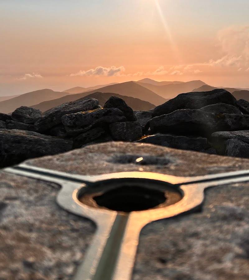
Reach the summit trig point and take in the views when visibility allows.
- 05
Return by the same route.
Half day · Allow at least half a day, including time for changing conditions
Make a half day of the climb
- 01
Set aside time for the described roughly 5 km return ascent, rather than treating Clisham as a brief viewpoint stop.
- 02
Pause where the ground becomes rockier to look back over Harris as the views open.
- 03
Spend time at the summit trig point taking in the surrounding islands and sea if conditions are clear.
- 04
Return carefully by the ascent route, allowing extra time for boggy or wet ground.
Hidden details
A sheltered summit trig point — A video account notes that the summit trig point is enclosed by a shelter, a useful detail on an exposed and windy summit.
The lower approach can be the wettest part — The ascent account describes boggy ground near the start, with firmer, rockier terrain higher up. Recent rain can make the lower section particularly wet.
When to go
November · Choose a settled-weather window with enough daylight for a slow, careful ascent and descent.
One account describes a crisp November climb with vivid late-autumn colours and rainbows. The source also reports boggy ground and strong winds, so seasonal appeal should not outweigh the need to check conditions.
The summit is exposed and can be very windy; cloud, showers and recent rain affect visibility and ground conditions. The lower approach may be boggy, and route-finding can be difficult. Check the mountain forecast and carry suitable hillwalking equipment.
The route
- ascent
- Approximately 629 m in one route account
- surface
- Boggy open moorland lower down, becoming rougher and rockier higher up; an eroded, indistinct path is described.
- distance
- About 5 km return for the described direct ascent
- duration
- About 3 hours return in one route account
- difficulty
- Challenging; steep, exposed and potentially boggy, with route-finding required
- waymarking
- No signposting is reported for the described ascent.
- route shape
- Out and back, returning by the ascent route
- start point
- A parking area on the A859, before the Maraig turn-off when heading north, as described by one source.
- parking start
- The route account describes a large parking area on the A859. Check current arrangements before travelling.
- The 799 m summit, described as the highest point in the Outer Hebrides
- Summit trig point and shelter
- Views over Harris, Lewis, surrounding islands and sea when visibility allows
- A transition from boggy moorland to rockier upper slopes
What to look for
- 01
As the route climbs above the boggy lower ground, look for the change to rougher, rockier terrain. From the summit, look across the Harris hills, Lewis and the surrounding islands and sea
- 02
the summit has a trig point and shelter.
Best time to go
Late autumn and winter can bring striking colours and clear views, but weather is changeable year-round. Choose a settled forecast and check conditions before going.
A clear, settled day offers the best chance of summit views. One account describes a crisp November outing with rainbows and vivid autumn colours; mountain weather can change quickly, so check the forecast and be prepared to turn back.
How long to spend
Half day
Perfect for
Walkers · Photographers
Before you go
Address
Google rating
Practical information
Opening & access
A steep hillwalk to the 799 m summit. One described direct ascent starts from a parking area on the A859, before the Maraig turn-off when travelling north. The lower ground can be boggy, the route is not signposted and conditions can be exposed and windy. Check current access and conditions before setting out. Access arrangements are unconfirmed. Check before visiting; do not enter private land or restricted structures.
Check before visiting
Parking
A source describes a large parking area on the A859, before the Maraig turn-off when heading north. Check current parking arrangements before visiting.
Check before visiting
Toilets
Check before visiting
Check before visiting
Food & drink
Check before visiting
Check before visiting
Dogs
Check before visiting
Check before visiting
Accessibility
A demanding mountain walk with steep ground, boggy sections, rough terrain and exposure to strong winds. Not suitable for visitors seeking an easy or step-free route.
Cost
Check before visiting
Check before visiting
Gallery
Place photographsKeep exploring
Around Clisham (An Cliseam)
Within 50 km · approximate straight-line distances
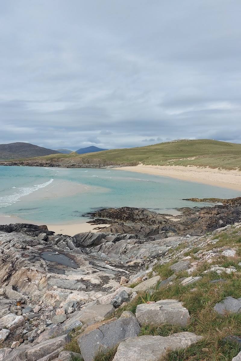 Place photograph5.2
Nisabost Beach (Traigh Iar)
Nisabost, Isle of Harris, Outer Hebrides HS3 3AE
15.5 km away
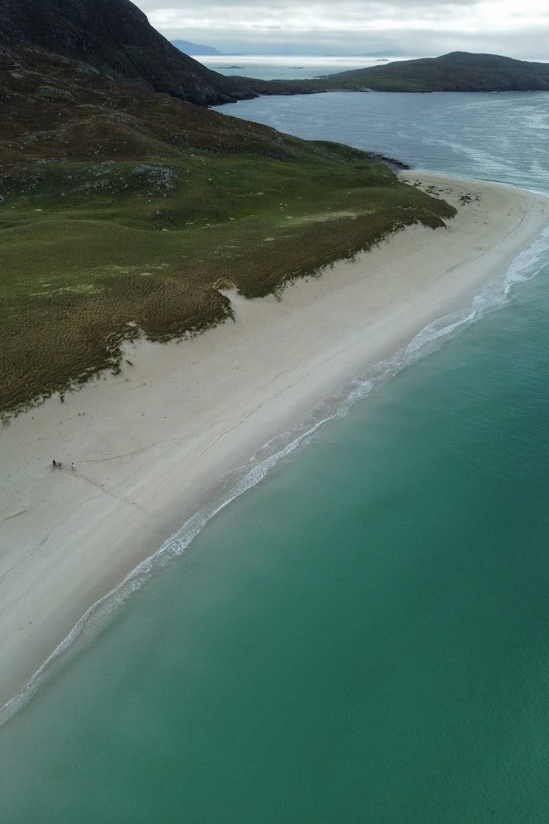 Place photograph6.6
Tràigh Mheilein
North Harris, Isle of Harris, Outer Hebrides, Scotland
17.1 km away