Glennasheevar Road, Derrygonnelly, Enniskillen, County Fermanagh BT93 6AT
Cliffs of Magho Viewpoint
Viewpoint
Place photograph
7.4
Wildland
1–2 hours
Time
Check
Cost
Dramatic
Feel
Why it's Wildland
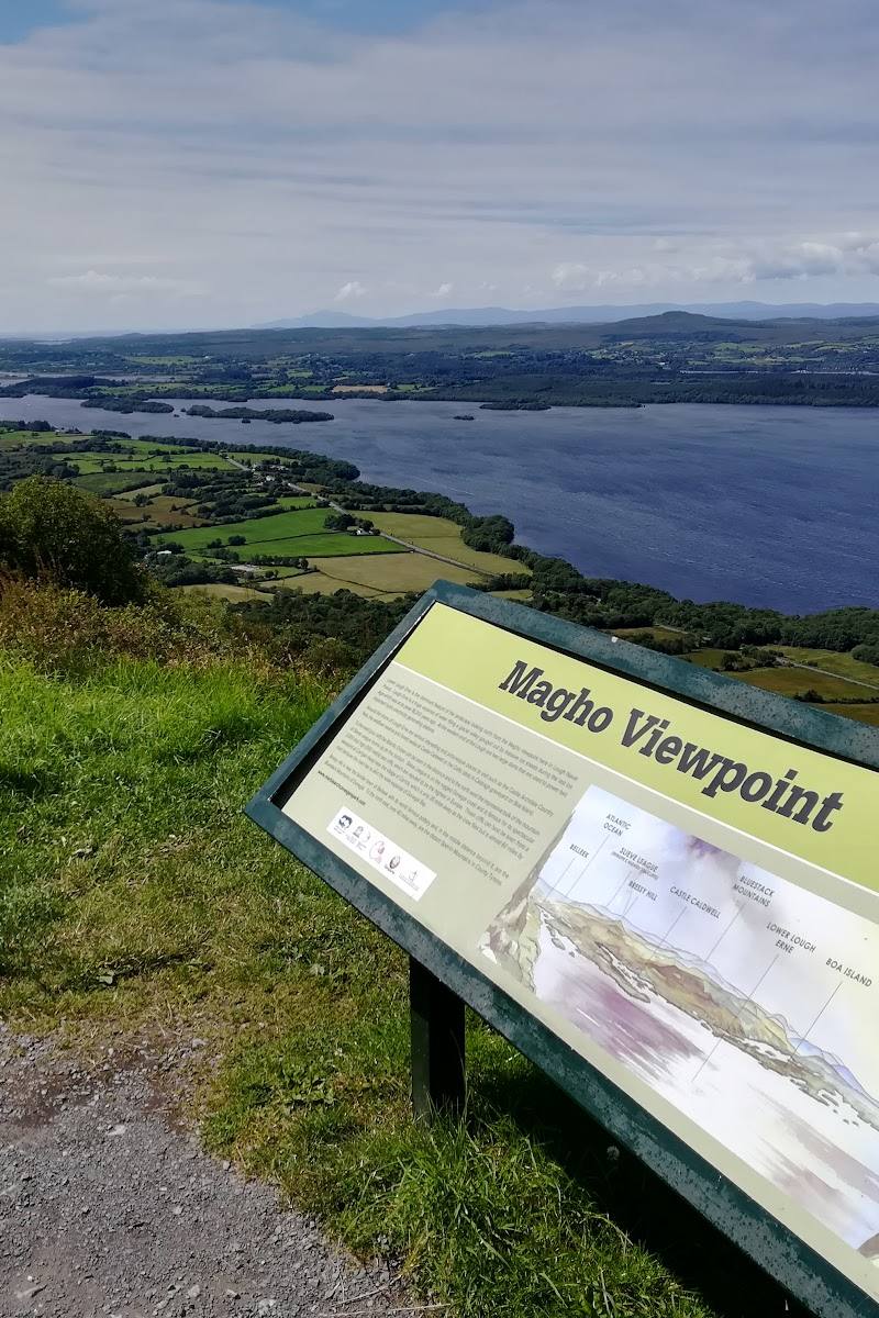
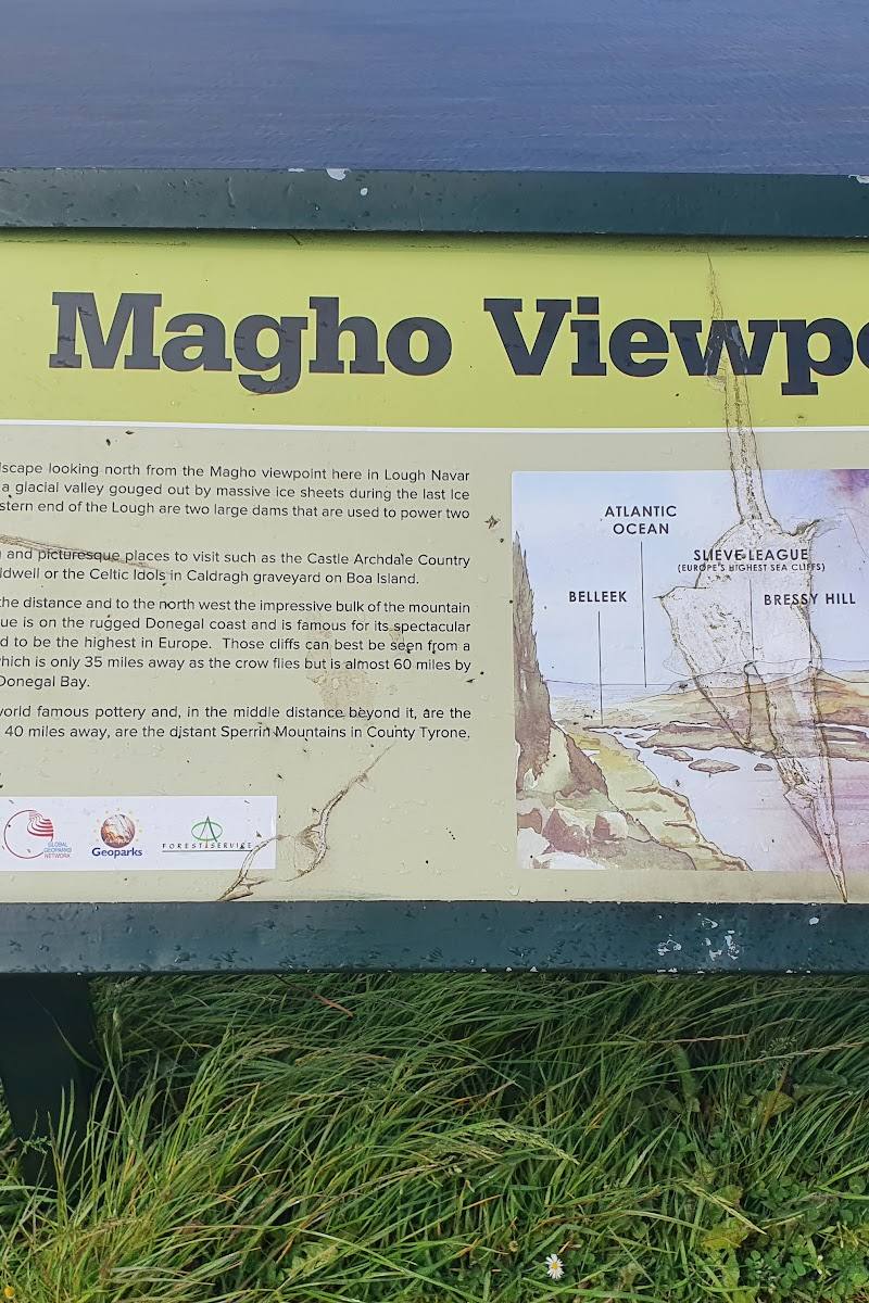
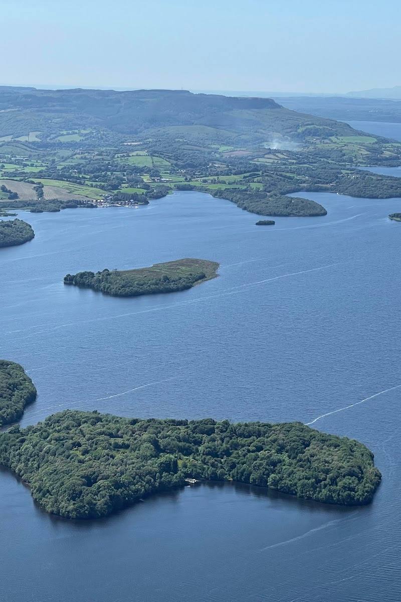
7.4From the edge of the Magho escarpment, the forested uplands open onto a wide panorama of Lower Lough Erne and its scattered islands.
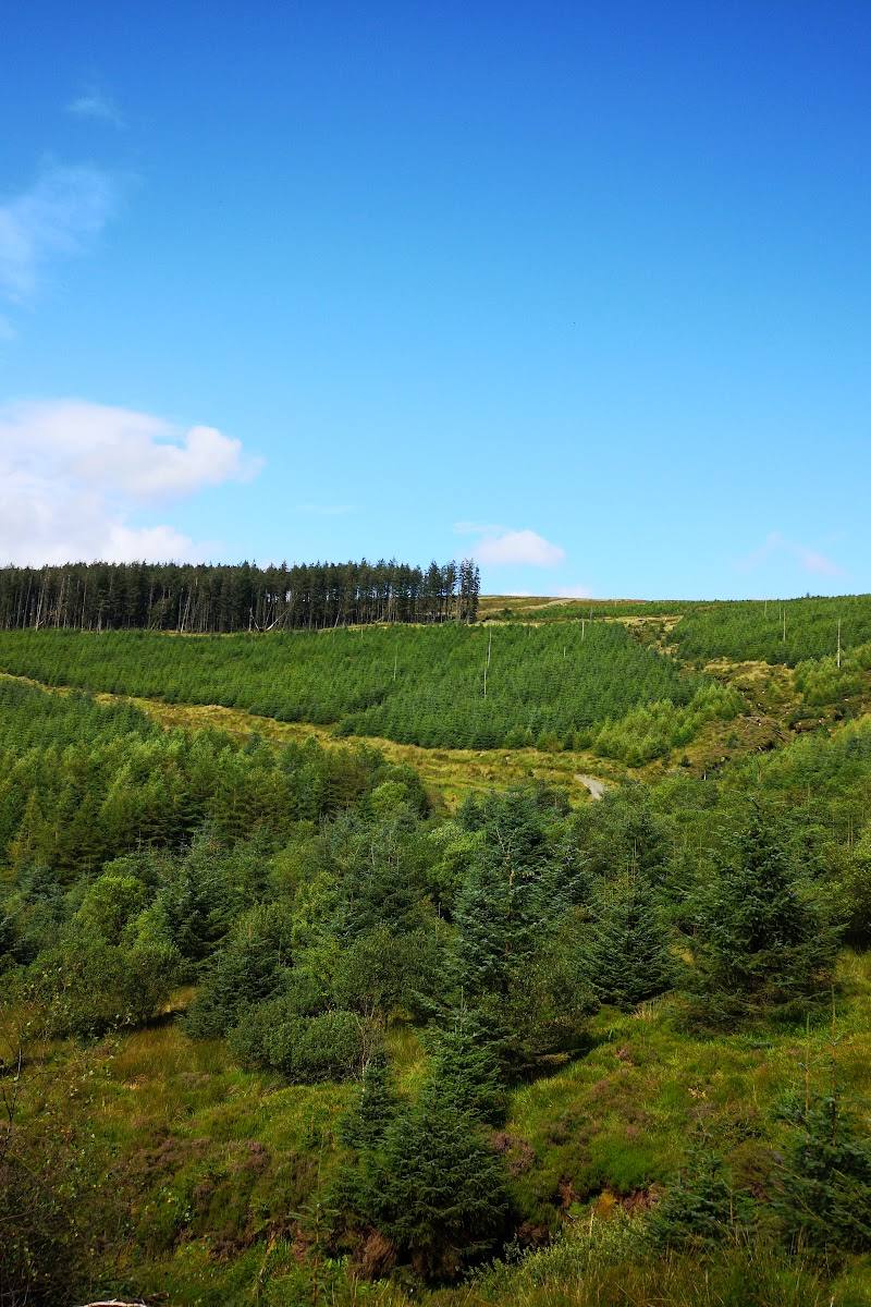
This is more than a roadside photo stop: the Magho escarpment gives a striking sense of height above Lough Erne, while a nearby forest trail offers a way to earn the view on foot. The panorama is the clear reason to make the journey.
Dramatic · Big-sky · Wild
Find your way
Open mapGlennasheevar Road, Derrygonnelly, Enniskillen, County Fermanagh BT93 6AT
Opening map…
Know this place a little better?
The experience
Take in the panorama from the viewpoint, or make it a longer outing with the sourced out-and-back forest trail. The trail is listed as moderate and includes a substantial climb; wear suitable footwear and check conditions.
Things to do
Take in the Lower Lough Erne panorama
Use the viewpoint to look across the lake and its scattered islands; the supplied attraction source describes panoramic views over Lower Lough Erne.
Check before visiting
Walk the out-and-back forest trail
AllTrails lists a 1.4-mile route with 748 feet of elevation gain, estimated at 1–1.5 hours and rated moderate. Its review summary mentions steep steps and a slippery descent.
1–1.5 hours
Make a day of it
Quick escape · Allow 30–60 minutes; estimate, as no viewpoint visit duration is supplied.
Quick Escape: the escarpment panorama
- 01
Reach the viewpoint via Glennasheevar Road.
- 02
Pause to take in the panorama over Lower Lough Erne and its islands.
- 03
Check current parking and access arrangements before travelling.
Half day · 1–1.5 hours for the listed trail; allow additional time for the viewpoint and breaks.
Make a half day of it: walk to the Magho viewpoint
- 01
Start the out-and-back route through Navar Forest.
- 02
Follow the trail to the Cliffs of Magho viewpoint.
- 03
Spend time looking across Lower Lough Erne before retracing the route.
- 04
Wear suitable footwear: the supplied trail source describes steep steps and a slippery descent.
Hidden details
Notice the islands in the lough — The viewpoint’s panorama takes in Lower Lough Erne, whose islands are a defining detail of the view.
When to go
· Choose a time with clear visibility; no specific time-of-day guidance is established by the supplied sources.
The supplied evidence does not identify a seasonal wildlife or landscape highlight.
Visibility affects the distant views. The trail source reports steep steps and a slippery descent, so check conditions and wear suitable footwear.
The route
- ascent
- 748 ft
- stiles
- Check before visiting
- surface
- Check before visiting
- distance
- 1.4 miles
- duration
- 1–1.5 hours
- difficulty
- Moderate
- waymarking
- Check before visiting
- route shape
- Out and back
- start point
- Check before visiting
- parking start
- The viewpoint source row reports a wheelchair-accessible car park; whether it is the trail start is not confirmed.
- Cliffs of Magho viewpoint
- Views over Lower Lough Erne
What to look for
Look across Lower Lough Erne for its scattered islands and the contrast between the lake and the surrounding forested uplands. On the walk, notice how the view opens as the route reaches the escarpment.
Best time to go
Check conditions before visiting; the supplied sources do not identify a reliably best season.
No specific season or time of day is established by the supplied sources. Clear visibility will matter for the distant panorama.
How long to spend
1–2 hours
Perfect for
Photographers · Walkers
Before you go
Address
Website
Listed hours
- Monday: Open 24 hours
- Tuesday: Open 24 hours
- Wednesday: Open 24 hours
- Thursday: Open 24 hours
- Friday: Open 24 hours
- Saturday: Open 24 hours
- Sunday: Open 24 hours
Check before visiting.
Google rating
Practical information
Opening & access
Roadside viewpoint in the Lough Navar Forest area. Google source data reports a wheelchair-accessible car park and entrance; check current access and conditions before travelling.
Check before visiting
Parking
A car park is reported at the viewpoint; confirm current availability and access before travelling.
Toilets
Check before visiting
Check before visiting
Food & drink
Check before visiting
Check before visiting
Dogs
Check before visiting
Check before visiting
Accessibility
Google source data reports a wheelchair-accessible car park and entrance. Trail accessibility, gradients and surfaces are not established by the supplied evidence; check before setting out.
Check before visiting
Cost
Check before visiting
Check before visiting
Water
Lough
Gallery
Place photographs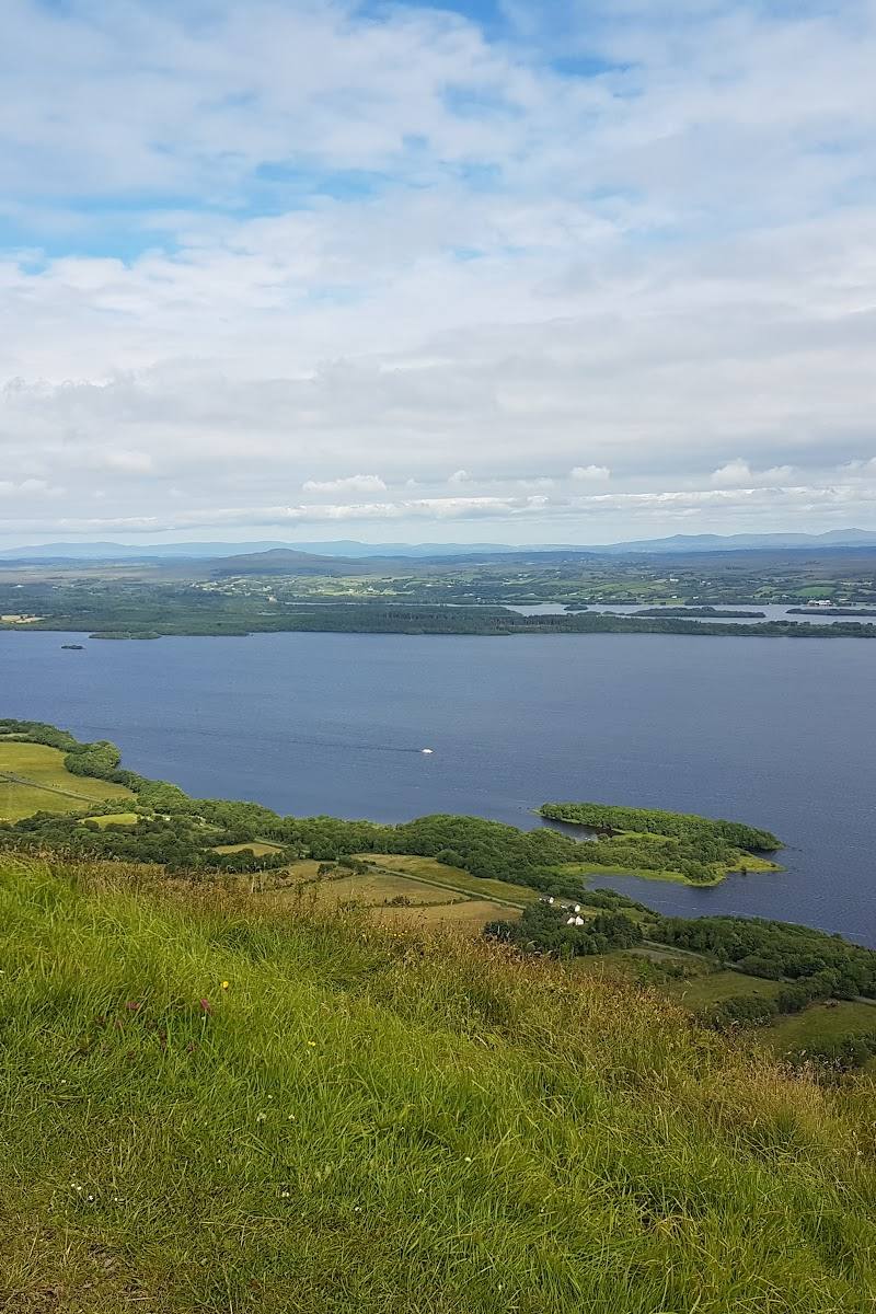
Keep exploring
Around Cliffs of Magho Viewpoint
Within 50 km · approximate straight-line distances
 Place photograph6.0
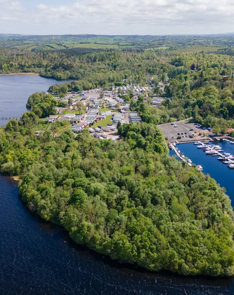
Castle Archdale Holiday Park
Rossmore, County Fermanagh, Northern Ireland
11.4 km away
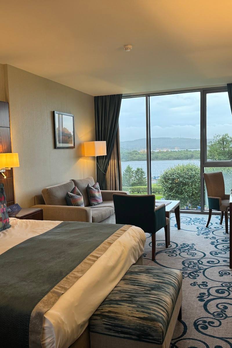 Place photograph8.5
Manor House Country Hotel
Killadeas, Enniskillen, County Fermanagh, BT94 1NY
15.2 km away