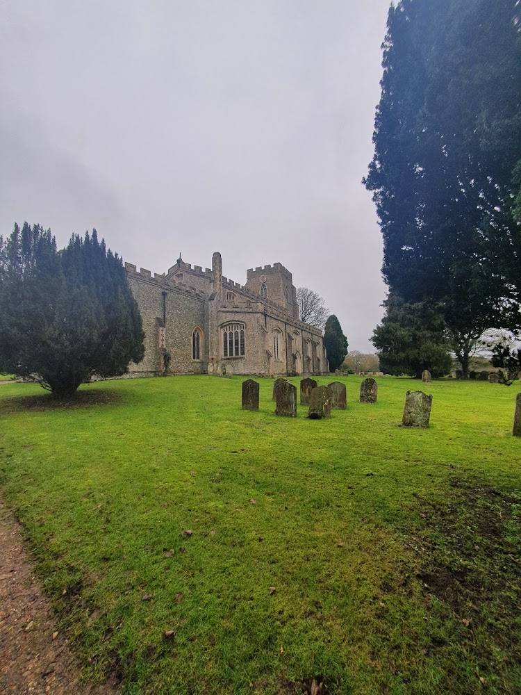
Middle Street, Clavering, Saffron Walden, Essex CB11 4QL
Clavering Castle
Castle
Source image
5.3
Wildland
Under 1 hour
Time
Check
Cost
Atmospheric
Feel
Why it's Wildland
5.3A deep moat, sprawling earthworks and a churchyard view hint at a castle whose story may reach back before the Norman Conquest. Its grassy remains are easier to see as a landscape of banks, ditches and waterworks than as a standing castle.
Clavering’s distinction is not a dramatic standing ruin but the scale and complexity of its earthworks: a large moated enclosure, a river valley reshaped for water management, and a site that may preserve evidence of one of England’s rare pre-Conquest castles. The central platform is private, so the visit is about careful looking from permitted viewpoints rather than exploring the ruins.
Atmospheric · Ancient-feeling
Find your way
Open mapMiddle Street, Clavering, Saffron Walden, Essex CB11 4QL
Opening map…
Know this place a little better?
The experience
Treat this as a short, viewpoint-led heritage stop. The castle platform is private, but parts of the earthworks can be glimpsed from the churchyard and a public footpath. For a longer outing, an AllTrails route links the castle with village lanes and countryside, though it includes road walking.
Things to do
Read the earthworks from a permitted viewpoint
Look for the enclosure, moat and banks that mark the castle site. The central platform is private, but parts can be glimpsed from the churchyard and a public footpath.
15–30 minutes
Follow the Clavering Castle circular walk
An AllTrails route is listed as a 2.6-mile loop, taking an estimated 0.5–1 hour, with 118 feet of elevation gain. Its description notes village road walking and countryside views; check the route and current conditions before setting out.
0.5–1 hour
Look for the ‘humps and bumps’
The local history account describes dramatic earthworks to the west of the castle site, leading towards the river. View them only from public access.
Make a day of it
Quick escape · Under 1 hour
A short look at the castle earthworks
- 01
Use a permitted viewpoint, such as the churchyard or public footpath, to look towards the castle earthworks.
- 02
Notice the moat and banks, and how the site sits beside the church and River Stort valley.
- 03
Do not enter the central platform, which is described as private land.
Half day · About 1 hour; 2.6 miles
Clavering Castle countryside circuit
- 01
Follow the AllTrails circular route listed as starting and ending at the Cricketers in Clavering.
- 02
Pass through the village and countryside towards the castle remains.
- 03
View the site only from permitted paths and viewpoints; expect some road walking and potentially muddy sections.
Verified history
Clavering Castle is a large moated site of Saxon or medieval origin. A local historical account describes a rectangular enclosure, roughly 150 by 100 metres, surrounded by a ditch about 26 metres wide and 5 metres deep, with associated earthworks and a possible watermill site. The castle platform is private; parts of the site can be glimpsed from the churchyard and a public footpath. The article discusses a possible pre-Norman ringwork and an association with Robert FitzWimarc, but presents the site’s early interpretation as uncertain. It also records a Late Bronze Age hoard found near The Bury around 1870; its exact findspot is unknown.
Folklore & legend
The Castle Studies Trust account refers to a tradition known as the ‘Miracle of the Ring’, associated with Edward the Confessor and a chapel of St John the Evangelist. This is presented as a legend, not established historical fact.
Hidden details
A landscape shaped by water — The local historical account interprets the western earthworks and river valley as part of an extensive water-management system, possibly involving diversions, banks, sluices and water levels associated with a mill and moat.
The uncertain Bronze Age findspot — Two socketed bronze axes from a Late Bronze Age hoard found near The Bury around 1870 survive at Cambridge Museum of Archaeology, according to the local history account. The precise discovery location is unknown.
When to go
· No specific time is established by the supplied sources.
The supplied sources do not identify a seasonal highlight for the castle site.
The AllTrails description mentions potential mud on the surrounding walk. Check conditions before setting out.
Worth pairing with
Clavering parish churchyard
The local history account identifies the church and churchyard beside the castle site and notes that parts of the earthworks can be glimpsed from the churchyard. Respect access and any local restrictions.
The Cricketers, Clavering
The AllTrails route description lists the pub as the circular walk’s start and finish point, with a car park. Confirm current access, parking arrangements and opening before relying on it.
What to look for
From permitted viewpoints, look for the broad moat and enclosing banks, the raised central platform, and the earthworks known locally as the ‘humps and bumps’. The local history account also identifies a possible former mill area and a water-management landscape connected to the River Stort.
The story
Possible pre-Norman castle; medieval lordship; archaeology and historic water management
Best time to go
Check conditions before visiting; no specific seasonal advantage is established by the supplied sources.
No specific best time is verified. Check access and ground conditions before setting out.
How long to spend
Under 1 hour
Perfect for
History lovers · Walkers · Photographers
Before you go
Address
Google rating
Practical information
Opening & access
The castle platform is on private land. Parts of the site can be viewed from the churchyard and a public footpath; check local access and signage before visiting. Do not enter private land. Access arrangements are unconfirmed. Check before visiting; do not enter private land or restricted structures.
Check before visiting
Parking
Check before visiting. The supplied sources do not verify parking for the castle site.
Check before visiting
Toilets
Check before visiting
Check before visiting
Food & drink
Check before visiting
Check before visiting
Dogs
Check before visiting
Check before visiting
Accessibility
The central castle platform is on private land. Viewing options mentioned by the local history source include the churchyard and a public footpath; surface, gradients and step-free access are not confirmed.
Cost
Check before visiting
Check before visiting
Water
River
Gallery
Place photographsKeep exploring
Around Clavering Castle
Within 50 km · approximate straight-line distances
 Place photograph5.8
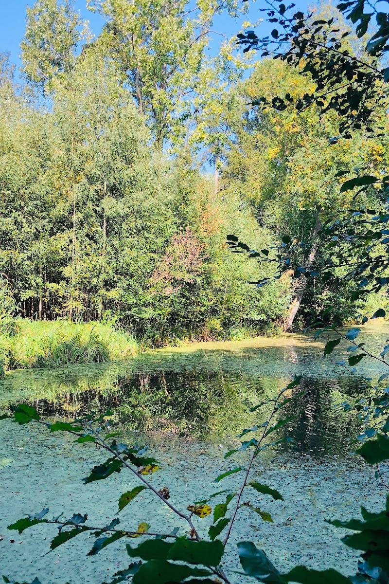
Aubrey Buxton Nature Reserve
Snakes Lane, near Stansted Mountfitchet, Essex
7.5 km away
 Place photograph8.4
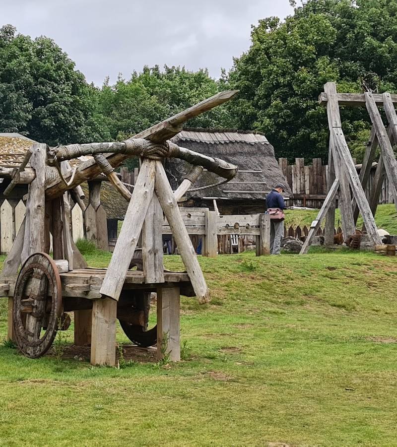
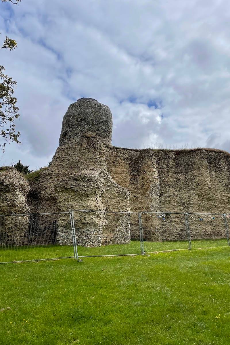
Hatfield Forest
Bush End Road, Takeley, near Bishop’s Stortford, Essex CM22 6NE
13.6 km away