Near Ivinghoe, Buckinghamshire, in the Chilterns
Ivinghoe Hills Nature Reserve
Mixed-habitat reserve
Place photograph
6.0
Wildland
1–2 hours for the sourced 4.4-mile circular walk
Time
Check
Cost
Big-sky
Feel
Why it's Wildland
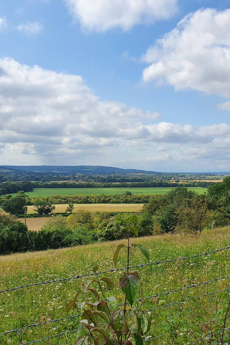
6.0The chalk hills around Ivinghoe Beacon open into wide views across the Chilterns, with the Ridgeway and Icknield Way crossing this distinctive landscape. A circular walk from Ivinghoe climbs to the beacon before returning through rolling countryside.
This is a strong Chilterns landscape walk: open chalk hills, a prominent summit viewpoint and a route that links the village with two historic paths. The exposed high ground and steep sections give the outing more character than a simple viewpoint stop.
Big-sky · Wild · Peaceful
Find your way
Open mapNear Ivinghoe, Buckinghamshire, in the Chilterns
Opening map…
Know this place a little better?
The experience
Walk from Ivinghoe towards Ivinghoe Beacon on the sourced circular route, taking in the open hillside views and sections of the Ridgeway and Icknield Way. The route is moderate, with climbs, a steep descent option and exposed hilltops; sturdy footwear and weather-appropriate clothing are advisable.
Things to do
Walk the Ivinghoe Beacon circular
Follow the 4.4-mile loop from Ivinghoe, taking in Ivinghoe Beacon and sections of the Ridgeway and Icknield Way. The route has moderate climbs, kissing gates, road sections and a steep descent that the source says can be avoided by a detour.
2–2.5 hours
Take in the view from Ivinghoe Beacon
Pause at the route’s prominent viewpoint and look out across the Chilterns landscape. The hilltops are exposed, so choose clothing for the weather.
Follow a section of the Ridgeway and Icknield Way
The circular walk follows parts of both paths. The route source notes their association with claims to being among Britain’s oldest routes.
Make a day of it
Quick escape · 2–2.5 hours
Quick Escape: climb to Ivinghoe Beacon
- 01
Follow the sourced 4.4-mile circular route from The Rose and Crown in Ivinghoe.
- 02
Climb to Ivinghoe Beacon for the viewpoint and open Chilterns scenery.
- 03
Return by the circular route, allowing for moderate climbs and the steep descent described by the route source.
Verified history
The supplied route source says the circular walk follows parts of the Ridgeway and Icknield Way, both associated with claims to being among Britain’s oldest routes. The source row describes Ivinghoe Beacon as a historic landmark and former signal point, but that claim is not confirmed by the supplied research URLs.
When to go
May · June · October · A clear, calm morning or afternoon for views from the exposed hilltops; allow extra care in wet conditions.
The source row recommends late spring to early summer for wildflowers and autumn for colour and a quieter visit. It notes that winter is possible but paths can be muddy and slippery; the supplied route source also warns that chalk can be slippery after rain.
The hilltops are exposed. The sourced route warns that chalk paths may be muddy and slippery after rain and recommends appropriate clothing and sturdy footwear.
The route
- ascent
- 613 ft
- stiles
- No stiles reported; several kissing gates and a cattle grid are mentioned.
- surface
- Well-used paths; chalk can become muddy and slippery after rain. Some road sections.
- distance
- 4.4 miles
- duration
- 2–2.5 hours
- difficulty
- Moderate
- route shape
- Loop
- start point
- The Rose and Crown, Ivinghoe, according to the sourced route.
- parking start
- The source row reports nearby parking at the National Trust car park at Ashridge Estate; confirm current arrangements and whether this suits the chosen start.
- Ivinghoe Beacon viewpoint
- Sections of the Ridgeway and Icknield Way
- Views towards Ivinghoe village and Pitstone Post Mill
Worth pairing with
The Rose and Crown, Ivinghoe
The sourced circular walk starts in the village at The Rose and Crown. Check current opening times and food arrangements before planning a stop.
What to look for
Look for the changing pattern between open chalk hillside and the wider rolling Chilterns landscape. From the route, note the views towards Ivinghoe village and Pitstone Post Mill. The source row mentions chalkhill blue butterflies and red kites, but the supplied URLs do not verify sightings at this specific reserve.
The story
The Ridgeway and Icknield Way are described by the route source as paths associated with claims to being among Britain’s oldest routes. The source row says Ivinghoe Beacon was historically used as a signal point; this detail is not independently supported by the supplied URLs.
Best time to go
Late spring to early summer for the wildflowers described in the source row; autumn for changing colours and potentially quieter paths. Paths may be muddy and slippery after rain.
Late spring to early summer is suggested in the source row for wildflowers. Autumn may bring colour and quieter conditions. Choose a clear, calm day for the open summit views; check the forecast because the hilltops are exposed and chalk paths can become slippery after rain.
How long to spend
1–2 hours for the sourced 4.4-mile circular walk; allow 2–2.5 hours.
Perfect for
Walkers · Photographers · Dogs · Families · Wildlife lovers
Practical information
Opening & access
The supplied listing describes nearby parking at the National Trust car park at Ashridge Estate. A sourced circular walk reaches Ivinghoe Beacon via established paths, but the reserve’s access arrangements and current parking details should be checked before setting out. Hillside paths can be uneven, exposed and slippery after rain.
Check before visiting
Parking
The source row reports nearby parking at the National Trust car park at Ashridge Estate. Check current parking arrangements before visiting.
Check before visiting
Toilets
The source row reports no toilets directly on site. Check before visiting.
Check before visiting
Food & drink
The source row reports no café facilities directly on site. The sourced circular route begins at The Rose and Crown in Ivinghoe, but check its current opening and food arrangements before relying on it.
Check before visiting
Dogs
The source row marks the site dog-friendly. The sourced route crosses grazed pastures with free-roaming cattle, ponies and sheep; take care with dogs and check any current local guidance.
Check before visiting
Accessibility
The source row says terrain is uneven and wheelchair access is challenging. The sourced circular route includes moderate climbs, a very steep descent option, kissing gates and road sections; it is not described as wheelchair-accessible.
Cost
Check before visiting
Check before visiting
Gallery
Place photographsKeep exploring
Around Ivinghoe Hills Nature Reserve
Within 50 km · approximate straight-line distances
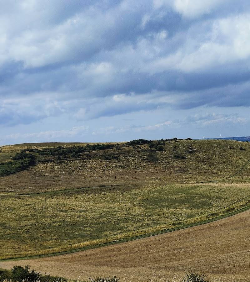 Place photograph7.6
Ivinghoe Beacon
Ivinghoe Beacon, near Ivinghoe and Aldbury, Buckinghamshire
0.9 km away
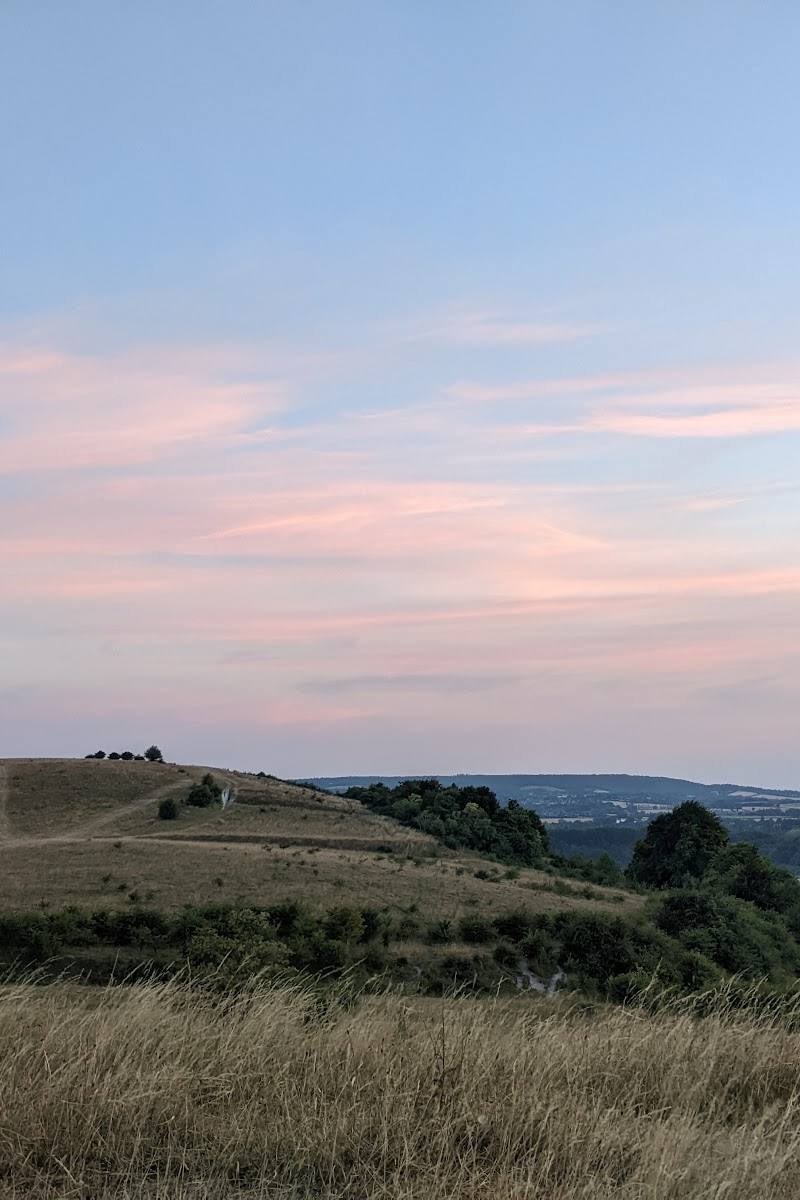 Place photograph6.0
Pitstone Hill
Pitstone Hill, near Pitstone, Buckinghamshire, in the Chiltern Hills
1.4 km away