Springfield, Chelmsford, Essex, CM1 1RB
Chelmer Valley Riverside
Mixed-habitat reserve
Place photograph
4.9
Wildland
1–2 hours
Time
Free
Cost
Peaceful
Feel
Why it's Wildland
4.9A 17.6-hectare strip of river, woodland, meadow, marsh and pond habitat threads through Chelmsford, offering a quieter way to explore the city’s green edge.
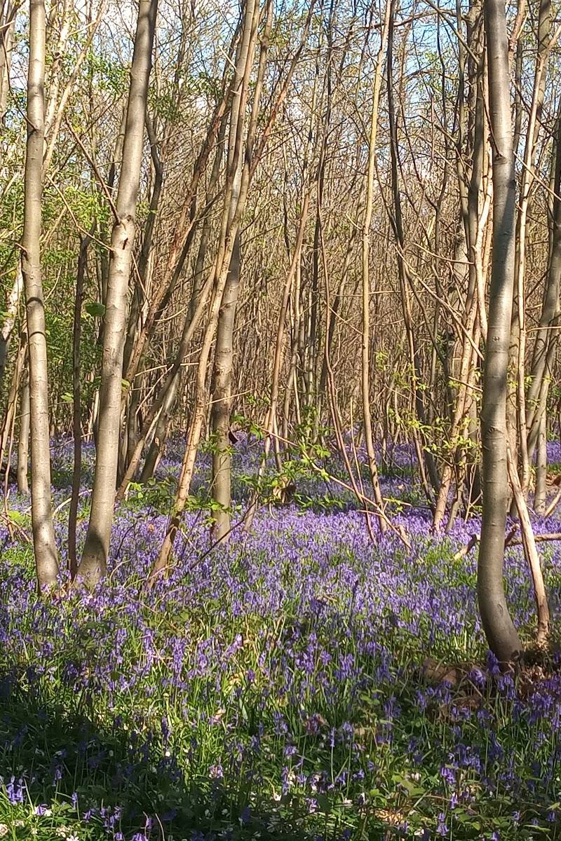
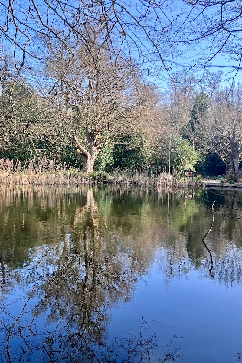
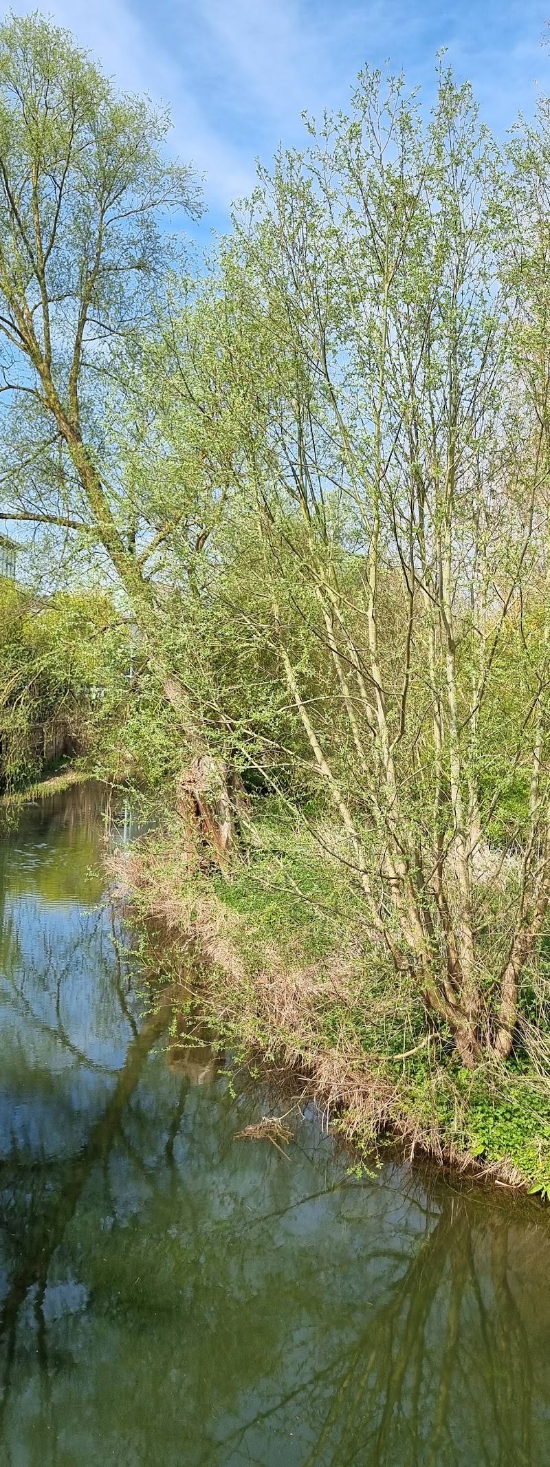
The appeal is the variety packed into a long riverside corridor: old hedges, riverine woodland, marsh and wildflower meadow sit alongside the River Chelmer, with wildlife habitat surprisingly close to the city.
Peaceful
Find your way
Open mapSpringfield, Chelmsford, Essex, CM1 1RB
Opening map…
Know this place a little better?
The experience
Explore the riverside paths and habitat mosaic, keeping an eye out for wildflowers in the meadow and wildlife along the water. The reserve is an urban green corridor rather than a remote countryside escape.
Things to do
Walk the river corridor
Use the reserve’s footpaths to explore a stretch of the River Chelmer between its listed access points.
About 1 hour
Explore Stable Field Meadow
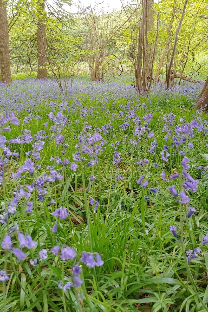
Look across the meadow for flowering plants. The council reports more than 30 species, including pyramidal and common spotted orchids.
Watch for river wildlife
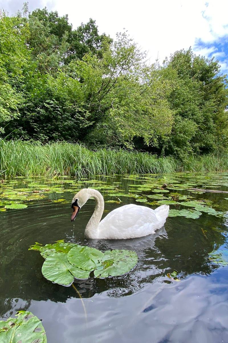
In summer, scan the river for dragonflies and kingfishers. Wildlife sightings are not guaranteed.
Make a day of it
Quick escape · About 1 hour
Quick riverside escape
- 01
Enter from a convenient access point such as Valley Bridge or Victoria Road.
- 02
Walk a section of the riverside path and take in the changing mix of river, trees and open habitat.
- 03
Pause to look for birds or seasonal plants before returning the way you came.
Half day · Around 2–3 hours
Make a half day of it
- 01
Start at Springfield Hall Park, where reserve parking is available according to the council listing.
- 02
Walk through the reserve towards Valley Bridge, exploring the river corridor and its varied habitats.
- 03
Spend time around Stable Field Meadow looking for wildflowers and signs of insect and bird life.
- 04
Return by the riverside paths; check current parking arrangements before setting out.
Verified history
Chelmer Valley Local Nature Reserve is managed by Chelmsford City Council with volunteer support. Its Stable Field Meadow is actively managed to support wildflowers and wildlife, including reptiles; the council describes volunteer work such as seeding, weeding, cutting and controlling invasive species.
Hidden details
A meadow managed for plants and reptiles — Stable Field Meadow combines flowering plants with habitat features intended to help reptiles, including hibernacula and areas of longer grass.
When to go
April · May · June · July · August · A calm morning is a sensible time to look for wildlife; no specific quiet period is confirmed.
Spring brings nesting birds in the northern section, while summer is noted for dragonflies and possible kingfisher sightings. The meadow’s flowering plants are also a seasonal draw.
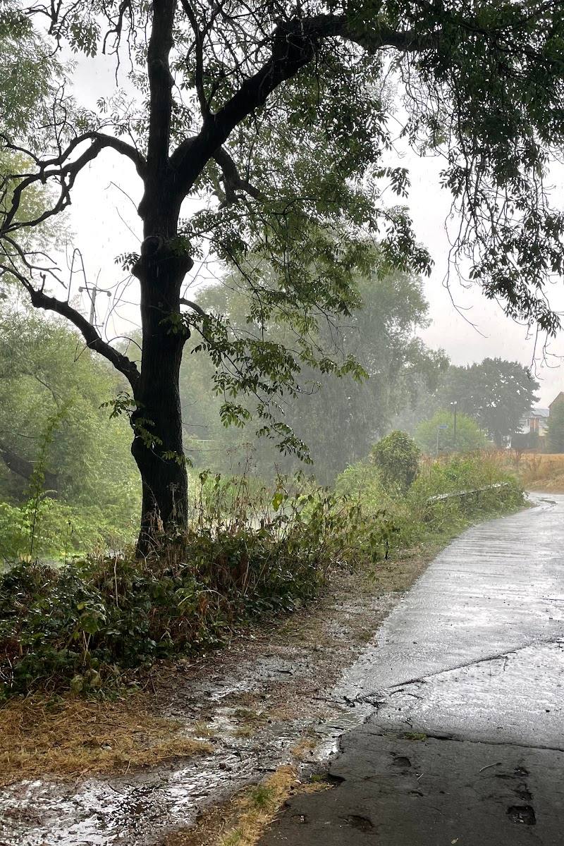
The riverside and meadow sections may be affected by wet or flood conditions. Check local conditions before visiting.
The route
- ascent
- 22 m for the AllTrails circular.
- surface
- The AllTrails route listing describes most of its surface as paved. Conditions on the reserve may vary.
- distance
- The reserve runs approximately 2.5 km from Valley Bridge to Victoria Road. A separate AllTrails circular route is listed as 6.9 km.
- duration
- The AllTrails circular is estimated at 1–1.5 hours.
- difficulty
- Easy, according to the AllTrails circular listing.
- route shape
- The reserve is a linear riverside corridor; the separately listed AllTrails route is circular.
- start point
- Access points include Valley Bridge, Victoria Road, Rivermead and Fifth Avenue.
- parking start
- The council lists Springfield Hall Park as a parking option. Wild Essex also lists Riverside Leisure Centre parking as pay and display.
- shorter alternative
- Choose a short out-and-back from one of the listed access points; no measured shorter route is provided by the sources.
- River Chelmer
- Stable Field Meadow
- Riverine woodland, old hedges, scrub and marsh
Worth pairing with
Springfield Hall Park
A nearby green space, 0.37 miles away according to the council listing, and a stated parking option for the reserve.
Springfield Green and Pollards Meadow
Another nearby green space listed 0.45 miles from the reserve by the council.
What to look for
- 01
Look for the reserve’s mix of old hedges, river-lined woodland, marsh and seasonal pond. Stable Field Meadow supports more than 30 flowering plant species, including pyramidal and common spotted orchids
- 02
the site profile also notes dragonflies and kingfishers along the river in summer.
Best time to go
Spring and summer for nesting birds, wildflowers and the chance to look for dragonflies along the river.
Spring is a good time to look for nesting birds in the northern section. In summer, watch the river for dragonflies and kingfishers. Wildlife sightings are not guaranteed.
How long to spend
1–2 hours
Perfect for
Walkers · Wildlife lovers · Families · Cyclists
Before you go
Address
Listed hours
- Monday: Open 24 hours
- Tuesday: Open 24 hours
- Wednesday: Open 24 hours
- Thursday: Open 24 hours
- Friday: Open 24 hours
- Saturday: Open 24 hours
- Sunday: Open 24 hours
Check before visiting.
Google rating
Practical information
Opening & access
The reserve is open at all times, with pedestrian access from Victoria Road, Rivermead, Fifth Avenue, Valley Bridge and Springfield Hall Park. Paths run through the reserve; check current conditions and parking arrangements before visiting.
Check before visiting
Parking
Parking is available at Springfield Hall Park, where the council listing gives 97 spaces and 5 disabled spaces. The reserve can also be reached from other access points; check parking arrangements before travelling.
Check before visiting
Toilets
Check before visiting
Check before visiting
Food & drink
Check before visiting
Check before visiting
Dogs
Check before visiting
Check before visiting
Accessibility
Walking and cycling access is described as good. An AllTrails listing describes a nearby circular route as mostly paved and easy, but route and surface conditions may vary. Check before visiting if you need step-free access or specific facilities.
Check before visiting
Cost
Free
Water
River, pond, marsh
Gallery
Place photographsKeep exploring
Around Chelmer Valley Riverside
Within 50 km · approximate straight-line distances