Antrim Road, Belfast, Northern Ireland, BT5 5GR
Cave Hill Country Park
Viewpoint
Place photograph
6.3
Wildland
1–2 hours, Half day
Time
Check
Cost
Dramatic
Feel
Why it's Wildland
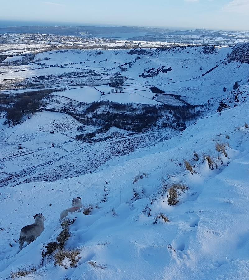
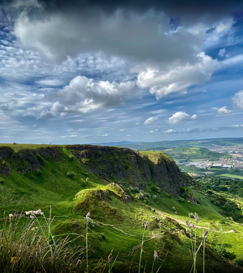
6.3Above Belfast, Cave Hill’s rugged slopes bring panoramic city views together with five caves, woodland trails and the ancient fort of McArt’s Fort.
This is a rare meeting of open hillside and city: Cave Hill’s rugged profile rises above Belfast, with woodland and species-rich grassland on its slopes, archaeological remains to seek out and expansive views from the high ground.
Dramatic · Wild
Find your way
Open mapAntrim Road, Belfast, Northern Ireland, BT5 5GR
Opening map…
Know this place a little better?
The experience
Choose a short Castle Trail through Belfast Castle’s gardens, a woodland Estate Trail on the lower slopes, or the more demanding Cavehill Trail to McArt’s Fort and the hilltop views.
Things to do
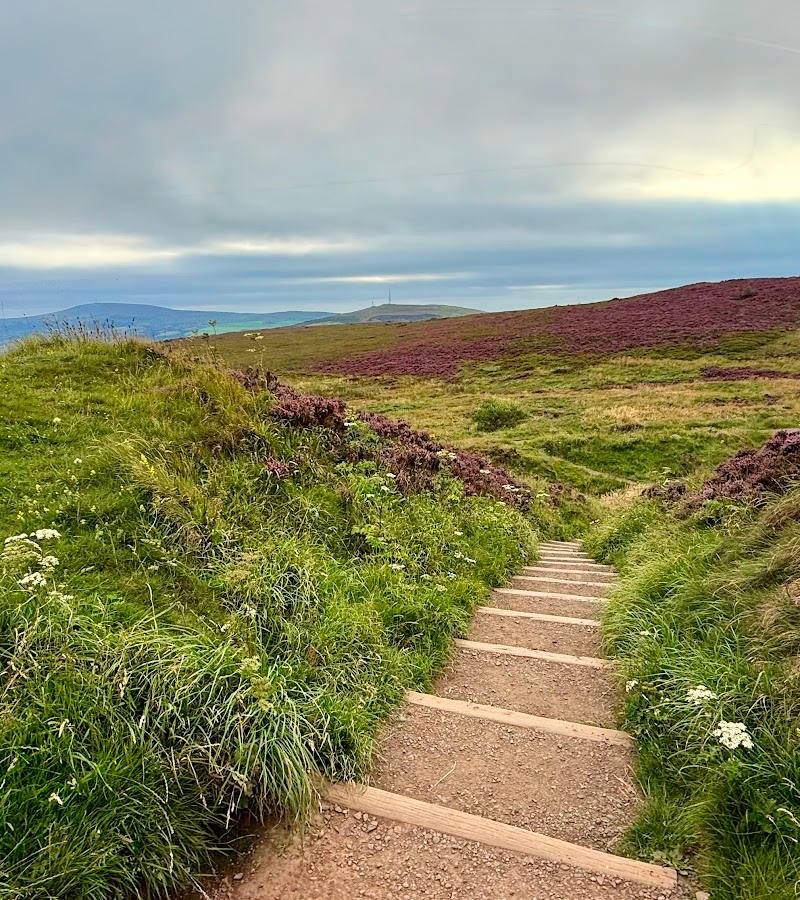
Walk the Cavehill Trail to McArt’s Fort
Take the 4.5-mile (7.2 km) circular route to McArt’s Fort, an ancient ráth near the hilltop. The route has 256 m of ascent and requires a good level of fitness. The council reports an erosion-related partial closure between Devil’s Punchbowl and McArt’s Fort; check the current route advice before setting out.
Check current route timing
Follow the woodland Estate Trail
Walk the 2.4-mile (3.9 km) circular route through woodland on the lower slopes. The stated ascent is 134 m.
Check current route timing
Explore Belfast Castle’s garden trail
Take the short 0.8-mile (1.3 km) circular Castle Trail through the gardens at Belfast Castle.
Check current route timing
Seek out the caves and archaeological remains
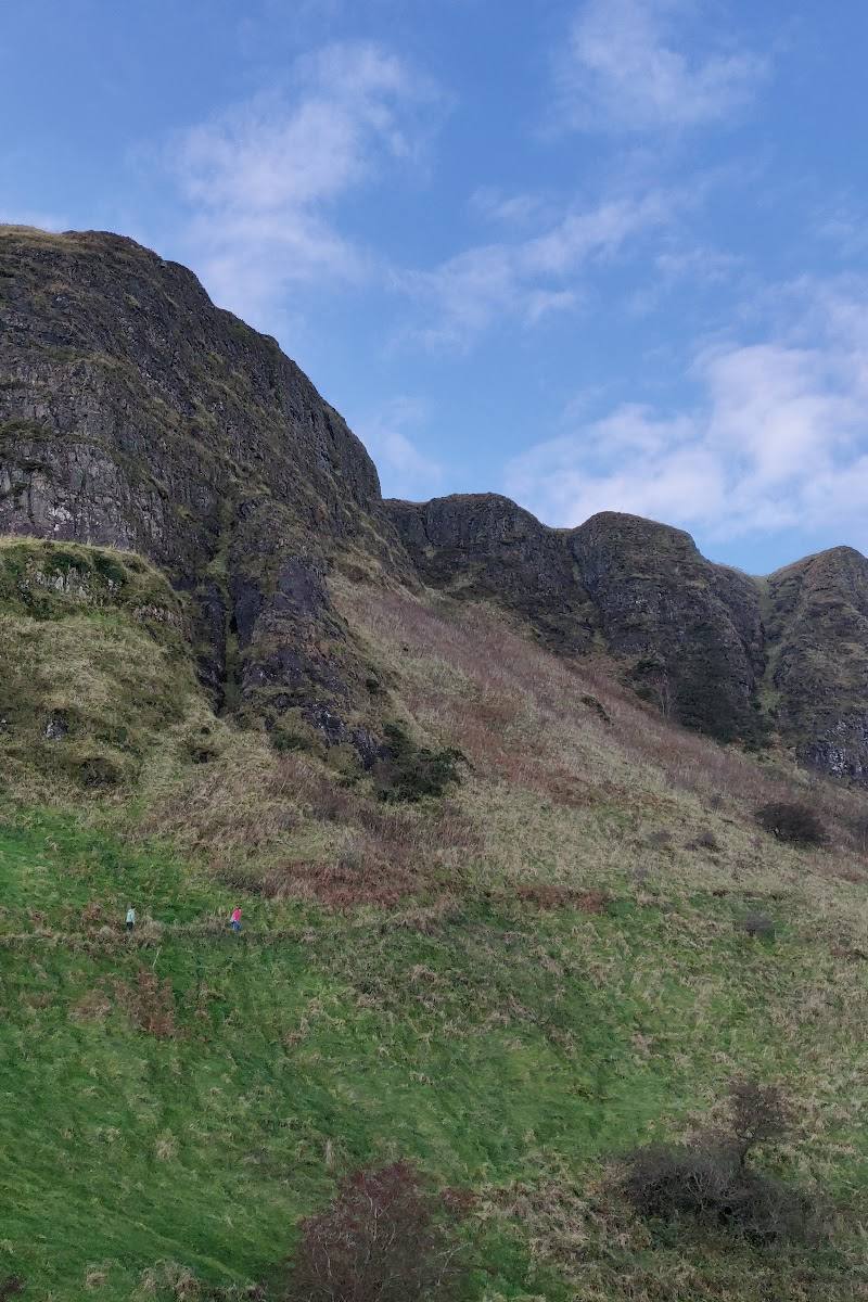
The park takes its name from five caves on the cliffs, which the council says could have been early iron mines. The wider park also contains the remains of a stone cairn, cashel and crannog.
Make a day of it
Quick escape · Check current route timing
Quick Escape: Castle Trail
- 01
Start from the Belfast Castle area.
- 02
Follow the short circular Castle Trail through the castle gardens.
- 03
Allow time to take in the hillside setting and views.
Half day · Check current route timing
Make a Half Day of It: Estate Trail
- 01
Start at the walking trailhead by the second car park on the main drive to Belfast Castle from Innisfayle Park.
- 02
Follow the 2.4-mile (3.9 km) circular Estate Trail through woodland on the lower slopes.
- 03
Pause to explore Belfast Castle’s garden trail if time and conditions allow.
Verified history
Cave Hill Country Park contains several archaeological sites, including the remains of a stone cairn, cashel and crannog. Its most prominent named site is McArt’s Fort, described by Belfast City Council as an ancient ráth standing almost 368 metres above sea level. The park is named for five caves on the cliffs, which the council says could have been early iron mines; that proposed use is not confirmed as fact.
Hidden details
Five caves in the cliffs — The caves give the park its name. Belfast City Council notes they could have been early iron mines, while making clear this is a possibility rather than a confirmed interpretation.
A landscape of archaeological remains — McArt’s Fort is not the park’s only archaeological feature: the council also records remains of a stone cairn, cashel and crannog.
When to go
April · May · June · July · August · September · Choose a clear day; no specific time of day is established by the supplied sources.
Longer daylight in spring and summer can make it easier to plan a route with substantial ascent. No seasonal wildlife or flowering claims are supported by the supplied sources.
Conditions can be inclement. Belfast City Council recommends sturdy walking shoes and weather-appropriate clothing for the Cavehill Trail; check current trail conditions before visiting.
Worth pairing with
Belfast Castle
The castle and its gardens are within the country park and form the focus of the short Castle Trail.
What to look for
Look for the five caves on the cliffs, the remains of McArt’s Fort, and the park’s other archaeological features: a stone cairn, cashel and crannog. On the lower slopes, notice the woodland and species-rich grassland.
The story
Archaeology
Best time to go
Spring to autumn for longer daylight and more comfortable walking; check conditions before setting out.
Choose a clear day for the best chance of far-reaching views. Check the forecast and trail conditions; the council recommends sturdy walking shoes and clothing for inclement weather on the Cavehill Trail.
How long to spend
1–2 hours, Half day
Perfect for
Walkers · Photographers · History lovers
Before you go
Address
Phone
Website
Listed hours
- Monday: Open 24 hours
- Tuesday: Open 24 hours
- Wednesday: Open 24 hours
- Thursday: Open 24 hours
- Friday: Open 24 hours
- Saturday: Open 24 hours
- Sunday: Open 24 hours
Check before visiting.
Google rating
Practical information
Opening & access
The park has several listed entrances, including at Belfast Castle, Carr’s Glen and Upper Cavehill Road. Belfast City Council describes three waymarked trails. Check current access and route conditions before visiting.
Check before visiting
Parking
Belfast City Council lists car parks at Innisfayle Park, Gray’s Lane and Upper Hightown Road. Check current parking arrangements before travelling.
Check before visiting
Toilets
Check before visiting.
Check before visiting
Food & drink
Check before visiting.
Check before visiting
Dogs
Dogs should be kept on a short lead around grazing cattle. If cattle approach, the council advises letting your dog off the lead. Keep to pathways and do not approach cattle.
Accessibility
The source row reports a wheelchair-accessible car park. The hill routes include steep sections and the Cavehill Trail requires a good level of fitness; route accessibility varies. Check route conditions before setting out.
Check before visiting
Cost
Check before visiting
Check before visiting
Water
Stream
Gallery
Place photographsKeep exploring
Around Cave Hill Country Park
Within 50 km · approximate straight-line distances
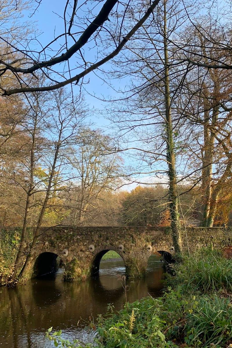 Place photograph5.2
National Trust Minnowburn
Edenderry Road, Belfast, County Down, Northern Ireland, BT8 8LE
11.3 km away
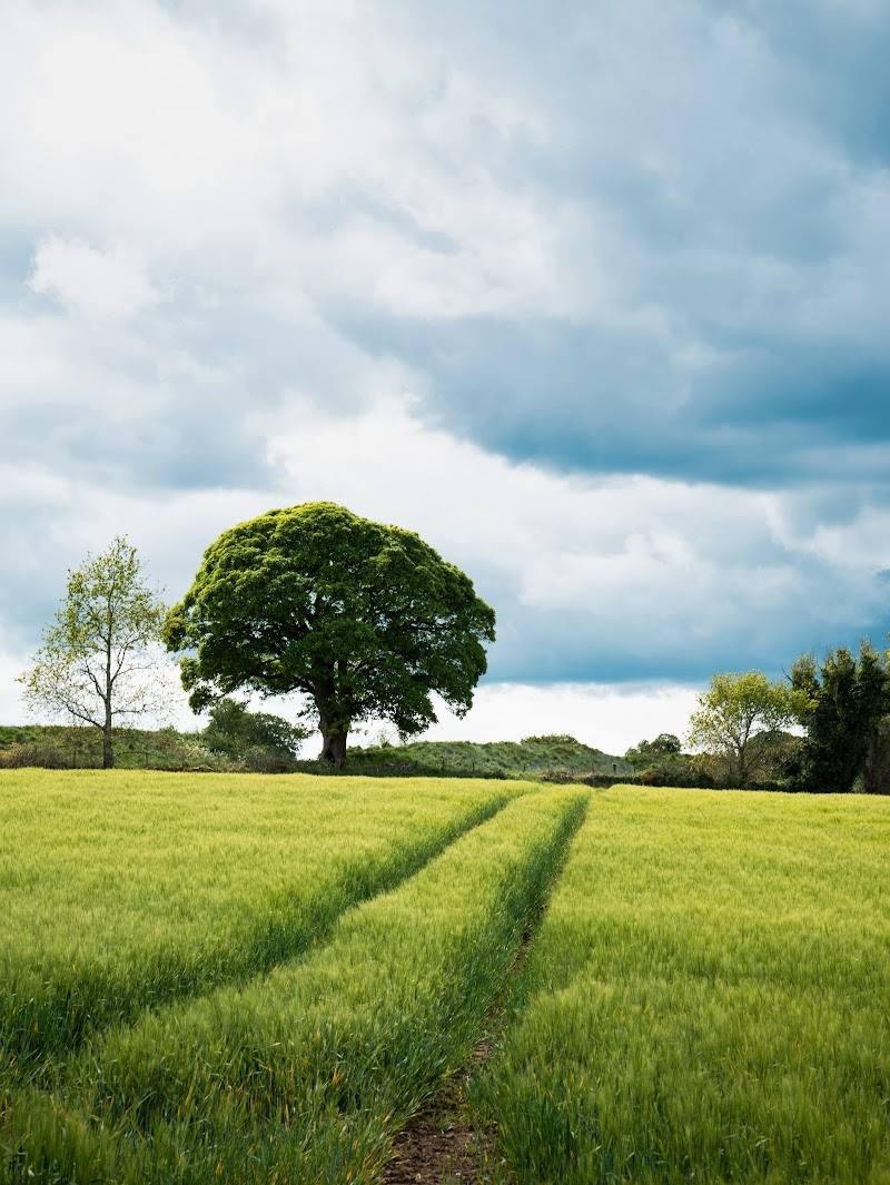 Place photograph7.2
Lagan Valley Area of Outstanding Natural Beauty
Belfast and Lisburn, Northern Ireland
13.1 km away
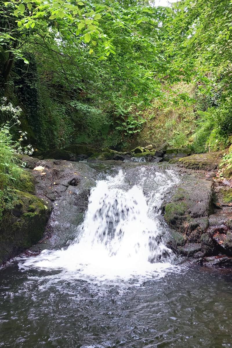 Place photograph6.4
Gleno Waterfall
Waterfall Road, Gleno, near Larne, County Antrim, BT40 3LE
18.3 km away