Black Mountains, near Craswall, Herefordshire
Black Hill (the Cat’s Back)
Viewpoint
Place photograph
6.6
Wildland
Half day
Time
Check
Cost
Big-sky
Feel
Why it's Wildland
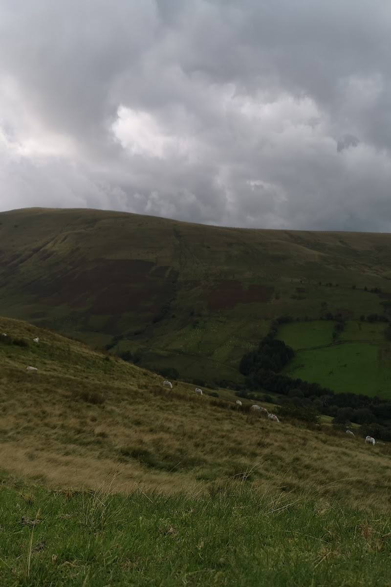
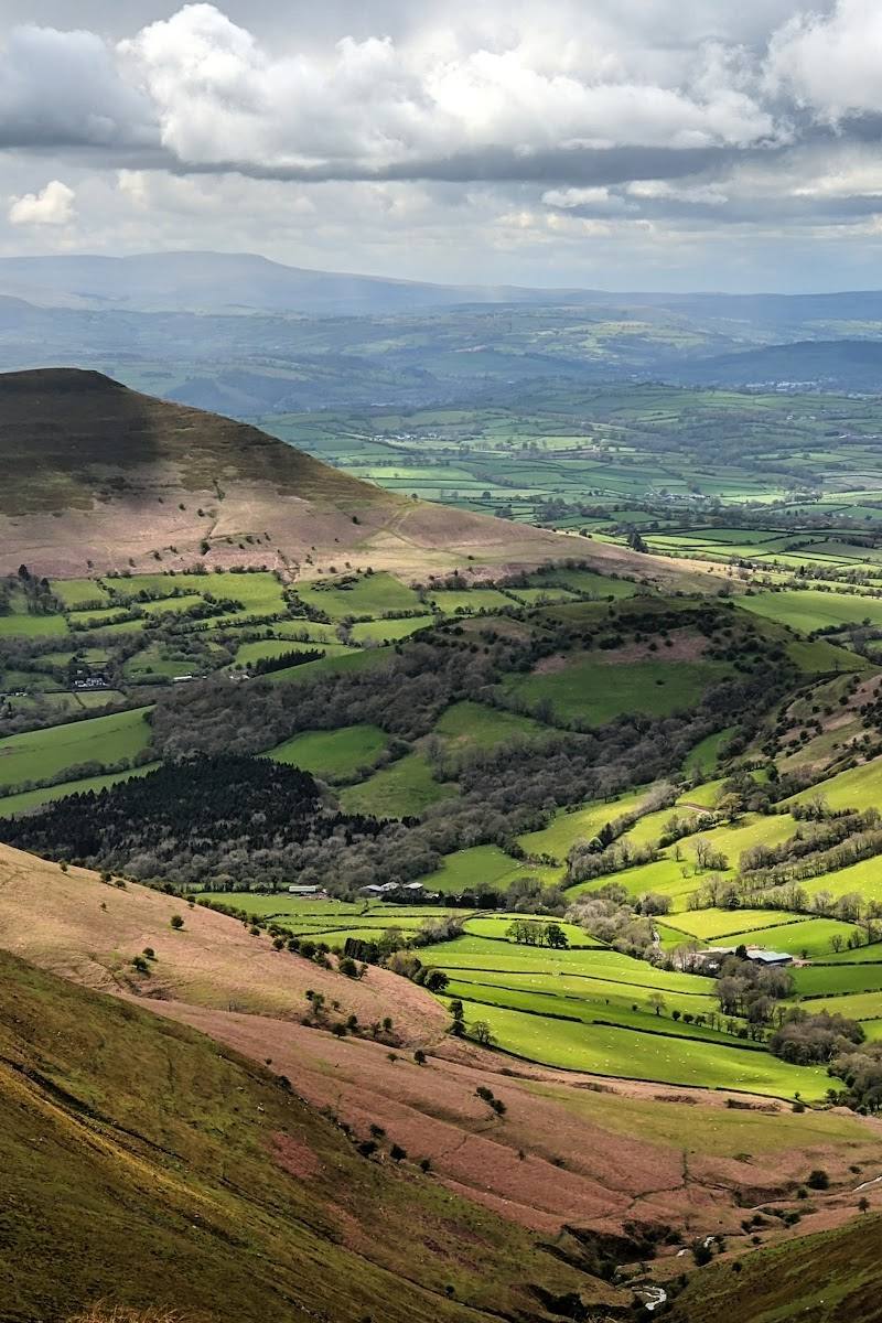
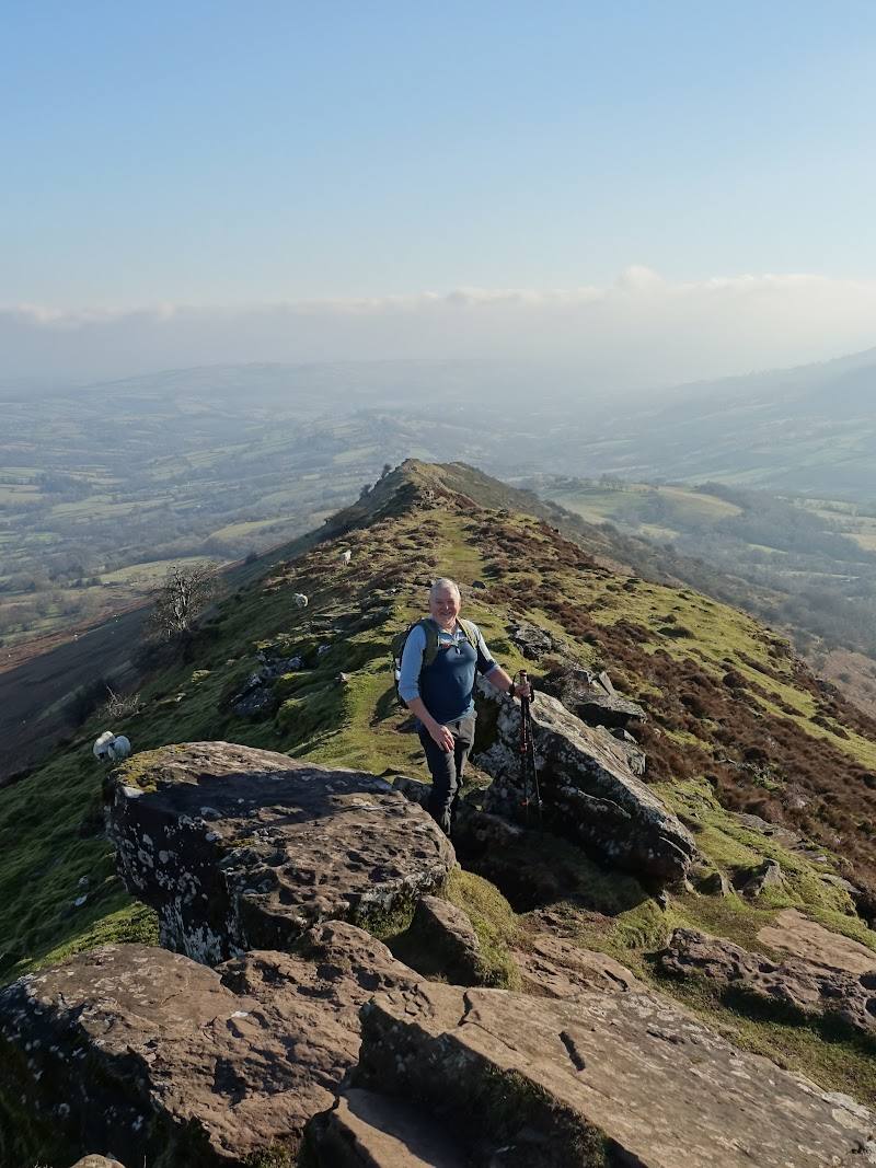
6.6The Cat’s Back is a distinctive ridge walk above the Olchon Valley. From the crest, the route opens out to views across the Black Mountains and towards the Golden Valley and Herefordshire.
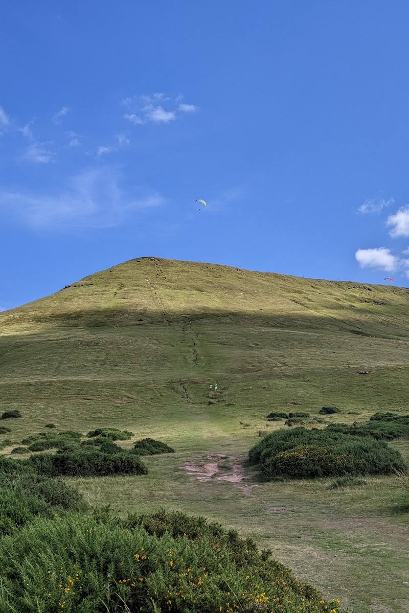
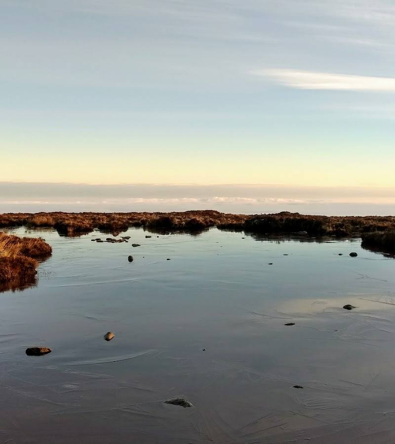
A high, open ridge, peat-bog surroundings and far-reaching valley views make Black Hill feel properly upland. The circular walk adds a satisfying climb and ridge traverse to the scenery, rather than making this just a roadside viewpoint.
Big-sky · Wild · Dramatic
Find your way
Open mapBlack Mountains, near Craswall, Herefordshire
Opening map…
Know this place a little better?
The experience
A moderate circular ridge walk of about 6.2 miles (10 km), described as taking around three hours. The route climbs to Black Hill’s trig point and follows the ridge above the Olchon Valley.
Things to do
Walk the Black Hill circular
Follow the described moderate loop from The Bull’s Head car park, climbing by the sunken lane and footpath to the ridge before descending back towards the start.
About 3 hours; 6.2 miles (10 km)
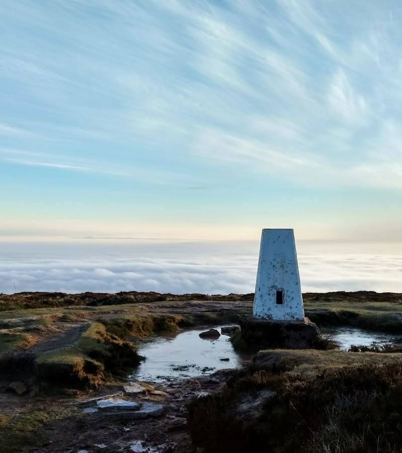
Reach the Black Hill trig point
Continue up the steep slope and through the rocks to the ridge-top trig point, a natural pause on the circular walk.
Look across the Olchon Valley
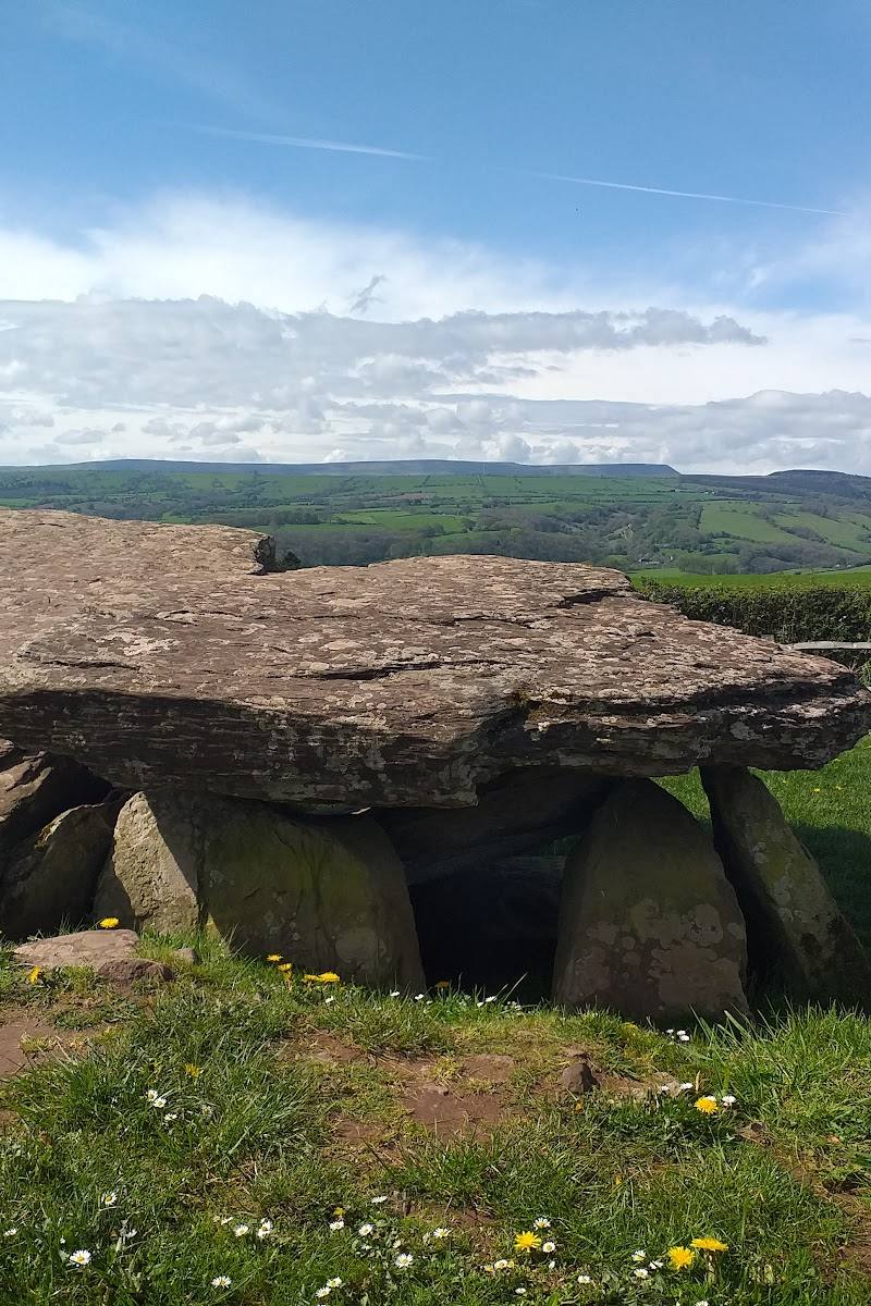
The route guide describes views over the Olchon Valley and Golden Valley towards Herefordshire and beyond. Visibility depends on conditions.
Make a day of it
Quick escape · About 3 hours
Quick ridge escape
- 01
Start from The Bull’s Head car park, checking parking arrangements before setting out.
- 02
Follow the described route up to Black Hill’s ridge and trig point.
- 03
Take in the views over the Olchon Valley, then return by the described circular route.
Half day · Around 3 hours walking, plus time to pause
Make a half day of the Cat’s Back
- 01
Walk the 6.2-mile (10 km) circular route from The Bull’s Head car park.
- 02
Pause at the Black Hill picnic spot and trig point, and allow time to enjoy the ridge and valley views.
- 03
Return to The Bull’s Head; check ahead if you hope to eat or drink there.
Hidden details
The Black Hill picnic spot — The route guide marks a Black Hill car park and picnic spot on the approach to the ridge. Treat it as a route landmark and check current facilities and access before relying on it.
When to go
April · May · June · July · August · September · A clear, settled morning or early afternoon, allowing enough daylight for the full walk.
The supplied route information gives no seasonal wildlife or flowering detail. Spring to autumn is suggested for a more comfortable upland walk, but conditions vary and the route is exposed.
Exposed ridge walking can be unpleasant or hazardous in poor visibility, strong winds, rain or cold. Check the mountain forecast and route conditions before departure; carry suitable clothing and navigation.
The route
- stiles
- Not specified; a gate is mentioned.
- surface
- Not specified; the described route includes a sunken lane, footpaths and a rocky ascent.
- distance
- 6.2 miles / 10 km
- duration
- Around 3 hours
- difficulty
- Moderate
- waymarking
- Not specified; follow a reliable route map or navigation.
- route shape
- Circular
- start point
- The Bull’s Head car park, as stated by the route guide.
- parking start
- The guide starts at The Bull’s Head car park; check current parking arrangements before visiting.
- Black Hill / Cat’s Back ridge
- Black Hill trig point
- Views over the Olchon Valley and Golden Valley towards Herefordshire
- Black Hill picnic spot on the described route
Worth pairing with
The Bull’s Head
The circular route begins and ends at the pub’s car park, according to the walk guide. Check current access, parking, opening and food arrangements before planning around it.
What to look for
Look for the ridge’s steep, distinctive profile, the trig point and the changing views over the Olchon Valley, Golden Valley and Herefordshire. The source-row description also notes peat bog and birds of prey in the area.
Best time to go
Spring to autumn for generally more comfortable walking conditions; clear, calm weather is especially valuable for the views. Check the forecast before travelling.
Choose a clear, settled day for the broad views; avoid setting out in poor visibility or severe weather. Check the forecast and current route conditions before you go.
How long to spend
Half day
Perfect for
Walkers · Photographers · Wildlife lovers
Before you go
Address
Google rating
Practical information
Opening & access
A walking route to the ridge and trig point is described from The Bull’s Head car park. Check current access, parking arrangements and conditions before setting out; this is exposed upland terrain.
Check before visiting
Parking
The described circular route starts at The Bull’s Head car park. The source does not confirm current parking arrangements; check before visiting.
Check before visiting
Toilets
Check before visiting.
Check before visiting
Food & drink
The route guide identifies The Bull’s Head as the start and return point and links to its pub page. Check current opening and food arrangements before visiting.
Check before visiting
Dogs
Check before visiting; no dog-specific rules were supplied.
Check before visiting
Accessibility
The described route is a moderate 6.2-mile (10 km) walk with a steep section up to the ridge; it is not presented as an accessible route. Conditions can change, so check locally and take suitable footwear and clothing.
Check before visiting
Cost
Check before visiting
Check before visiting
Water
Peat bog is mentioned in the source-row description; no visitor access to open water is established.
Gallery
Place photographsKeep exploring
Around Black Hill (the Cat’s Back)
Within 50 km · approximate straight-line distances