Berengrave Lane, Rainham, Gillingham, Kent ME8 7UJ
Berengrave Nature Reserve
Mixed-habitat reserve
Source image
4.8
Wildland
Under 1 hour
Time
Check
Cost
Peaceful
Feel
Why it's Wildland
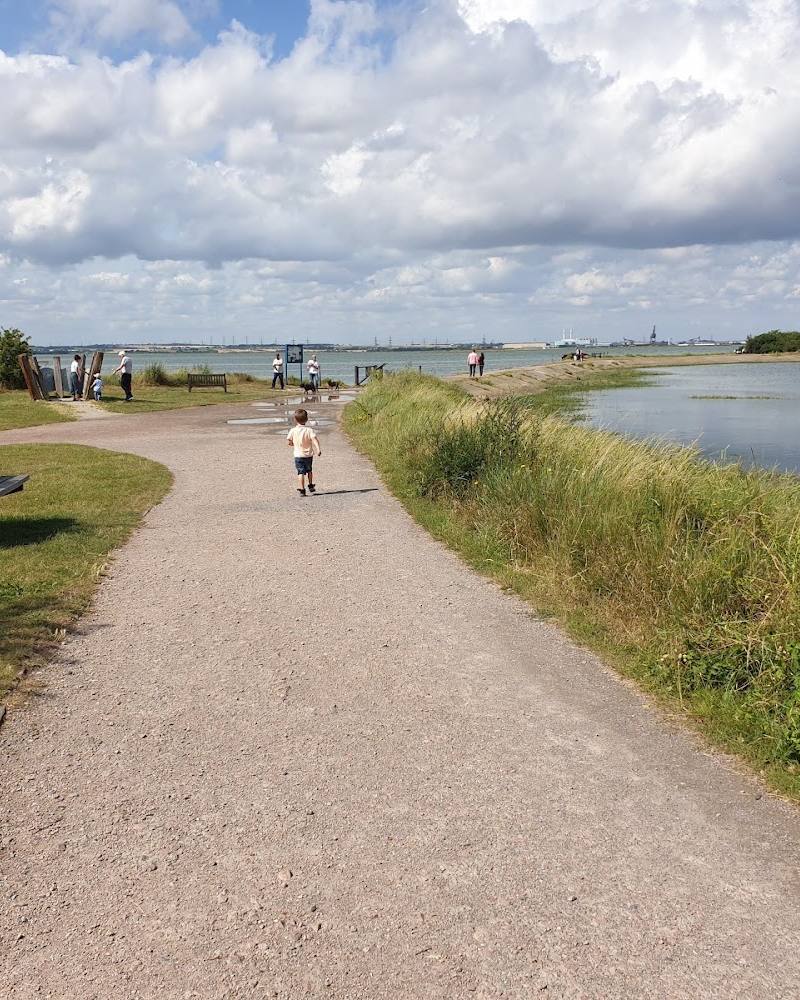
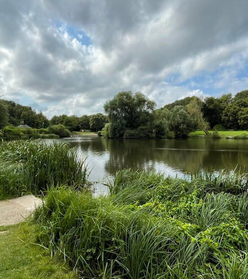
4.8A former chalk pit reclaimed by nature: Berengrave brings together a small lake, reedbeds, scrub and woodland in a sunken landscape on Rainham’s edge.
The appeal is the contrast between industrial ground and a compact patchwork of wetland and woodland. A reported short circular route offers a brief nature escape, but recent reports of obstructions mean checking conditions first.
Peaceful · Atmospheric
Find your way
Open mapBerengrave Lane, Rainham, Gillingham, Kent ME8 7UJ
Opening map…
Know this place a little better?
The experience
Berengrave is a compact reserve for a short walk rather than a destination for a full day. Its particular interest is the change from former chalk workings to a small lake, reedbeds, scrub and woodland. Check current path conditions: recent route reports describe obstructions and closure.
Things to do
Walk a short reserve circuit
AllTrails describes a 1.4 km circular route through the reserve. Recent reports on the same page mention obstructions and a closed full walk, so verify conditions before relying on it.
Around 30–60 minutes
Look across the reclaimed chalk pit
The reserve is described as a disused chalk pit with a small lake, reedbeds, scrub and woodland. Take time to notice how these habitats occupy the former industrial landscape.
Make a day of it
Quick escape · Around 30–60 minutes
Quick chalk-pit escape
- 01
Check whether paths are currently open before setting out.
- 02
If access is available, take a short walk to experience the reserve’s former chalk-pit setting and its reported mix of lake, reedbeds, scrub and woodland.
Verified history
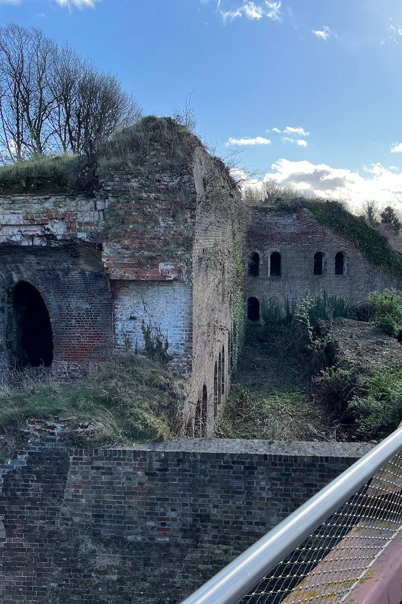
The Woodland Trust describes Berengrave as a chalk pit turned nature haven and highlights its industrial heritage. A Komoot contributor also reports surviving building features visible from paths. The supplied sources do not establish dates or identify the structures.
When to go
· No preferred time is established by the supplied sources.
The supplied sources do not identify seasonal highlights. Current path access and conditions are the more important planning consideration.
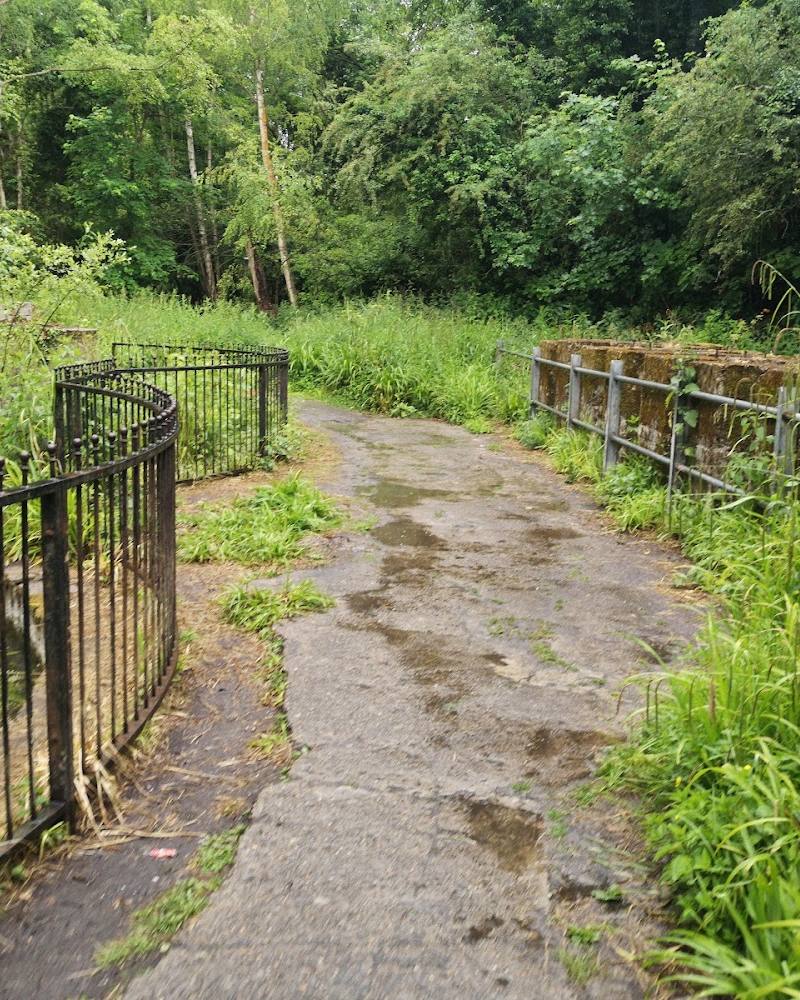
Recent route reports mention obstructions and overgrowth. Check current conditions before visiting.
The route
- ascent
- 15 m
- distance
- 1.4 km
- duration
- 0.5–1 hour
- difficulty
- Easy, according to AllTrails; recent reports mention obstructions and a closed full walk.
- route shape
- Loop
- start point
- The route source describes a Berengrave reserve circular; confirm the current start and access before visiting.
- parking start
- Check before visiting. The supplied map pin is a main-place pin, not a verified entrance or parking location.
- Former chalk-pit landscape
- Small lake
- Reedbeds, scrub and woodland
- Reported surviving building features
What to look for
- 01
Notice the contrast between the former chalk-pit landscape and the habitats described at the reserve: lake, reedbeds, scrub and woodland. A route contributor also reports that paths pass remaining building features
- 02
check whether the route is currently open.
The story
Industrial heritage: the reserve occupies a former chalk pit.
Best time to go
Check current path conditions before visiting. No specific seasonal peak is verified in the supplied sources.
No particular month or time of day is established by the supplied sources. Check current access and path conditions before travelling.
How long to spend
Under 1 hour
Perfect for
Walkers · Wildlife lovers · Families
Before you go
Address
Website
Listed hours
- Monday: Open 24 hours
- Tuesday: Open 24 hours
- Wednesday: Open 24 hours
- Thursday: Open 24 hours
- Friday: Open 24 hours
- Saturday: Open 24 hours
- Sunday: Open 24 hours
Check before visiting.
Google rating
Practical information
Opening & access
The Woodland Trust describes this as a Medway Council wood, and a route source lists access from Berengrave Lane. Recent AllTrails reports mention obstructions and a closed full walk; check current access and path conditions before setting out. Access arrangements are unconfirmed. Check before visiting; do not enter private land or restricted structures.
Check before visiting
Parking
Google’s supplied listing data reports free parking, but this is not confirmed by the other supplied sources. Check before visiting; the accepted map pin is not an entrance or parking pin.
Check before visiting
Toilets
Check before visiting
Check before visiting
Food & drink
Check before visiting
Check before visiting
Dogs
Google’s supplied listing data indicates dogs are allowed; check current reserve guidance and signage for restrictions.
Check before visiting
Accessibility
The listed circular route is described as easy, but its suitability for particular mobility needs is not established. Recent reports mention obstructions and a closed full walk; check conditions before visiting.
Check before visiting
Cost
Check before visiting
Check before visiting
Water
Lake and reedbeds
Gallery
Place photographsKeep exploring
Around Berengrave Nature Reserve
Within 50 km · approximate straight-line distances