Ben Wyvis, near Garve, Highland
Ben Wyvis National Nature Reserve
Mixed-habitat reserve
Place photograph
8.5
Wildland
Full day
Time
Check
Cost
Wild
Feel
Why it's Wildland
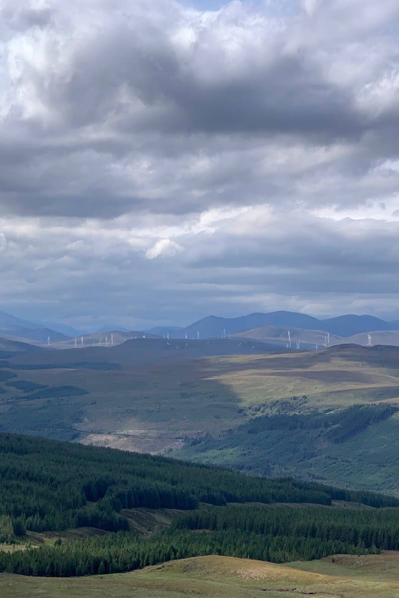
8.5Ben Wyvis’s broad, isolated ridge dominates the surrounding landscape. Its summit plateau is home to mountain wildlife and plants adapted to harsh conditions, with extensive Highland views on a clear day.
This is a genuinely substantial Highland mountain landscape, not a short nature stop: the summit route climbs 935 metres to a broad ridge, with upland wildlife and far-reaching views as its reward. It calls for a properly planned mountain day.
Wild · Remote · Dramatic · Big-sky
Find your way
Open mapBen Wyvis, near Garve, Highland
Opening map…
Know this place a little better?
The experience
Plan around the summit walk rather than treating the reserve as a quick stop. The described route climbs through forest before steepening towards An Cabar and the summit ridge. Allow 4.5–5.5 hours for the walk itself, and check mountain weather and current access conditions.
Things to do
Walk to the summit ridge
Take the described ascent from Ben Wyvis car park via forest paths and the steep approach to An Cabar. The route reaches Ben Wyvis’s spacious plateau and offers extensive views in suitable weather.
4.5–5.5 hours
Look for summit wildlife
Keep an eye out for ptarmigan and mountain hares; NatureScot notes dotterel in summer and snow bunting in winter. Sightings are not guaranteed.
Notice the upland plants
Look for dwarf birch, dwarf shrubs, mosses, liverworts and lichens adapted to the exposed mountain slopes.
Make a day of it
Quick escape · 4.5–5.5 hours walking; allow a full day for planning and conditions
The Ben Wyvis summit walk
- 01
Start at Ben Wyvis car park south of Garbat.
- 02
Follow the path through the forest and across the Allt a’ Bhealaich Mhòir footbridge.
- 03
Continue uphill towards An Cabar, where the ground becomes much steeper.
- 04
Reach the broad summit ridge for extensive views when visibility allows.
- 05
Return by the described route, allowing extra time if conditions are difficult.
Hidden details
A high-altitude wildlife lookout — The summit plateau is noted for ptarmigan and dotterel; NatureScot also highlights seasonal mountain-hare plumage and winter snow buntings. Take time to scan the plateau, but do not expect a sighting.
The ascent changes character above the forest — The route description begins on paths through forest, then becomes much steeper on the climb towards An Cabar. Expect a mountain ascent rather than a gentle reserve stroll.
When to go
June · July · August · Start early enough to complete the mountain walk within the available daylight and a suitable weather window.
Walkhighlands describes the ascent as reasonably straightforward in good summer conditions. NatureScot identifies dotterel in summer and snow bunting in winter; mountain conditions remain the deciding factor.
The route reaches exposed high ground and conditions can make navigation harder. A visitor review specifically advises carrying a map and compass when snow or poor weather obscures tracks. Check the forecast and current mountain conditions before departure.
The route
- ascent
- 935 m
- stiles
- Check before visiting
- surface
- Paths through forest, then steep mountain ground; detailed surface conditions vary.
- distance
- 14 km / 8.75 miles
- duration
- 4.5–5.5 hours
- difficulty
- Strenuous mountain walk; the approach to An Cabar is steep. Good summer conditions are described as reasonably straightforward by Munro standards.
- waymarking
- Check before visiting
- route shape
- Return route; described as an ascent to the summit and back
- start point
- Ben Wyvis car park, south of Garbat (NH410671)
- parking start
- Small car park reported at the start; it can fill quickly. Walkhighlands notes a layby 400 m north and says the road is a clearway for 2 km, so verge parking is not allowed.
- Forest path and footbridge over the Allt a’ Bhealaich Mhòir
- Steep ascent towards An Cabar
- Ben Wyvis summit plateau and extensive Highland views
- Possibility of seeing upland wildlife
What to look for
On the summit plateau, look for ptarmigan and, in summer, dotterel. NatureScot also notes mountain hares, winter snow buntings, dwarf birch and upland mosses, liverworts and lichens. Wildlife sightings are not guaranteed.
Best time to go
Good summer conditions are described as the more straightforward time for the ascent. Mountain weather can change quickly; check conditions before travelling.
Choose a suitable weather window; the route is described as reasonably straightforward by Munro standards in good summer conditions. Check the forecast and mountain conditions before starting.
How long to spend
Full day
Perfect for
Walkers · Wildlife lovers · Photographers
Before you go
Address
Phone
Listed hours
- Monday: Open 24 hours
- Tuesday: Open 24 hours
- Wednesday: Open 24 hours
- Thursday: Open 24 hours
- Friday: Open 24 hours
- Saturday: Open 24 hours
- Sunday: Open 24 hours
Check before visiting.
Google rating
Practical information
Opening & access
A mountain reserve centred on Ben Wyvis. A commonly described summit route starts at the Ben Wyvis car park south of Garbat; check current access and conditions before setting out.
Check before visiting
Parking
Ben Wyvis car park south of Garbat; reported as small and liable to fill quickly. The A835 is a clearway in the area described, so do not park on the verge. Check current arrangements.
Check before visiting
Toilets
Check before visiting
Check before visiting
Food & drink
Check before visiting
Check before visiting
Dogs
Check before visiting
Check before visiting
Accessibility
Google source data says the entrance is not wheelchair accessible. The summit route is a strenuous mountain walk with steep ground; it is not an accessible alternative.
Cost
Check before visiting
Check before visiting
Water
Stream
Gallery
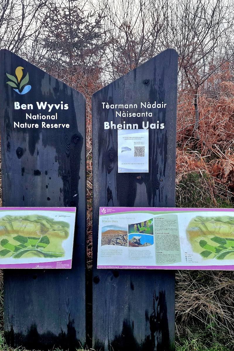
Place photographs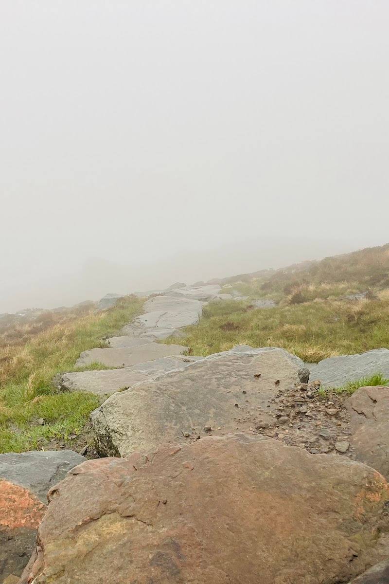
Keep exploring
Around Ben Wyvis National Nature Reserve
Within 50 km · approximate straight-line distances