Macclesfield Road, Nether Alderley, Macclesfield, Cheshire SK10 4UB
Alderley Edge Woodland Walk
route · Woodland walk
Place photograph
7.1
Wildland
Half day
Time
Check
Cost
Atmospheric
Feel
Why it's Wildland
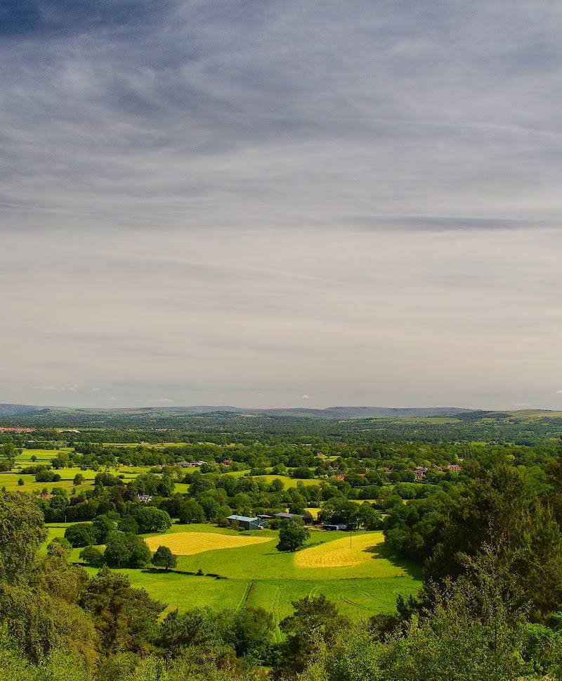
7.1A sandstone escarpment above the Cheshire Plain, where woodland paths pass historic mining remains and reach a high point associated with a Bronze Age burial mound and beacon.
Alderley Edge combines a distinctive sandstone edge and wide views with woodland, mining remains and a local legend. The steep, stepped terrain makes it a more demanding visit than a simple woodland stroll.
Atmospheric · Dramatic · Ancient-feeling
Find your way
Open mapMacclesfield Road, Nether Alderley, Macclesfield, Cheshire SK10 4UB
Opening map…
Know this place a little better?
The experience
Follow the woodland paths towards the sandstone escarpment for views across the Cheshire Plain towards the Peak District. Allow time for steep and stepped sections, and look out for historic mining remains. Longer waymarked routes are described, but exact route details should be checked before setting out.
Things to do
Take in the sandstone escarpment
Reach the edge for views across the Cheshire Plain towards the Peak District, as described by the supplied route source.
Look for historic mining remains
The woodland-walk source identifies historic mining remains along the landscape; it does not specify individual features or their locations.
Visit the high point associated with a Bronze Age mound
The source describes the Edge’s highest point as a Bronze Age burial mound later used as a beacon. Exact location and access details are not provided.
Make a day of it
Quick escape · 1–2 hours; route length and timing not verified
The edge and the view
- 01
Start from Alderley Edge and follow a suitable path towards the sandstone escarpment.
- 02
Pause at the edge for the countryside views.
- 03
Return by a path appropriate to current conditions; check route details before setting out.
Half day · Half day; exact route duration not verified
Woodland, escarpment and mining remains
- 01
Use the National Trust car park at Alderley Edge, checking current parking arrangements.
- 02
Follow a waymarked woodland route towards the escarpment.
- 03
Look for the mining remains mentioned in the route information.
- 04
Allow time for the steep and stepped terrain and the views from the edge.
Verified history
The supplied woodland-walk source describes a Bronze Age burial mound at the Edge’s highest point, later used as a beacon, and mentions historic mining remains. It does not provide dates or further detail about the mining history.
Folklore & legend
The woodland-walk source says the area is tied to a local Alderley Edge legend but does not give the story. Treat any specific version as folklore unless supported by further evidence.
When to go
· Countryside is listed as open from dawn to dusk. No preferred time is evidenced.
The supplied sources do not establish a best season.
Check conditions before visiting; the National Trust notes steep terrain and steps. No further weather-specific guidance is evidenced.
The route
- duration
- More than 3 hours is stated by the supplied Tripadvisor listing; individual route distance and duration are not given.
- difficulty
- Steep terrain and steps; most of the countryside is not suitable for wheelchairs.
- waymarking
- Waymarked trails are described; exact markings and routes should be checked.
- start point
- Alderley Edge; exact trailhead not specified.
- parking start
- National Trust car park at Alderley Edge, Macclesfield Road, SK10 4UB. Check current charges and access.
- Sandstone escarpment with views across the Cheshire Plain towards the Peak District
- Woodland paths
- Historic mining remains
- High point associated with a Bronze Age burial mound later used as a beacon
What to look for
- 01
The sandstone escarpment and its views across the Cheshire Plain
- 02
historic mining remains
- 03
the high point associated with a Bronze Age burial mound later used as a beacon.
The story
Historic mining remains; a Bronze Age burial mound later used as a beacon.
Best time to go
Not specified by the supplied sources; check conditions before visiting.
The supplied sources do not identify a particular season or time of day as best. Countryside opening is listed as dawn to dusk; check current conditions and access information.
How long to spend
Half day
Perfect for
Walkers · History lovers · Photographers
Route at a glance
Duration
Half day
Terrain
Woodland, Hills
Parking / start
National Trust car park at Alderley Edge, Macclesfield Road, SK10 4UB. The supplied National Trust source lists charges of £5 for up to four hours and £8 all day for non-members; members park free with registration. Check current details before setting out.
Before you go
Address
Google rating
Practical information
Opening & access
National Trust countryside is listed as open from dawn to dusk. Paths include steps and steep terrain; check current access information before travelling.
Check before visiting
Parking
National Trust car park at Alderley Edge, Macclesfield Road, SK10 4UB. The supplied National Trust source lists charges of £5 for up to four hours and £8 all day for non-members; members park free with registration. Check current details before setting out.
Check before visiting
Toilets
Toilets are listed at Alderley Edge; check current availability.
Check before visiting
Food & drink
An independent, locally run tea room is listed at Alderley Edge; check current availability.
Check before visiting
Dogs
Dogs are allowed. Keep them on a short lead around livestock, ground-nesting birds and where signs indicate; take responsibility for dog waste.
Accessibility
Blue Badge parking and an accessible toilet are listed. Most of the countryside has steps and steep terrain and is not suitable for wheelchairs.
Cost
Paid parking for non-members; check current details
Check before visiting
Gallery
Place photographs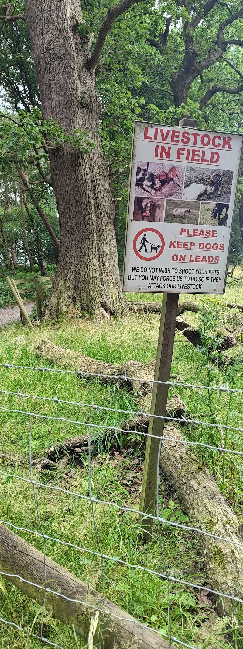

Keep exploring
Around Alderley Edge Woodland Walk
Within 50 km · approximate straight-line distances

 Place photograph5.8
Bollington to Waulkmill Waterfall Circular
Bollington, Cheshire, England
7.9 km away

 Place photograph5.4
Zoo2U / Holmes Chapel Zoo
The Orchards, Holmes Chapel, Cheshire CW4 8DS
12.3 km away

